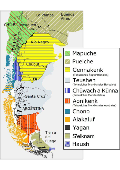
Dispossesions in the Americas

Dispossesions in the Americas

  • Lar
  • Explorar
  • Autores
  • Sobre
  • Arte
  • Corpos
  • Currículos
  • Patrimônio Cultural
  • Mapas
  • Territórios
Voltar à seção Explorar

Lendo em Inglês

Mapa 1780

Carte des Isles Antilles ou du Vent Avec la partie orientale des Isles sous le vent

  • RAYNAL;G.T. ET AL

Publicado: 1780

  • Baixar Imagem
  • Baixar Imagem

Lendo em Espanhol

Mapa 1780

Carte des Isles Antilles ou du Vent Avec la partie orientale des Isles sous le vent

  • RAYNAL;G.T. ET AL

Publicado: 1780

  • Baixar Imagem
  • Baixar Imagem
Mapa 1780

Carte des Isles Antilles ou du Vent Avec la partie orientale des Isles sous le vent

  • RAYNAL;G.T. ET AL

Publicado: 1780

  • Baixar Imagem

Povos

  • GUARUANA

Citação

Raynal;G. T.;and R. Bonne. Carte Des Isles Antilles ou du Vent;Avec La Partie Orientale Des Isles Sous Les Vent. Map. Geneva: Jean-Leonard Pellet;1780. Accessed December 28;2022. https://www.davidrumsey.com/luna/servlet/detail/RUMSEY~8~1~252977~5518713:Carte-Des-Isles-Antilles-ou-du-Vent?sort=pub_list_no_initialsort%2Cpub_date%2Cpub_list_no%2Cseries_no#.

  • Baixar Imagem

Itens Relacionados

A New Map of Part /of the Great River / De la Plata, /of Tucuman / and the adjacent Countries, from Buenos Ayres to Potosí

A New Map of Part /of the Great River / De la Plata, /of Tucuman / and the adjacent Countries, from Buenos Ayres to Potosí

Mapa 1716
PIANO DELL'ALTO PARANA da S. Anna al fiume Iguazu

PIANO DELL'ALTO PARANA da S. Anna al fiume Iguazu

Mapa 1884
Haush Indians of Tierra del Fuego

Haush Indians of Tierra del Fuego

Mapa 1800
Mulata

Mulata

Obra de arte
Asentamientos de los Pipiles-Nicaraos

Asentamientos de los Pipiles-Nicaraos

Mapa 1972
Proyecto “Ranti-Ranti Acuerdo de Trueque” [Projeto “Ranti-Ranti Acordo de troca”

Proyecto “Ranti-Ranti Acuerdo de Trueque” [Projeto “Ranti-Ranti Acordo de troca”

Obra de arte
REGIÓN CHONTAL DE TABASCO

REGIÓN CHONTAL DE TABASCO

Mapa 2000
SKETCH MAP OF THE MISSIONS OF THE CATALONIAN CAPUCHINS IN THE SPANISH PROVINCE OF GUAYANA ABOUT 1771

SKETCH MAP OF THE MISSIONS OF THE CATALONIAN CAPUCHINS IN THE SPANISH PROVINCE OF GUAYANA ABOUT 1771

Mapa 1771

Despossessões nas Américas

Um projeto de

University of Pennsylvania

Copyright 2024

Com o apoio de

Mellon Foundation

Projeto e desenvolvimento do site

Element 84

Créditos da arte

Raynal;G. T.;and R. Bonne. Carte Des Isles Antilles ou du Vent;Avec La Partie Orientale Des Isles Sous Les Vent. Map. Geneva: Jean-Leonard Pellet;1780. Accessed December 28;2022. https://www.davidrumsey.com/luna/servlet/detail/RUMSEY~8~1~252977~5518713:Carte-Des-Isles-Antilles-ou-du-Vent?sort=pub_list_no_initialsort%2Cpub_date%2Cpub_list_no%2Cseries_no#.

Páginas do site

  • Lar
  • Explorar
  • Autores
  • Sobre
  • Arte
  • Corpos
  • Currículos
  • Patrimônio Cultural
  • Mapas
  • Territórios