Povos
- CARIBE
- KUMANAGOTO
- ARAWAK
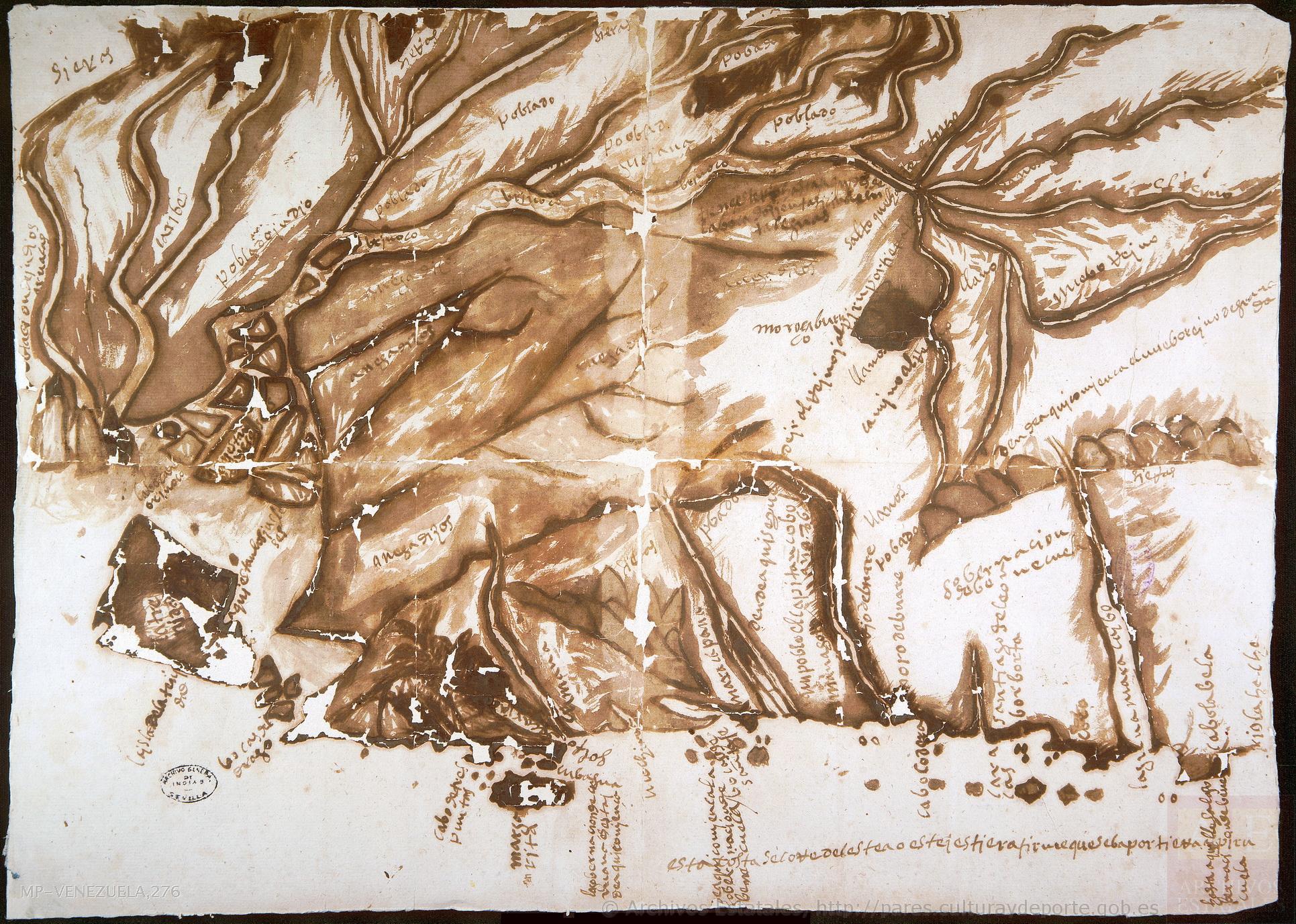
Citação
"Mapa de la costa y parte de la provincia de Venezuela." Map. 1590. Accessed August 21;2022. http://pares.mcu.es/ParesBusquedas20/catalogo/show/26227.
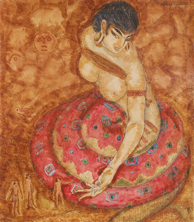
A Cobra Grande manda para sua filha a noz de Tucunã
Obra de arte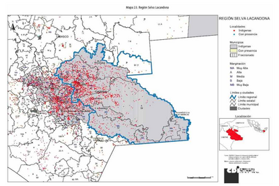
REGIÓN SELVA LACANDONA
Mapa 2000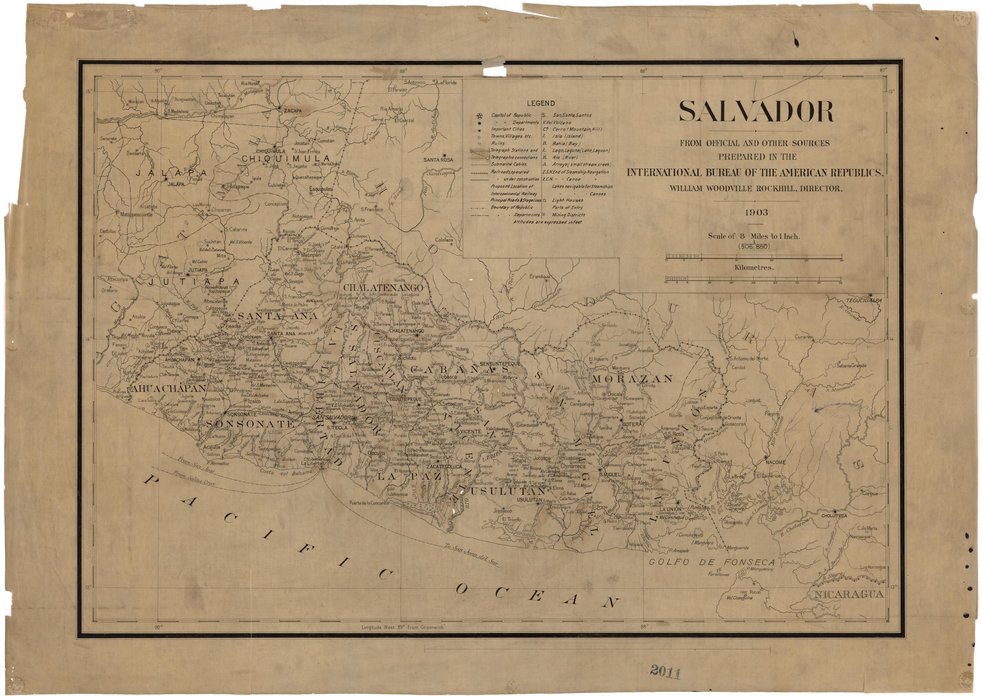
El Salvador: from Official and Other Sources.
Mapa 1903
Outlines of the physical and political division of South America: Delineated by A. Arrowsmith partly from scarce and original documents, published before the year 1806 but principally from manuscript maps & surveys made between the years 1771 and 1806, corrected from accurate astronomical observations to 1810.
Mapa 1800 - 1899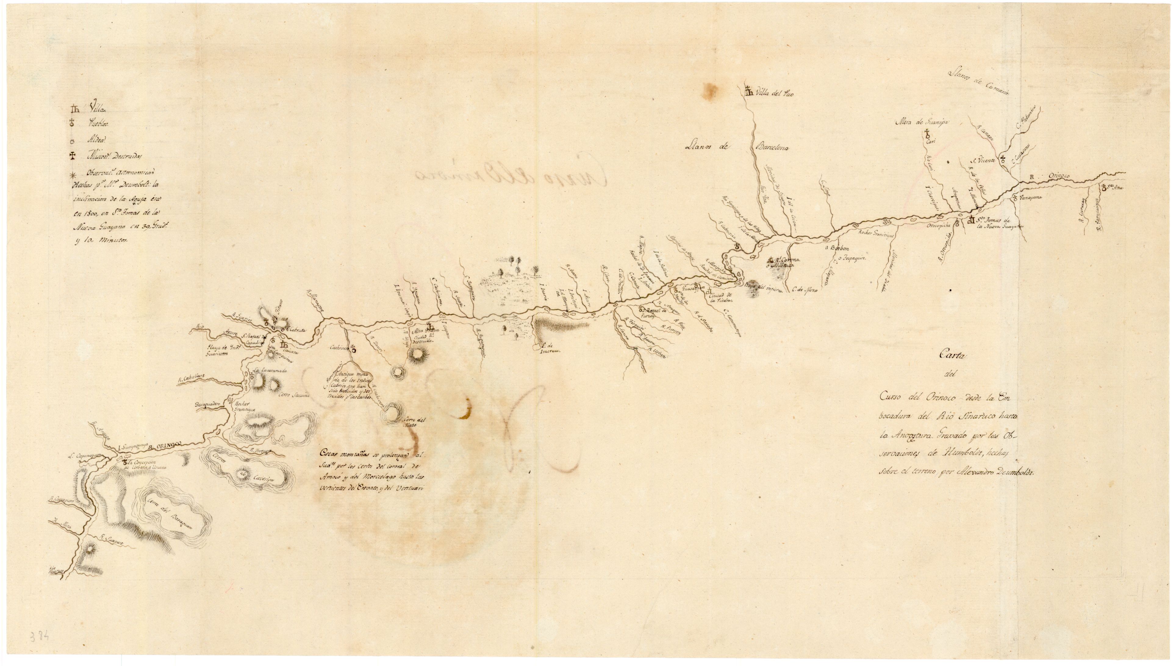
Carta del curso del Orinoco desde la Embocadura del Rio Sinaruco hasta la Angostura
Mapa 1800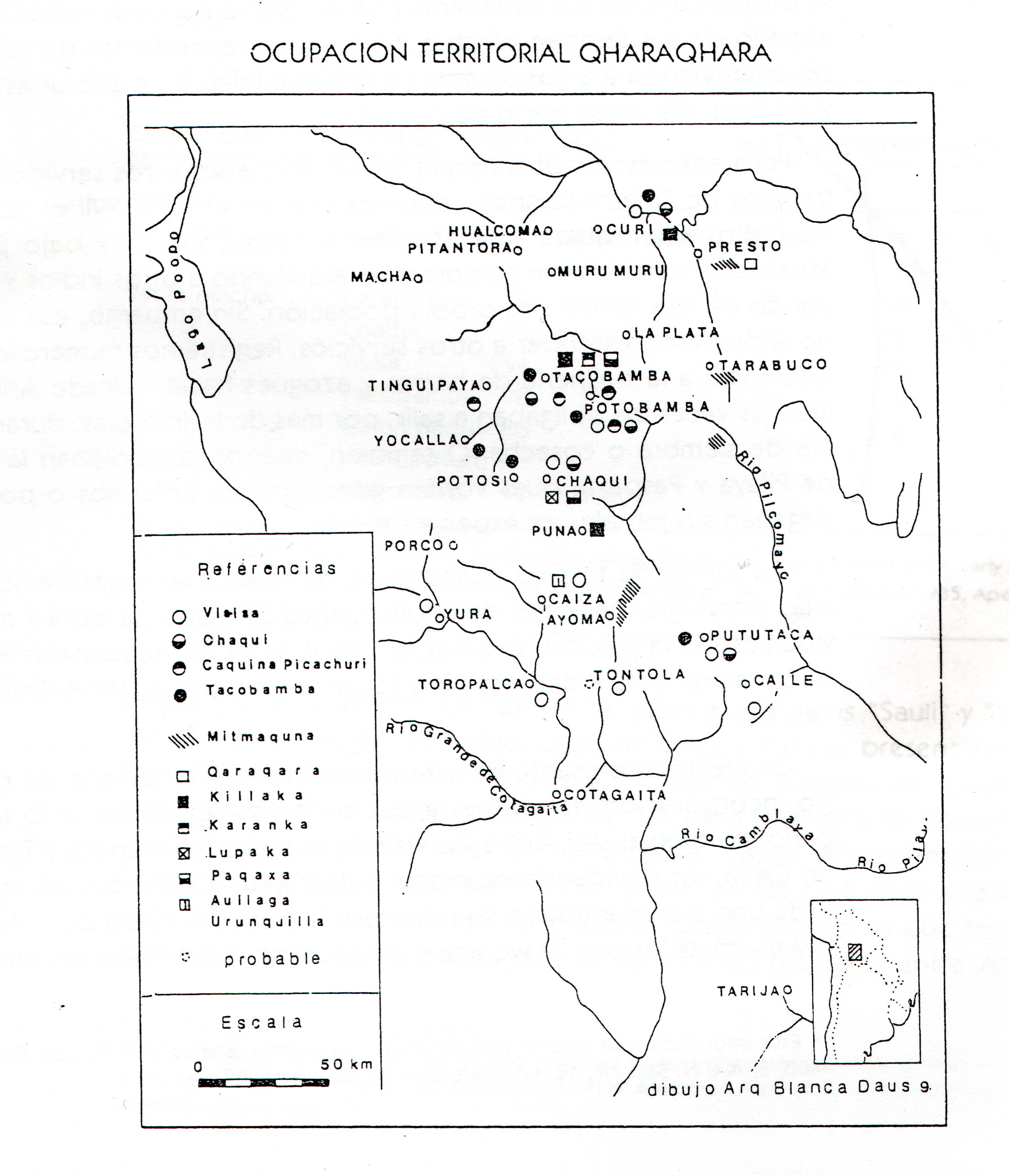
TERRITORIO DEL SEÑORÍO AYMARA DE LOS QARAQARA EN EL SIGLO XVI
Mapa 1530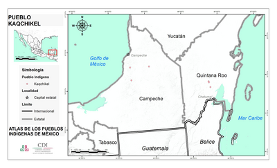
PUEBLO KAQCHIKEL
Mapa 2020
Carte de la Guyane française au 1 : 500.000.
Mapa 1949