
Povos
- AMUZGO
- MIXTECO
- NAHUA
- TLAPANECO
Citação
Instituto Nacional de los Pueblos Indígenas. "Distribución por Entidad Federativa." Atlas de los pueblos indígenas de México. http://atlas.inpi.gob.mx/distribucion-por-entidad-federativa/.
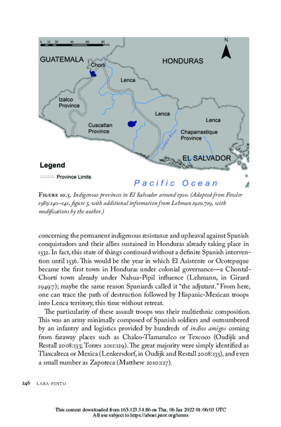
Indigenous provinces in El Salvador around 1500. (Adapted from Fowler 1989140-141, figure 5, with additional information from Lehman 1920:719, with modifications by the author.)
Mapa 1500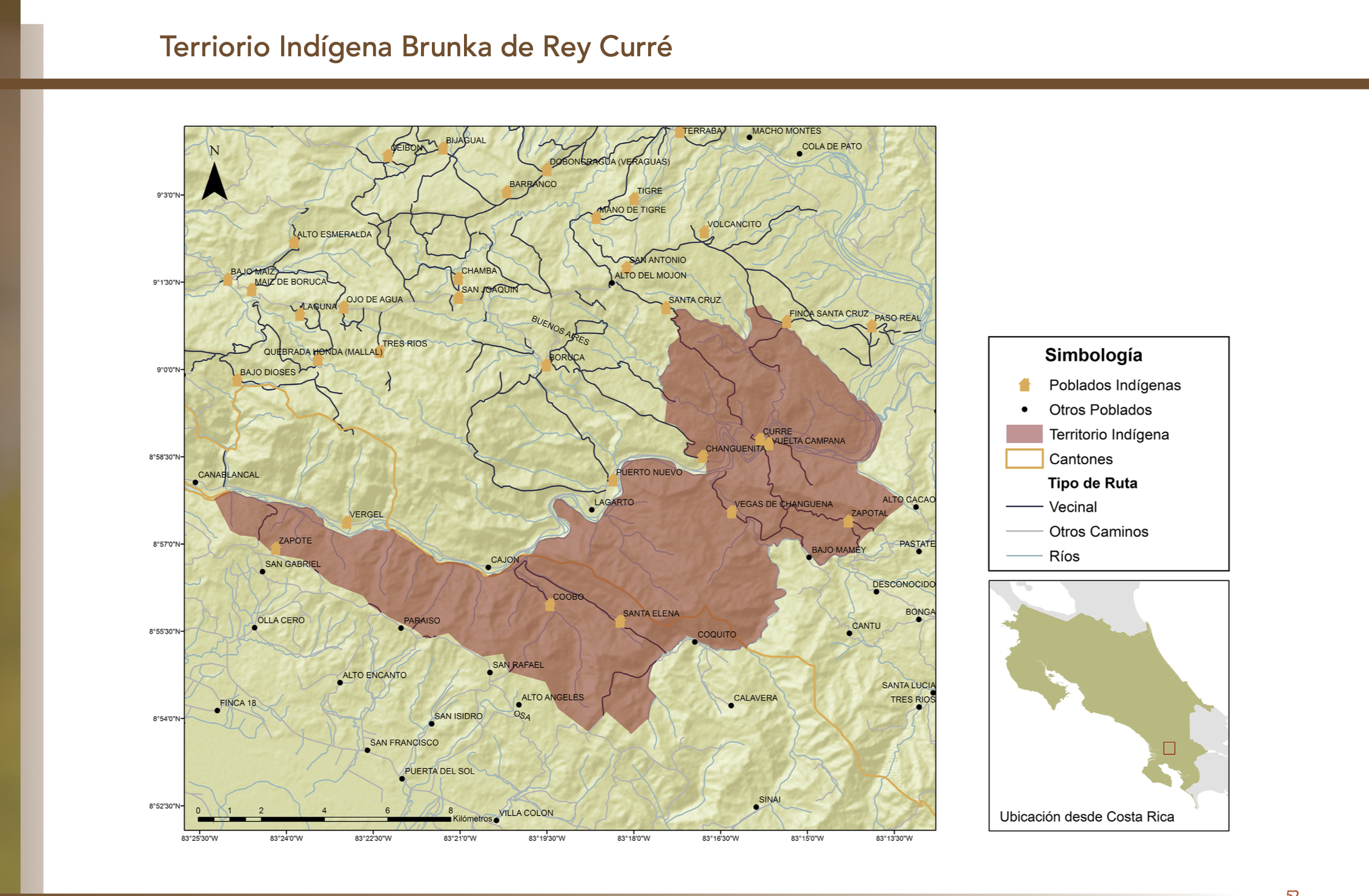
"Territorio Indígena Brunka de Rey Curré"
Mapa 2010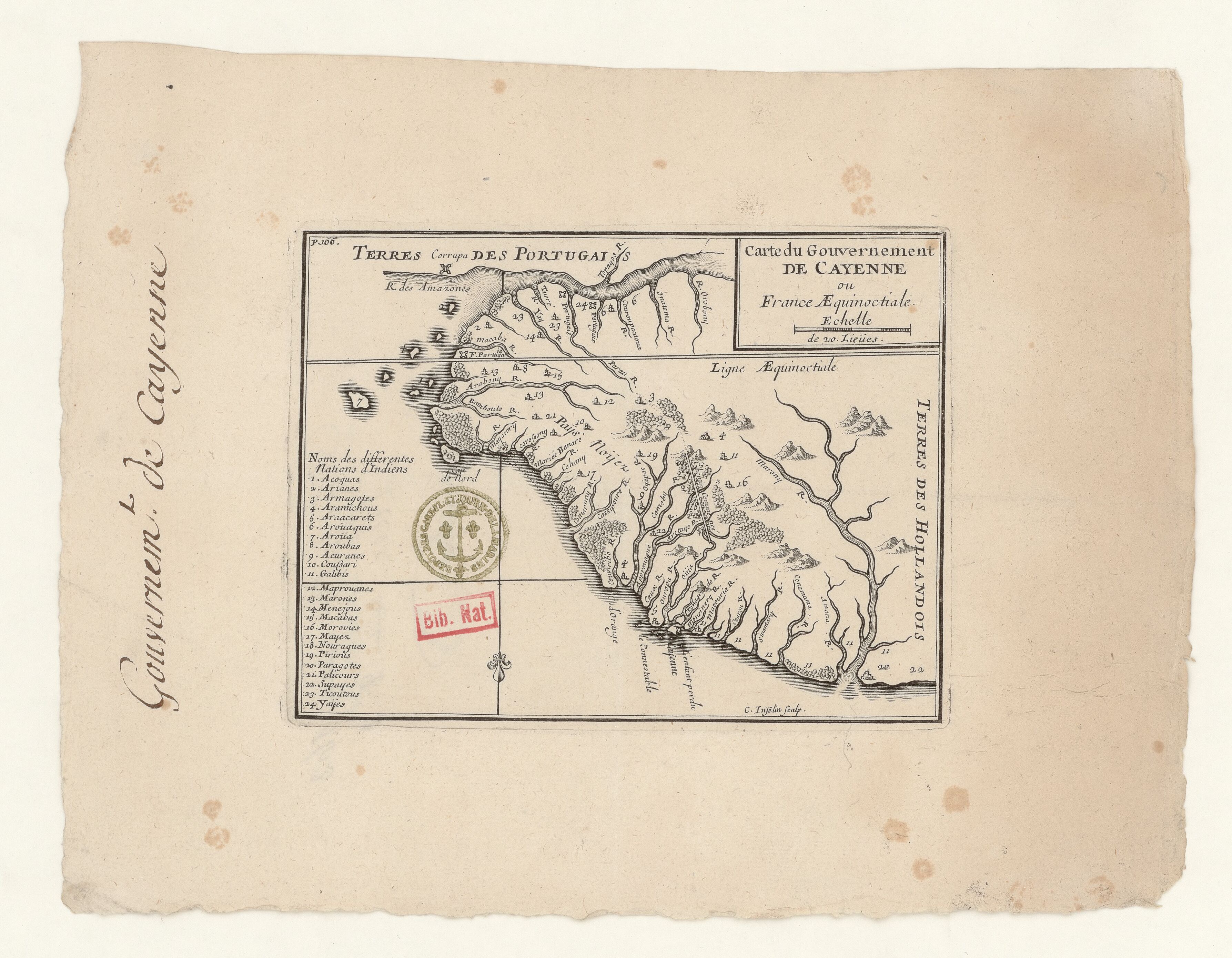
Carte du Gouvernement de Cayenne ou France Aequinoctiale.
Mapa 1680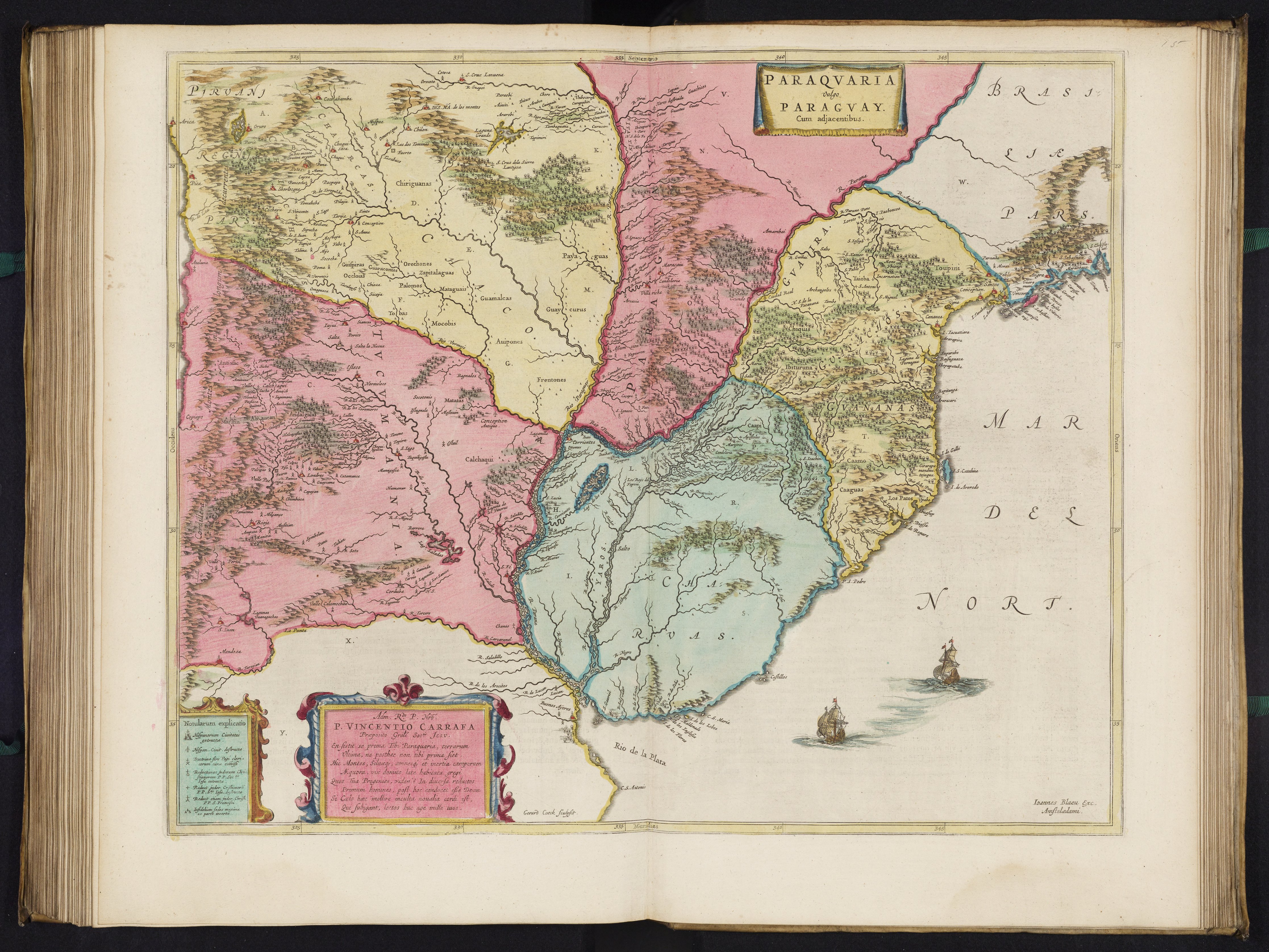
PARAQVARIA vulgo PARAGVAY.
Mapa 1600 - 1699
Ese Eja Communities
Mapa 1900
SKETCH MAP OF THE CAPUCHIN MISSIONS IN GUAYANA ABOUT 1779
Mapa 1779
SKETCH MAP OF BRITISH GUIANA
Mapa 1835 - 1839![Bedxe´Guie´ [Terra Sagrada]](https://dnet8ble6lm7w.cloudfront.net/art_sm/AMEX002.png)
Bedxe´Guie´ [Terra Sagrada]
Obra de arte