
Povos
- NAHUA
Citação
Instituto Nacional de los Pueblos Indígenas. "Distribución por Entidad Federativa." Atlas de los pueblos indígenas de México. http://atlas.inpi.gob.mx/distribucion-por-entidad-federativa/.
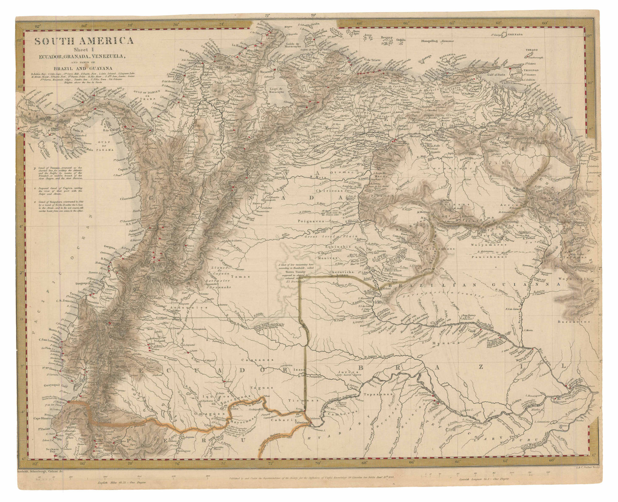
SOUTH AMERICA Sheet I: ECUADOR;GRANADA;VENEZUELA;AND PARTS OF BRAZIL AND GUYANA
Mapa 1842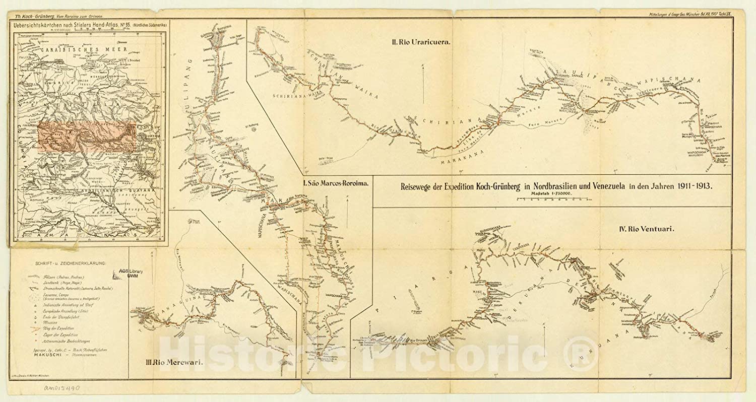
Expedition Koch-Grunberg in Nordbrasilien und Venezuela in den Jahren 1911-1913
Mapa 1911 - 1913![The Lighthouse [O farol]](https://dnet8ble6lm7w.cloudfront.net/art/ABRA004.jpeg)
The Lighthouse [O farol]
Obra de arte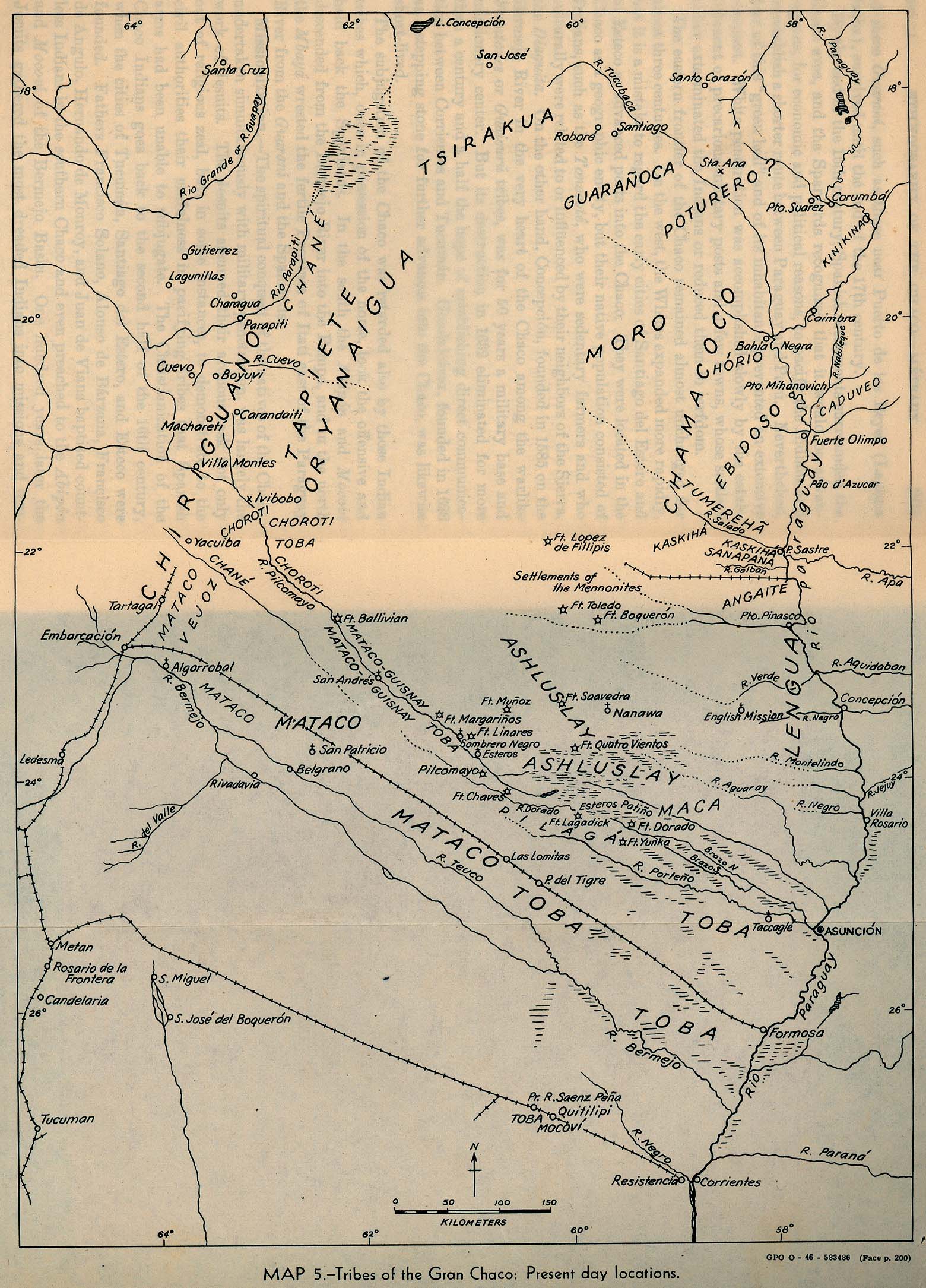
Tribes of the Gran Chaco: Present day locations
Mapa 1946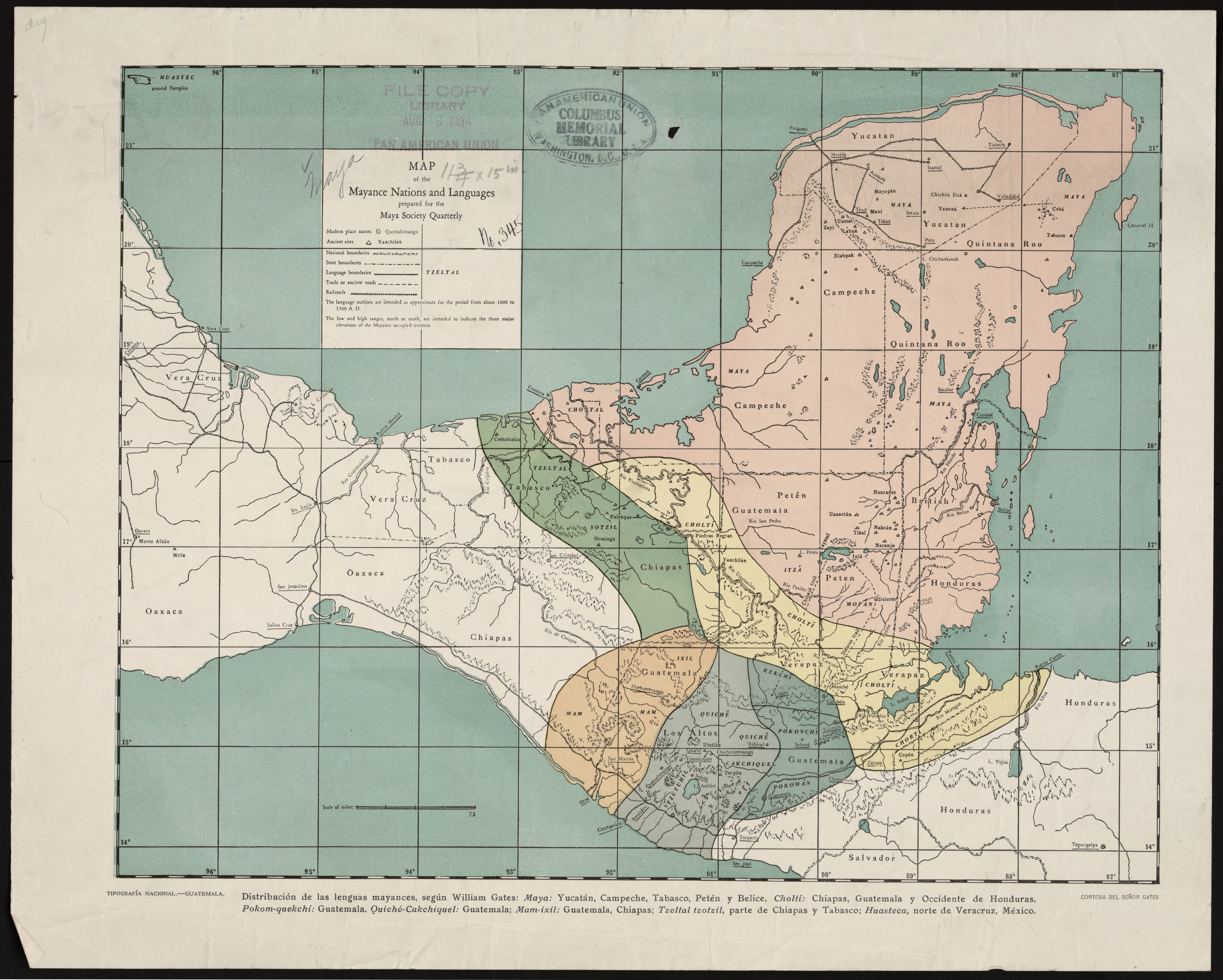
Map of the Mayance Nations and Languages
Mapa 1000 - 1500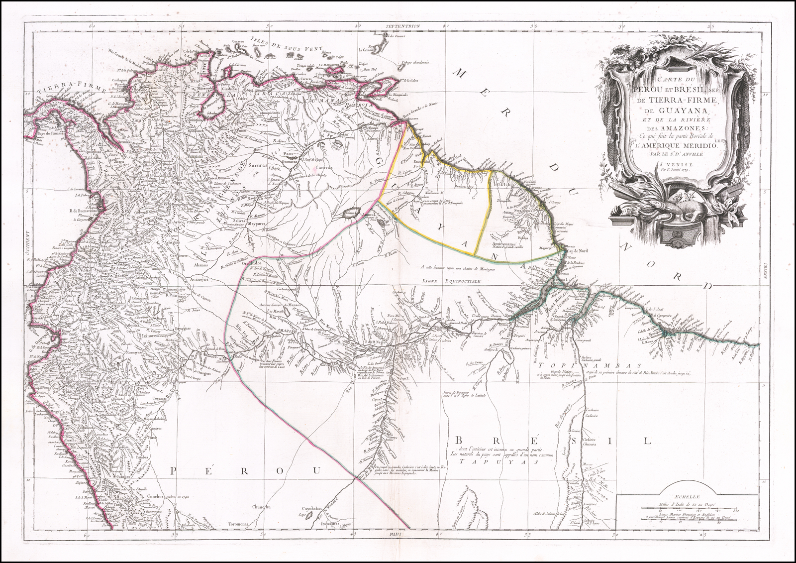
Carte du Pérou et Brésil sep.l de Tierra-Firme, de Guyana, et de la Rivière des Amazones: Ce qui fait la partie Boréale de l'Amérique Meridio. le. Par le Sr. D' Anville
Mapa 1700 - 1799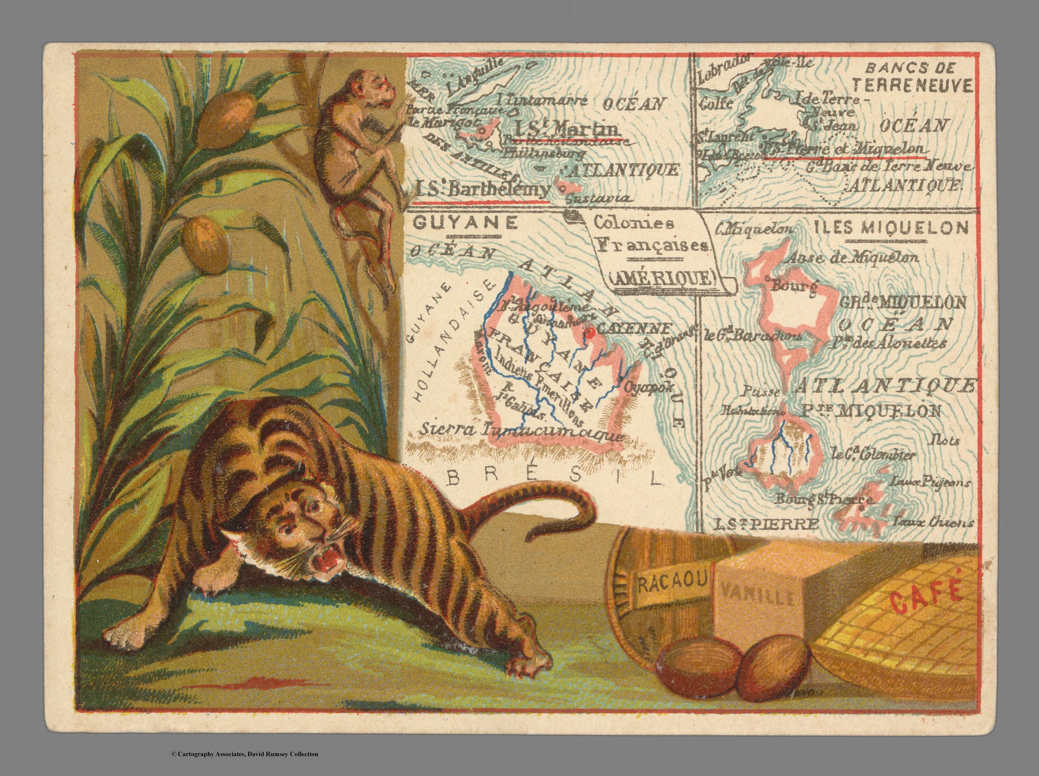
Colonies Françaises. Amérique
Mapa 1800 - 1899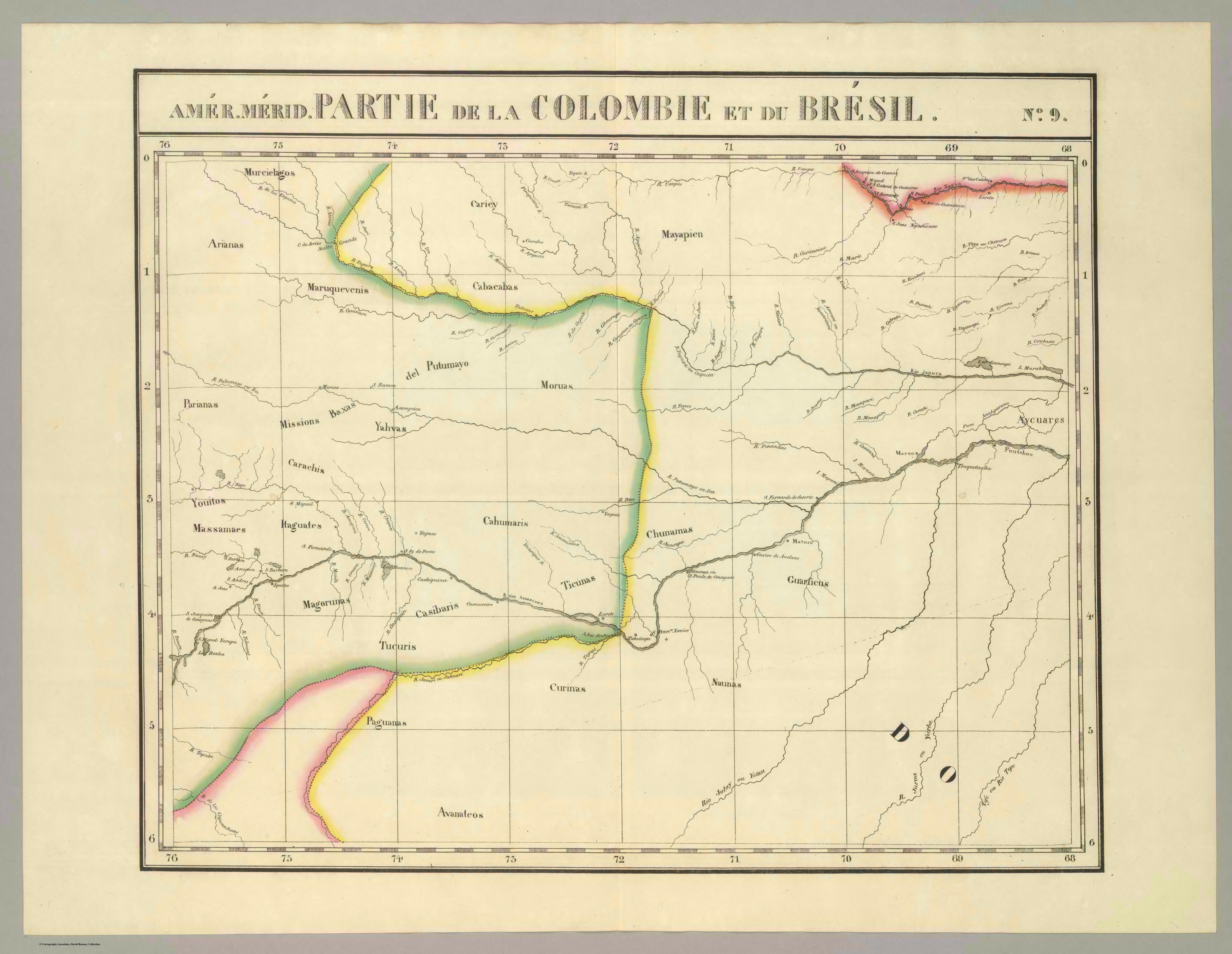
Partie de la Colombie et du Bresil. Amer. Merid. no. 9. (Dresse par Ph. Vandermaelen;lithographie par H. Ode. Cinquieme partie - Amer. merid. Bruxelles. 1827)
Mapa 1827