Povos
- TEKO
Citação
Instituto Nacional de los Pueblos Indígenas. "Tekos- Ubicación." Atlas de los Pueblos Indígenas de México. http://atlas.inpi.gob.mx/tekos-ubicacion/.
PUEBLO MAZAHUA
Mapa 2020
A draught of the Bay of Honduras and part of the Musquetto Shore by George Robertson
Mapa 1766
San Roman and Santa Rosa
Mapa 1997
San Juan Baptista, San Luys Tezontla y Santa María Nochtongo. Oaxaca, 1579
Mapa 1579
Carte de la Guiane française dressée à Cayenne par ordre du Gouvernement, dans la construction de laquelle, employant tous les matériaux géographiques qui se troucent actuellement au dépôt des Cartes et Plans de la Colonie, après les avoir assujétis à plusieurs observations astronomiques.
Mapa 1782
BRÉSIL: Carte Politique et Économique
Mapa 1906 - 1907
VICEROYALTY OF NEW GRANADA AND GOVERNMENT OF CARACAS
Mapa 1813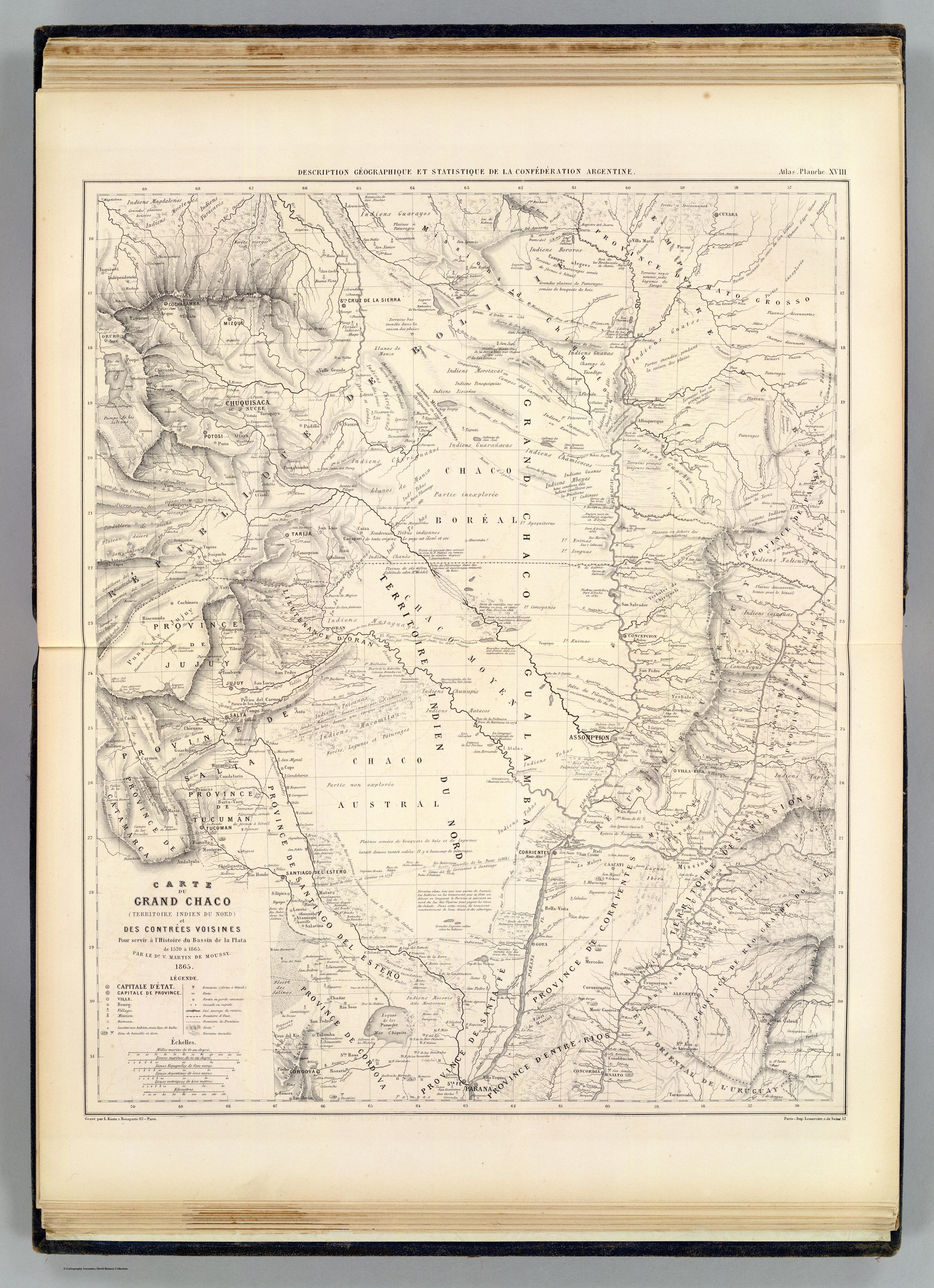
CARTE DU GRAND CHACO (TERRITOIRE INDIEN DU NORD) et DES CONTRÉES VOISINES
Mapa 1520