Povos
- INDIAN CONIES
Citação
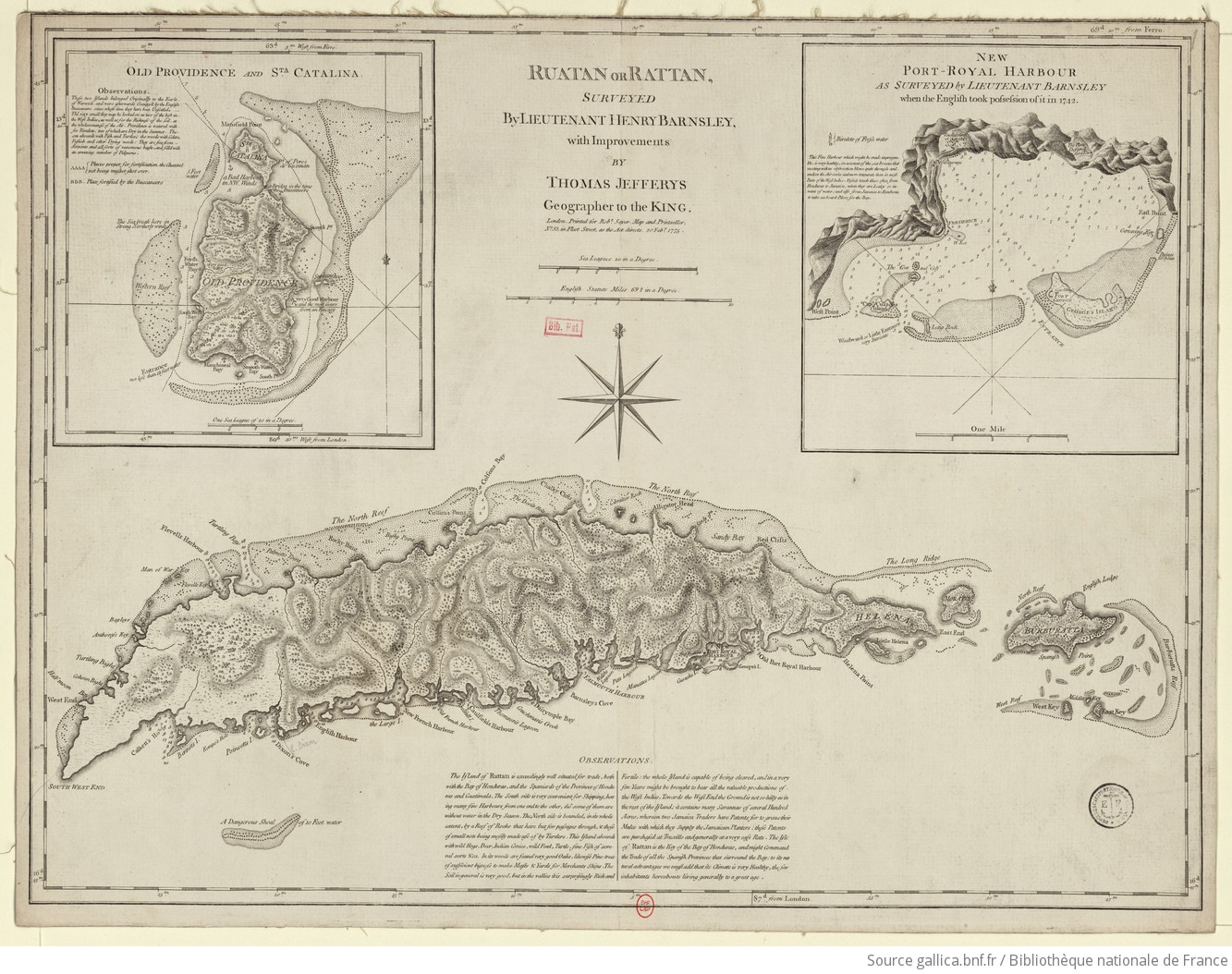
Barnsley, Henry, and Thomas Jefferys. Ruatan or Rattan. Map. London, England: Robert Sayer, 1775. Accessed August 10, 2023. https://gallica.bnf.fr/ark:/12148/btv1b59707979.r=Honduras?rk=300430;4.
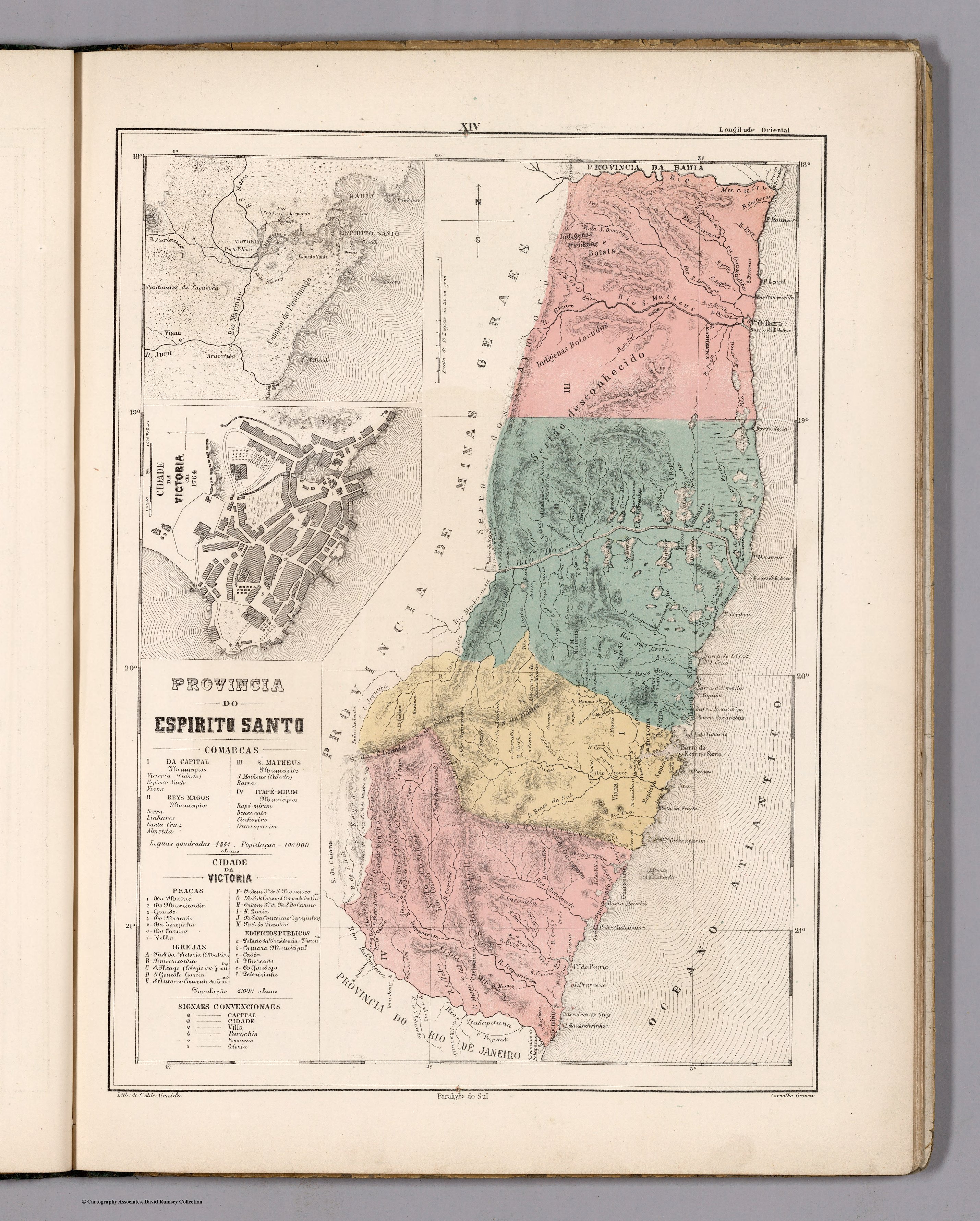
PROVINCIA DO ESPIRITO SANTO
Mapa 1800 - 1850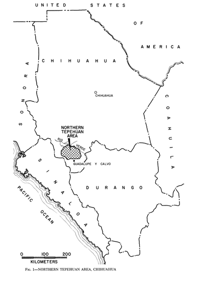
Northern Tepehuan Area, Chihuahua
Mapa 1969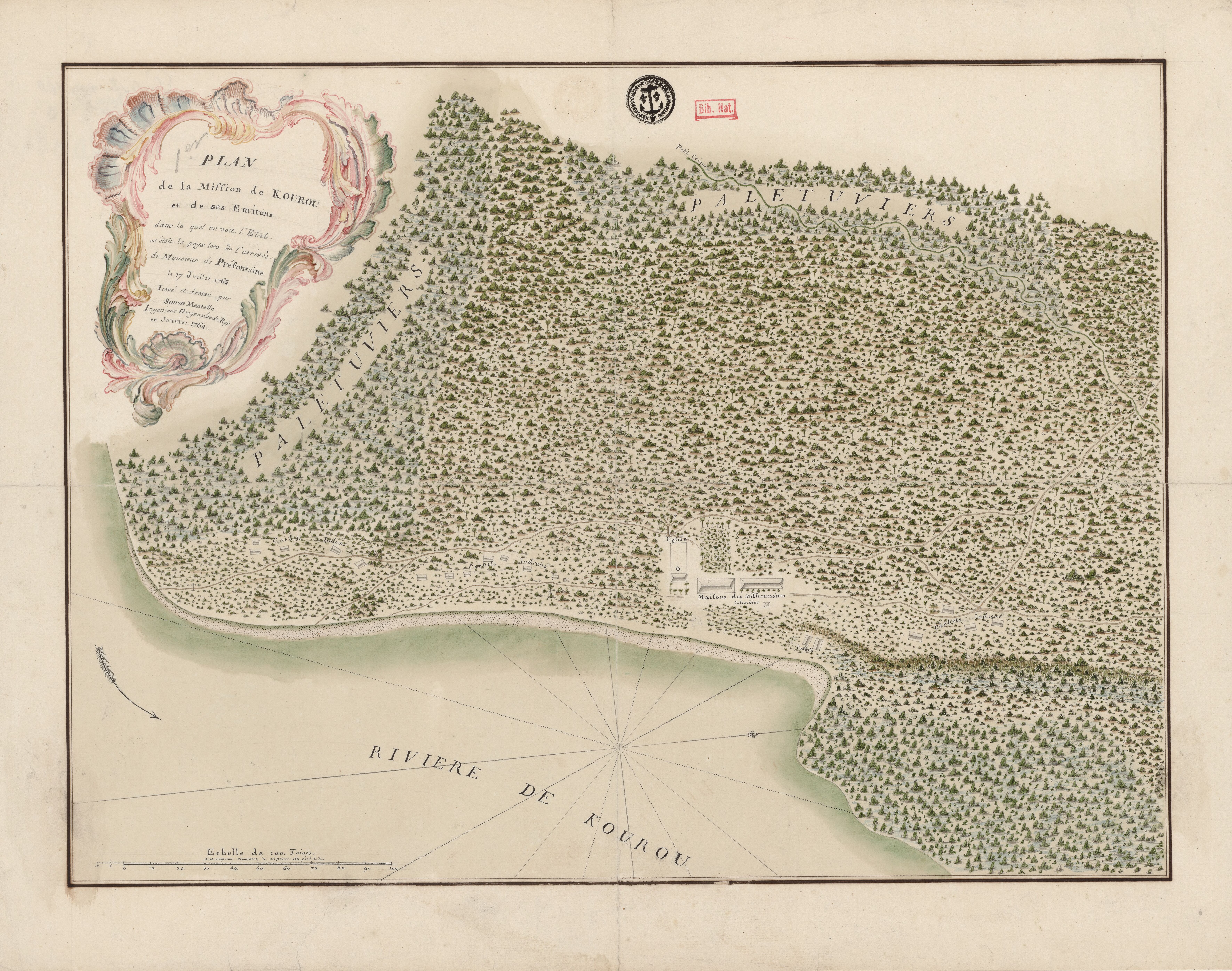
Plan de la Mission de Kourou et de ses Environs dans lequel on voit l'Etat dans lequel étoit le pays lors de l'arrivée de Monsieur de Préfontaine le 17 juillet 1763
Mapa 1763
NIVACLÉ
Mapa 2015
PUEBLO CHOCHOLTECO
Mapa 2020
Chile's Indigenous Population
Mapa 2021
Map of the RIVER AQUIRY (an Affluent of the Purûs)
Mapa 1800 - 1850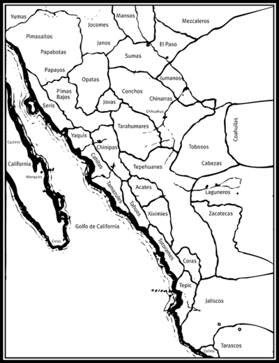
Las tribus indígenas de las misiones
Mapa