
Povos
- MUSKETOR
Citação
Penhallow, Samuel. The Spanish and Musketor shore and the bay of Honduras and the islands adjacent. Map. London, England, 1735. Accessed August 6, 2023. https://gallica.bnf.fr/ark:/12148/btv1b5970790d/f1.item.r=Honduras.zoom.
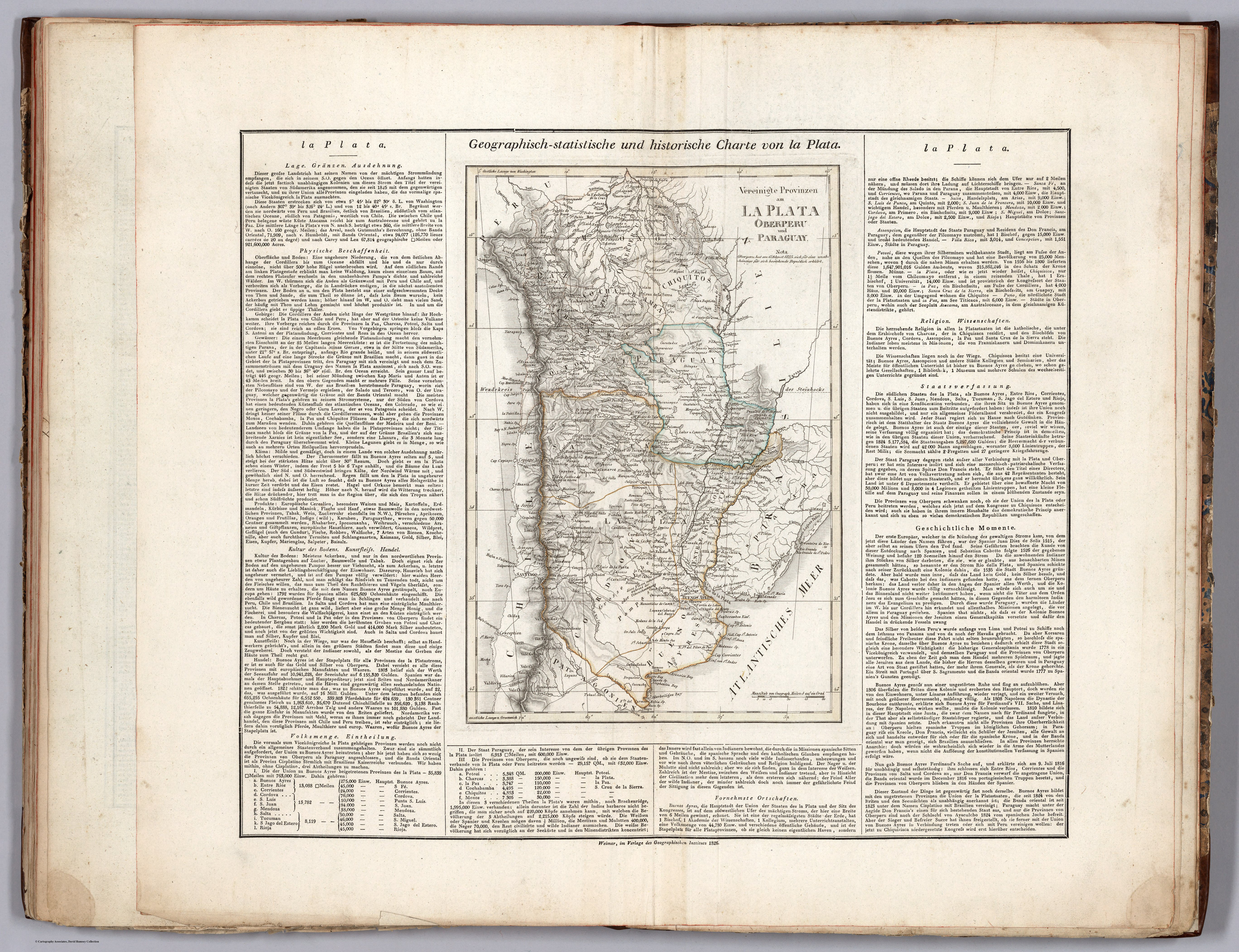
Vereinigte Provinzen am LA PLATA Oberperu und Paraguay
Mapa 1826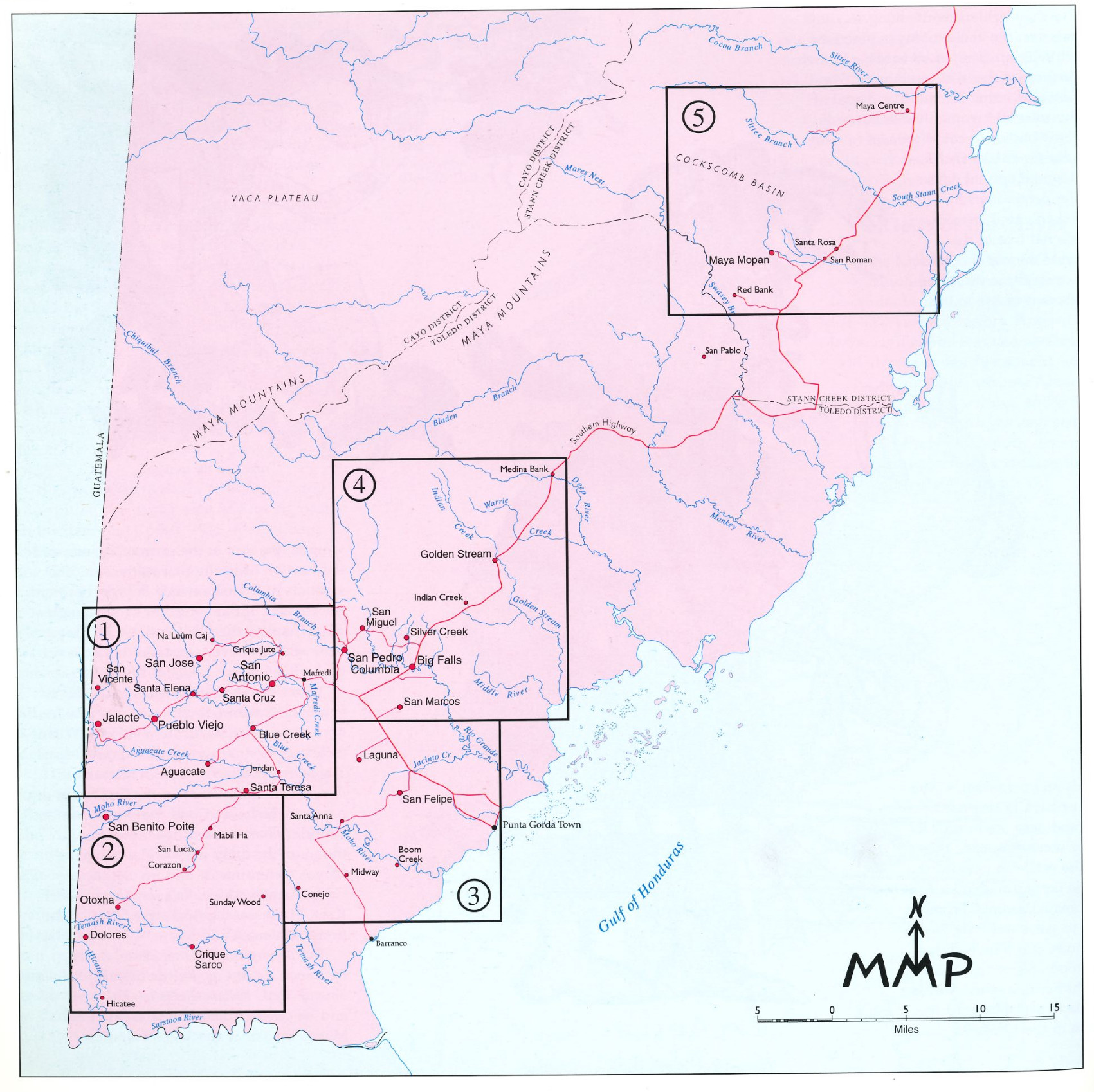
Village Groupings
Mapa 1997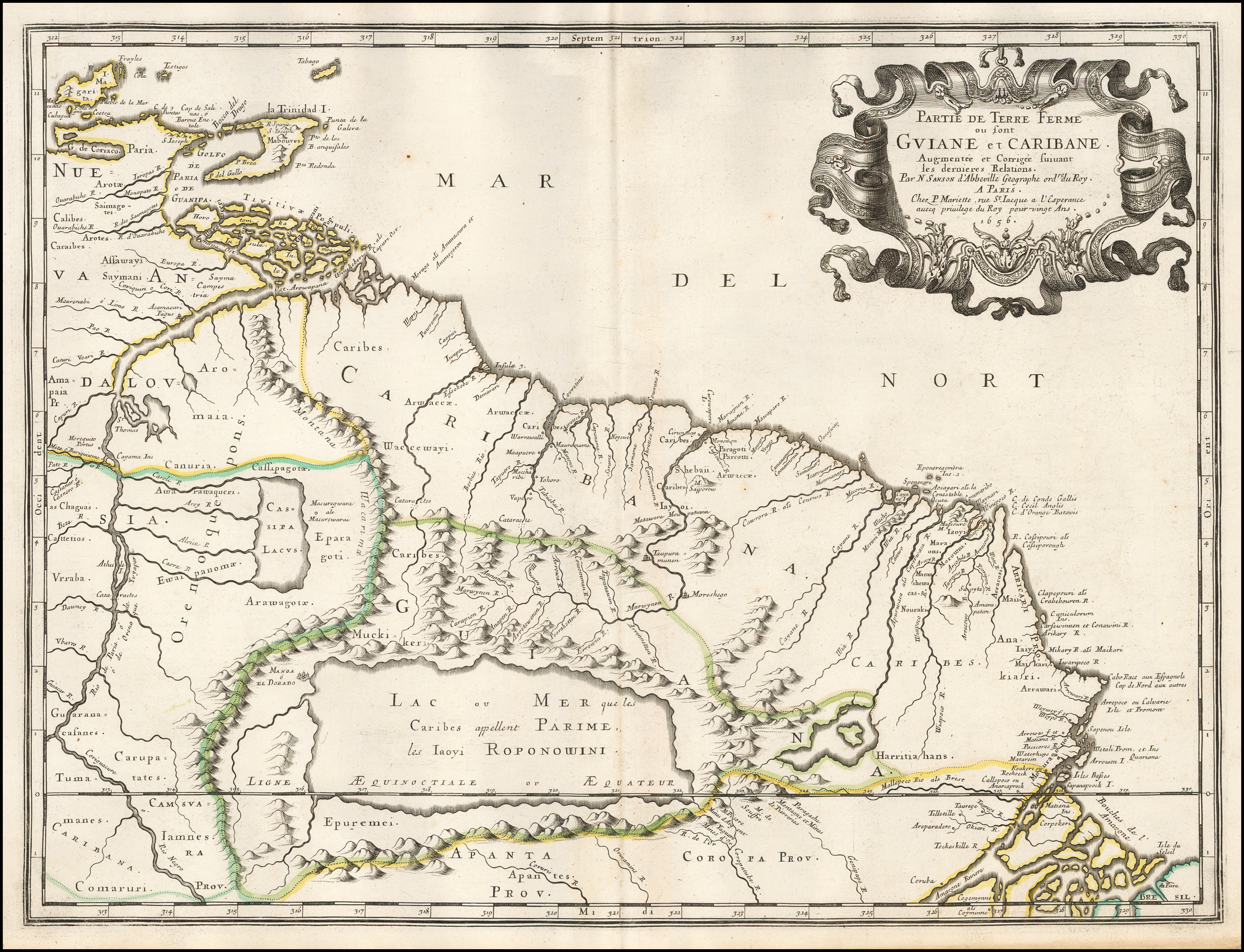
Partie de Terre Ferme ou sont Guiane et Caribane. Augmentée et Corrigée suivant les dernières Relations
Mapa 1594 - 1596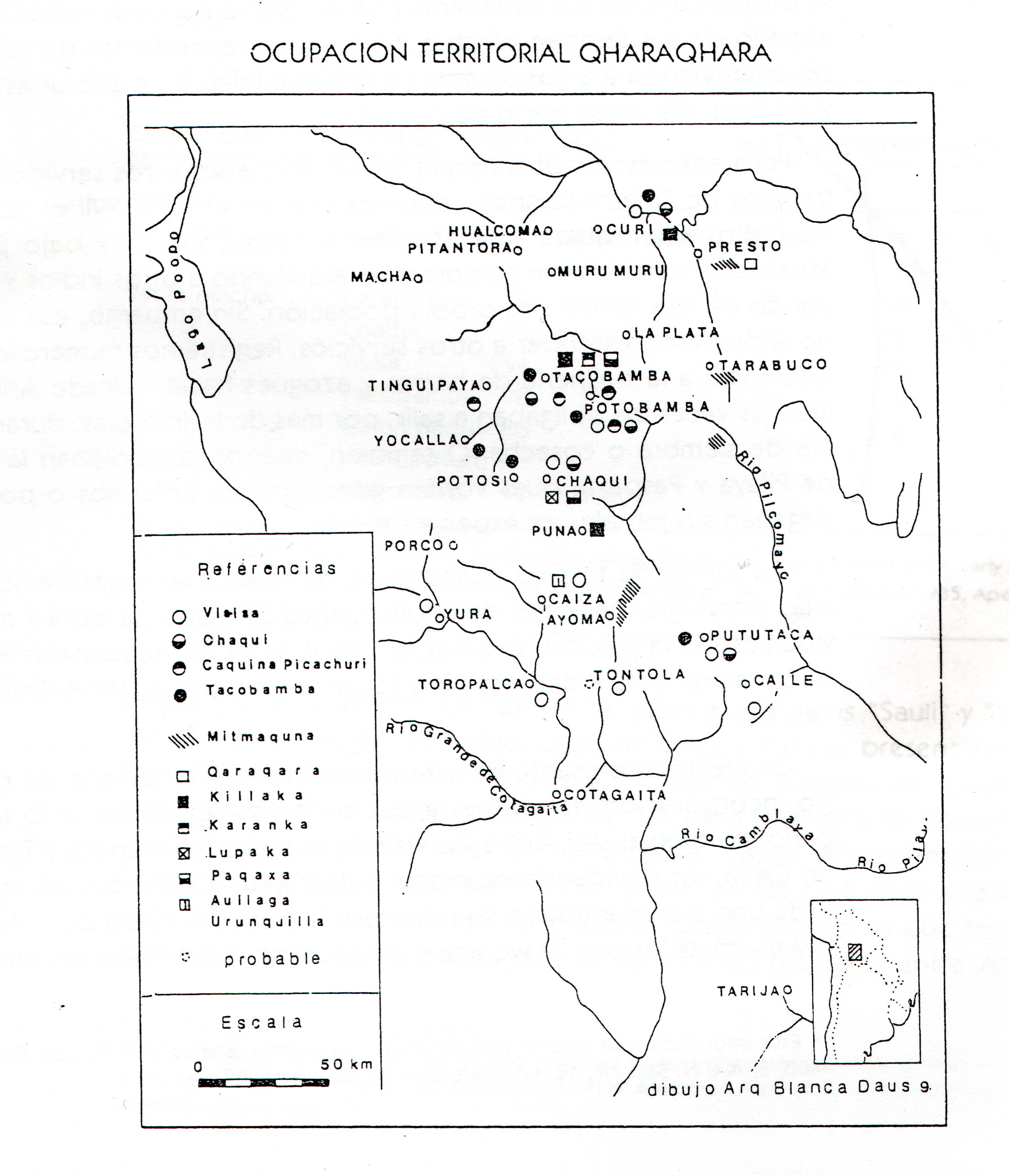
TERRITORIO DEL SEÑORÍO AYMARA DE LOS QARAQARA EN EL SIGLO XVI
Mapa 1530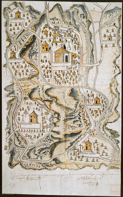
PUEBLO DE TETELA, PERTENECIENTE A LA CORONA, EN EL DISTRITO DE LA AUDIENCIA DE MÉXICO
Mapa 1581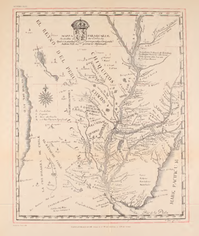
MAPPA PARAQUARIAE
Mapa 1700 - 1770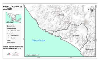
PUEBLO NAHUA DE JALISCO
Mapa 2020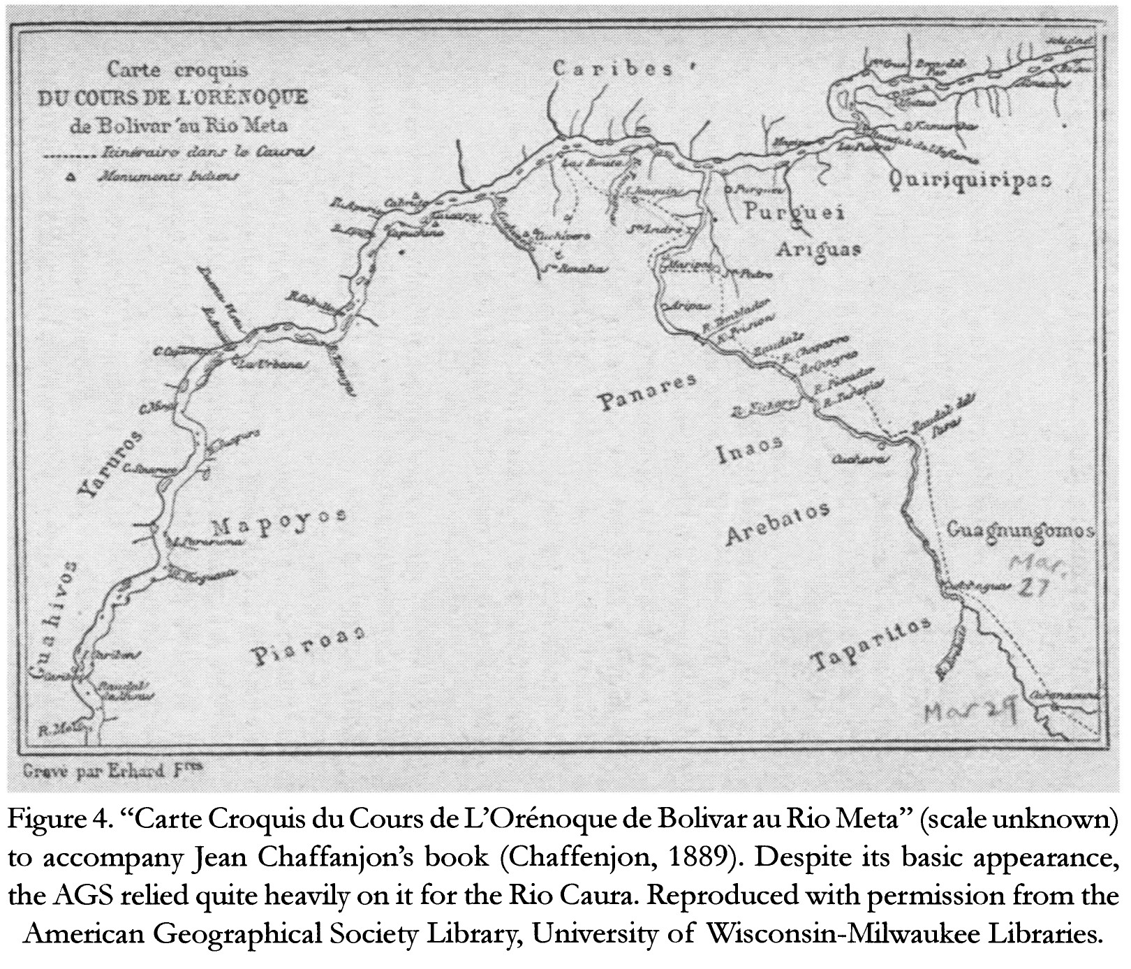
Carte Croquis DU COURS DE L'ORÉNOQUE de Bolivar àu Rio Meta
Mapa 1884