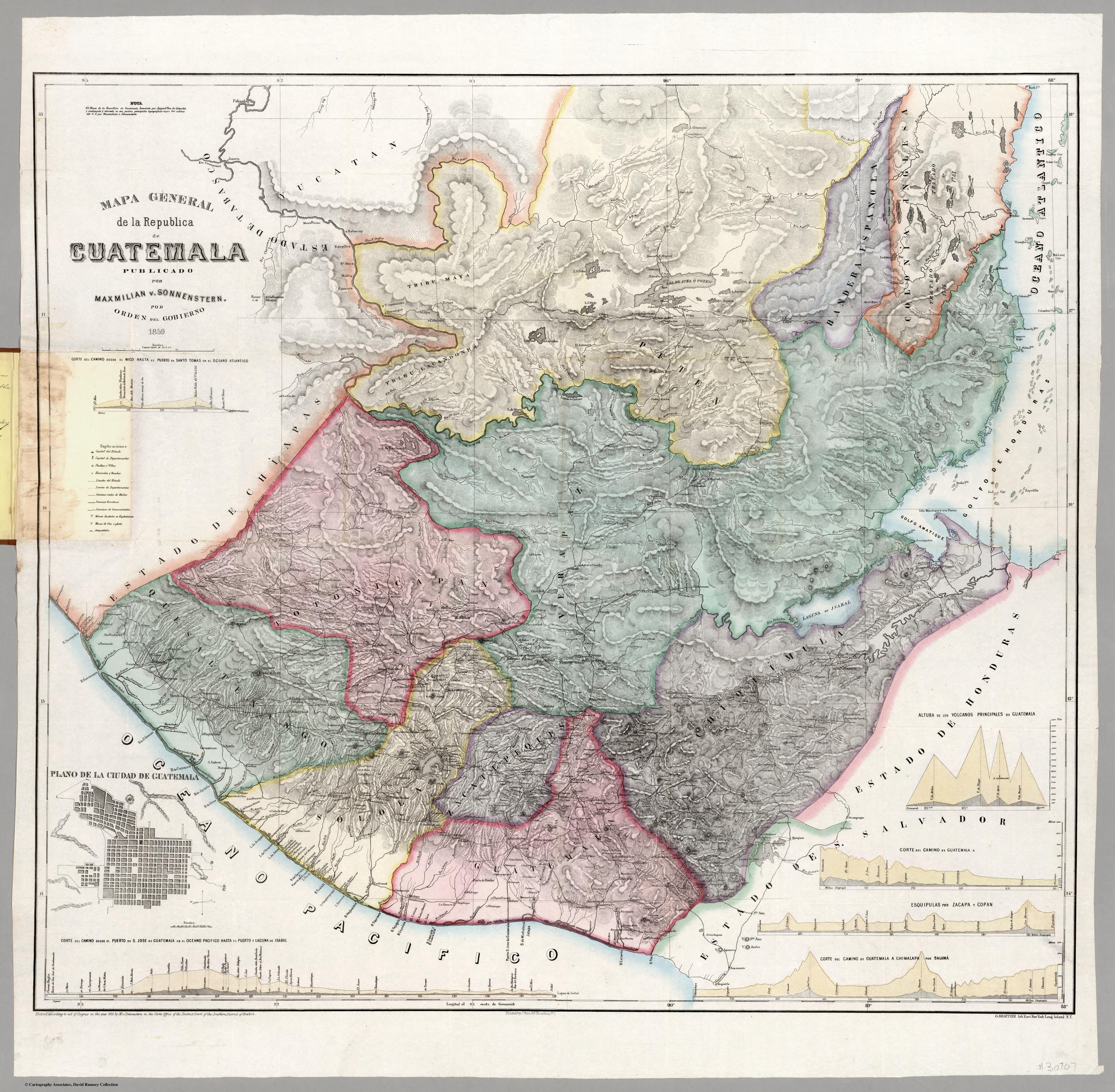
Dispossesions in the Americas

Dispossesions in the Americas

  • Lar
  • Explorar
  • Autores
  • Sobre
  • Arte
  • Corpos
  • Currículos
  • Patrimônio Cultural
  • Mapas
  • Territórios
Voltar à seção Explorar

Lendo em Inglês

Mapa 1800

Mapa general de la Republica de Guatemala. Publicado por Maximilian v. Sonnenstern por orden del gobierno, 1859. Printed by J. Rau, 33 Broadway, NY. G Kraetzer lith, East New York Long Island, N.Y. "Entered according to act of Congress in the year 1859 by M.v Sonnenster...New York. (insets) Plando de la Ciudad de Guatemala;and 6 releif profiles.

  • MAXIMILIAN VON SONNERSTERN

Publicado: 1859

  • Baixar Imagem
  • Baixar Imagem

Lendo em Espanhol

Mapa 1800

Mapa general de la Republica de Guatemala. Publicado por Maximilian v. Sonnenstern por orden del gobierno, 1859. Printed by J. Rau, 33 Broadway, NY. G Kraetzer lith, East New York Long Island, N.Y. "Entered according to act of Congress in the year 1859 by M.v Sonnenster...New York. (insets) Plando de la Ciudad de Guatemala;and 6 releif profiles.

  • MAXIMILIAN VON SONNERSTERN

Publicado: 1859

  • Baixar Imagem
  • Baixar Imagem
Mapa 1800

Mapa general de la Republica de Guatemala. Publicado por Maximilian v. Sonnenstern por orden del gobierno, 1859. Printed by J. Rau, 33 Broadway, NY. G Kraetzer lith, East New York Long Island, N.Y. "Entered according to act of Congress in the year 1859 by M.v Sonnenster...New York. (insets) Plando de la Ciudad de Guatemala;and 6 releif profiles.

  • MAXIMILIAN VON SONNERSTERN

Publicado: 1859

  • Baixar Imagem

Povos

  • MAYA
  • LACANDONES

Citação

Sonnestern, Maximilian von. Mapa general de la Republica de Guatemala. Published by J. Rau, New York, New York. 1859. Accessed June 19 2023. https://www.davidrumsey.com/luna/servlet/detail/RUMSEY~8~1~240027~5512131:Mapa-general-de-la-Republica-de-Gua?sort=Pub_List_No_InitialSort%2CPub_Date%2CPub_List_No%2CSeries_No&qvq=q:Guatemala;sort:Pub_List_No_InitialSort%2CPub_Date%2CPub_List_No%2CSeries_No;lc:RUMSEY~8~1&mi=9&trs=179#

  • Baixar Imagem

Itens Relacionados

FRAGMENTO HUMBOLDT 2

FRAGMENTO HUMBOLDT 2

Mapa 1500 - 1599
Popoloca Towns

Popoloca Towns

Mapa 1950
REGIÓN HUICOT O GRAN NAYAR

REGIÓN HUICOT O GRAN NAYAR

Mapa 2000
CARTE ITINÉRAIRE DU COURS DE L’ORÉNOQUE;DE L’ATABAPO;DU CASIQUIARE;ET DU RIO NEGRO OFFRANT la bifurcation de l’Orénoque et sa communication avec la Rivière des Amazones

CARTE ITINÉRAIRE DU COURS DE L’ORÉNOQUE;DE L’ATABAPO;DU CASIQUIARE;ET DU RIO NEGRO OFFRANT la bifurcation de l’Orénoque et sa communication avec la Rivière des Amazones

Mapa 1802
Carte de la Guyana pour servir à l'Histoire Generale des Voyages.

Carte de la Guyana pour servir à l'Histoire Generale des Voyages.

Mapa 1757
REGIÓN HUASTECA

REGIÓN HUASTECA

Mapa 2000
Localización Territorial de los Collas Hacia Fines del Siglo XIX y Principios de Siglo XX."

Localización Territorial de los Collas Hacia Fines del Siglo XIX y Principios de Siglo XX."

Mapa 1800 - 1900
LOCALIZACIÓN DE LOS PRINCIPALES ASENTAMIENTOS TICUNAS

LOCALIZACIÓN DE LOS PRINCIPALES ASENTAMIENTOS TICUNAS

Mapa 2000

Despossessões nas Américas

Um projeto de

University of Pennsylvania

Copyright 2024

Com o apoio de

Mellon Foundation

Projeto e desenvolvimento do site

Element 84

Créditos da arte

Sonnestern, Maximilian von. Mapa general de la Republica de Guatemala. Published by J. Rau, New York, New York. 1859. Accessed June 19 2023. https://www.davidrumsey.com/luna/servlet/detail/RUMSEY~8~1~240027~5512131:Mapa-general-de-la-Republica-de-Gua?sort=Pub_List_No_InitialSort%2CPub_Date%2CPub_List_No%2CSeries_No&qvq=q:Guatemala;sort:Pub_List_No_InitialSort%2CPub_Date%2CPub_List_No%2CSeries_No;lc:RUMSEY~8~1&mi=9&trs=179#

Páginas do site

  • Lar
  • Explorar
  • Autores
  • Sobre
  • Arte
  • Corpos
  • Currículos
  • Patrimônio Cultural
  • Mapas
  • Territórios