Povos
- ACOQUAS
- COUSSARI
- ITOUTANES
- MAYAKAT
- PALICOURS
Citação
Carte de la Guyane Française et l'Isle de Cayenne. The JCB Library. Accessed, August 15, 2023. https://jcb.lunaimaging.com/luna/servlet/detail/JCBMAPS~1~1~1825~104810005
Map of Honduras and San Salvador, Central America, Showing the line of the proposed Honduras Interoceanic Railway
Mapa 1854
A chart of the English trading part of the bay of Honduras
Mapa 1791
DISTRIBUCION DE GRUPOS CON LENGUAS CHIBCHAS
Mapa 2019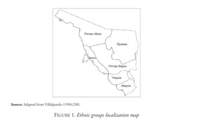
Ethnic Groups Localization Map
Mapa 2014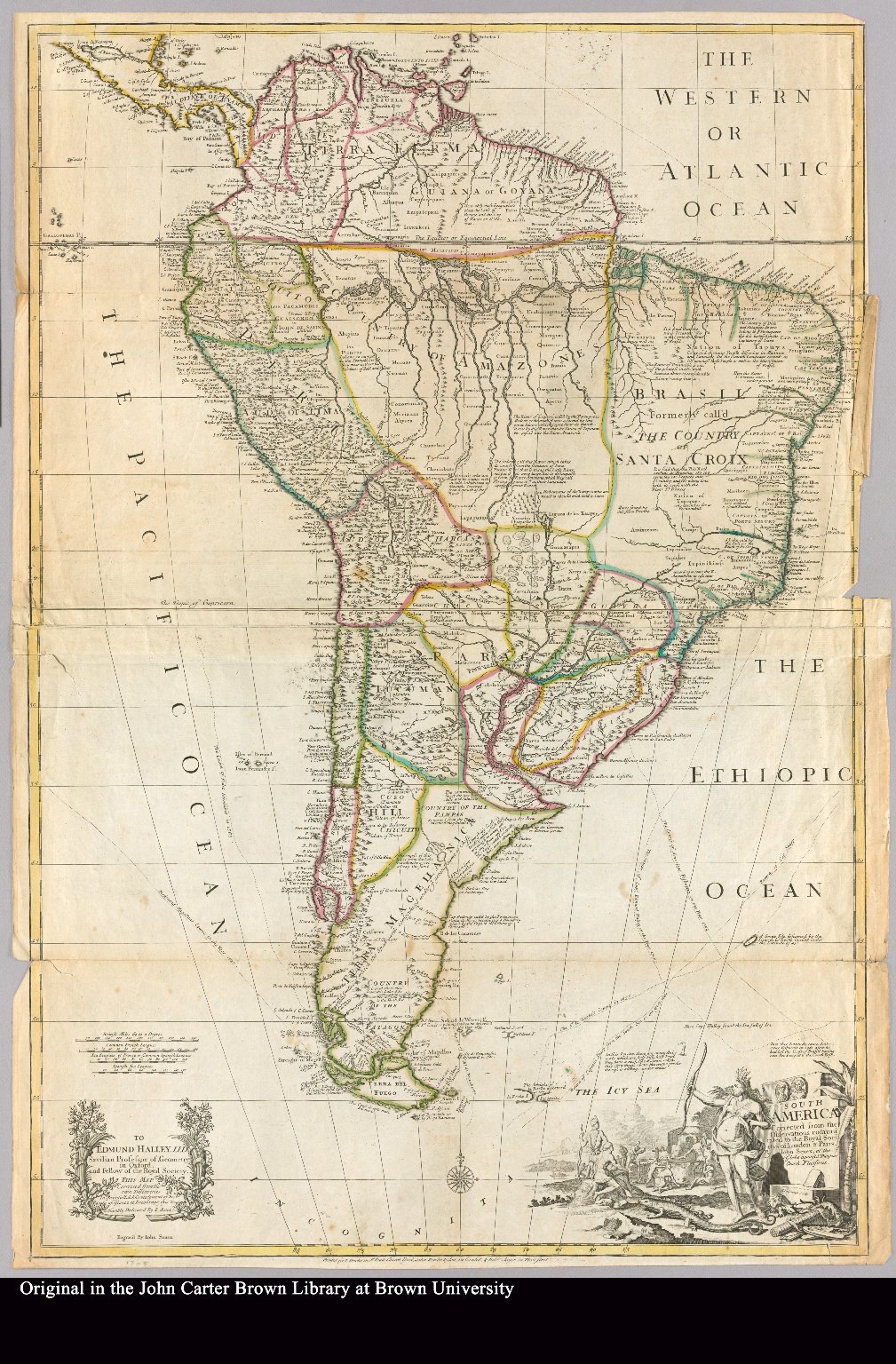
South America corrected from the observation communicated to the Royal Society"s of London & Paris by John Senex, at the Globe against St. Dunstans Church Fleetstreet.
Mapa 1755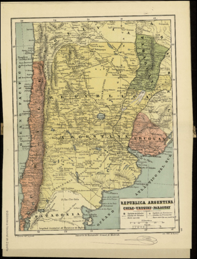
REPUBLICA ARGENTINA CHILE-URUGUAY-PARAGUAY
Mapa 1884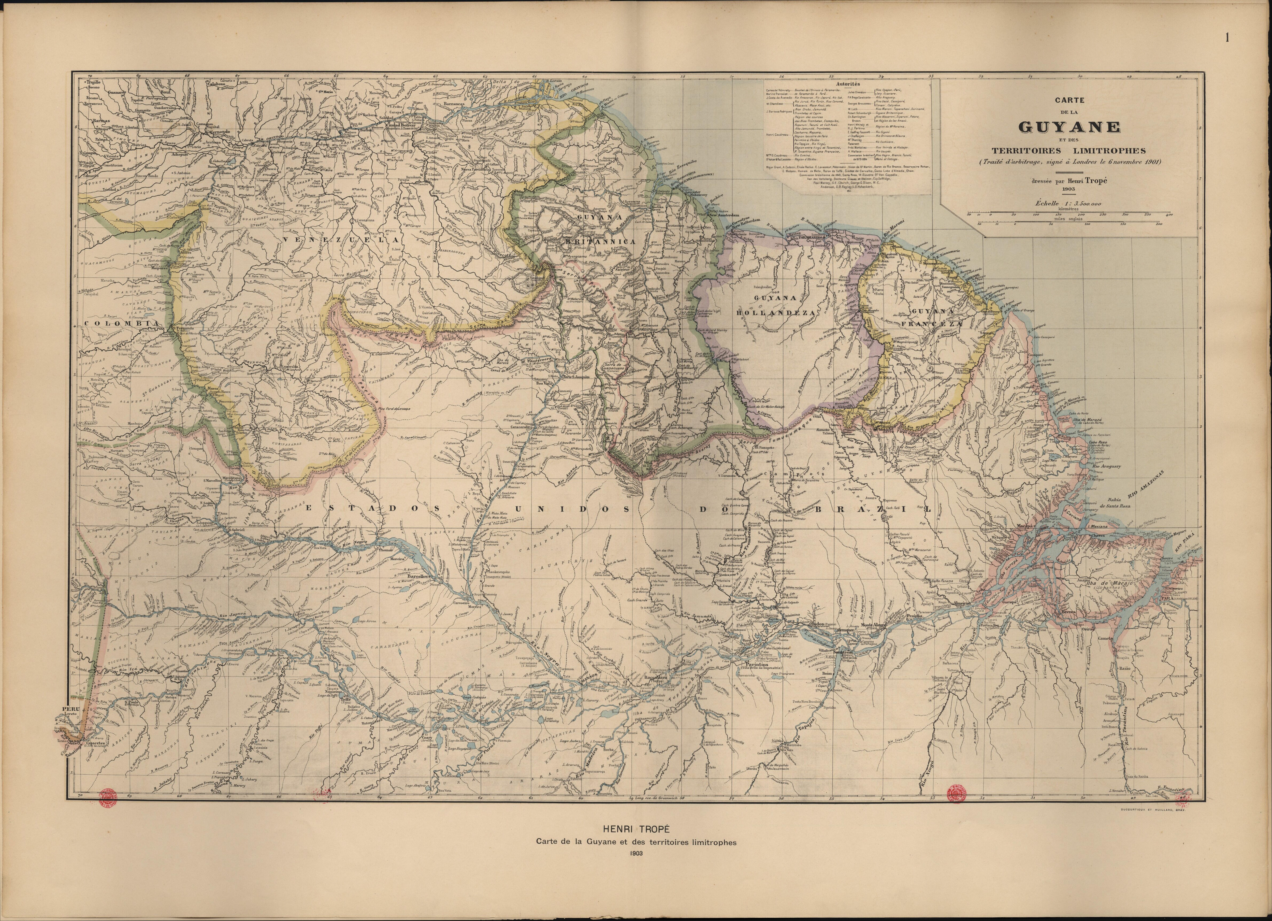
Carte de la Guyane et des territoires limitrophes (Traité d'arbitrage, signé à Londres le 6 novembre 1901)
Mapa 1900 - 1999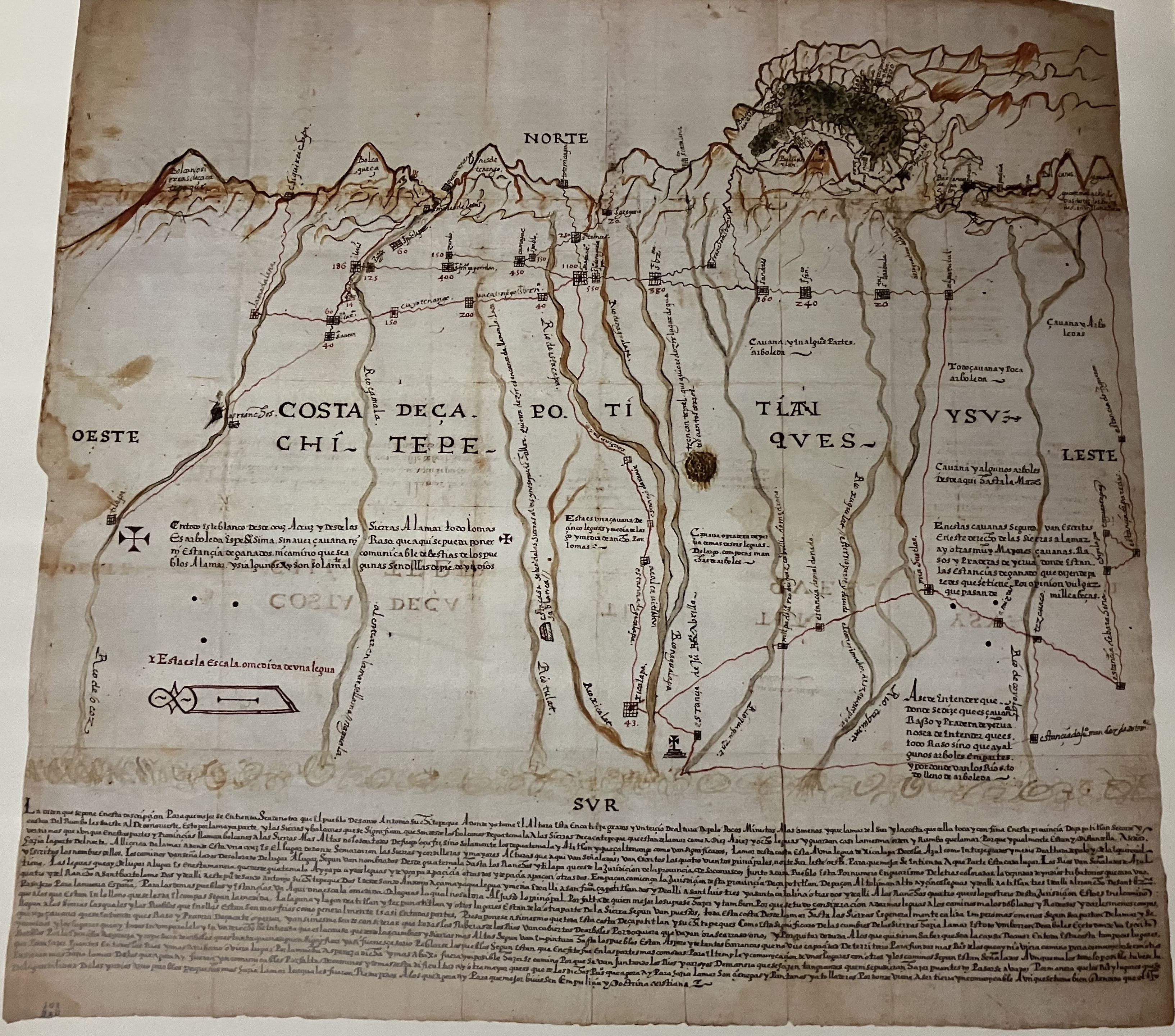
Relación Geográfica de Zapotitlán
Mapa 1579