Povos
- CHIQUITOS
- GUAYCURUS
- MOCOBIOS
- ABIPONES
- CHIRIGUANO
- TOBAS
Citação
Library of Congress Geography and Map Division, G5202.R5 1856 .P3 https://hdl.loc.gov/loc.gmd/g5202r.fi000158
Mapa Etno-Histórico do Brasil e Regiões Adjacentes - Adaptado do Mapa de Curt Nimuendajú 1944.
Mapa 1400 - 1944
TABULA geographica del rio Maranon o Amazonas
Mapa 1690
AMERICA MERIDIONIALE
Mapa 1770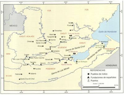
Principales poblados de la Verapaz y localización de los idomas d ela zona, siglo XVI.
Mapa 1600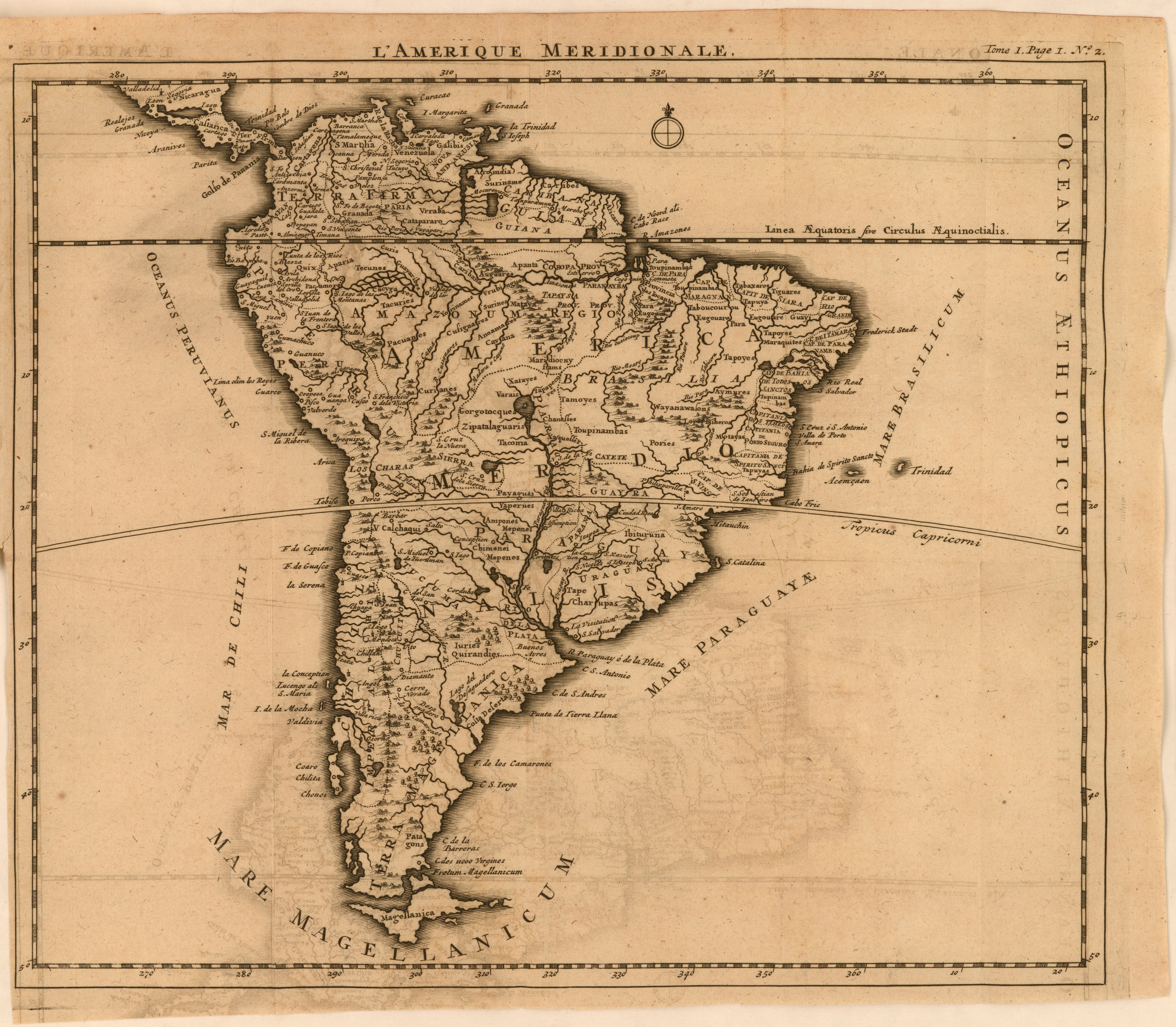
L'Amerique meridionale
Mapa 1650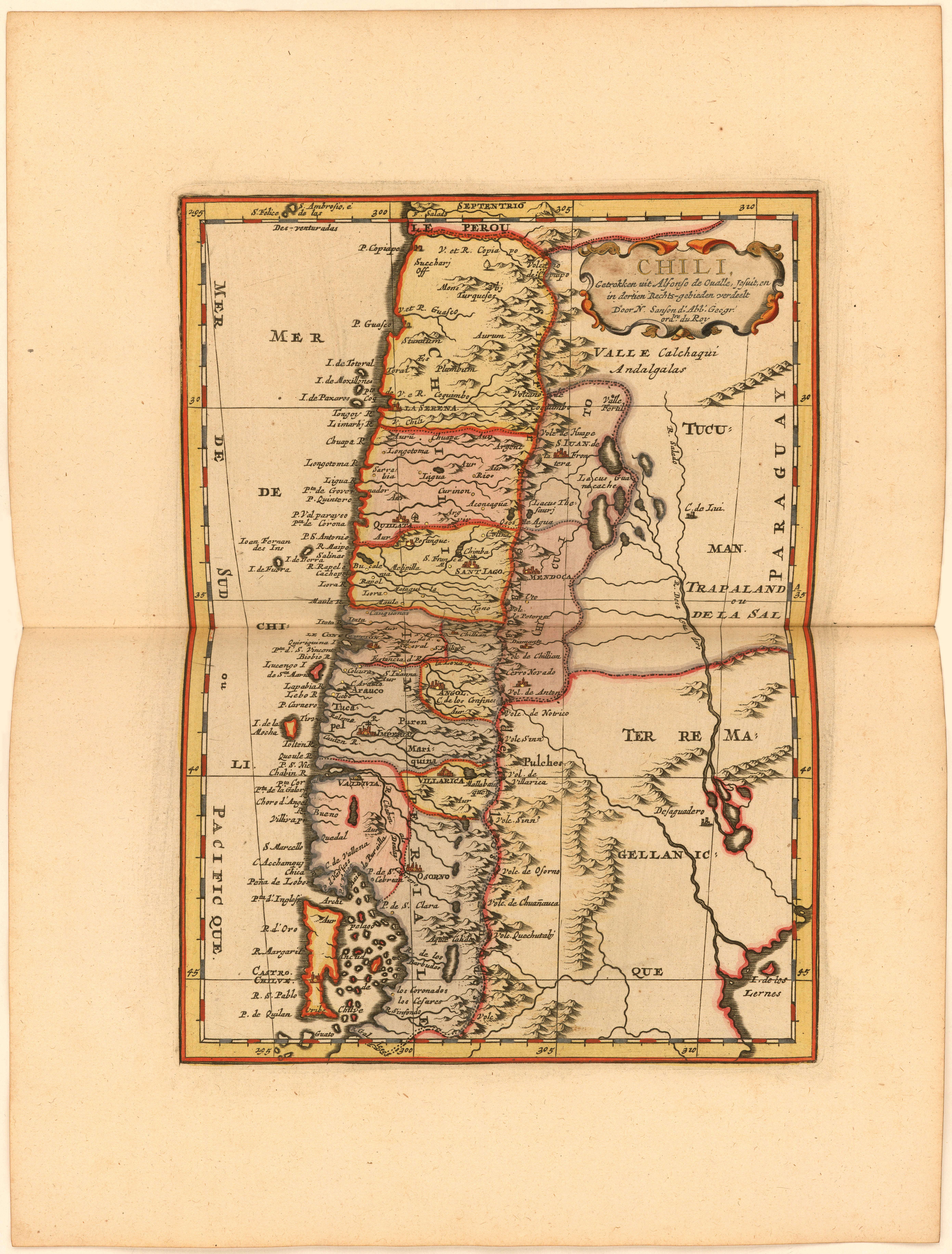
Chili, Getrokken uit Alfonso de Ovalle, Jesuit, en in dertien Rechts-gebieden verdeelt Door N. Sanson d.'Abb. Geogr. ordre. du Roy
Mapa 1600 - 1667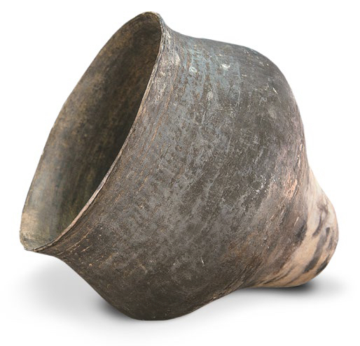
AM, Brasil - Pote
Obra de arte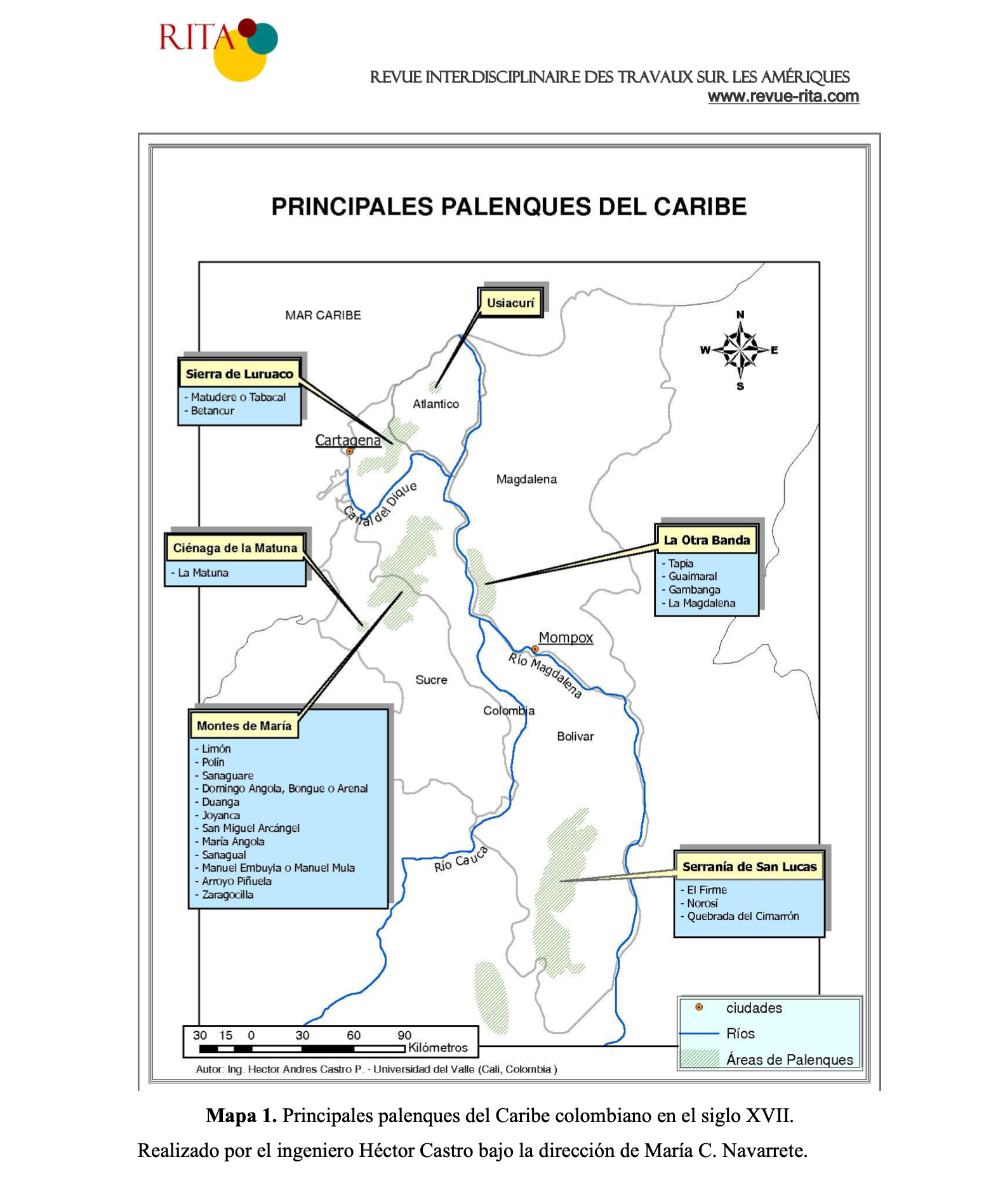
PRINCIPALES PALENQUES DEL CARIBE
Mapa 1600 - 1699