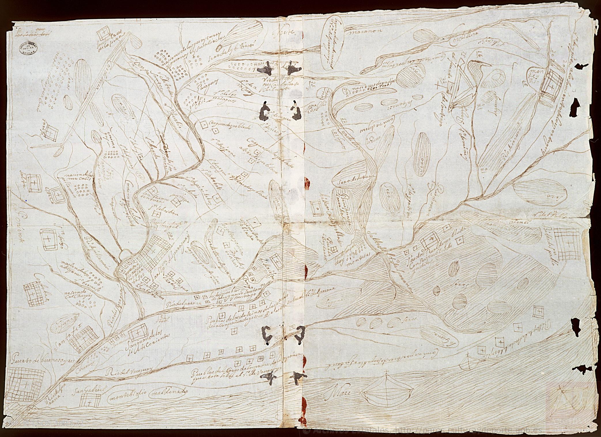
Povos
- CHARRUAS
- ENIMAGA
- CHICAS
- PAIAGUOS
- MOCOBIL
- ABIPONES
- CALCHAGUY
Citação
Consejo de Indias. "Mapa del Río de la Plata y de sus afluentes". Map. Sevilla, 1688. Accessed July 22, 2022. http://pares.mcu.es/ParesBusquedas20/catalogo/description/16810.
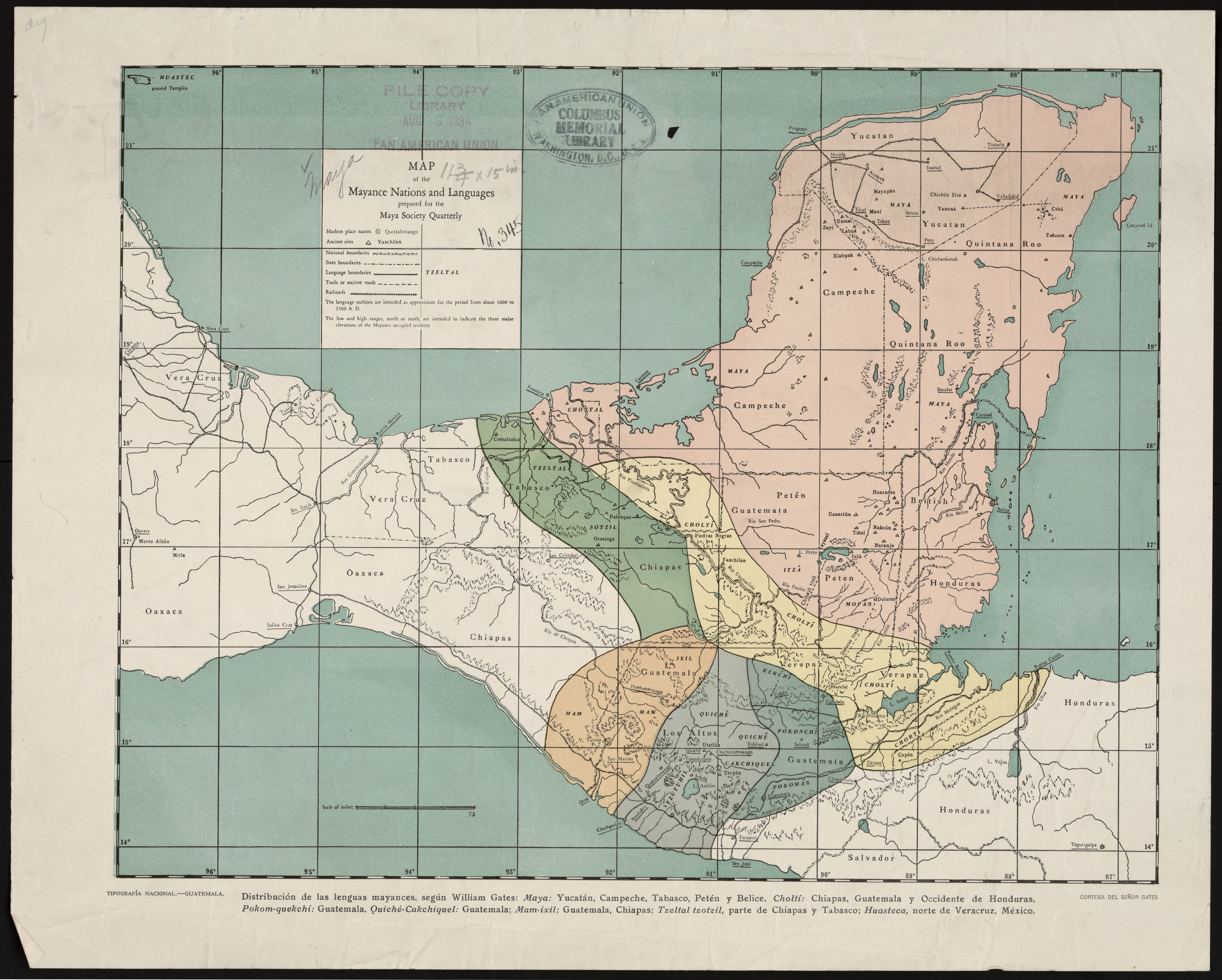
Map of the Mayance Nations and Languages
Mapa 1000 - 1500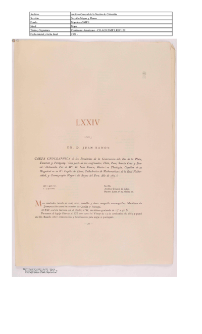
Carta geographica de las provincias de la governacion del rio de la plata y confinantes.
Mapa 1863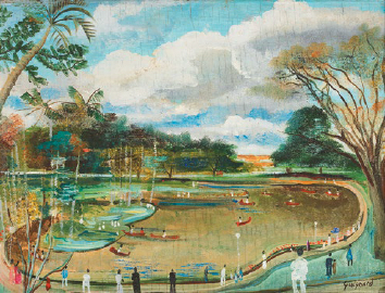
O Parque Municipal
Obra de arte
Conversion of Ejidos into Private Property, Sajcabaja and Jocotenango, Guatemala, Late 18th Century through 19th Century
Mapa 1700 - 1800
Sketch of the country from reduction to Buenos Ayres, shewing the movements of B. Genl. Beresford, when he captured that place June 1806. Drawn from memorandums furnished by Capt: Donnelly
Mapa 1806
TABULA geographica del rio Maranon o Amazonas
Mapa 1690
Lienzo de Quauhquechollan
Mapa 1527 - 1529
LOCALIZACIÓN GEOGRÁFICA DE BORAS Y MIRAÑAS
Mapa