Povos
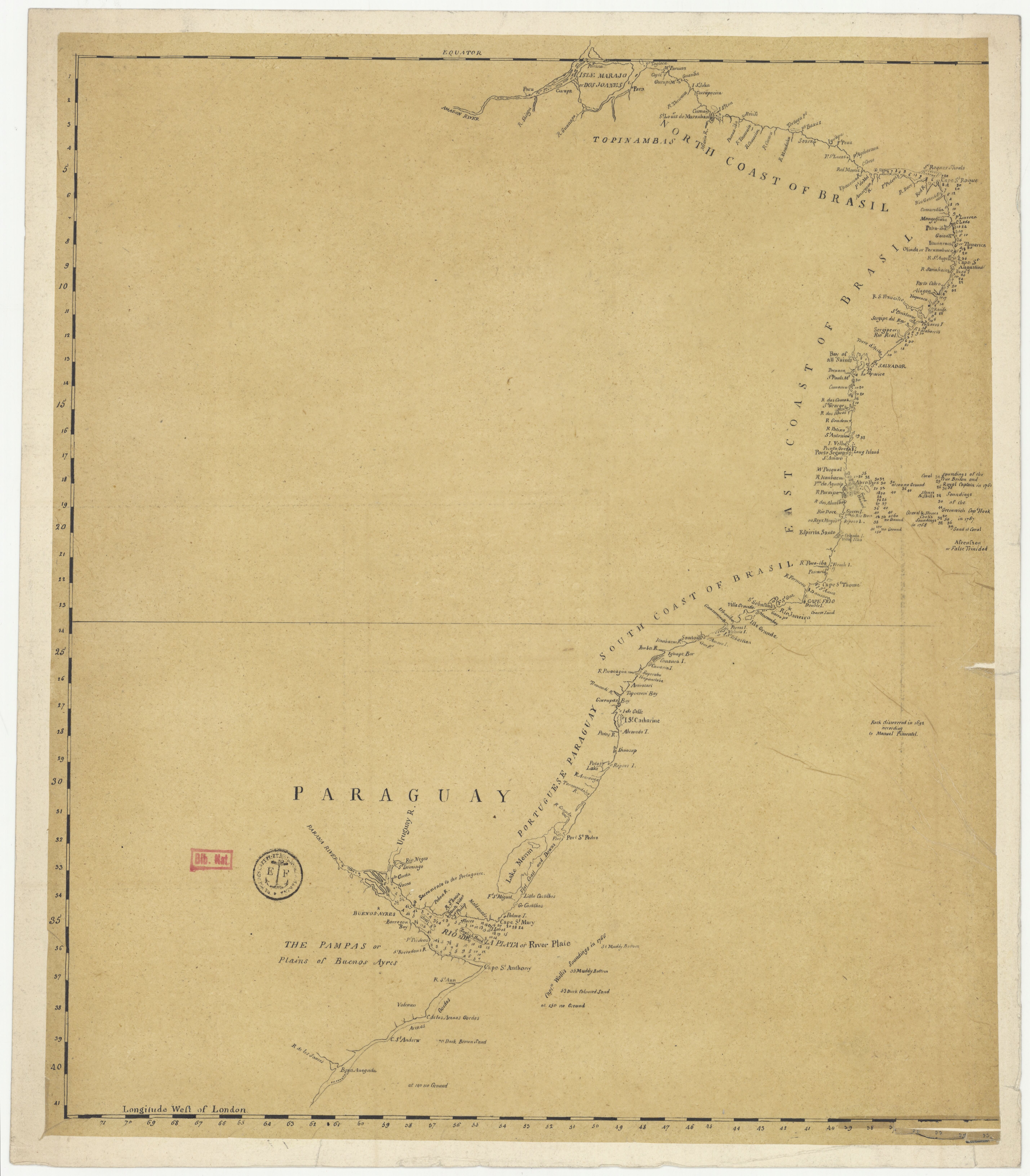
- TOPINAMBAS
Citação
"Carte anglaise des côtes du Brésil." Map. 1768. Accessed August 2, 2023. https://gallica.bnf.fr/ark:/12148/btv1b53121753h/f1.item.
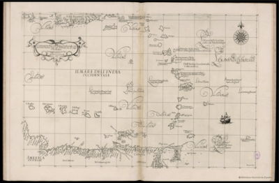
Carta particolare dell'India Ocidentale;con la terra ferma dal' capo di Paria sin al' capo S. Romano
Mapa 1661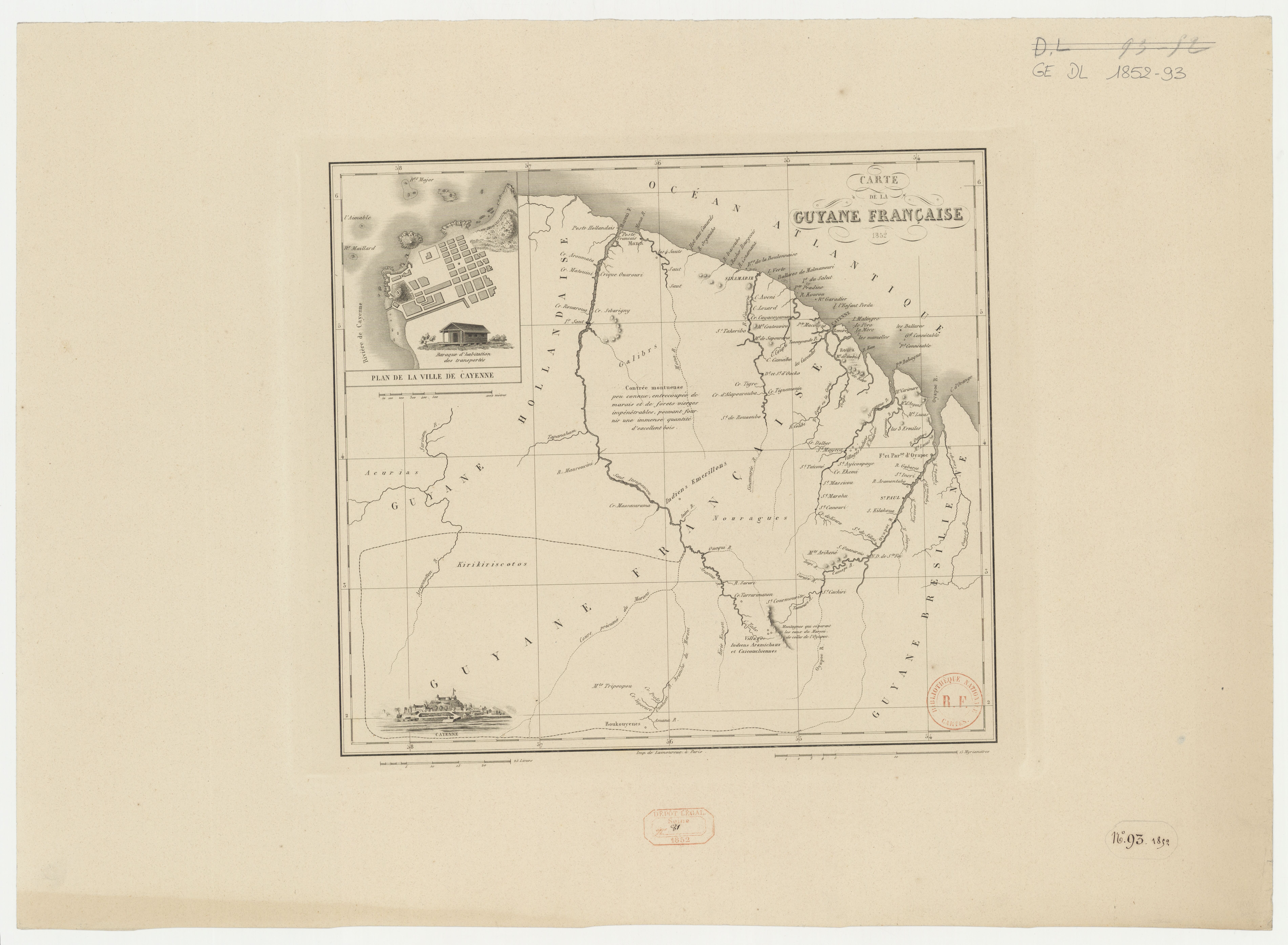
Carte de la Guyane française
Mapa 1852![La madre sin cabeza [A mãe sem cabeça]](https://dnet8ble6lm7w.cloudfront.net/art/APER017.jpg)
La madre sin cabeza [A mãe sem cabeça]
Obra de arte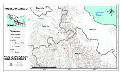
PUEBLO IXCATECO
Mapa 2020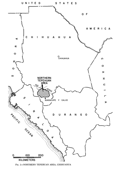
Northern Tepehuan Area, Chihuahua
Mapa 1969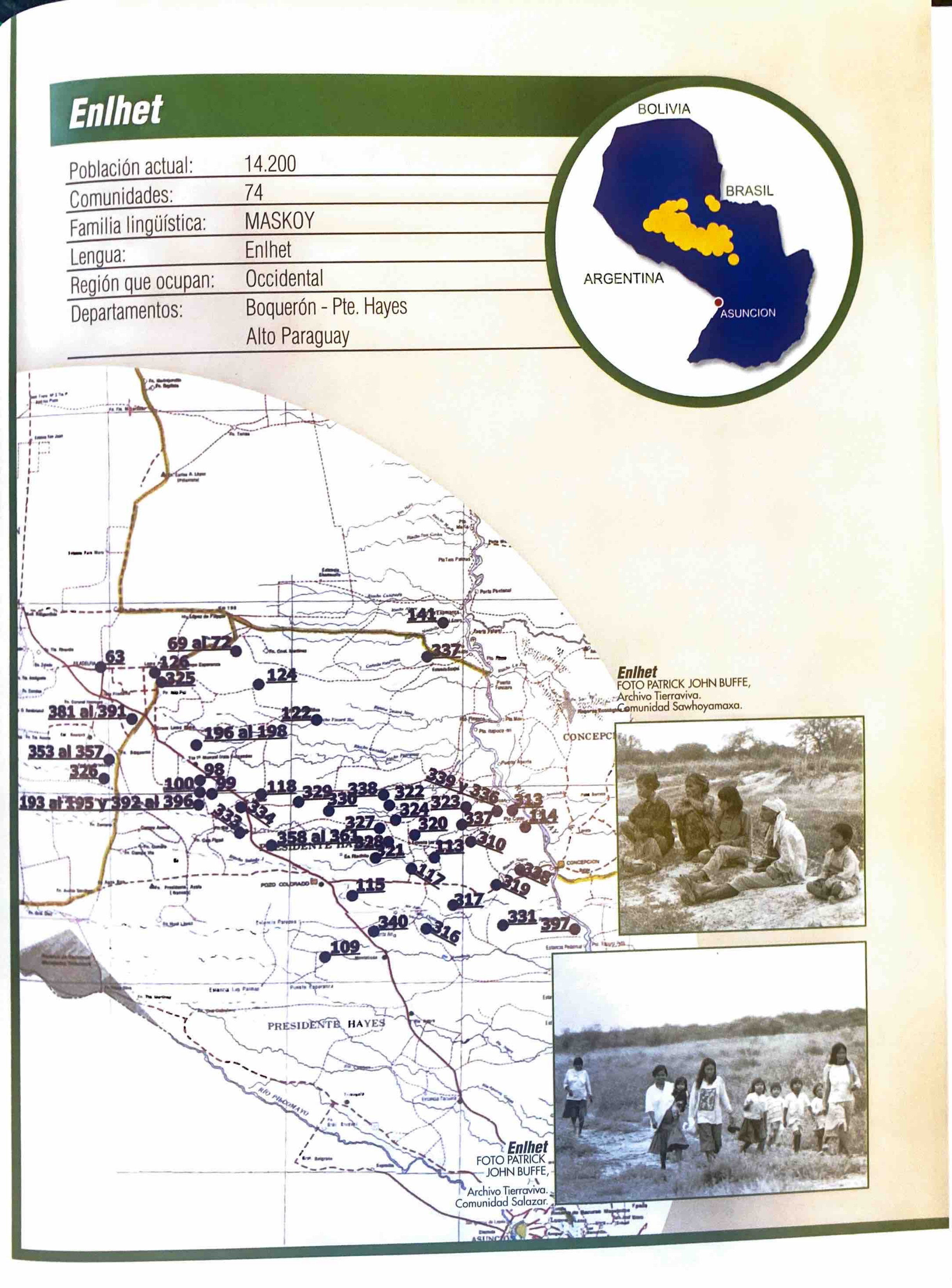
Enlhet
Mapa 2001
Government map of Nicaragua : from the latest surveys ordered by President Patricio Rivas and Genl. William Walker ;executed under the supervision of the Señor Fermín Ferrer;Governor of the Western Department;1856
Mapa 1800 - 1856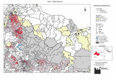
REGIÓN CHINANTECA
Mapa 2000