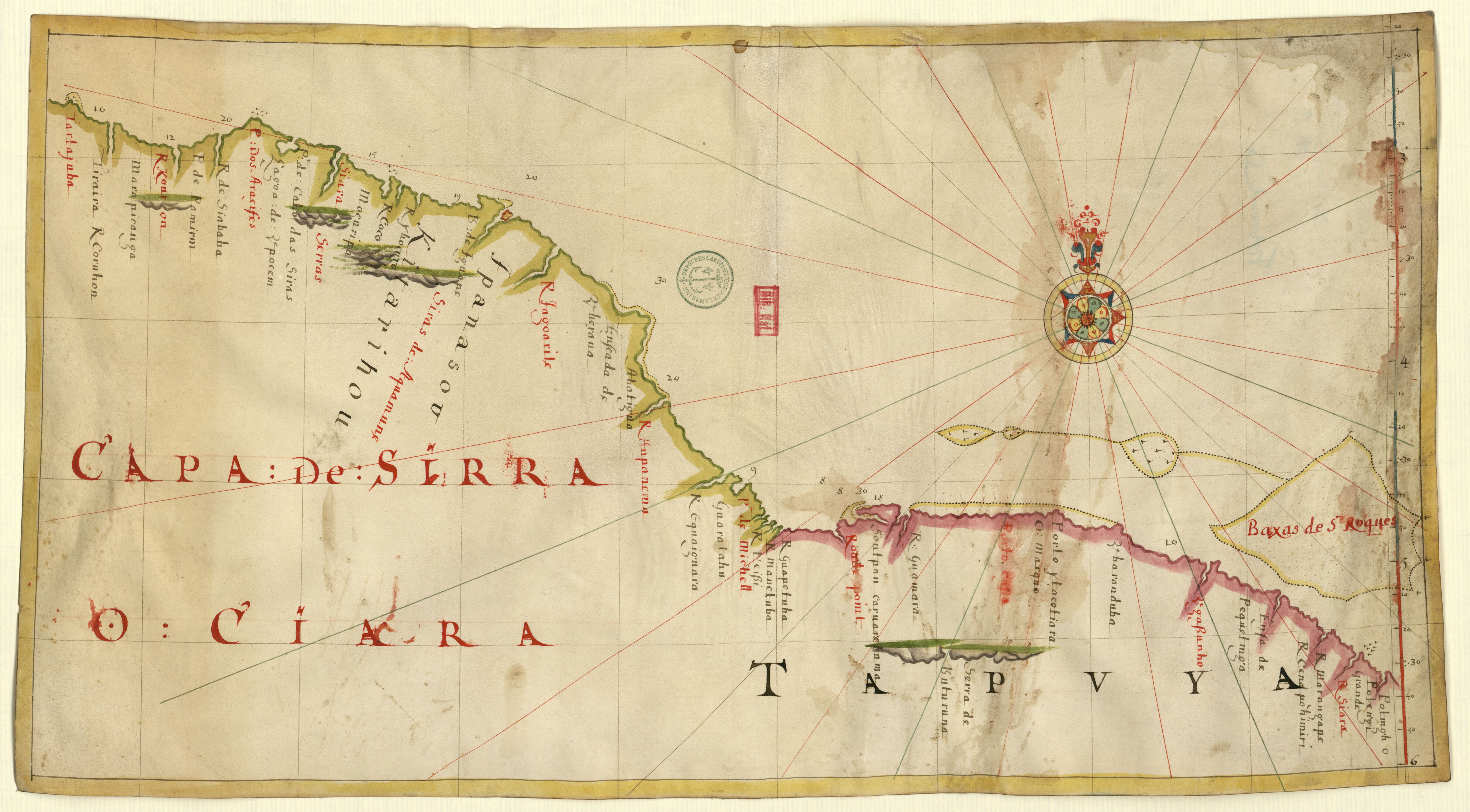
Povos
- FPANASOU
- KITARIHOU
- TAPUYA
Citação
"Carte anglaise de la côte Nord du Brésil." Map. Accessed July 28, 2023. https://gallica.bnf.fr/ark:/12148/btv1b5905653d/f1.item.
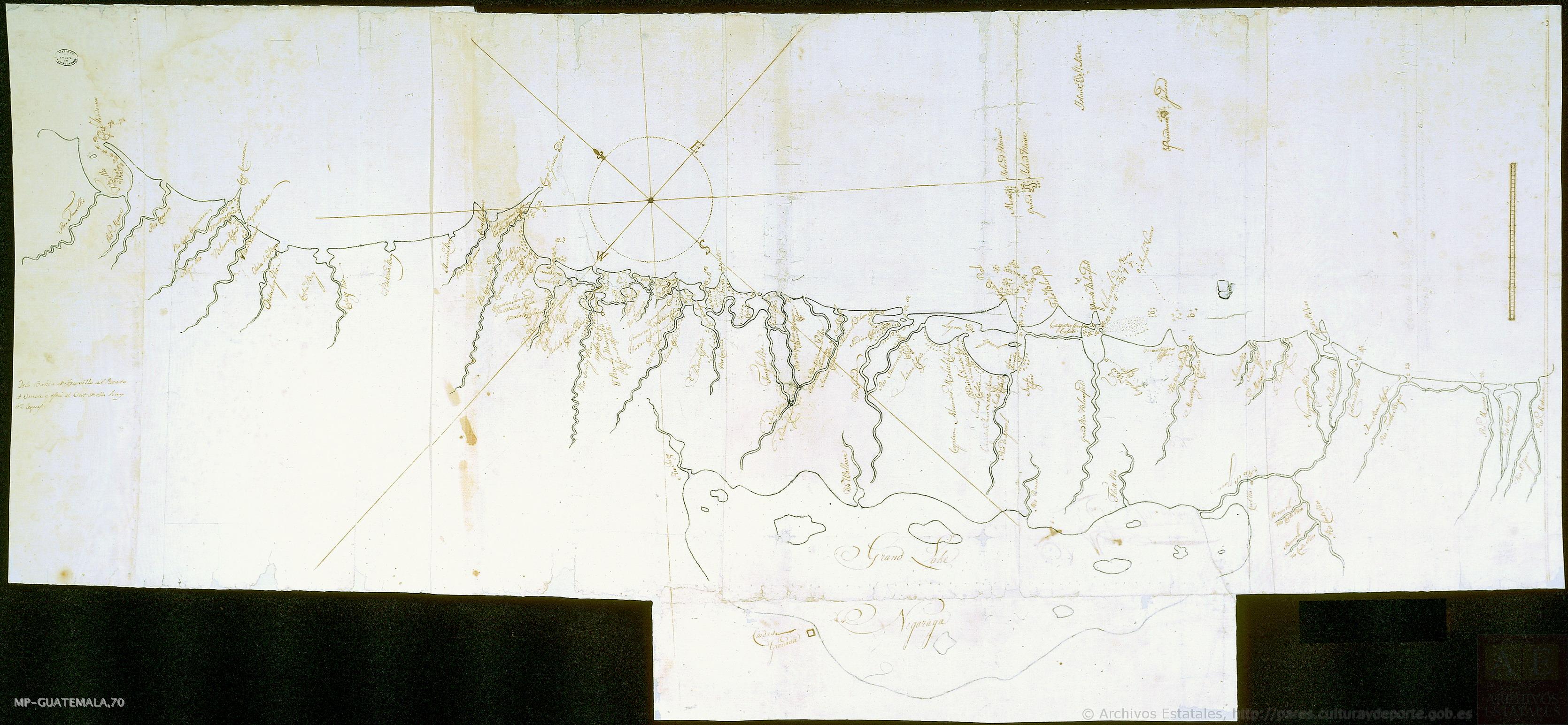
Mapa de costa comprendida entre Trujillo (Honduras) y la desembocadura del río de Matina.
Mapa 1768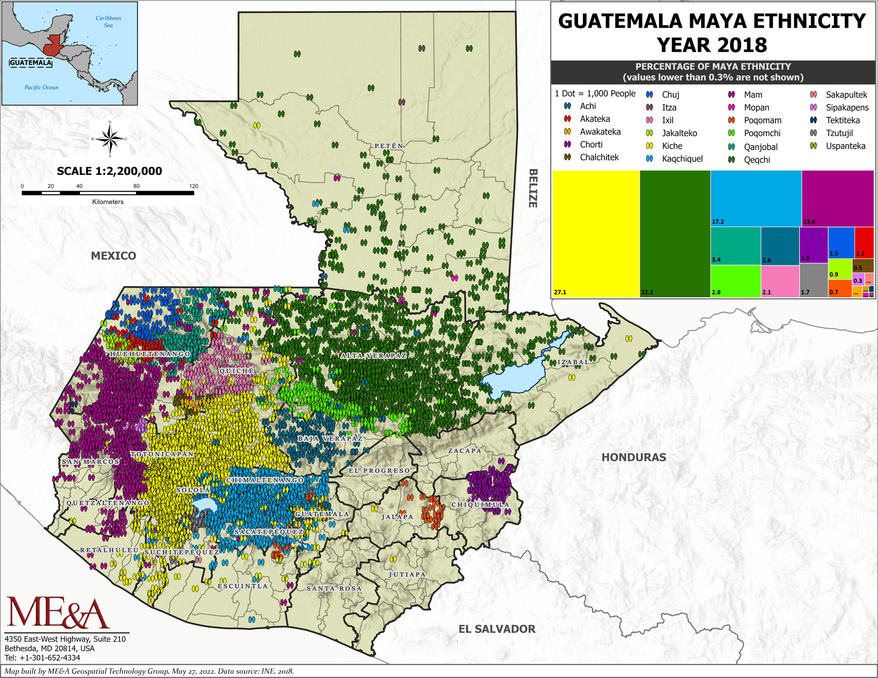
Guatemala Maya Ethnicity Year 2018
Mapa 2000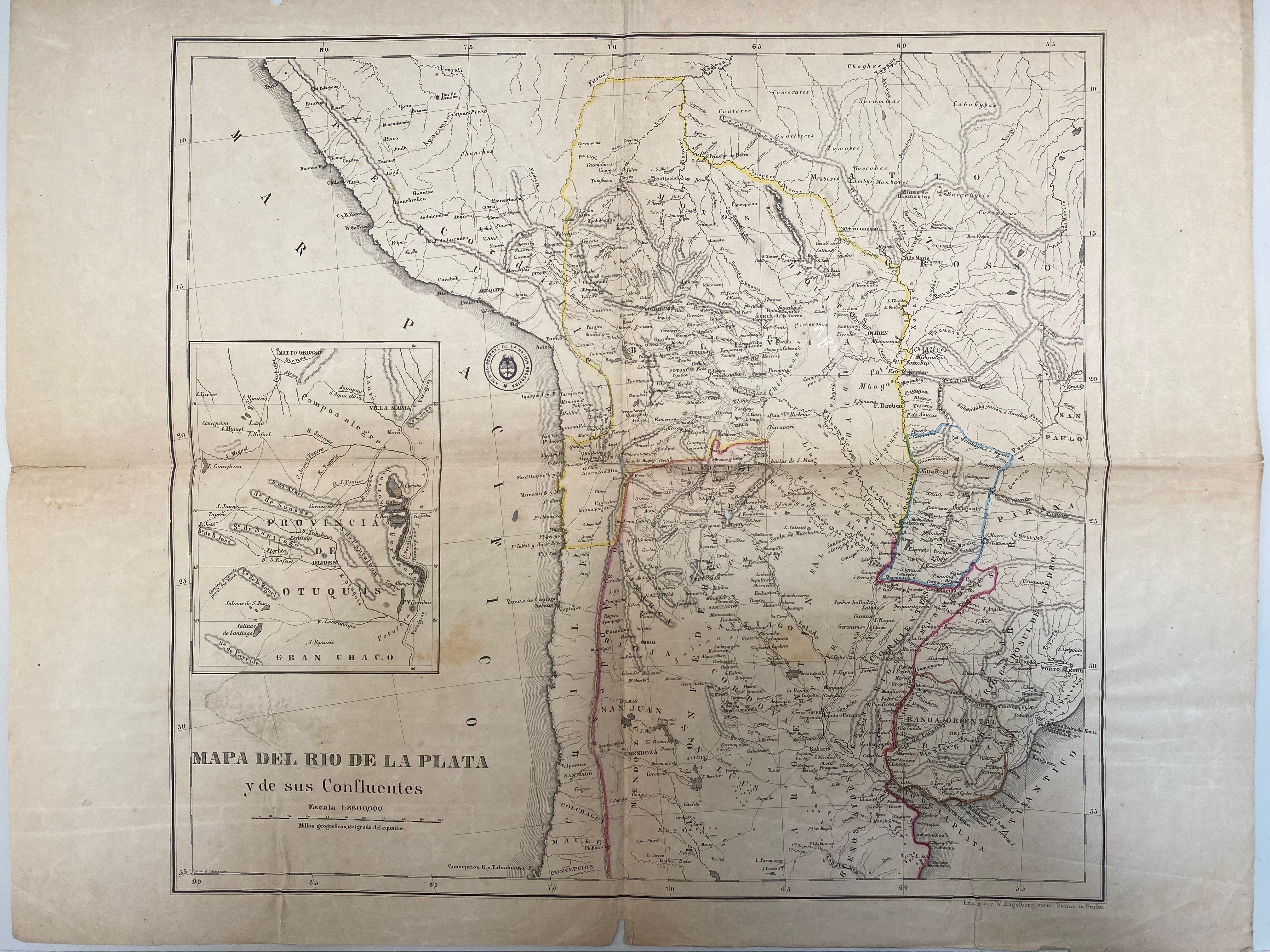
A New Map of Part /of the Great River / De la Plata, /of Tucuman / and the adjacent Countries, from Buenos Ayres to Potosí
Mapa 1716
ETATS-UNIS DU BRÉSIL: Carte politique
Mapa 1908
CARTE DE LA COSTE DEPUIS LA RIVIERE DES AMAZONES JUSQUES A L'ISLE DE CAYENNE
Mapa 1701
No Title
Mapa 1619
The tribes of southern South America, at the first European contact period
Mapa 1600 - 1799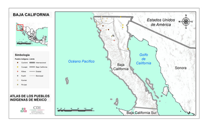
BAJA CALIFORNIA
Mapa 2015