
Citação
United States Department of Commerce, Transportation Department. 1920. "Railroad Map of British Honduras." https://hdl.loc.gov/loc.wdl/wdl.11329
![La madre del aguaje [A mãe do buriti]](https://dnet8ble6lm7w.cloudfront.net/art_sm/APER094.png)
La madre del aguaje [A mãe do buriti]
Obra de arte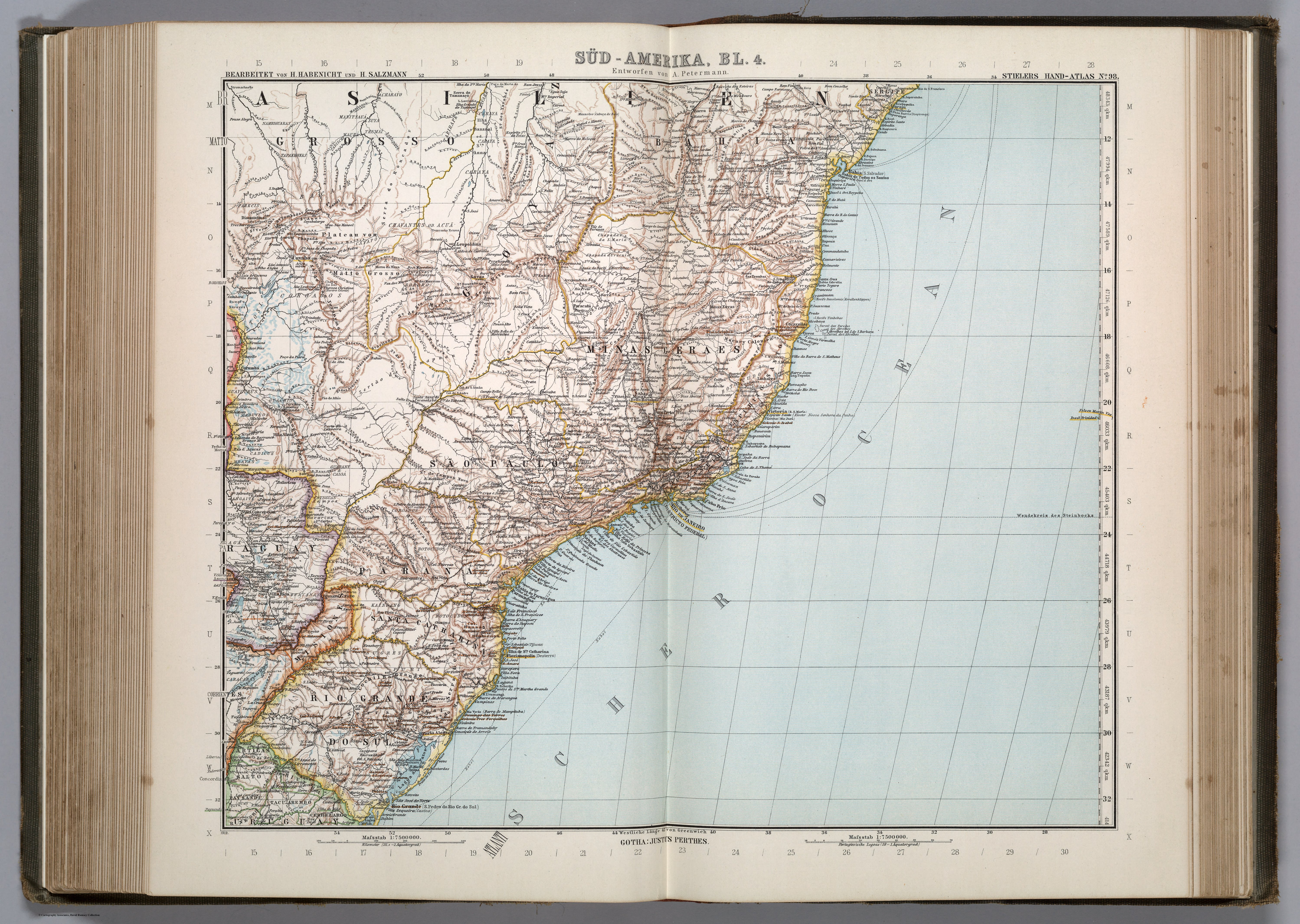
SÜD-AMERIKA, BL. 4
Mapa 1911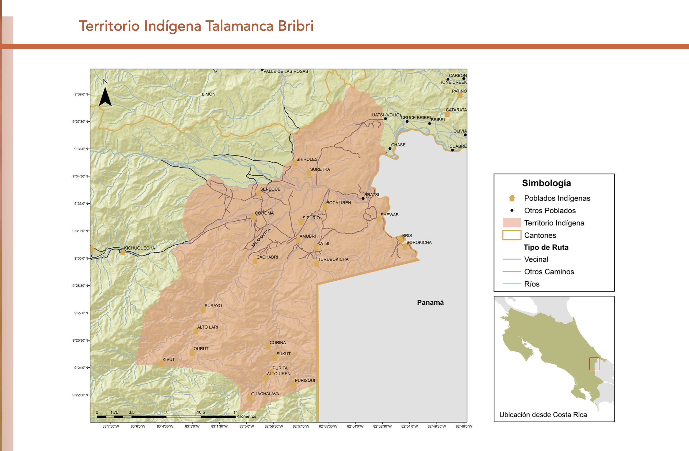
"Territorio Indígena Talamanca Bribri"
Mapa 2010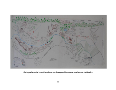
Cartografía social – confinamiento por la expansión minera en el sur de La Guajira
Mapa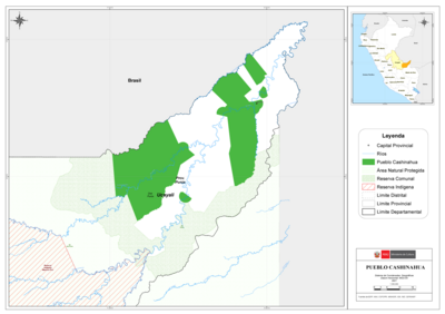
PUEBLO CASHINAHUA
Mapa 2021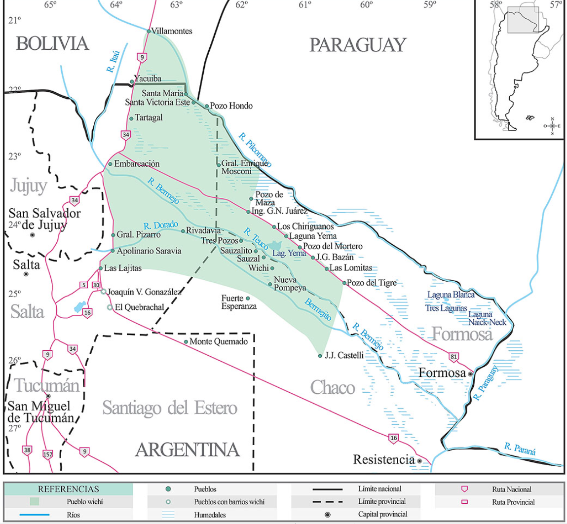
Lengua wichí. Dónde se habla
Mapa 2009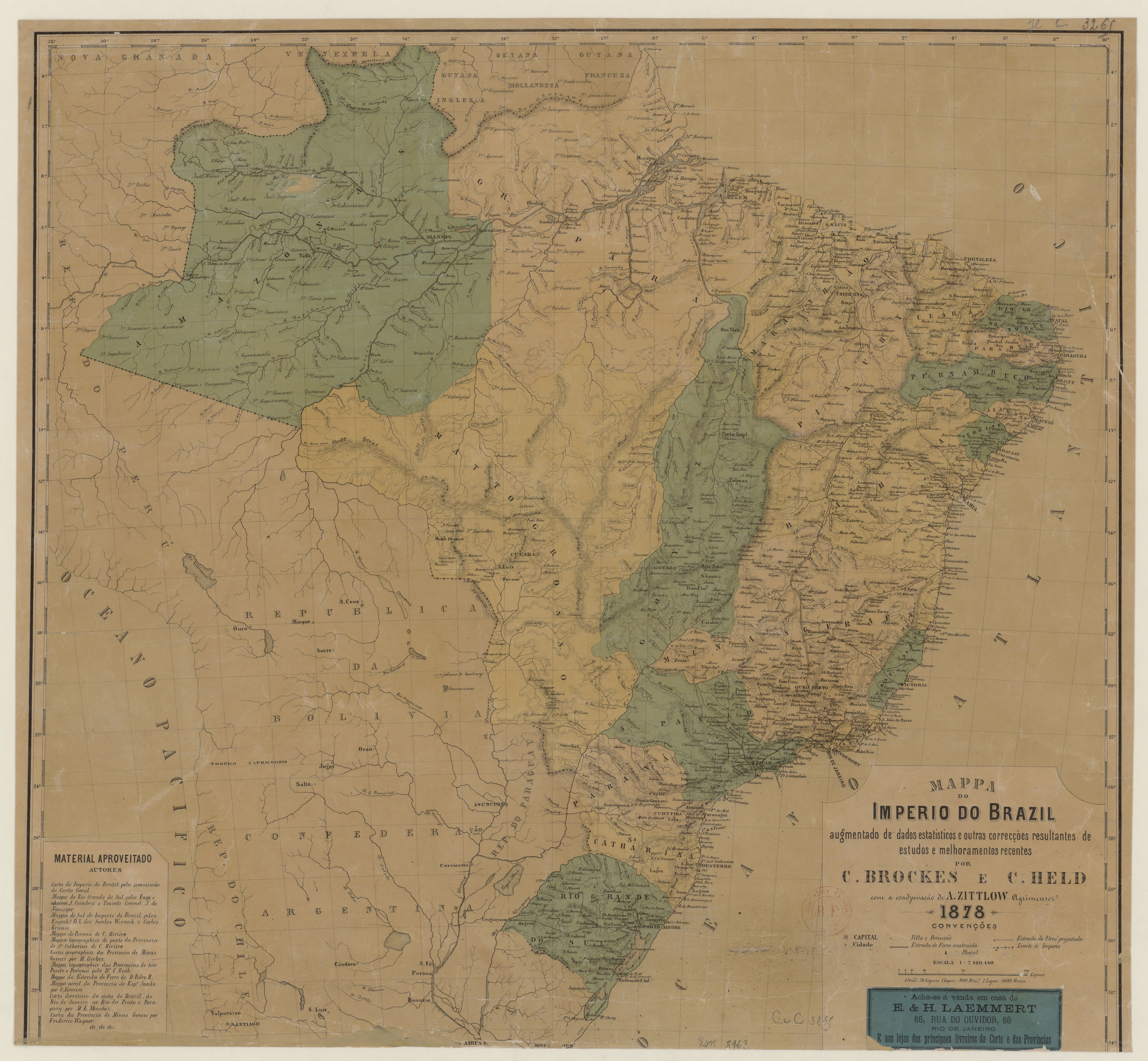
MAPPA DO IMPERIO DO BRAZIL
Mapa 1878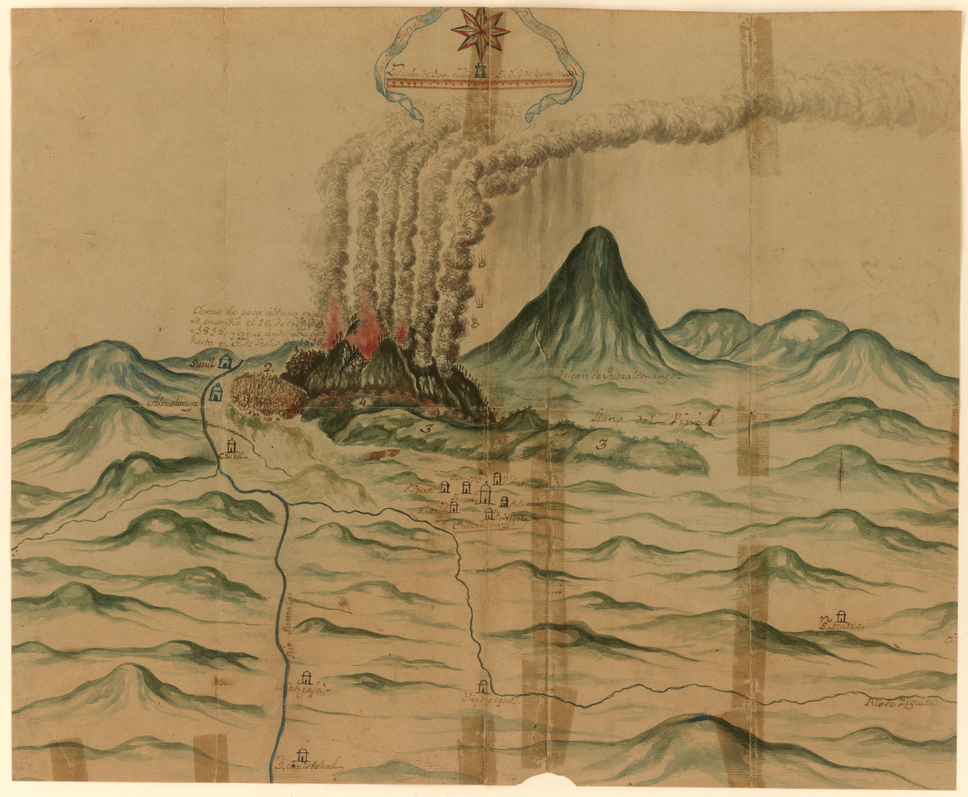
Plano de Quetzaltenango, Guatemala.
Mapa 1800