Povos
- POYAS
- PUELCHES
- PEGUENCHES
- AUCAES
- SERRANOS
- TOELCHES
- INDIOS DE A PIE
Citação
Biblioteca Nacional de España, Sala Goya - Cartografía, Call number: MR/42/362/1, Código de barras: 1002003350. http://bdh.bne.es/bnesearch/detalle/bdh0000032721
An exact draught of the river of Bellese as high as the Barcadares. A new draught of the bay of Honduras by Capt. Nathaniel Uring
Mapa 1726
Terra Indígena Guarani do Aguapeú
Mapa 2011
PIANO APPROSSIMATIVO DELL’ ALTO PARANA` da Tucurù-pucù alla gran cascata del Guaira
Mapa 1884![Sin título (Amante perfecto) [Sem título (Amante perfeito)]](https://dnet8ble6lm7w.cloudfront.net/art_sm/ACOL021.png)
Sin título (Amante perfecto) [Sem título (Amante perfeito)]
Obra de arte
A Sequel of the Seat of War in the West Indies containing… Sub-map title: A large & accurate MAP of part of the Isthmus of Panama, taken from a Spanish drought exhibiting the Country adjacent to that City and Puerto Bello, with the Roads and Course of the River CHAGRE, by which the Treasure of the South Sea is conveyed a cross the Isthmus
Mapa 1740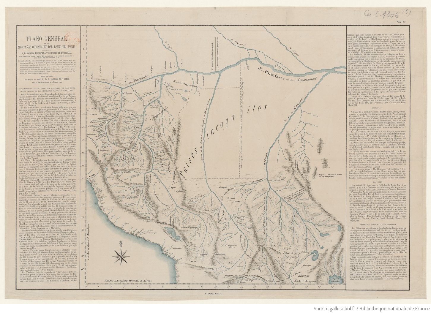
Plano general de las montañas orientales del Reino del Peru
Mapa 1795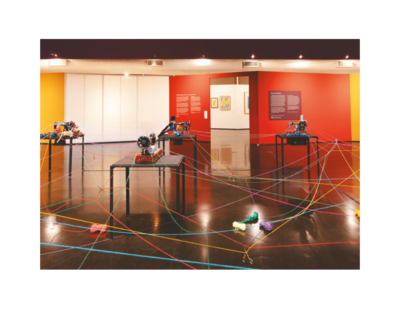
Sobre os vínculos invisíveis
Obra de arte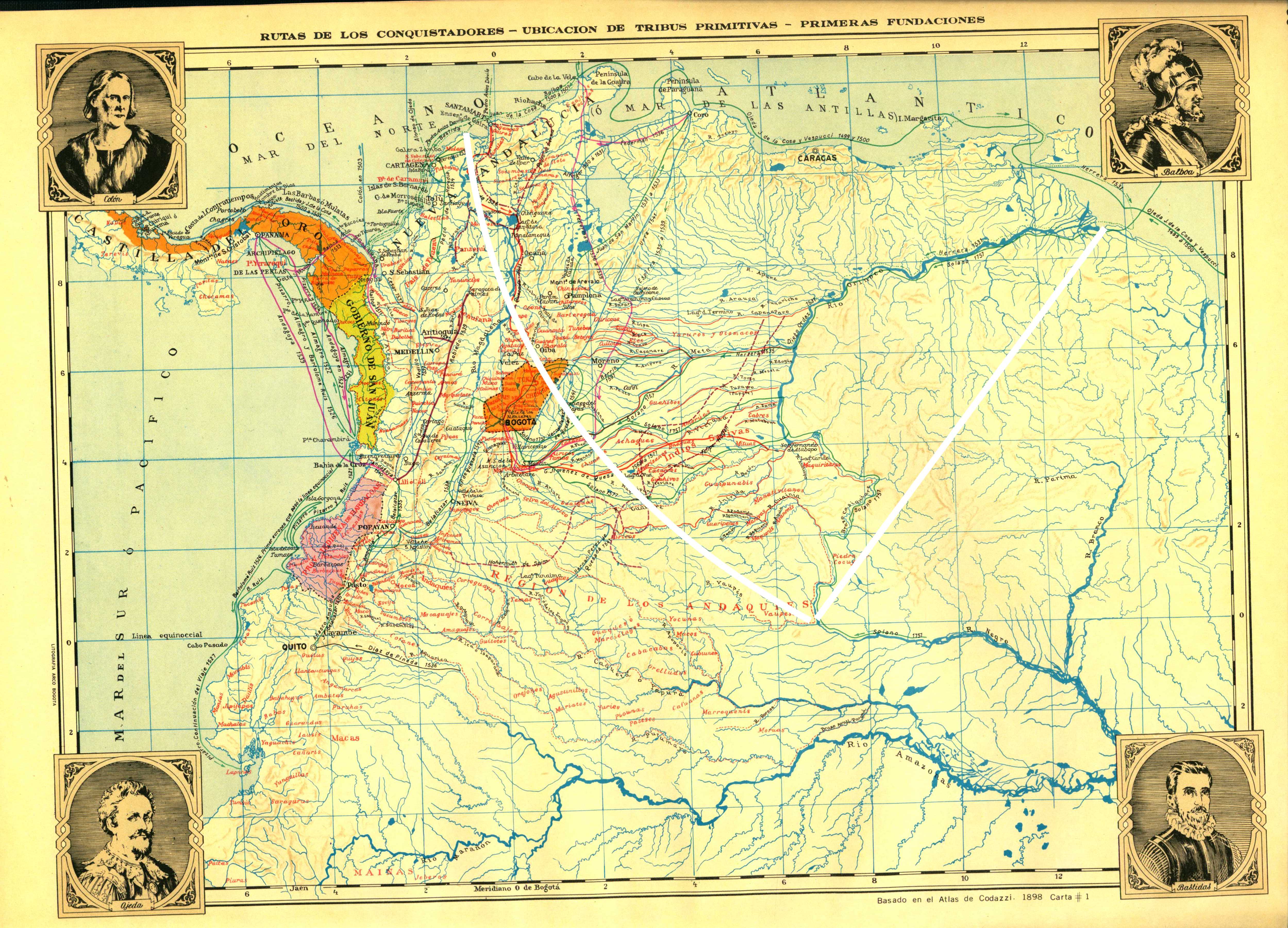
Rutas de los conquistadores. Ubicacion de tribus primitivas. Primeras fundaciones.
Mapa 1500 - 1599