
Povos
- HUARPE
- COMECHINGON
- SANAVIRON
Citação
Universidad Nacional de La Plata. "Sierras Centrales." Museo de La Plata. Accessed June 8, 2021. https://www.fcnym.unlp.edu.ar/museo/educativa/etnografia/sierras_centrales.html
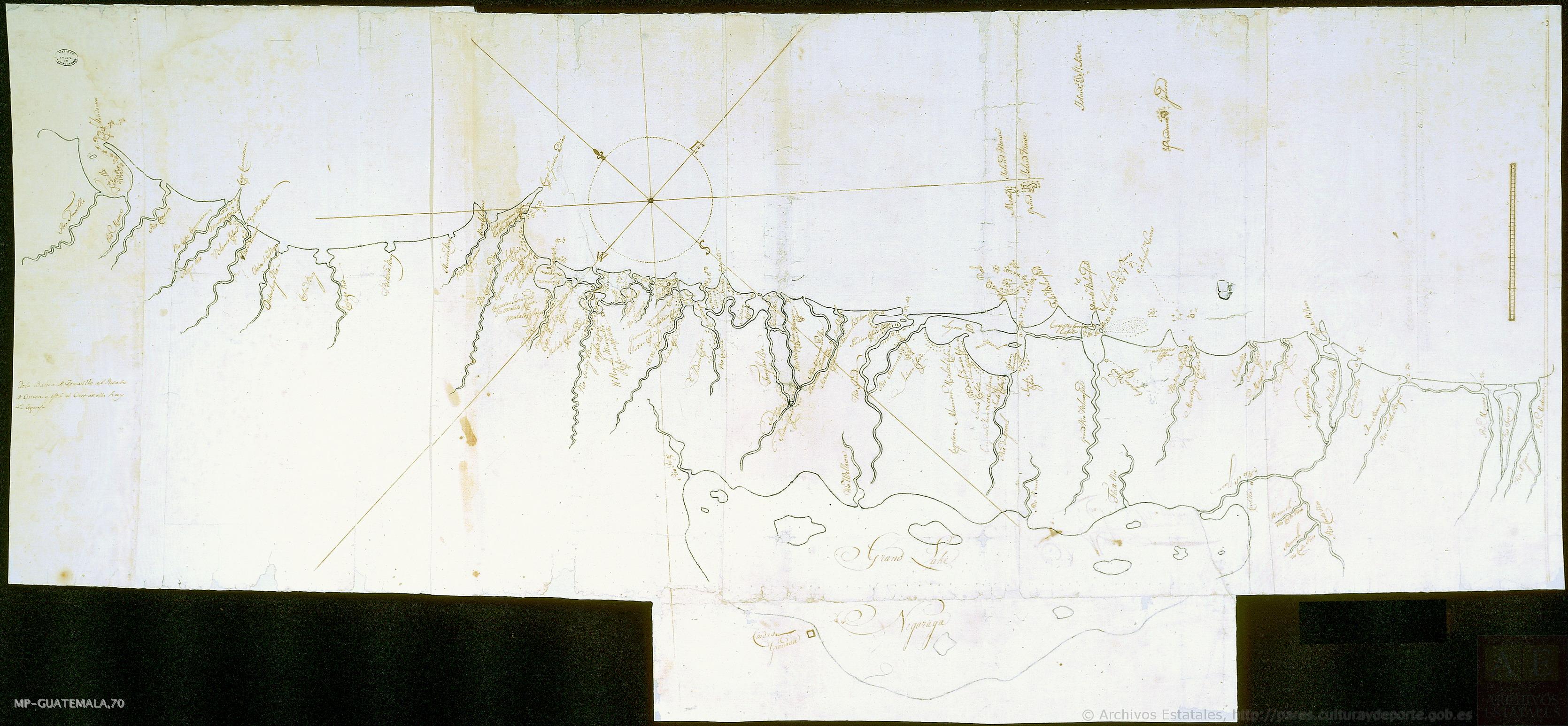
Mapa de costa comprendida entre Trujillo (Honduras) y la desembocadura del río de Matina.
Mapa 1768![Revolución Puta [Revolução Puta]](https://dnet8ble6lm7w.cloudfront.net/art_sm/AMEX012.png)
Revolución Puta [Revolução Puta]
Obra de arte
Railroad Map of British Honduras Transportation Department of the United States Department of Commerce. Library of Congress Geography and Map Division. https://hdl.loc.gov/loc.wdl/wdl.11329
Mapa 1900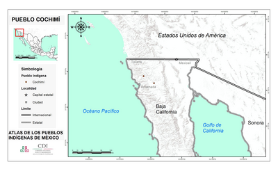
PUEBLO COCHIMI
Mapa 2020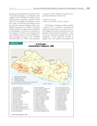
El Salvador: comunidades indígenas. 2000
Mapa 2000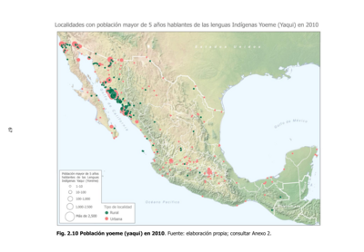
Población yoeme (yaqui) en 2010
Mapa 2010
PUEBLO DE TETELA, PERTENECIENTE A LA CORONA, EN EL DISTRITO DE LA AUDIENCIA DE MÉXICO
Mapa 1581
Carte du Gouvernement de Cayenne dans l'Amérique Méridionale
Mapa 1763