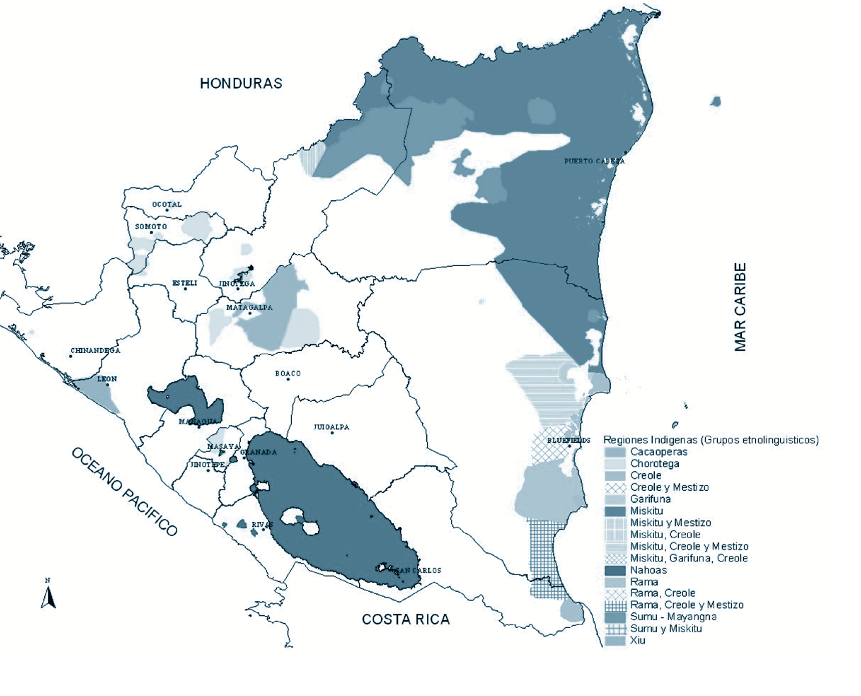
Pueblos
- PAREKA
- QUIRIQUIRIPAS
- CUDUPINAPOS
- TABAJARI
- YEKUANA
- PIAROA
- MEJEPURE
- YAVARANA
- PARENES
- DEESANA
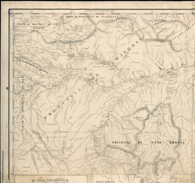
Cita
Wyld;James. Map of New Granada. Map. London;1864. Accessed January 25;2023. https://babel.banrepcultural.org/digital/collection/p17054coll13/id/264/rec/65.