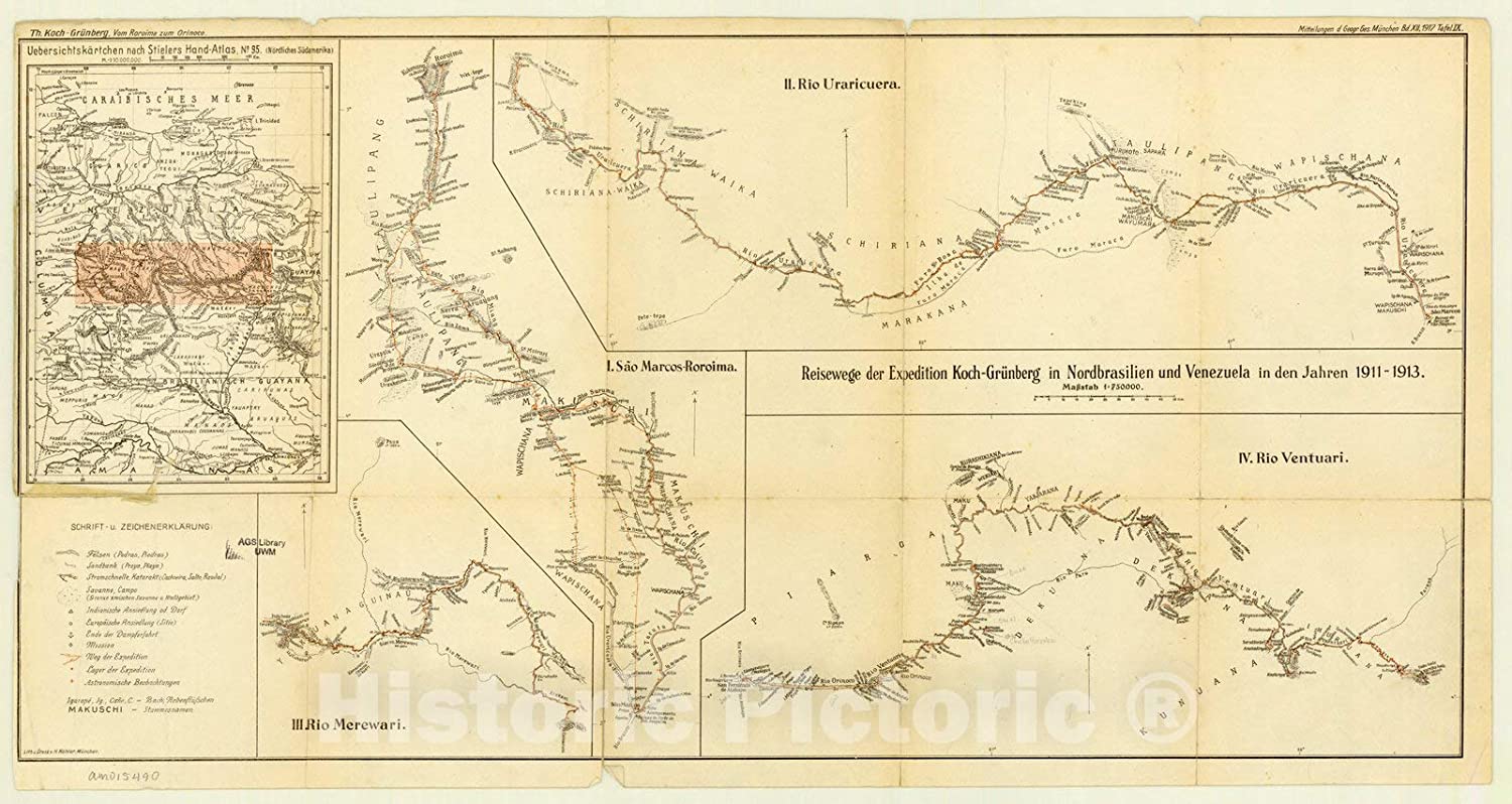
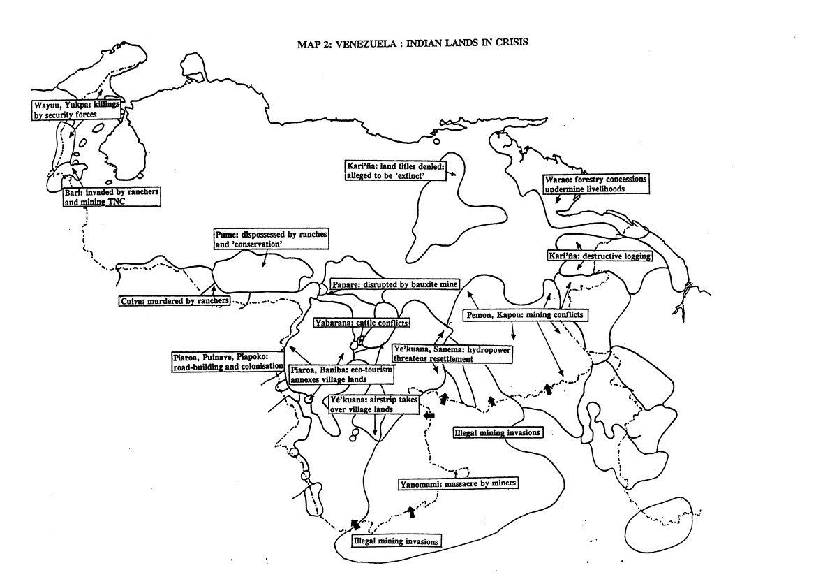
Dispossesions in the Americas

Dispossesions in the Americas

  • Inicio
  • Explorar
  • Autores
  • Sobre
  • Arte
  • Cuerpos
  • Planes de Estudio
  • Herencia Cultural
  • Mapas
  • Territorios
Volver a Explorar

Leyendo en Inglés

Mapa 1995

VENEZUELA: INDIAN LANDS IN CRISIS

  • COLCHESTER;MARCUS;ET AL.

Publicado: 1995

  • Descargar Imágen
  • Descargar Imágen
Mapa 1995

VENEZUELA: INDIAN LANDS IN CRISIS

  • COLCHESTER;MARCUS;ET AL.

Publicado: 1995

  • Descargar Imágen

Pueblos

  • BANIBA
  • BARI
  • CUIVA
  • KAPON
  • KARINA
  • PANARE
  • PEMON
  • PIAPOKO
  • PIAROA
  • PUINAVE
  • PUME
  • SANEMA
  • WARAO
  • WAYUU
  • YABARANA
  • YANOMAMI
  • YEKUANA
  • YUKPA

Cita

Colchester;Marcus;and Fiona Watson. Venezuela: Violations of Indigenous Rights. September 1995. Accessed June 14;2021. https://assets.survivalinternational.org/documents/813/venezuelaviolations.pdf.

  • Descargar Imágen

Leyendo en Portugués

Mapa 1995

VENEZUELA: INDIAN LANDS IN CRISIS

  • COLCHESTER;MARCUS;ET AL.

Publicado: 1995

  • Descargar Imágen

Pueblos

  • BANIBA
  • BARI
  • CUIVA
  • KAPON
  • KARINA
  • PANARE
  • PEMON
  • PIAPOKO
  • PIAROA
  • PUINAVE
  • PUME
  • SANEMA
  • WARAO
  • WAYUU
  • YABARANA
  • YANOMAMI
  • YEKUANA
  • YUKPA

Cita

Colchester;Marcus;and Fiona Watson. Venezuela: Violations of Indigenous Rights. September 1995. Accessed June 14;2021. https://assets.survivalinternational.org/documents/813/venezuelaviolations.pdf.

  • Descargar Imágen

Artículos Relacionados

Principales Conventos en el Siglo XVI

Principales Conventos en el Siglo XVI

Mapa 1500 - 1599
SPATIAL ORGANIZATION OF THE QULLASUYU UNDER INCA RULE

SPATIAL ORGANIZATION OF THE QULLASUYU UNDER INCA RULE

Mapa 1500 - 1530
Cartografía social – confinamiento por la expansión minera en el sur de La Guajira

Cartografía social – confinamiento por la expansión minera en el sur de La Guajira

Mapa
Expedition Koch-Grunberg in Nordbrasilien und Venezuela in den Jahren 1911-1913

Expedition Koch-Grunberg in Nordbrasilien und Venezuela in den Jahren 1911-1913

Mapa 1911 - 1913
Map of Sonora, Showing Historic Location of Pima Bajo, Opata, Papago, and Seri Indians in 1960

Map of Sonora, Showing Historic Location of Pima Bajo, Opata, Papago, and Seri Indians in 1960

Mapa 1960
Mapa Corografico De la Provincia de Sta. Marta y parte de las de Cartagena de Yndias, Giron, Pamplona, Maracaybo, Y Rio del Hacha sus confinante

Mapa Corografico De la Provincia de Sta. Marta y parte de las de Cartagena de Yndias, Giron, Pamplona, Maracaybo, Y Rio del Hacha sus confinante

Mapa 1811
TIERRA FIRME E ISLAS ADYACENTES

TIERRA FIRME E ISLAS ADYACENTES

Mapa 1817
Comunidades indígenas y Áreas protegidas del Chaco paraguayo

Comunidades indígenas y Áreas protegidas del Chaco paraguayo

Mapa 2020

Despojos en las Américas

Un Proyecto de

University of Pennsylvania

Copyright 2024

Con el apoyo de

Mellon Foundation

Diseño y Desarrollo del Sitio

Element 84

Créditos Artísticos

Colchester;Marcus;and Fiona Watson. Venezuela: Violations of Indigenous Rights. September 1995. Accessed June 14;2021. https://assets.survivalinternational.org/documents/813/venezuelaviolations.pdf.

Páginas del Sitio

  • Inicio
  • Explorar
  • Autores
  • Sobre
  • Arte
  • Cuerpos
  • Planes de Estudio
  • Herencia Cultural
  • Mapas
  • Territorios