Pueblos
- CHARRUAS
- GUENOA-MINUANES
- TAPES
- PAYAGOAS
- GUAYCANAS
Cita
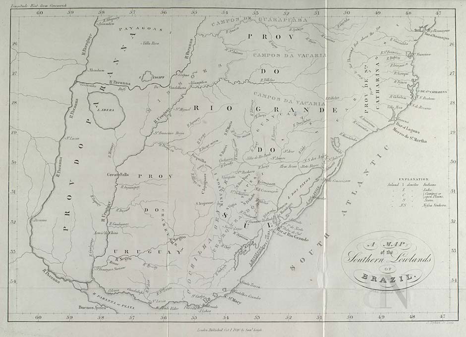
Lucook, John. A Map of the Southern Lowlands of Brazil. Map. London: Samuel Leigh, 1820. Accessed August 6, 2022. https://purl.pt/103/1/Catalogo-digital/registo/253/253.html.
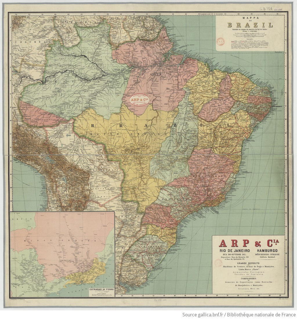
MAPPA DO BRAZIL baseado no mappa da America do Sul de Stieler
Mapa 1900 - 1999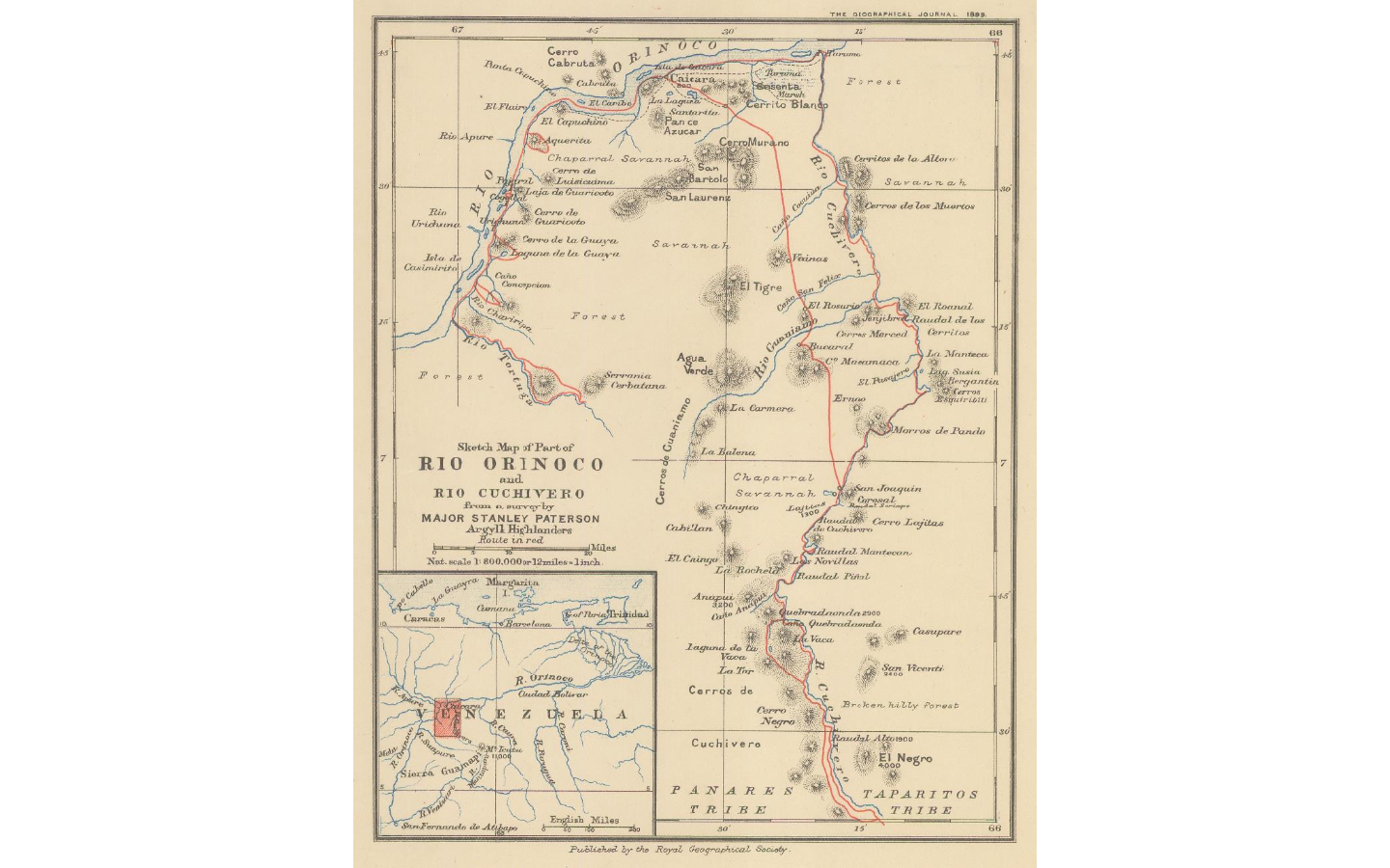
Sketch map of part of RÍO ORINOCO and RIO CUCHIVERO from a survey by MAJOR STANLEY PATERSON
Mapa 1896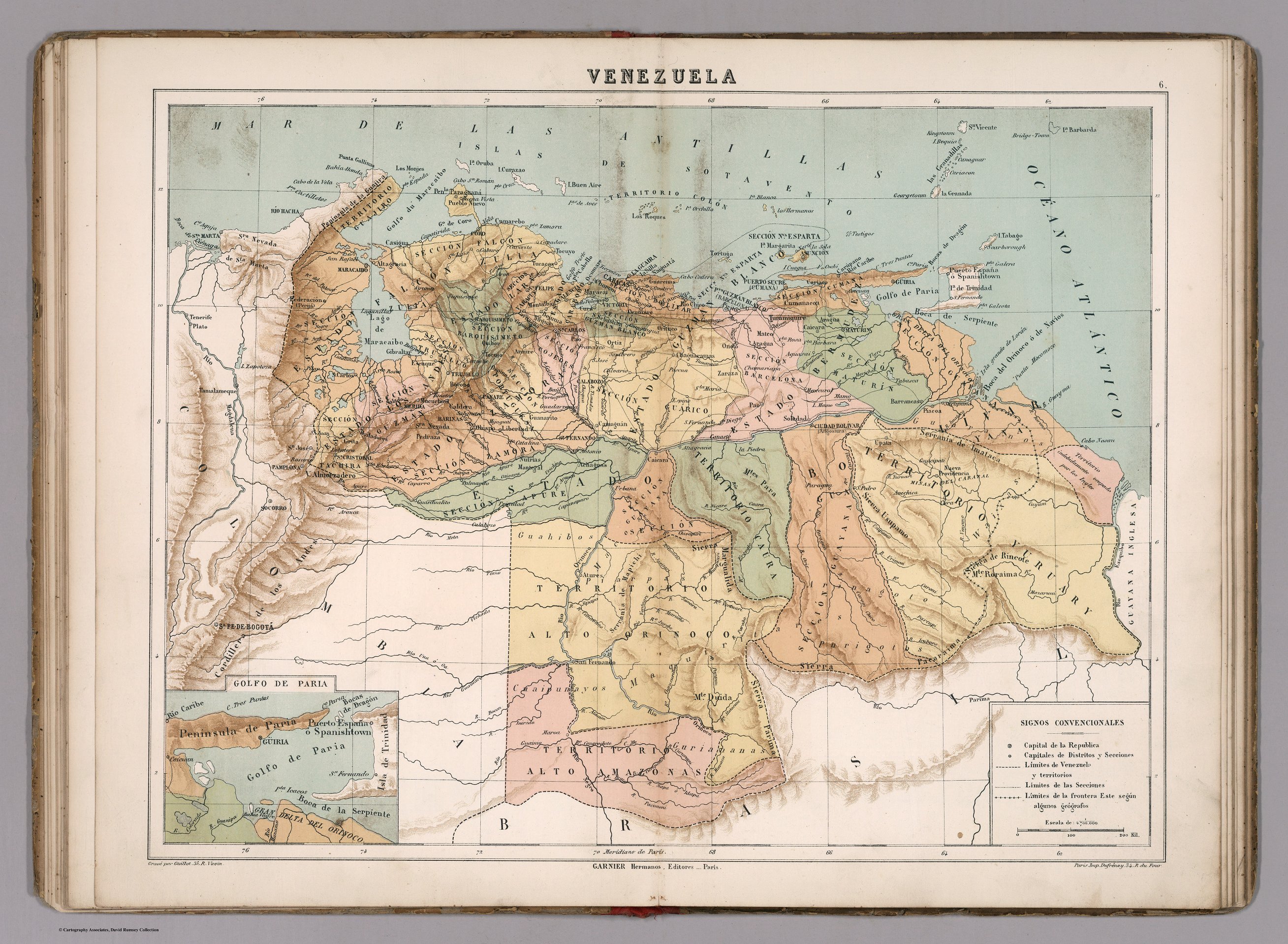
VENEZUELA
Mapa 1885
San Roman and Santa Rosa
Mapa 1997
CARTE DU THÉÂTRE DE LA GUERRE ENTRE LE BRÉSIL, LA CONFÉDÉRATION ARGENTINE, LA RÉPUBLIQUE DE L'URUGUAY & LE PARAGUAY
Mapa 1864 - 1865
Carta de la provincia de quito y de sus
Mapa 1700 - 1750
Jamaican Taíno Village of Maima, St. Ann’s Bay, Jamaica
Mapa 1500 - 1599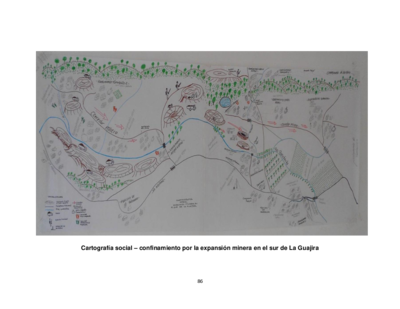
Cartografía social – confinamiento por la expansión minera en el sur de La Guajira
Mapa