Pueblos
- QUECHUA
- AYMARA
Cita
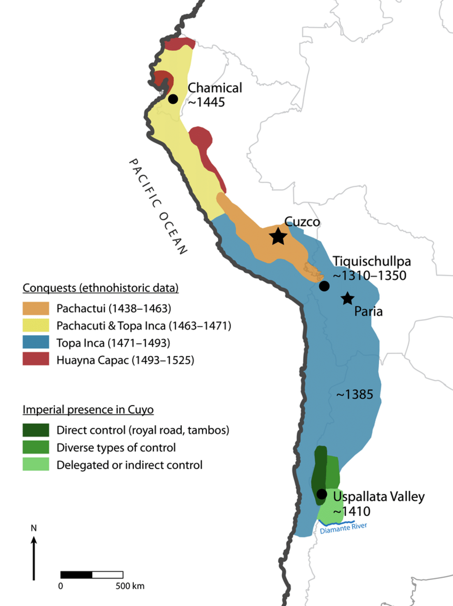
Article Marsh, E., Kidd, R., Ogburn, D., & Durán, V. (2017). Dating the Expansion of the Inca Empire: Bayesian Models from Ecuador and Argentina. Radiocarbon, 59(1), 1-24. https://doi.org/10.1017/RDC.2016.118
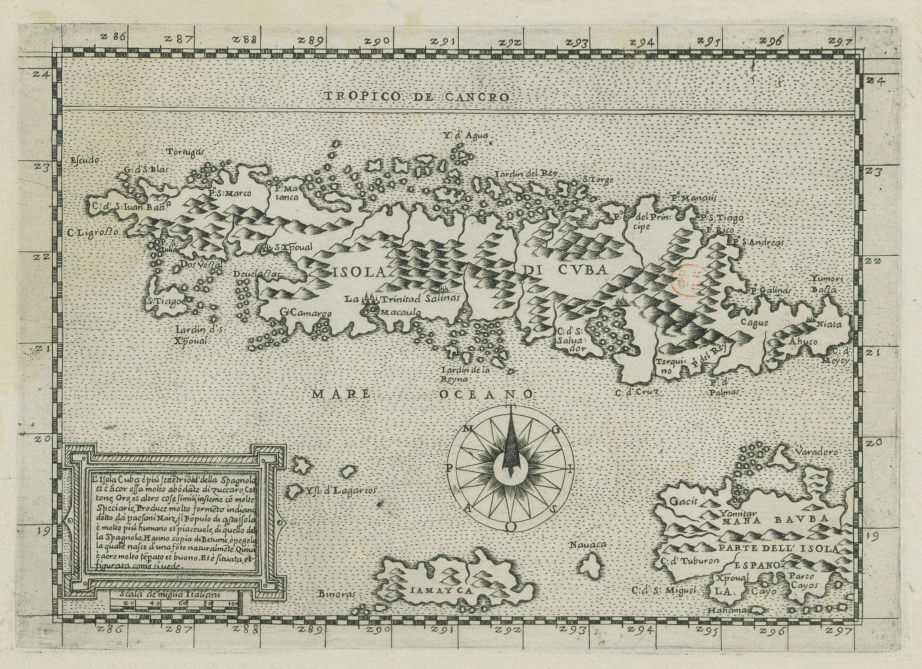
L'Isola Cuba è piu Settetrioal'della Spagnolei et è acor essa molto abodate di zuccaro, cottone, oro et altre cose simili
Mapa 1500 - 1599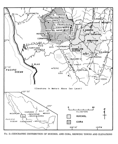
Geographic Distribution of Huichol and Cora, Showing Towns and Elevations
Mapa 1969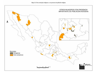
OTROS MUNICIPIOS INDÍGENAS O CON PRESENCIA DE POBLACIÓN INDÍGENA
Mapa 2000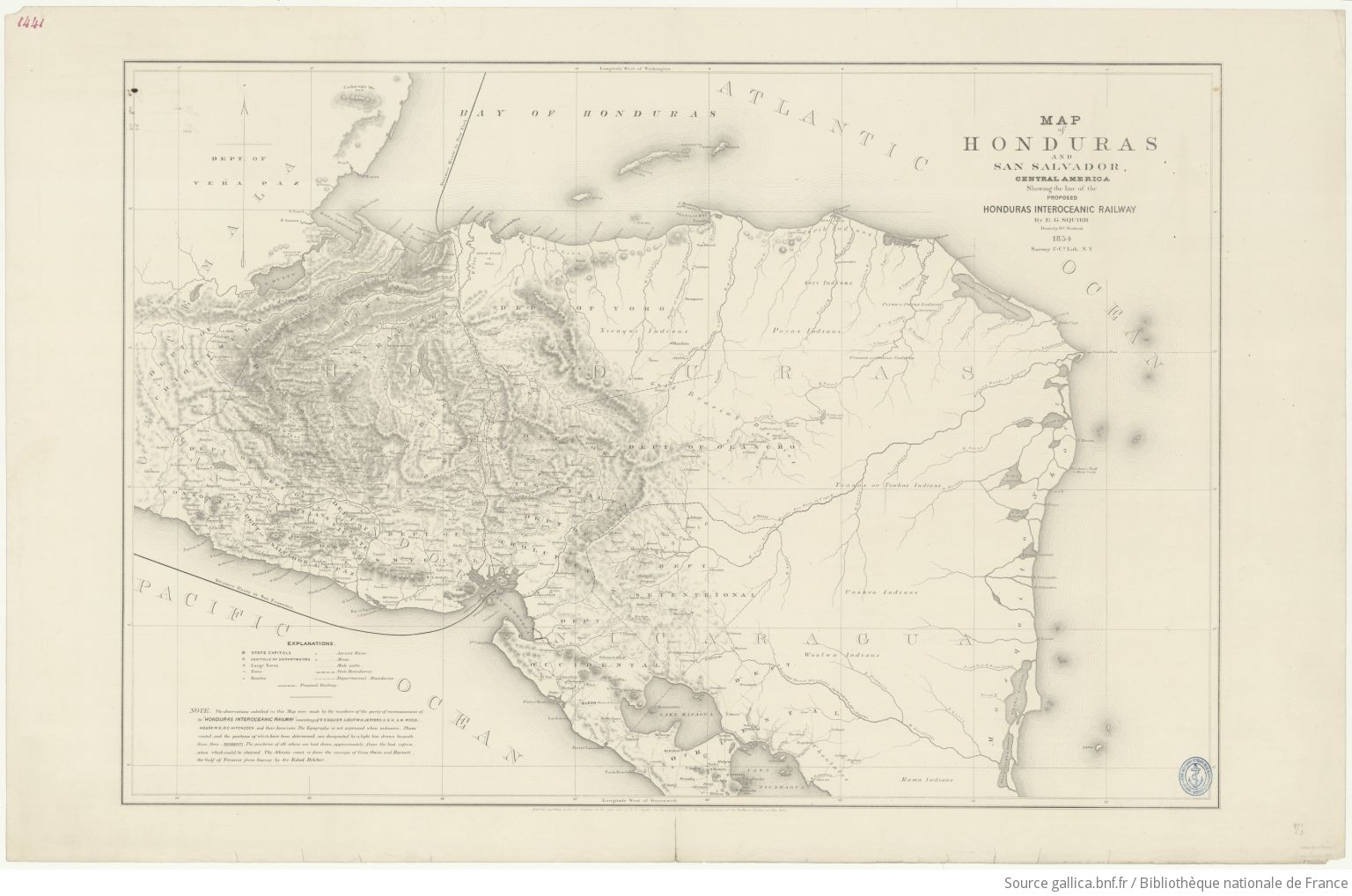
Map of Honduras and San Salvador, Central America, Showing the line of the proposed Honduras Interoceanic Railway
Mapa 1854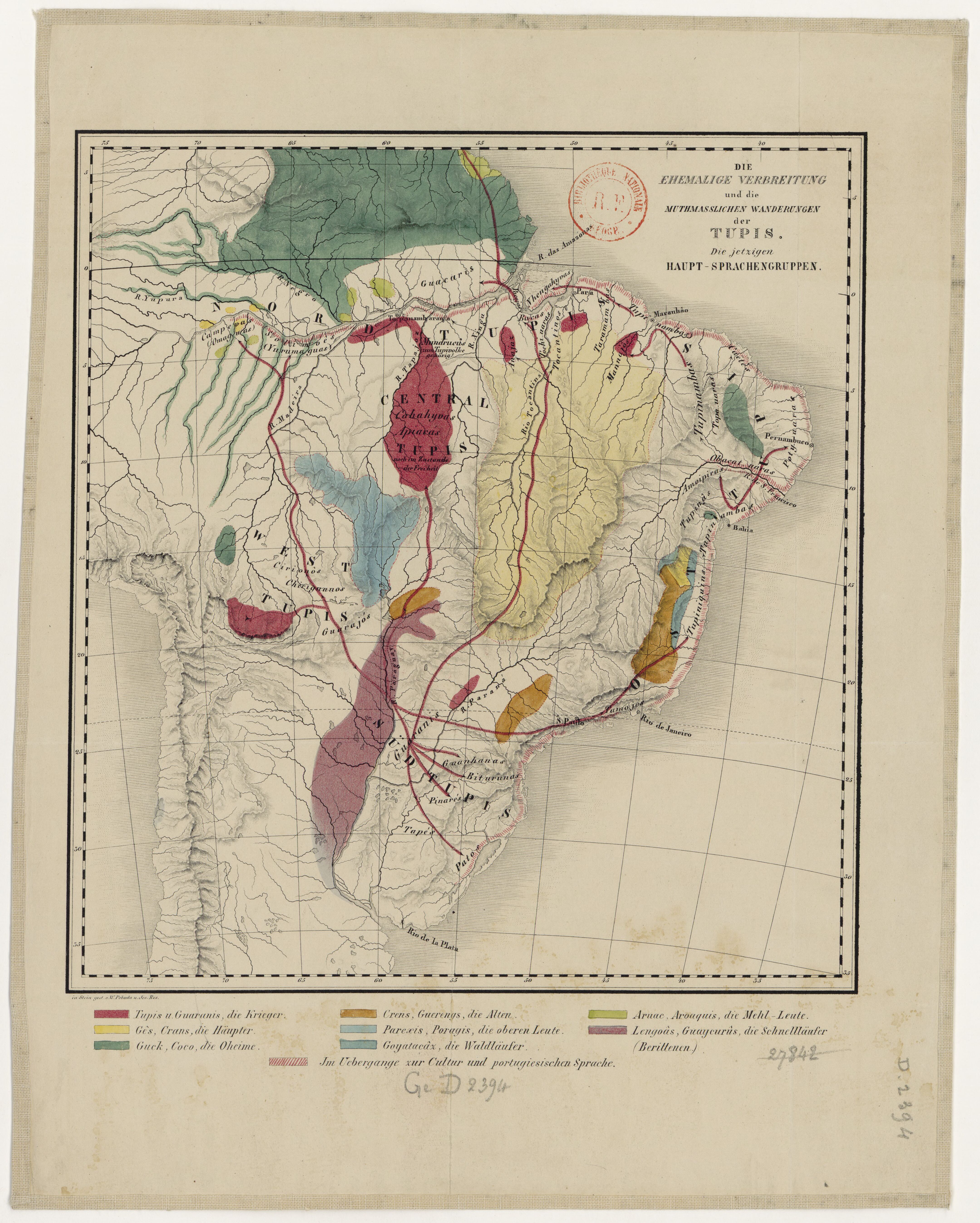
DIE EHEMALIGE VERBREITUNG und die MUTHMASSLICHEN WANDERUNGEN der TUPIS. Die jetzigen HAUPT-SPRACHENGRUPPEN.
Mapa 1875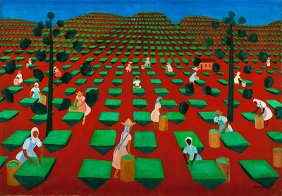
Hacienda de té en Itacolomi
Obra de Arte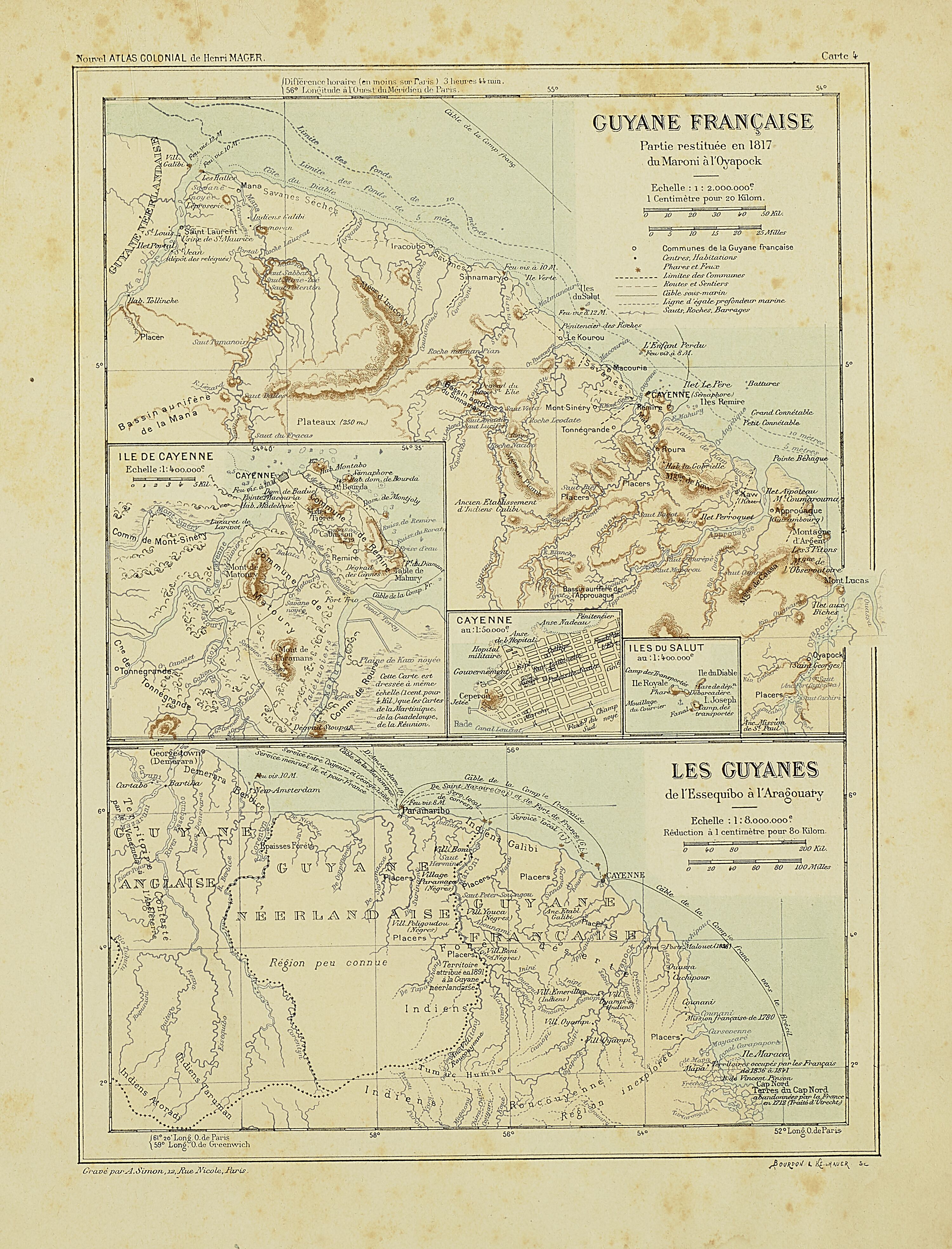
Carte IV: Guyane française.
Mapa 1899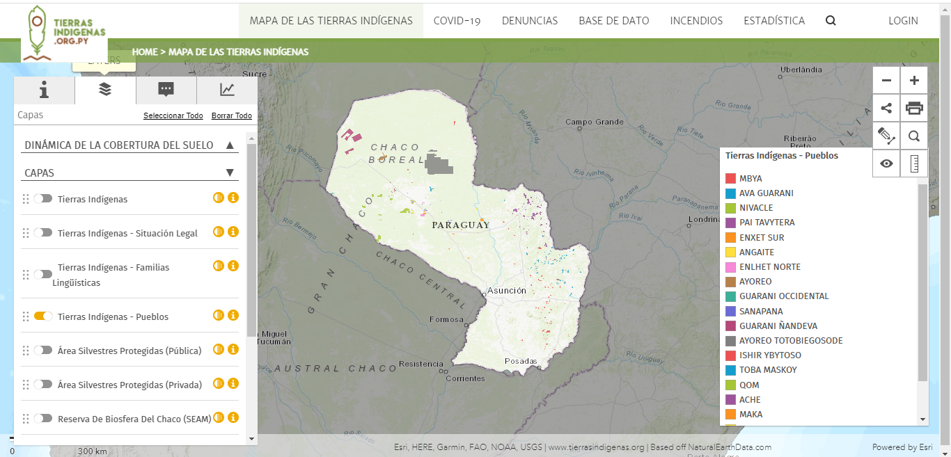
Mapa de las tierras indígenas - Pueblos
Mapa 2017