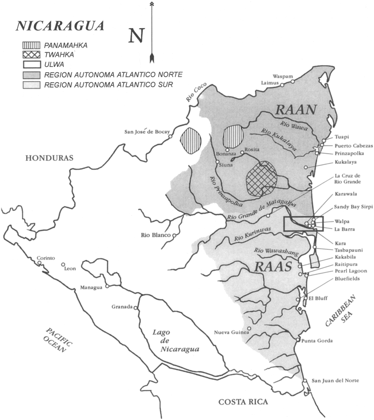
Pueblos
- MISKITU
- ULWA
- PANAMAHKA
- TWAHKA
Cita
Figure 1. Map of Nicaragua showing Ulwa settlements in Eastern Nicaragua and field study sites (in rectangle). Coe;Felix and Gregory Anderson. 1999. "Ethnobotany of the Sumu (Ulwa) of Southeastern Nicaragua and comparisons with Miskitu plan lore" Economic Botany. 53(4): pp 363:386. Accessed July 27 2023. https://www.researchgate.net/figure/Map-of-Nicaragua-showing-Ulwa-settlements-in-eastern-Nicaragua-and-field-study-sites-in_fig1_227072089
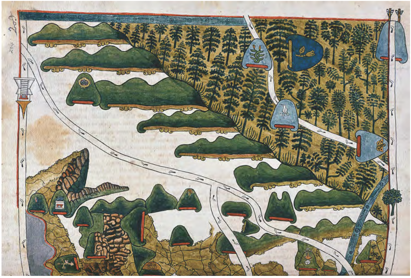
![Numero 6⁰. Plano que de muestra la porcion de costades de la Punta de Marabiq[u]e [sic] por la parte del oeste, has[t]as la detirbes por el leste, puertos, cauos yslas &c](https://dnet8ble6lm7w.cloudfront.net/maps/HON/HON0020.jpg)