Dispossesions in the Americas

Dispossesions in the Americas

  • Inicio
  • Explorar
  • Autores
  • Sobre
  • Arte
  • Cuerpos
  • Planes de Estudio
  • Herencia Cultural
  • Mapas
  • Territorios
Volver a Explorar

Leyendo en Inglés

Mapa 1757

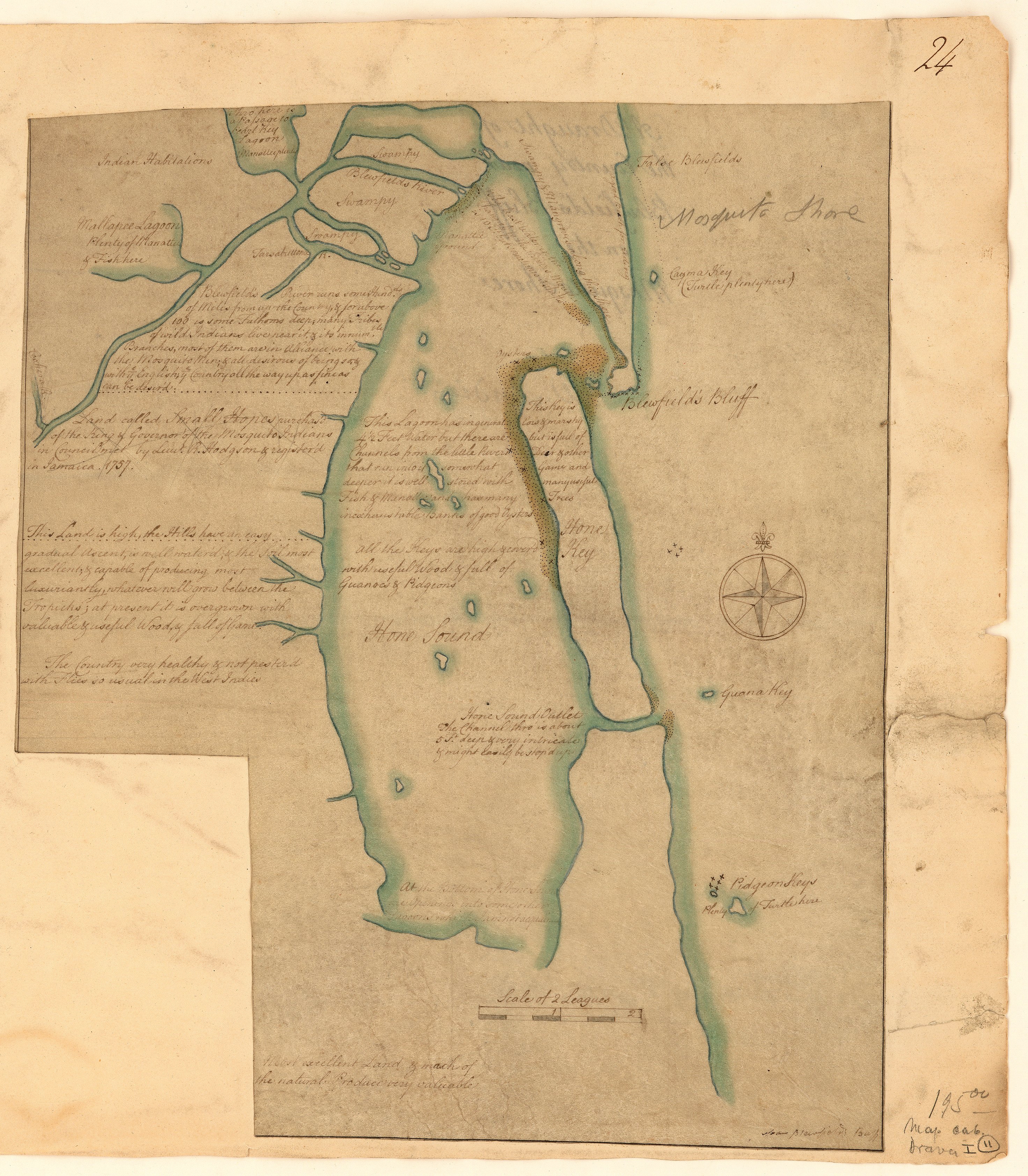
A draught of the country near Blewfields Bluff on the Mosquito Shore

    Publicado: 1757

    • Descargar Imágen
    • Descargar Imágen
    Mapa 1757

    A draught of the country near Blewfields Bluff on the Mosquito Shore

      Publicado: 1757

      • Descargar Imágen

      Pueblos

      • MOSQUITOS
      • INDIANS

      Citas

      A draught of the country near Blewfields Bluff on the Mosquito Shore. 1757. John Carter Brown Map Collection. C-6713. File Name: C-6713-000. https://jcb.lunaimaging.com/luna/servlet/detail/JCBMAPS~1~1~6420~115902733:A-draught-of-the-country-near-Blewf?qvq=q:Nicaragua;lc:JCBMAPS~2~2;JCBMAPS~3~3;JCB~1~1;JCB~3~3;JCBBOOKS~1~1;JCBMAPS~1~1&mi=11&trs=66#
      • Descargar Imágen

      Artículos Relacionados

      Map of Culhuacan (Valley of Mexico), 1580, Relacion geografica de Culhuacan

      Map of Culhuacan (Valley of Mexico), 1580, Relacion geografica de Culhuacan

      Mapa 1580
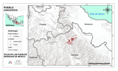
      PUEBLO OTOMI

      PUEBLO OTOMI

      Mapa 2020
      PUEBLO URO

      PUEBLO URO

      Mapa 2021
      ATLAS de VENEZUELA ESTADO ZULIA

      ATLAS de VENEZUELA ESTADO ZULIA

      Mapa 1916
      Carte de la Guyane et des territoires limitrophes (Traité d'arbitrage, signé à Londres le 6 novembre 1901)

      Carte de la Guyane et des territoires limitrophes (Traité d'arbitrage, signé à Londres le 6 novembre 1901)

      Mapa 1900 - 1999
      Esquema del virreinato del Río de la Plata y sus Intendencias después de la separación de Puno

      Esquema del virreinato del Río de la Plata y sus Intendencias después de la separación de Puno

      Mapa 1796
      Terra Indígena Guarani do Aguapeú

      Terra Indígena Guarani do Aguapeú

      Mapa 2011
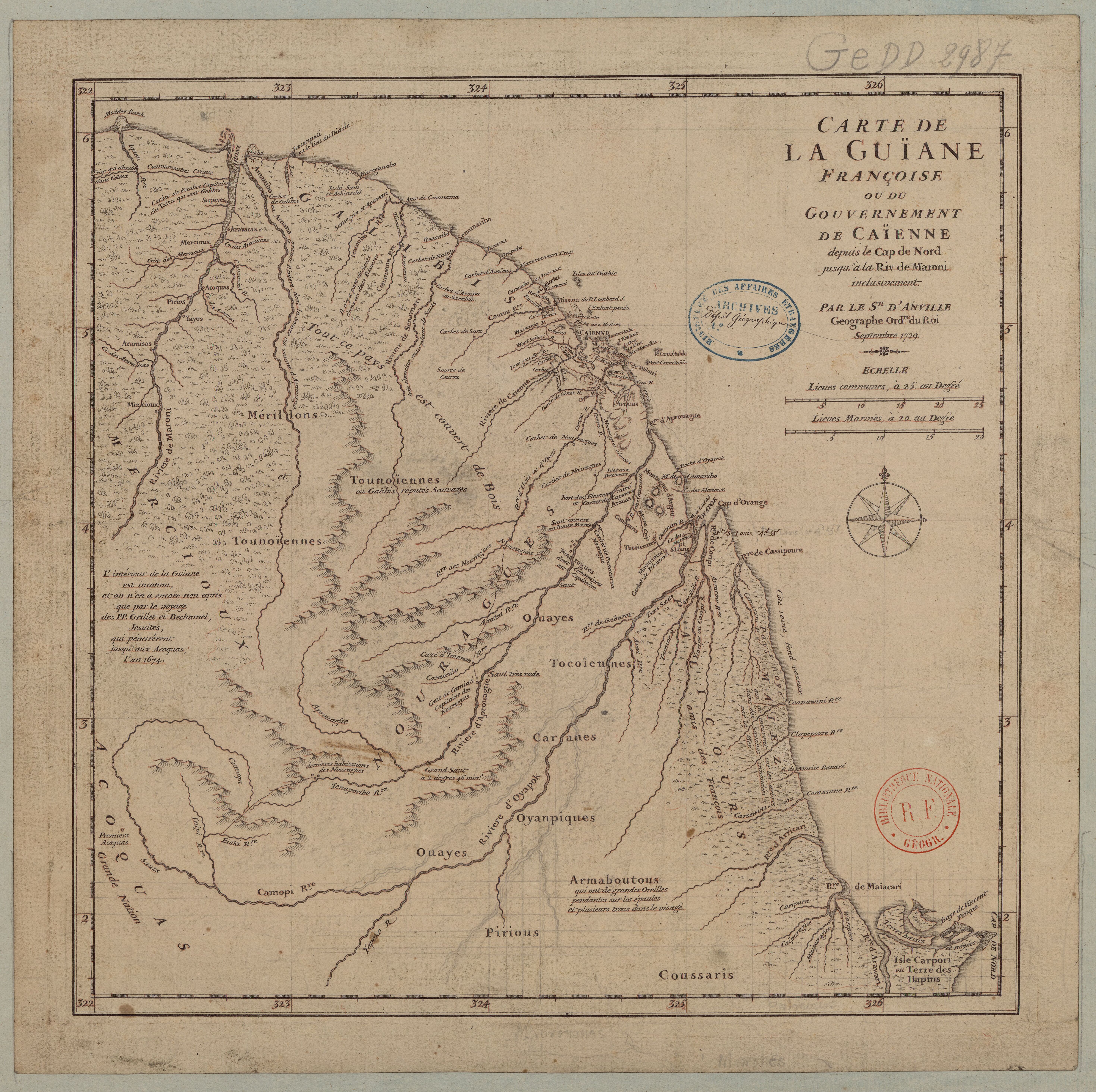
      Carte du Gouvernement de Cayenne.

      Carte du Gouvernement de Cayenne.

      Mapa 1700 - 1799

      Despojos en las Américas

      Un Proyecto de

      University of Pennsylvania

      Copyright 2024

      Con el apoyo de

      Mellon Foundation

      Diseño y Desarrollo del Sitio

      Element 84

      Créditos Artísticos

      A draught of the country near Blewfields Bluff on the Mosquito Shore. 1757. John Carter Brown Map Collection. C-6713. File Name: C-6713-000. https://jcb.lunaimaging.com/luna/servlet/detail/JCBMAPS~1~1~6420~115902733:A-draught-of-the-country-near-Blewf?qvq=q:Nicaragua;lc:JCBMAPS~2~2;JCBMAPS~3~3;JCB~1~1;JCB~3~3;JCBBOOKS~1~1;JCBMAPS~1~1&mi=11&trs=66#
      Páginas del Sitio

      • Inicio
      • Explorar
      • Autores
      • Sobre
      • Arte
      • Cuerpos
      • Planes de Estudio
      • Herencia Cultural
      • Mapas
      • Territorios