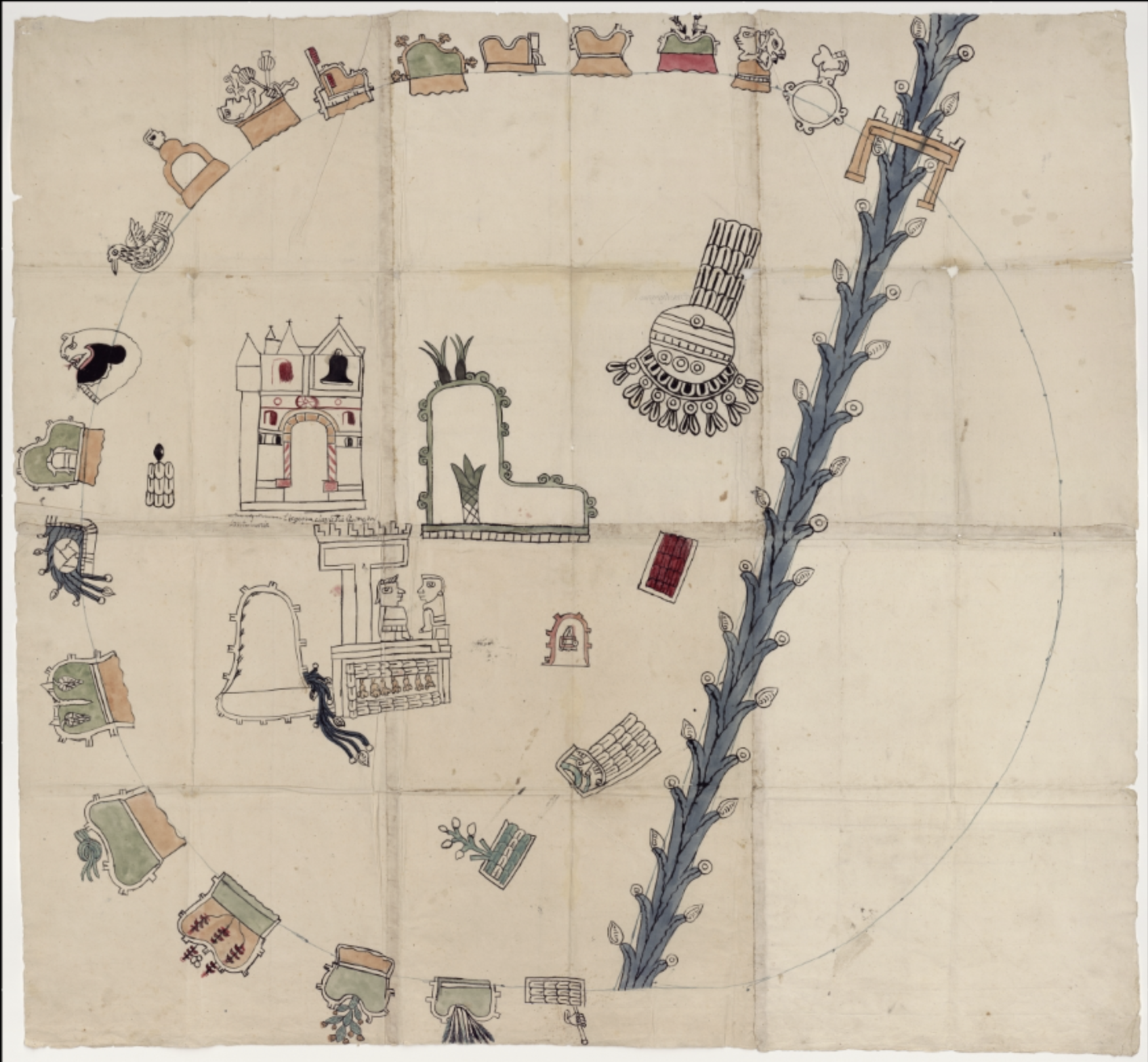
Pueblos
- MIXTEC
Cita
"Mapa de la Relación Geográfica de Amoltepec." Map. 1580. http://bdmx.mx/documento/mapa-relacion-geografica-amoltepec-1580.
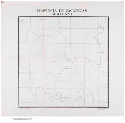
Provincia de Zacatecas
Mapa 1600 - 1699
A Map of part of Yucatan or of that Part of the Eastern Shore Within the Bay of Honduras Alloted to Great Britain for the Cutting of Logwood, in consequence of the Convention Signed with Spain on the 14th July 1786.
Mapa 1700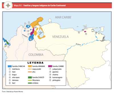
Mapa IX.1 Familias y lenguas indígenas del Caribe Continental
Mapa 2009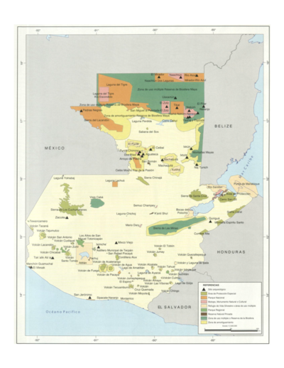
Sistema guatemalteco de áreas protegidas (SIGAP) y sitios arqueológicos en 2000.
Mapa 2000
STRENGTHENING INDIGENOUS LAND RIGHTS IN COLOMBIA
Mapa 2019 - 2020
CARTA COROGRAFICA DE LA REPÚBLICA DEL ECUADOR / MANUEL VILLAVICENCIO ;LIT. E IMP. DE F. MAYER Y CA.
Mapa 1817
PUEBLO WAMPIS
Mapa 2021
Mapa de las tierras indígenas
Mapa 2017