Dispossesions in the Americas

Dispossesions in the Americas

  • Inicio
  • Explorar
  • Autores
  • Sobre
  • Arte
  • Cuerpos
  • Planes de Estudio
  • Herencia Cultural
  • Mapas
  • Territorios
Volver a Explorar

Leyendo en Inglés

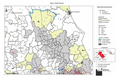
Mapa 2015

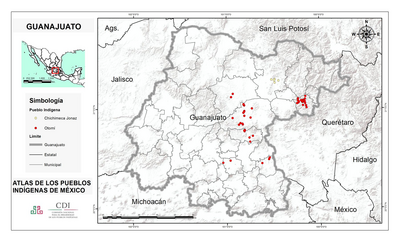
SAN LUIS POTOSÍ

  • INSTITUTO NACIONAL DE LOS PUEBLOS INDIGENAS

  • Descargar Imágen
  • Descargar Imágen
Mapa 2015

SAN LUIS POTOSÍ

  • INSTITUTO NACIONAL DE LOS PUEBLOS INDIGENAS

  • Descargar Imágen

Pueblos

  • HUASTECO
  • NAHUA
  • PAME

Citas

Instituto Nacional de los Pueblos Indígenas. "Distribución por Entidad Federativa." Atlas de los pueblos indígenas de México. http://atlas.inpi.gob.mx/distribucion-por-entidad-federativa/.

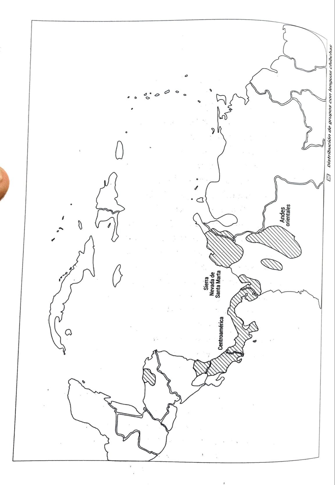
  • Descargar Imágen

Artículos Relacionados

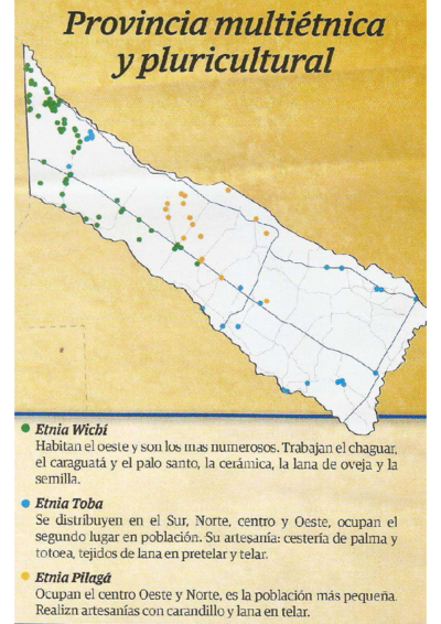
Localización del área del Gran Chaco, Argentina  (adaptado de Museo del libro y de la lengua 2012)

Localización del área del Gran Chaco, Argentina (adaptado de Museo del libro y de la lengua 2012)

Mapa 2012
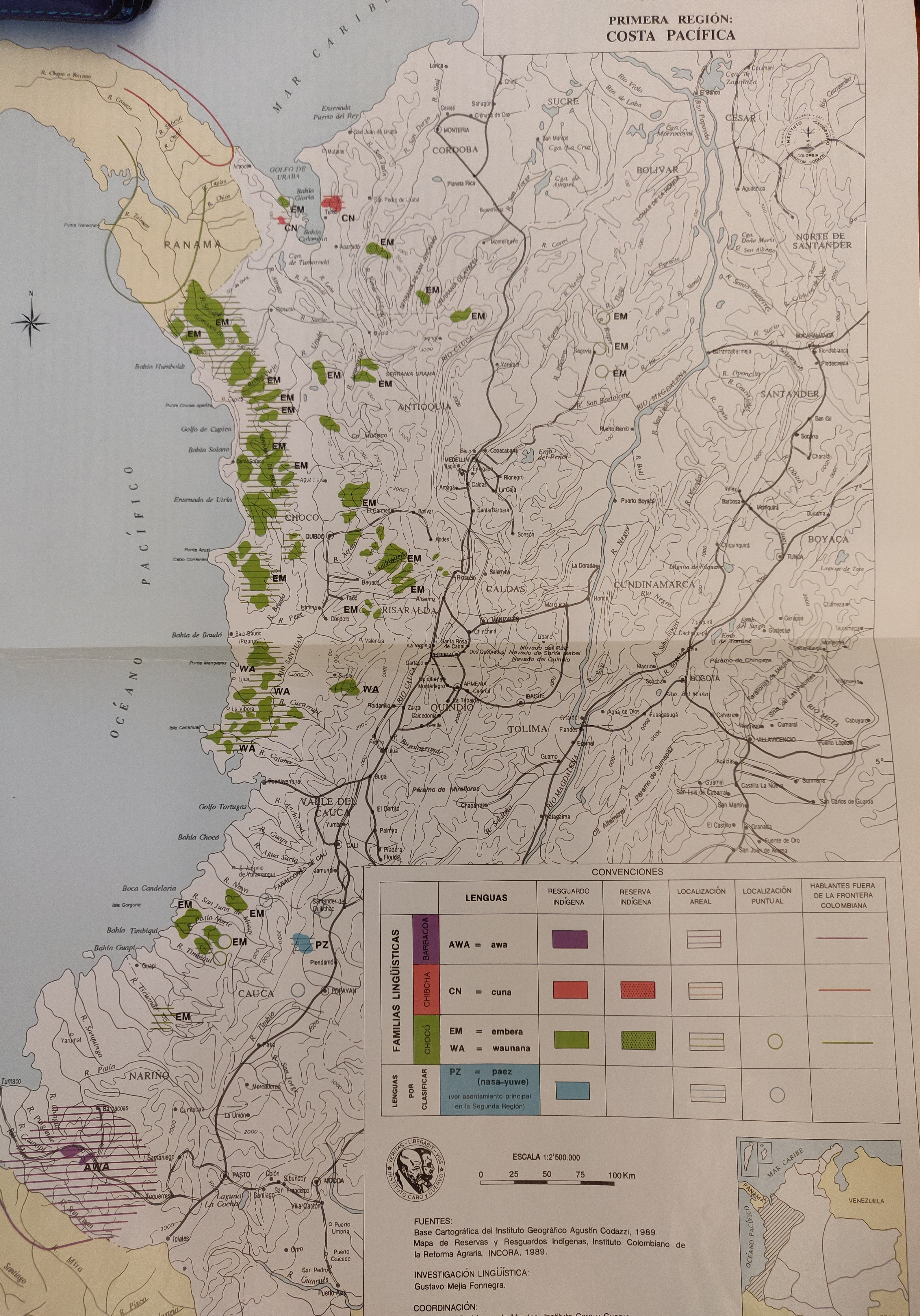
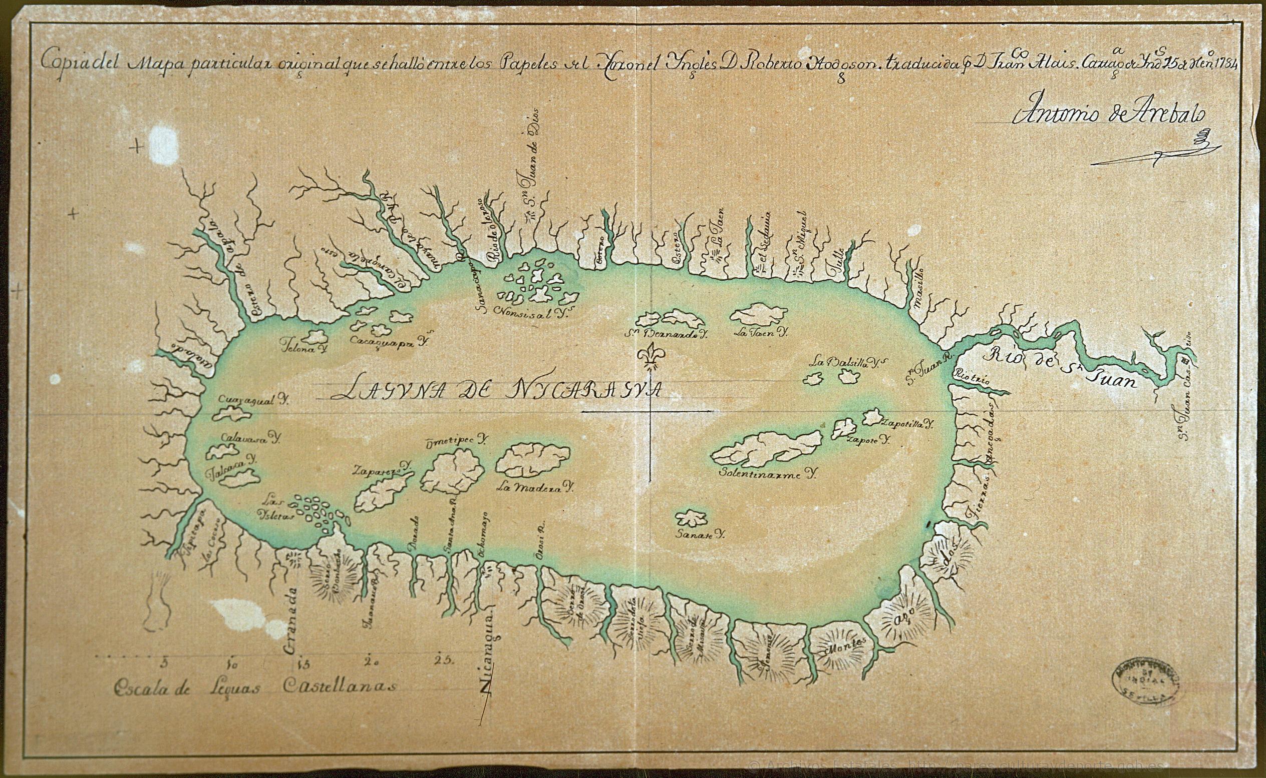
Government map of Nicaragua : from the latest surveys ordered by President Patricio Rivas and Genl. William Walker ;executed under the supervision of the Señor Fermín Ferrer;Governor of the Western Department;1856

Government map of Nicaragua : from the latest surveys ordered by President Patricio Rivas and Genl. William Walker ;executed under the supervision of the Señor Fermín Ferrer;Governor of the Western Department;1856

Mapa 1800 - 1856
CARTE DU PARAGUAY et des Pays Voisins

CARTE DU PARAGUAY et des Pays Voisins

Mapa 1764
CARTE POUR SUIVRE LES VOYAGES du DR. CREVAUX SUR LES RIVIÈRES MAGDALENA;GUAYABERO ET ORÉNOQUE

CARTE POUR SUIVRE LES VOYAGES du DR. CREVAUX SUR LES RIVIÈRES MAGDALENA;GUAYABERO ET ORÉNOQUE

Mapa 1881
Nova et exacta delineatio Americae partis australis que est: Brasilia, Caribana, Guiana regnum Novum...

Nova et exacta delineatio Americae partis australis que est: Brasilia, Caribana, Guiana regnum Novum...

Mapa 1500 - 1599
CHOL REGION AND THE LACANDON FOREST

CHOL REGION AND THE LACANDON FOREST

Mapa 1998
REGIÓN MAZAHUA OTOMI

REGIÓN MAZAHUA OTOMI

Mapa 2000
Cartes de la Guyane. Carte de la Guyane Drançaise. Dressée sur l'ordre de M.e M. E. Picanon Gouverneur.

Cartes de la Guyane. Carte de la Guyane Drançaise. Dressée sur l'ordre de M.e M. E. Picanon Gouverneur.

Mapa 1907

Despojos en las Américas

Un Proyecto de

University of Pennsylvania

Copyright 2024

Con el apoyo de

Mellon Foundation

Diseño y Desarrollo del Sitio

Element 84

Créditos Artísticos

Instituto Nacional de los Pueblos Indígenas. “Distribución por Entidad Federativa.” Atlas de los pueblos indígenas de México. http://atlas.inpi.gob.mx/distribucion-por-entidad-federativa/.
Páginas del Sitio

  • Inicio
  • Explorar
  • Autores
  • Sobre
  • Arte
  • Cuerpos
  • Planes de Estudio
  • Herencia Cultural
  • Mapas
  • Territorios