
Pueblos
- HUICHOL
- NAHUA
Cita
Instituto Nacional de los Pueblos Indígenas. "Distribución por Entidad Federativa." Atlas de los pueblos indígenas de México. http://atlas.inpi.gob.mx/distribucion-por-entidad-federativa/.
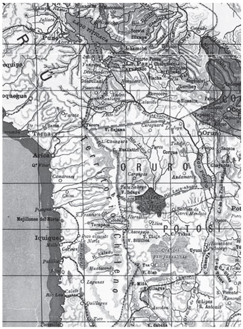
APPROXIMATE BORDERS OF TERRITORY OF THE AYMARA POLITY KARANQAS (OR CARANGAS) IN THE 19TH CENTURY
Mapa 1894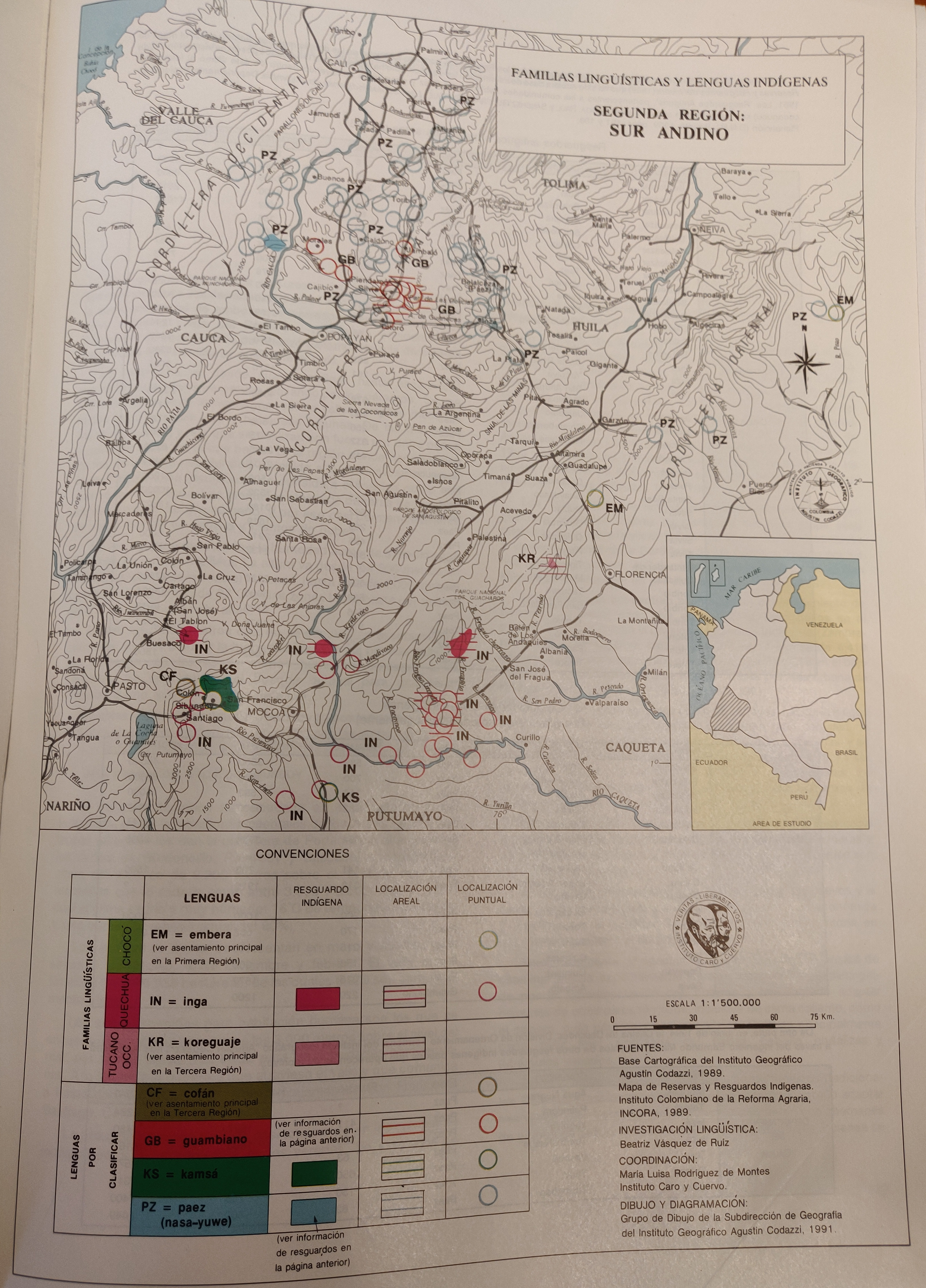
FAMILIAS LINGUISTICAS Y LENGUAS INDIGENAS - SEGUNDA REGION: SUR ANDINO
Mapa 1989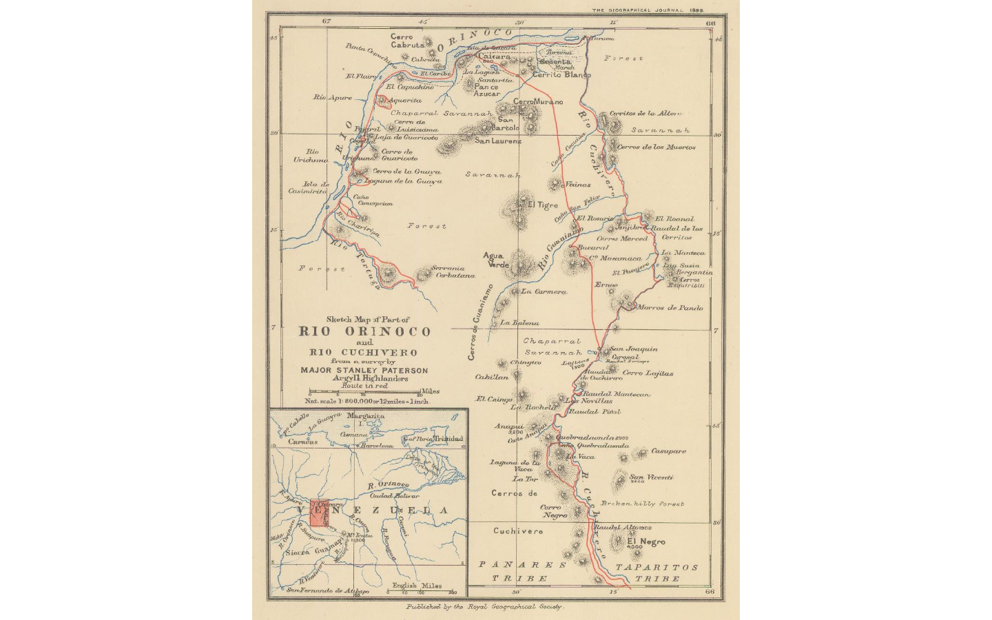
Sketch map of part of RÍO ORINOCO and RIO CUCHIVERO from a survey by MAJOR STANLEY PATERSON
Mapa 1896!["Senza titolo" ["Sin título"]](https://dnet8ble6lm7w.cloudfront.net/art_sm/ABRA015.png)
"Senza titolo" ["Sin título"]
Obra de Arte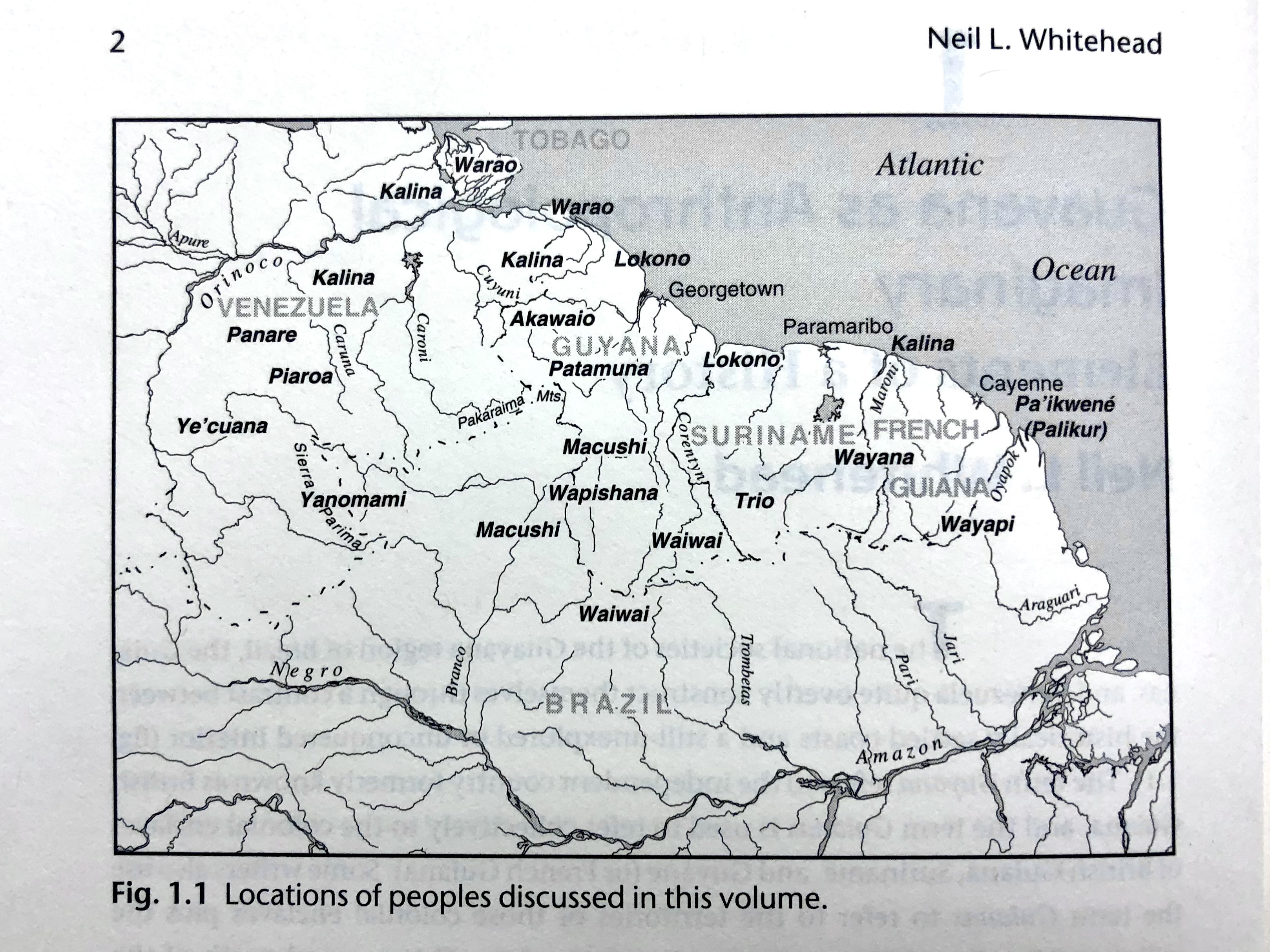
Fig. 1.1 Locations of peoples discussed in this volume
Mapa 1900 - 1999
Carta del Virreynato de Santafe de Bogota: Copia de la de Mr. D'Anville
Mapa 1776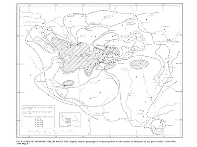
Area of Tarascan Speech around 1750
Mapa 1750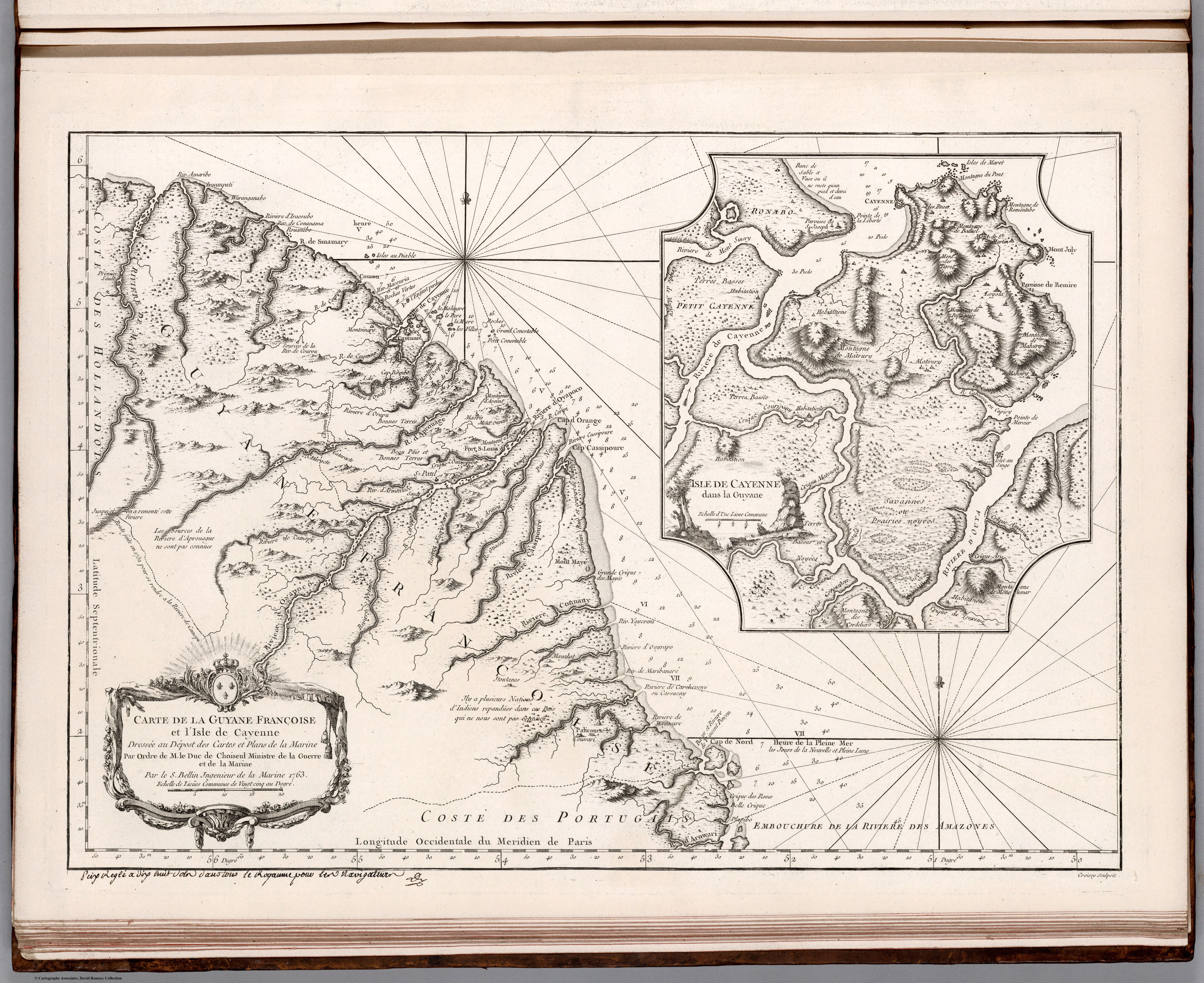
Carte de la Guyane Françoise et l'Isle de Cayenne. Dressée au Dépost des Cartes et Plans de la Marine Par Ordre de M. le Duc de Choiseul Ministre de la Guerre et de la Marine.
Mapa 1763