
Pueblos
- COCHIMI
- CUCAPA
- KILIWA
- KUAHL
- KUMIAI
- PAIPAI
Cita
Instituto Nacional de los Pueblos Indígenas. "Distribución por Entidad Federativa." Atlas de los pueblos indígenas de México. http://atlas.inpi.gob.mx/distribucion-por-entidad-federativa/.

The modern departments of Ahuachapán, La Libertad, Santa Ana, and Sonsonate (highlighted in red) now contain the highest concentration of Indigenous communities in El Salvador.
Mapa 2010
Area of Tarascan Speech around 1750
Mapa 1750
‘INDIAN ROYAL TOWNS’ (REDUCCIONES) IN THE PACAJES PROVINCE (CORREGIMIENTO) UNDER SPANISH COLONIAL RULE IN THE LATE 16TH CENTURY
Mapa 1570 - 1630
PUEBLO NAHUA
Mapa 2021
BRASILIA ET PERUVIA
Mapa 1500 - 1599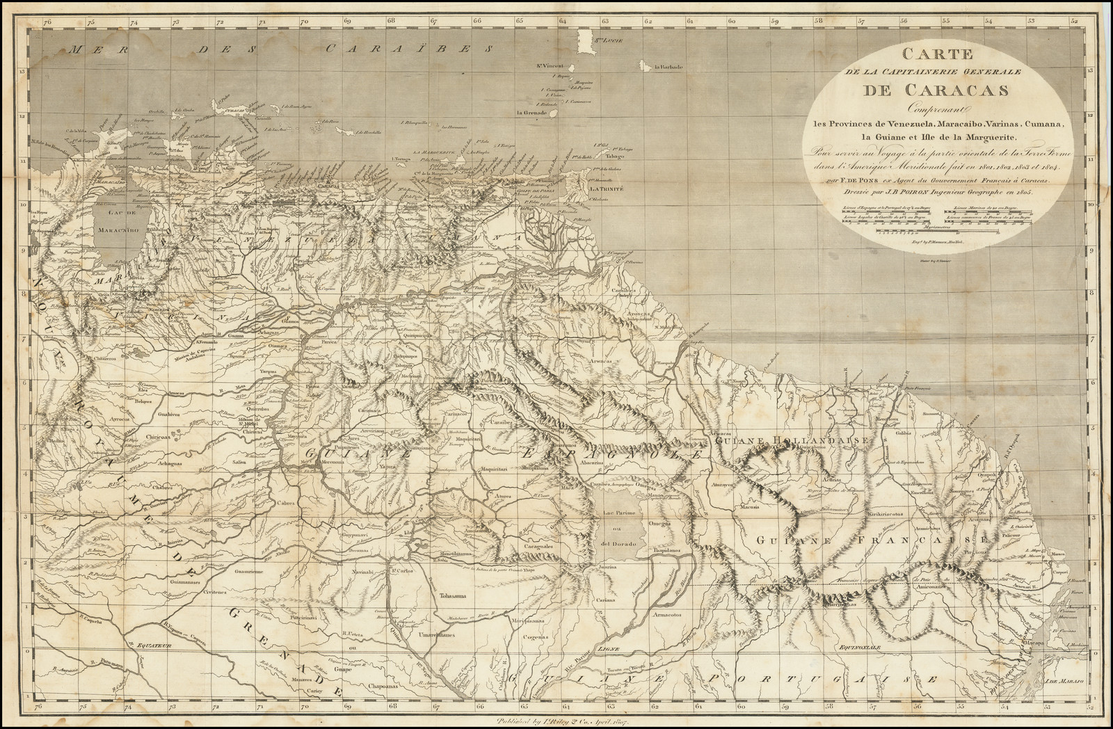
CARTE DE LA CAPITAINERIE GENERALE DE CARACAS Comprenant les Provinces de Venezuela;Maracaibo;Varinas;Cumana;la Guiane;et Isle de la Margeurite;Pour servir au Voyage a la partie oriental de la Terre Ferme dans l'Amerique Meridionale
Mapa 1801 - 1805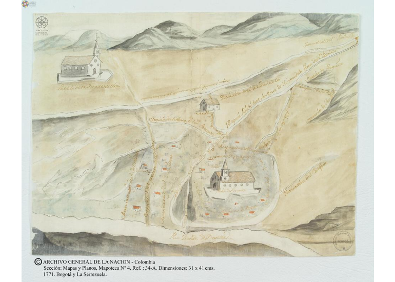
Bogotá y la Serrezuela
Mapa 1771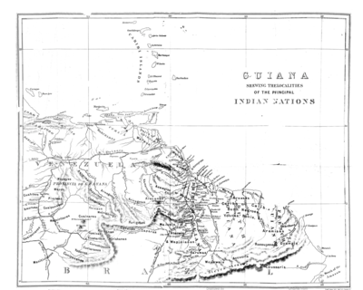
Guiana Shewing the Localities of the Principal Indian Nations
Mapa 1800 - 1899