
Pueblos
- PAME
Cita
Instituto Nacional de los Pueblos Indígenas. "Pames – Ubicación." Atlas de los Pueblos Indígenas de México. Accessed August 12, 2021. http://atlas.inpi.gob.mx/pames-ubicacion/.
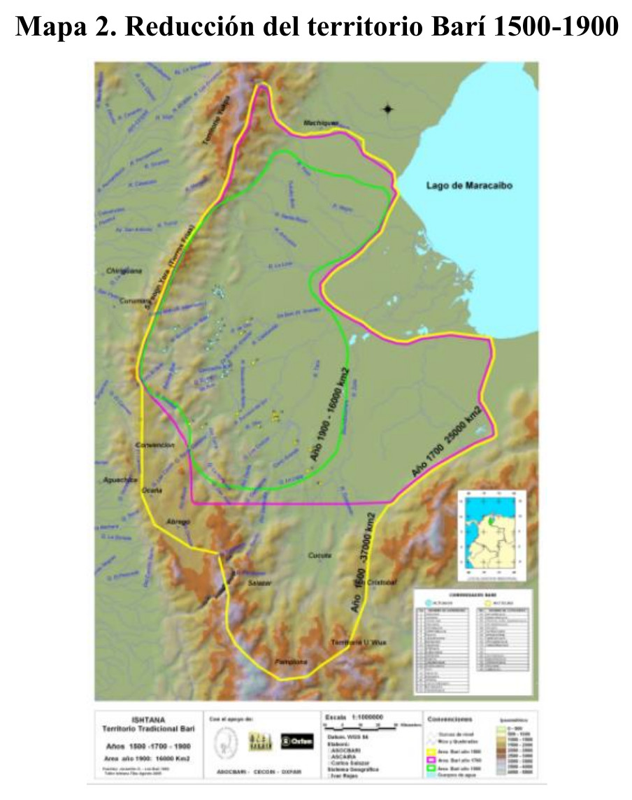
Reducción del territorio Barí 1500-1900
Mapa 1500 - 1900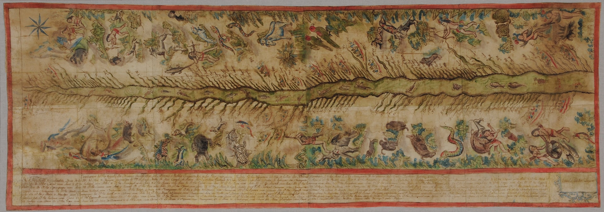
Map of the Ucayali River
Mapa 1808 - 1812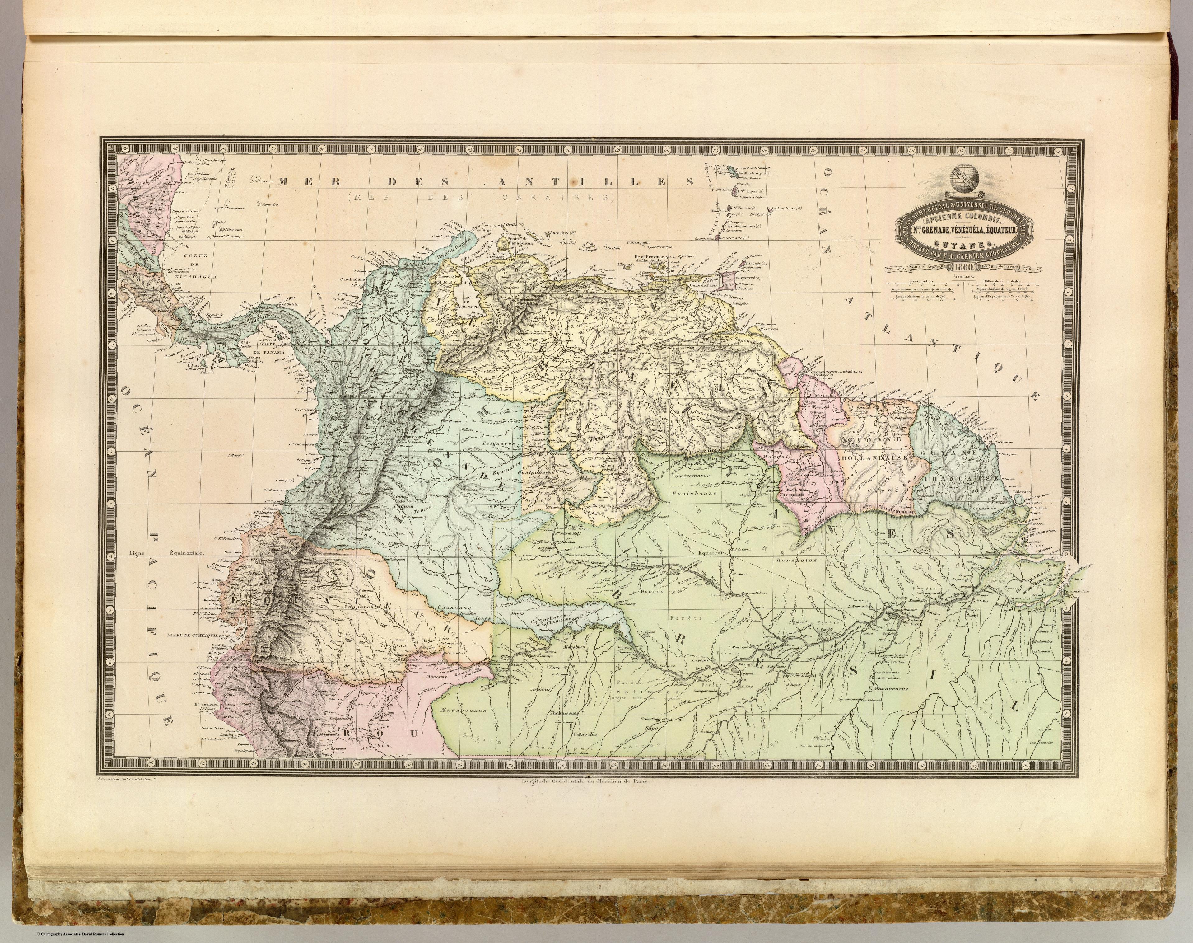
NLE. GRENADE;VENEZUELA;EQUATEUR;GUYANES.
Mapa 1860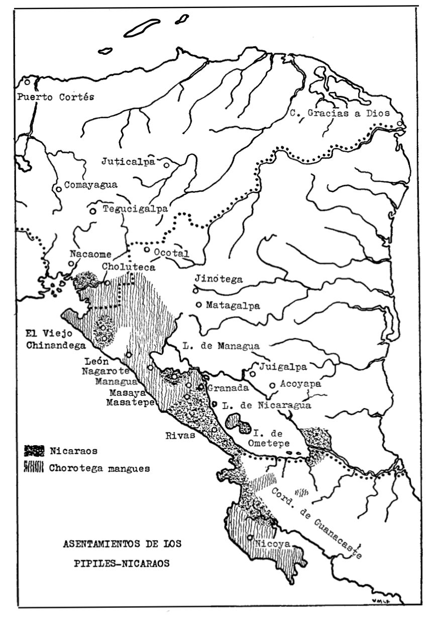
Asentamientos de los Pipiles-Nicaraos
Mapa 1972
Serie Fatherland / Padre Patria
Obra de Arte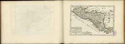
Partie du Mexique ou De La Nouvelle Espagne ou se trouxe L Audience de Guatimala.
Mapa 1748
Government map of Nicaragua : from the latest surveys ordered by President Patricio Rivas and Genl. William Walker ;executed under the supervision of the Señor Fermín Ferrer;Governor of the Western Department;1856
Mapa 1800 - 1856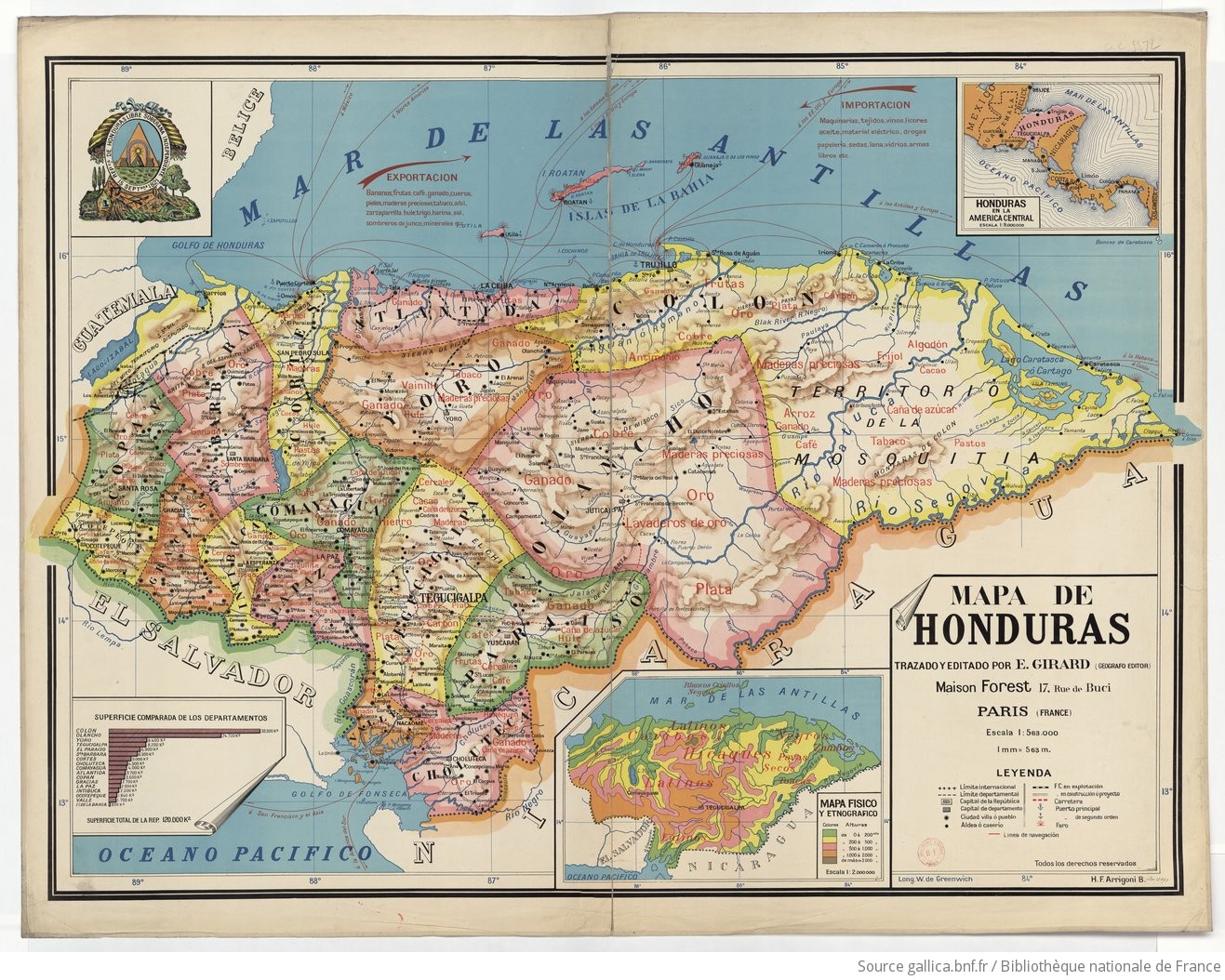
Mapa de Honduras, with Mapa Físico y Etnográfico (insert)
Mapa 1929