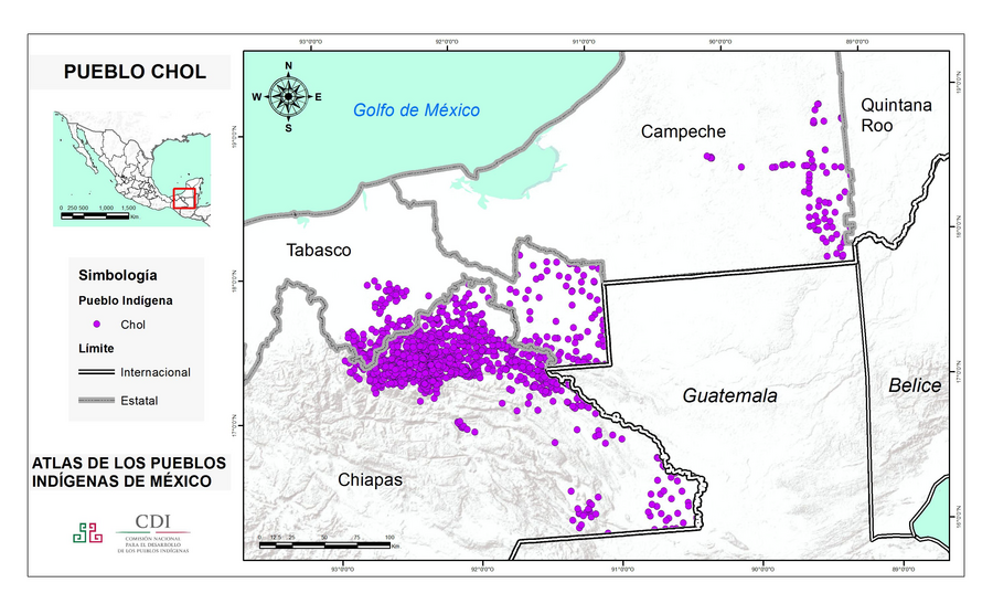
Pueblos
- CHOL
Cita
Instituto Nacional de los Pueblos Indígenas http://atlas.inpi.gob.mx/choles-ubicacion/
No Title
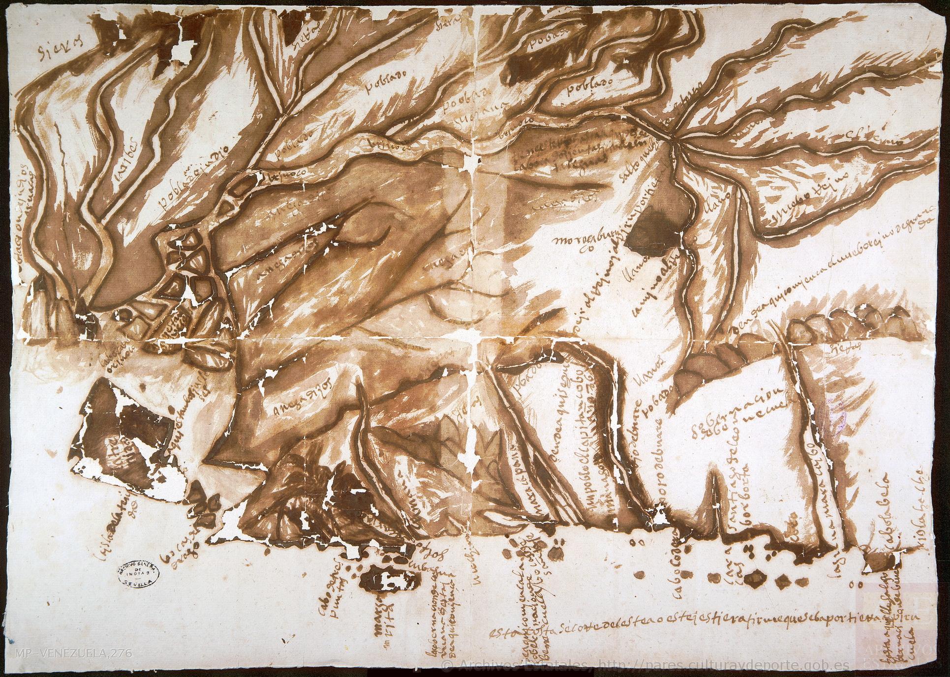
Mapa 1590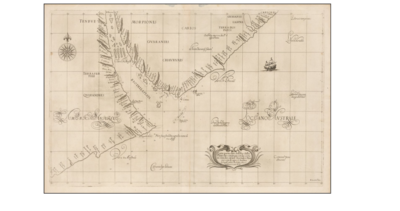
Carta particolare dell'Rio della Plata che comincia con la costa in Gradi 31 di latine Australe, è Finisce con il capo S. Andrea.
Mapa 1594 - 1596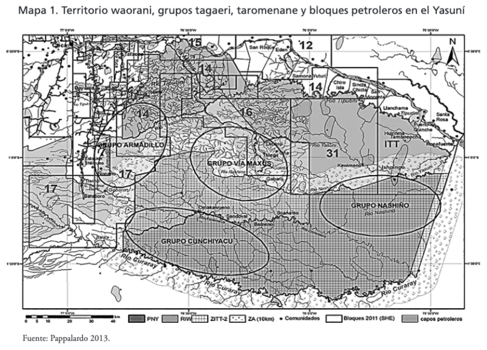
MAPA 1. TERRITORIO WAORANI;GRUPOS TAGAERI;TAROMENANE Y BLOQUES PETROLEROS EN EL YASUNÍ
Mapa 2013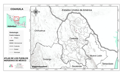
COAHUILA
Mapa 2015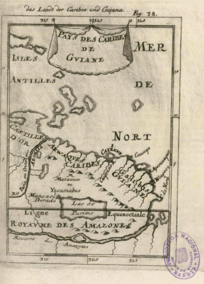
Pays des Caribes de Guiane
Mapa 1600 - 1699
Fig. 1 Map of the Guianas with schematic locations of the indigenous groups relevant to our study, based on the linguistic map of South America (http://www.muturzikin.com/cartesamerique/ 7.htm). Carib-speaking groups are indicated in yellow, Arawak-speaking groups in blue, Tupi-speaking Wayãpi in pink and the Warao-speaking group in green
Mapa 2000 - 2024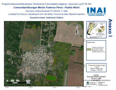
Comunidad Aborigen Misión Federico Pérez - Pueblo Wichí
Mapa 2020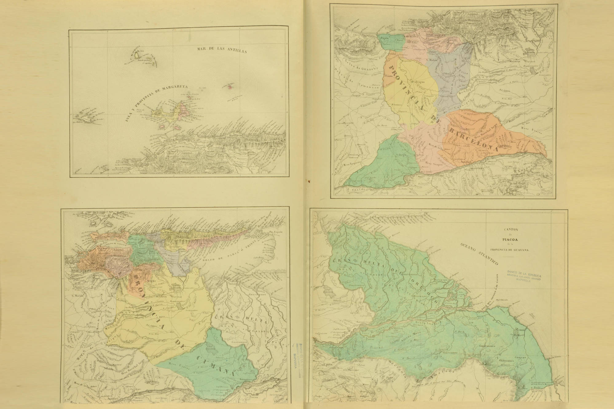
CANTON de PIACOA de la PROVINCIA DE GUAYANA
Mapa 1840