
Pueblos
- MUSKETOR
Cita
Penhallow, Samuel. The Spanish and Musketor shore and the bay of Honduras and the islands adjacent. Map. London, England, 1735. Accessed August 6, 2023. https://gallica.bnf.fr/ark:/12148/btv1b5970790d/f1.item.r=Honduras.zoom.
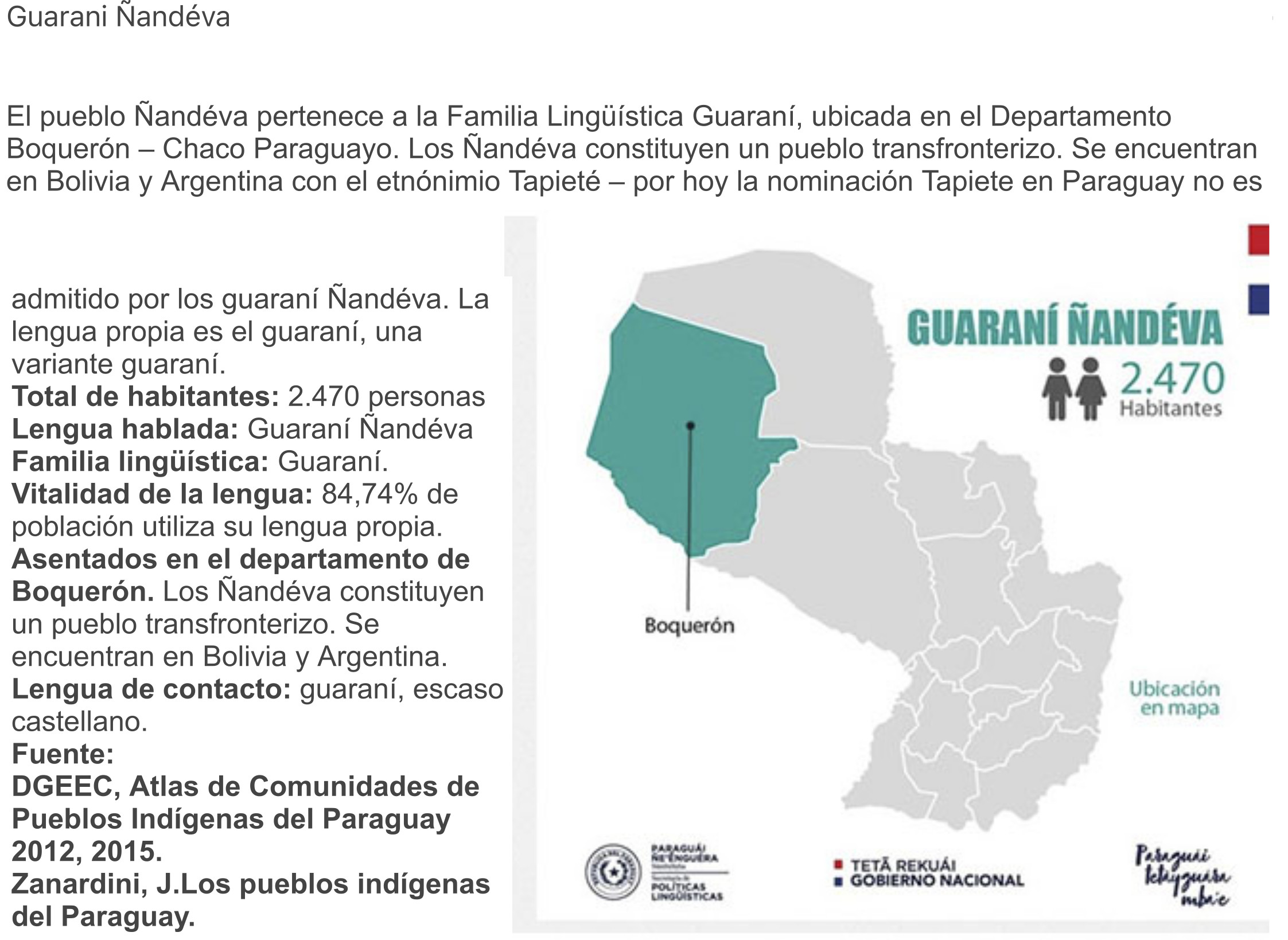
GUARANÍ ÑANDÉVA
Mapa 2015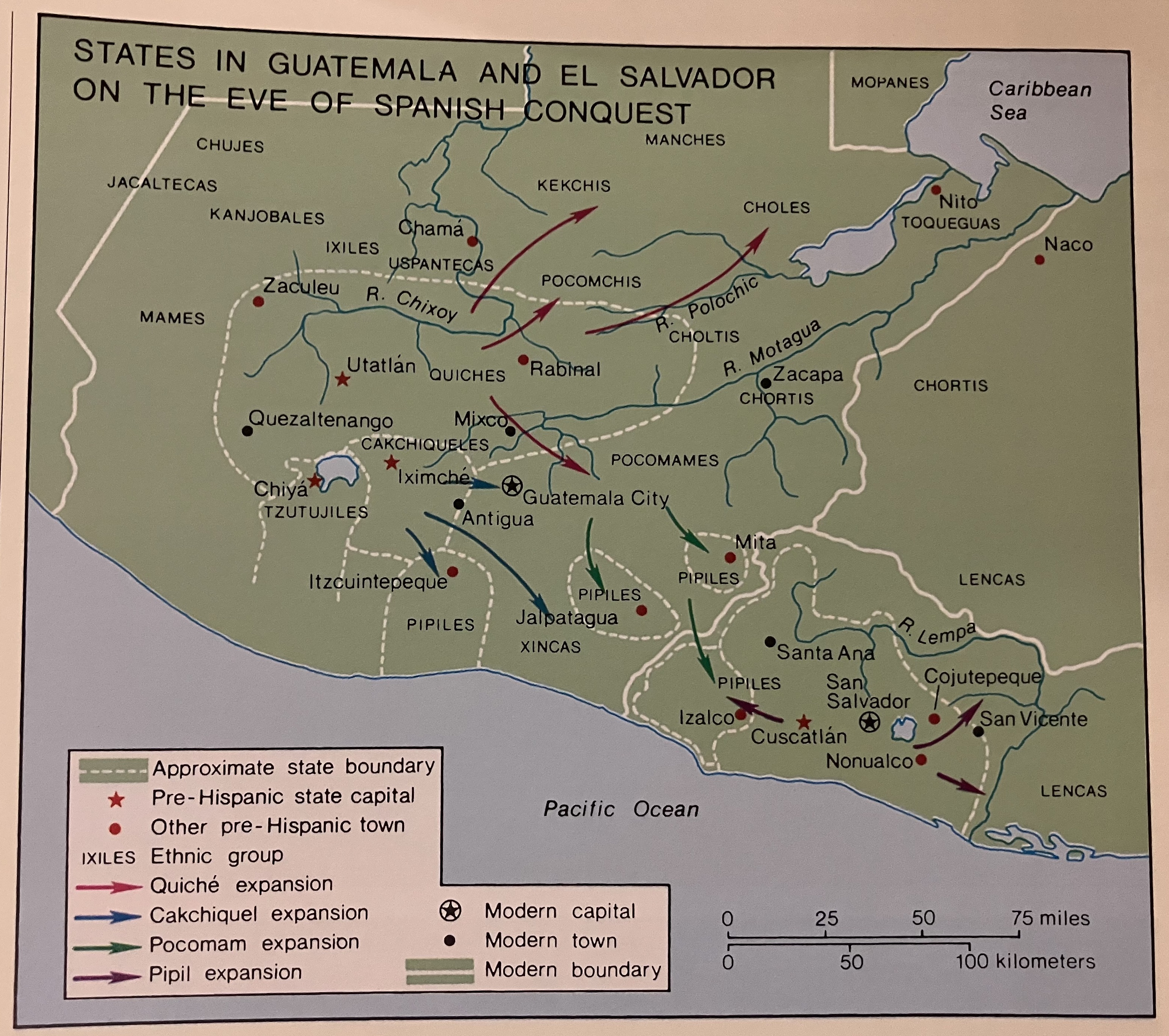
States in Guatemala and el Salvador on the Eve of Spanish Conquest.
Mapa 1524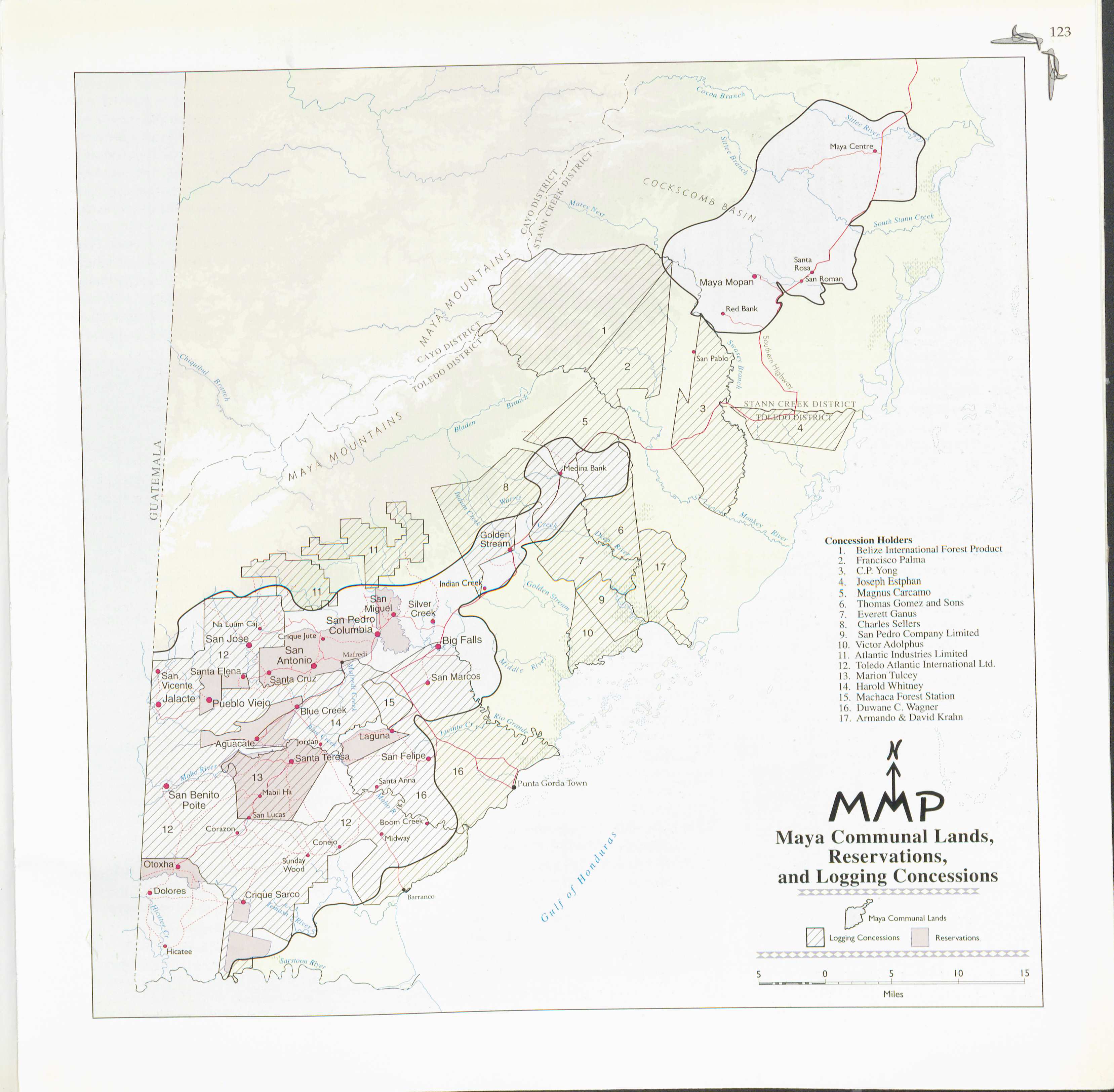
Maya Communal Lands, Reservations, and Logging Concessions
Mapa 1997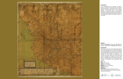
CARTA COROGRÁFICA DE JALISCO, ZACATECAS Y COLIMA
Mapa 1824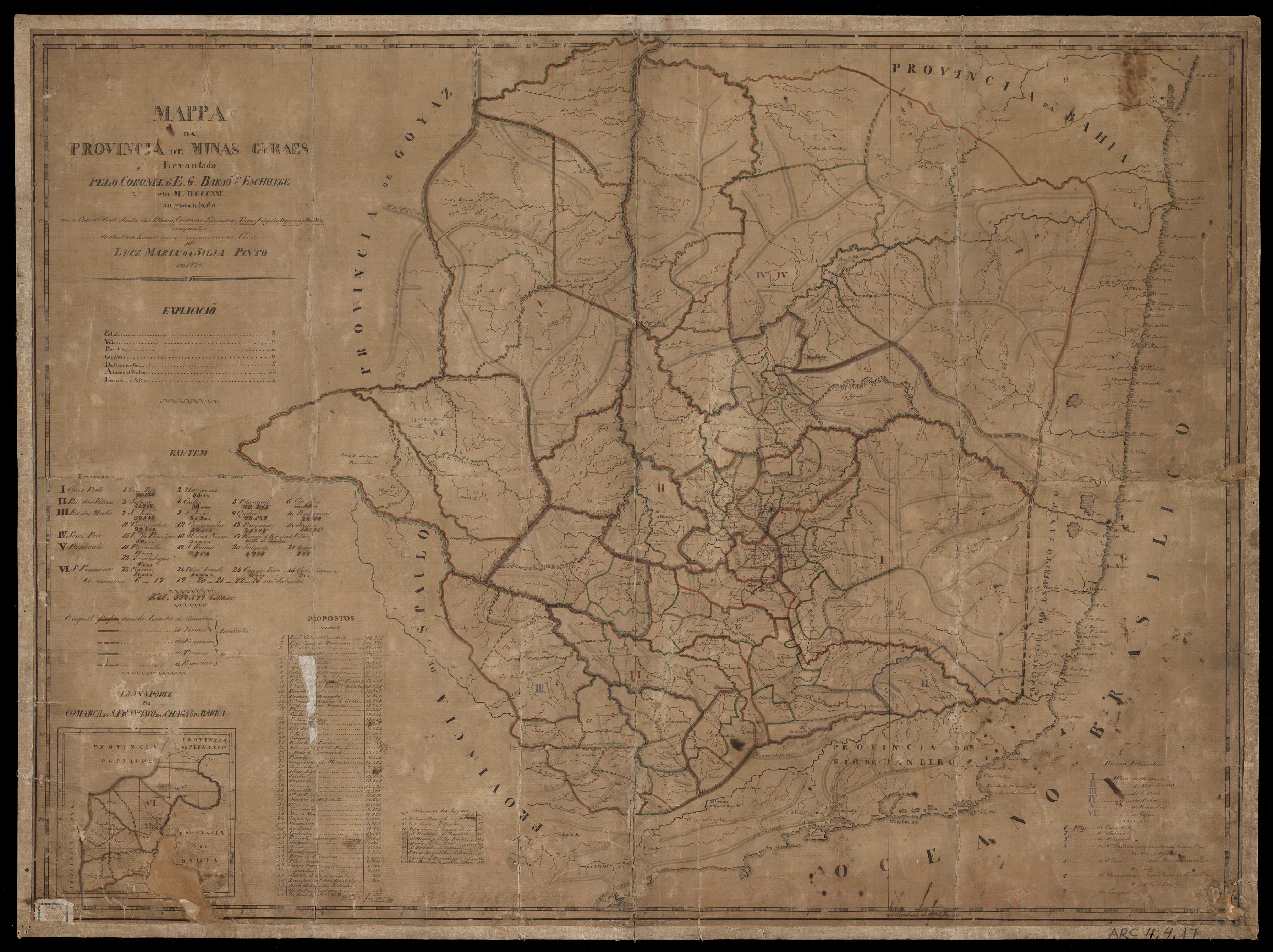
MAPPA DA PROVINCIA DE MINAS GERAES
Mapa 1826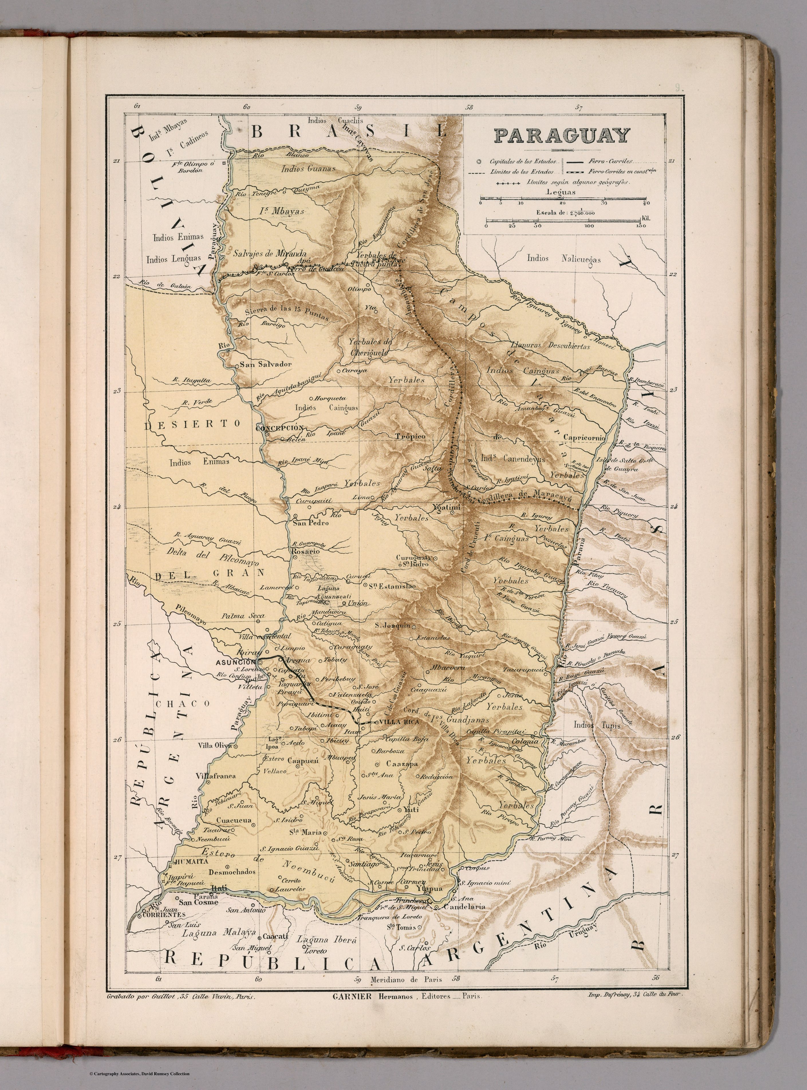
PARAGUAY
Mapa 1885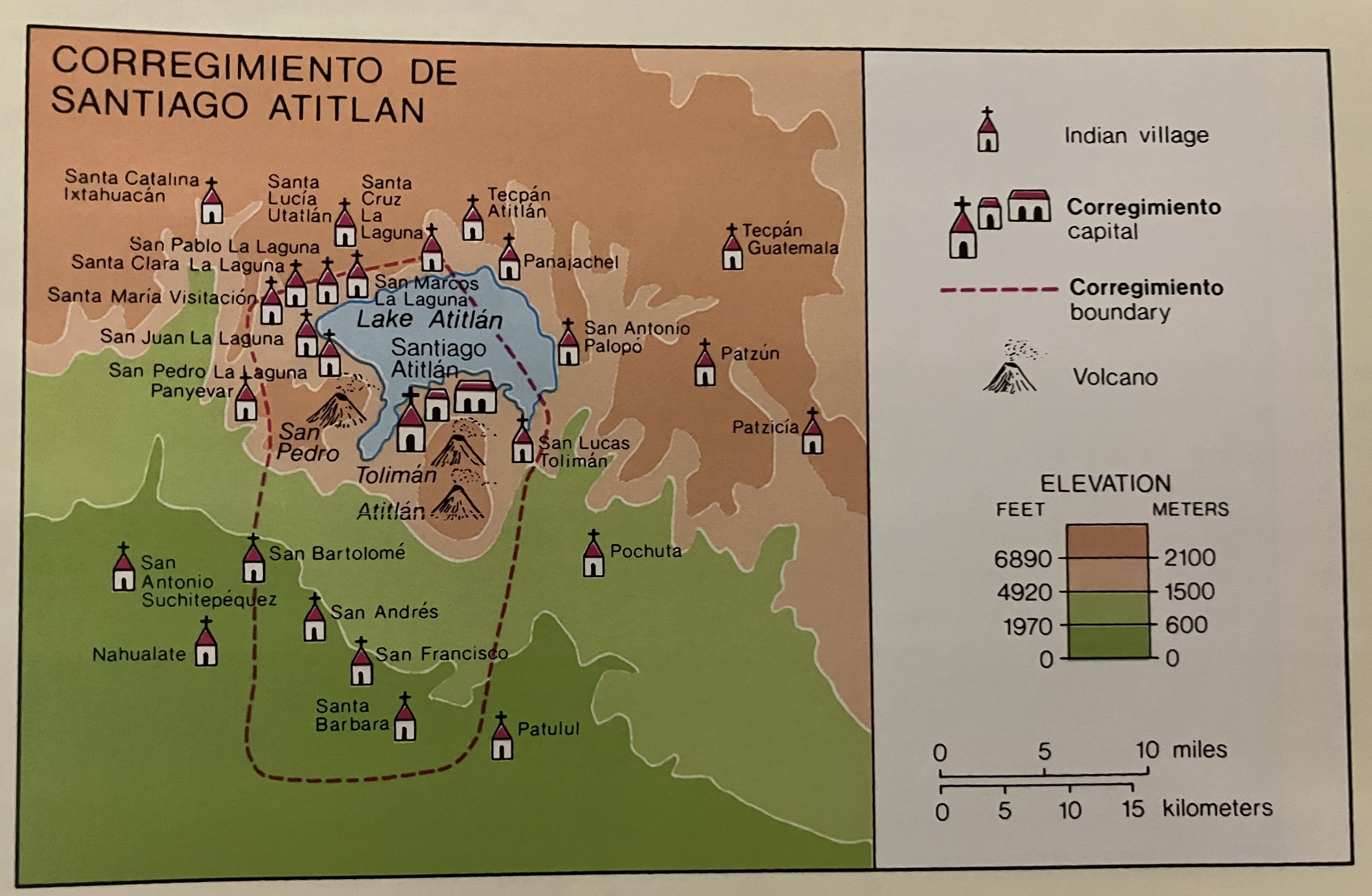
Corregimiento de Santiago Atitlan
Mapa 1550 - 1580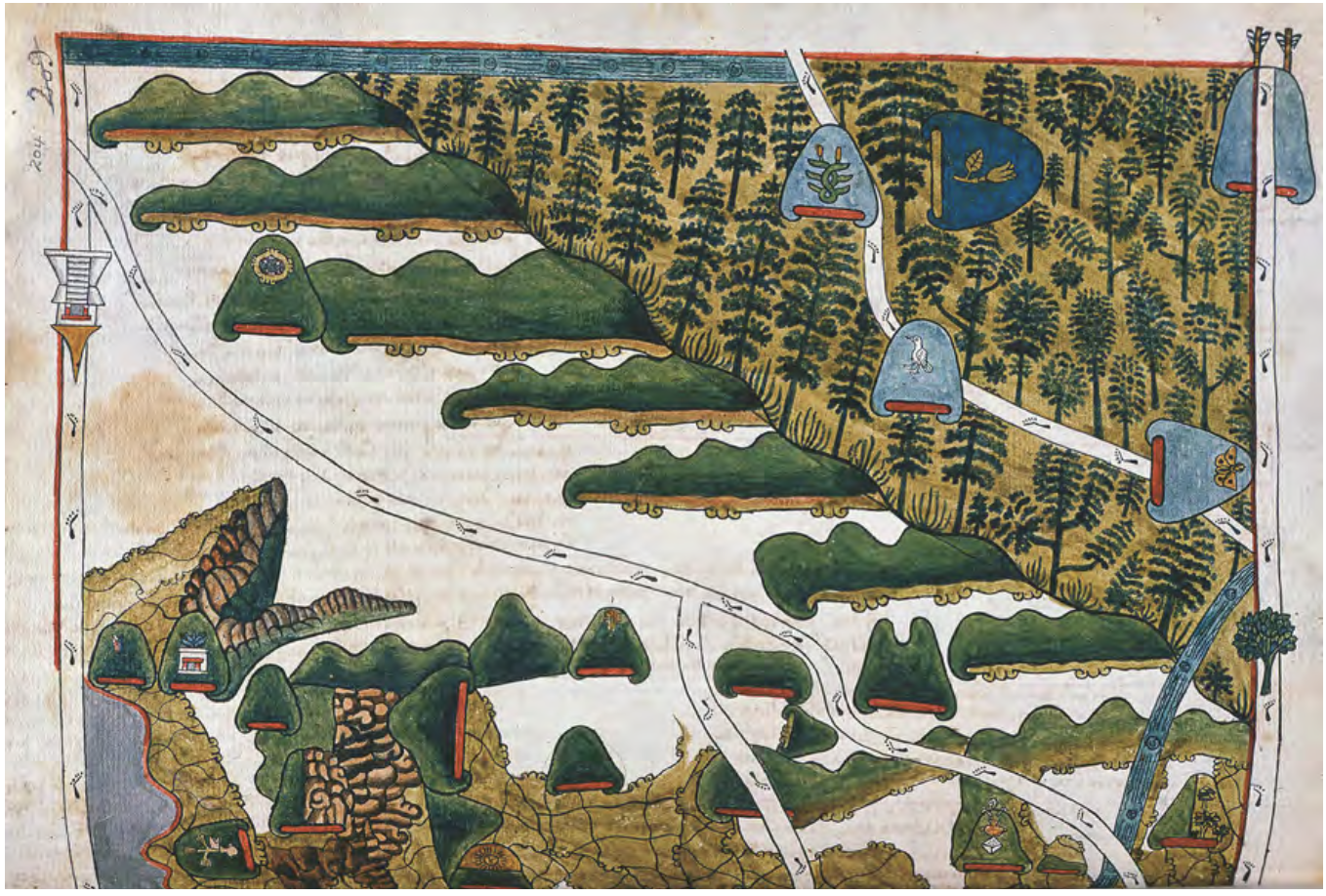
MAPA DE TEPETLAOZTOC
Mapa 1500 - 1599