Pueblos
- GARIFUNA
Cita
Davidson, William V. Ethnic Geography of Honduras, 2001: Tables and Maps based on the National Census. Memphis, TN, 2011. PDF. http://williamvdavidson.com/pdf/Ethnic-Geography-of-Honduras-2001-Davidson.pdf
Geographisch-statistische und historische Charte von Guyana.
Mapa 1800 - 1899
A NEW MAP OF BRAZIL, COMPILED FROM THE LATEST Government & other Authentic Surveys.
Mapa 1866
Carte de la Moskitie oú se fonde la Neustrie
Mapa 1830
Cùst, van, Brasilia
Mapa 1600 - 1699
Mapa de las regiones de Neiva, Timaná, Plata y Caloto, en la vertiente izquierda del Magdalena
Mapa 1777
Location of Nahuat Area on Gulf Coast Plain
Mapa 1969
MAPA 1. TERRITORIOS DE LOS GRUPOS HUAORANI AL TIEMPO DE CONTACTO
Mapa 1958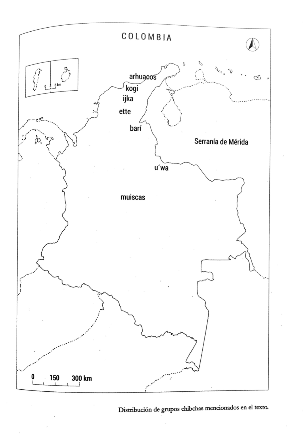
DISTRIBUCION DE GRUPOS CHIBCHAS MENCIONADOS EN EL TEXTO
Mapa 2019