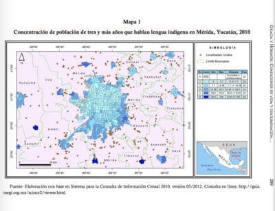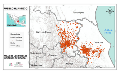
Pueblos
- MAYA
Cita
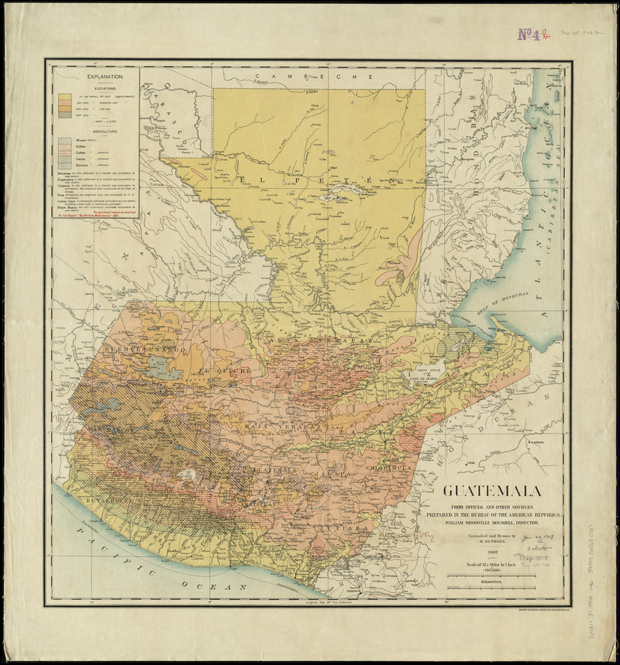
Hendges, M. Guatemala, from official and other sources. Guatemala [agriculture]. Prepared in the Bureau of the American Republics;compiled and drawn by M. Hendges. 1902. Norman B. Leventhal Map Center Collection. G4811.J1 1902 .H46 Accessed June 19 2023. https://collections.leventhalmap.org/search/commonwealth:4m90fj93v
![O impossível [Lo imposible]
Museo de Arte Moderna de Río de Janeiro
Donación del artista](https://dnet8ble6lm7w.cloudfront.net/art_sm/ABRA030.png)