Pueblos
- EMERILLONS
- GALIBIS
- KIRIKIRISCOTAS
- OYAMPIS
- PALENAUES
Cita
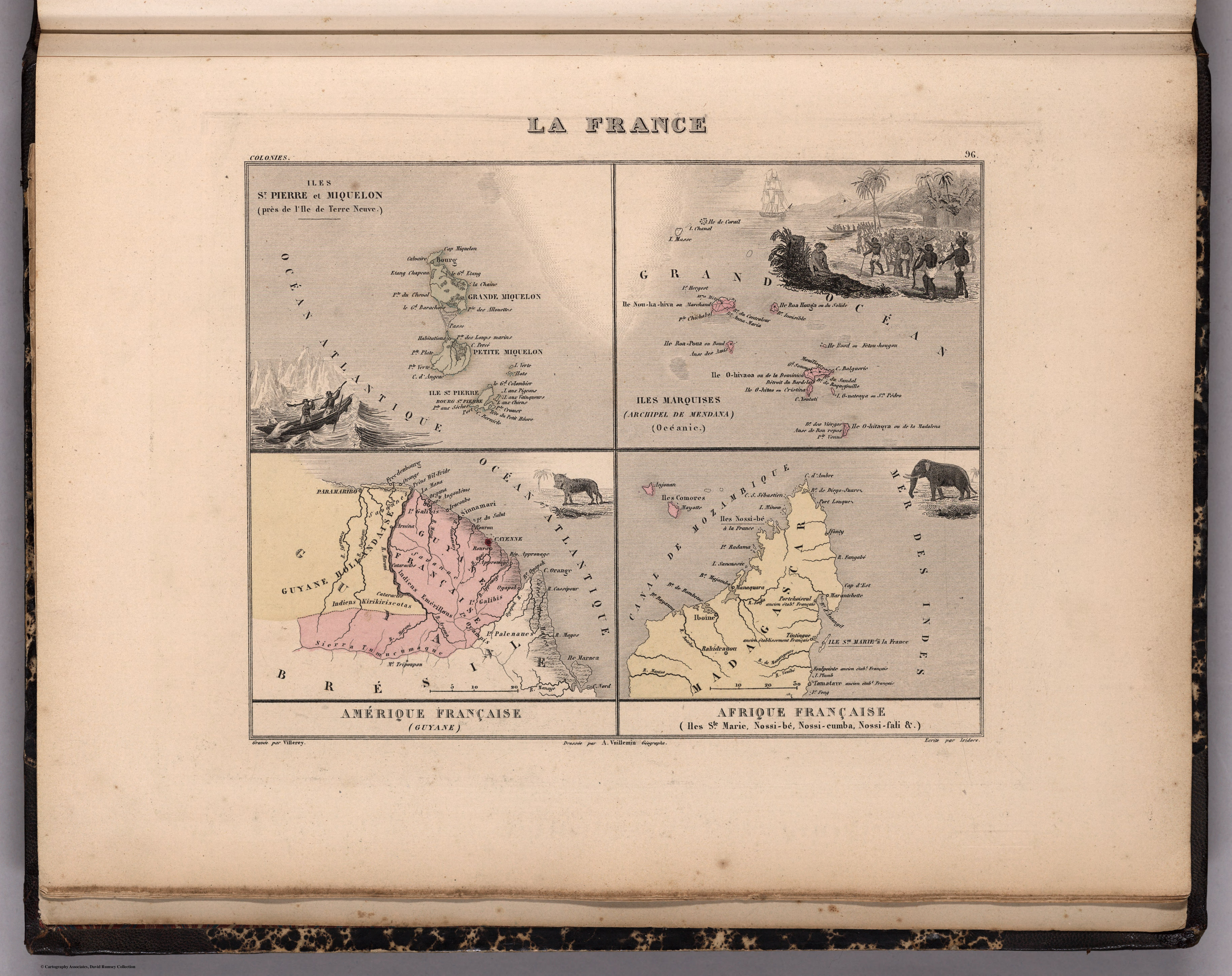
Iles St. Pierre et Miquelon. Iles Marquises. Guyane. Iles Ste. Marie, Nossi-be, Nossi-cumb... David Rumsey Map Collection. Accessed, July 5, 2023. https://www.davidrumsey.com/luna/servlet/detail/RUMSEY~8~1~269248~90043150:Iles-St--Pierre-et-Miquelon--Iles-M