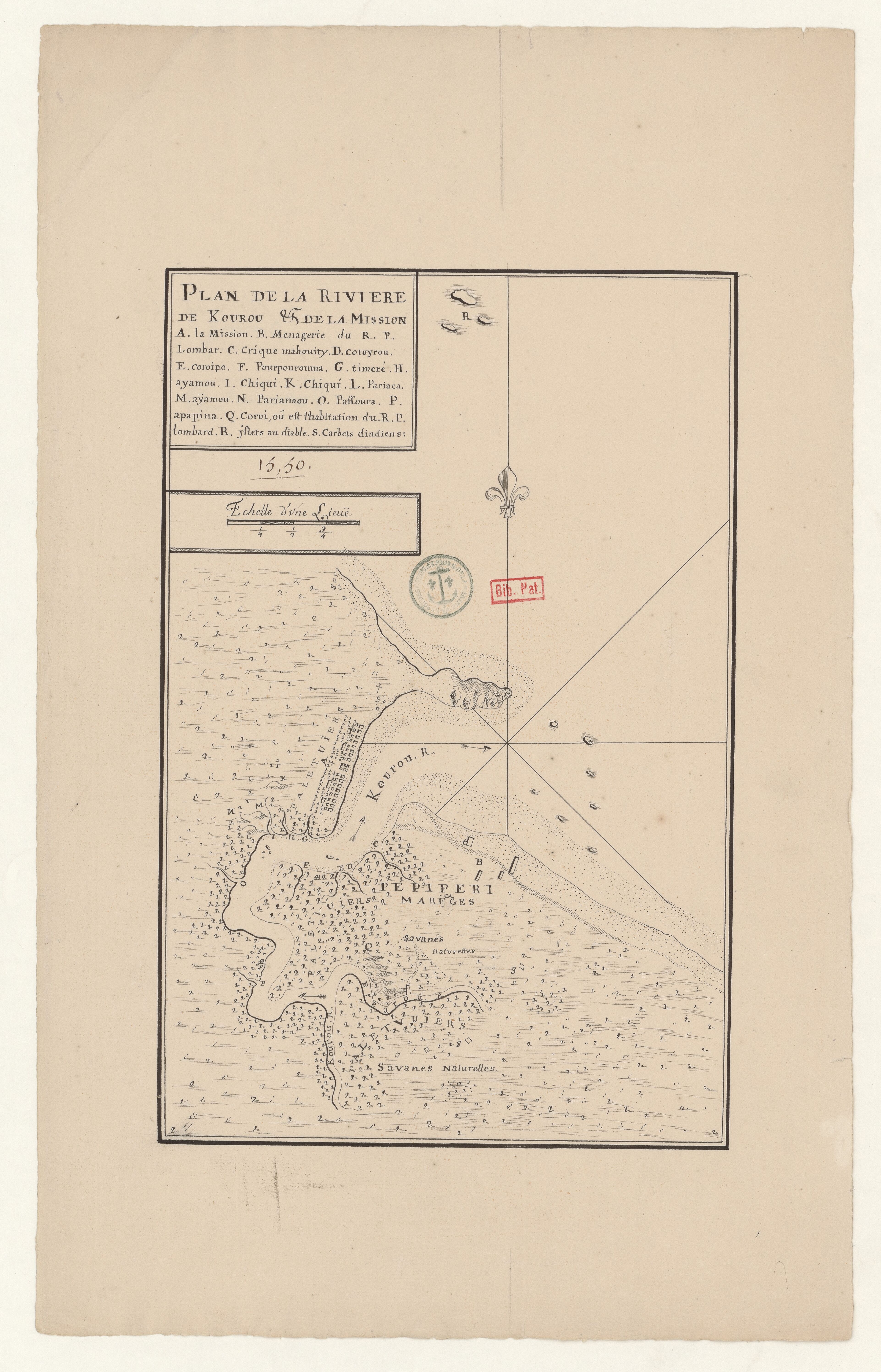
Dispossesions in the Americas

Dispossesions in the Americas

  • Inicio
  • Explorar
  • Autores
  • Sobre
  • Arte
  • Cuerpos
  • Planes de Estudio
  • Herencia Cultural
  • Mapas
  • Territorios
Volver a Explorar

Leyendo en Inglés

Mapa 1817

Carte réduite des Côtes de la Guyane comprises entre les Bouches de la Rivière des Amazones et celles du Maroni. D'après des Plans levés par les Ingénieurs Français et Portugais.

  • VICECOUNT DEBOUCHAGE;DEPOT GENERAL DE LA MARINE

Publicado: 1817

  • Descargar Imágen
  • Descargar Imágen
Mapa 1817

Carte réduite des Côtes de la Guyane comprises entre les Bouches de la Rivière des Amazones et celles du Maroni. D'après des Plans levés par les Ingénieurs Français et Portugais.

  • VICECOUNT DEBOUCHAGE;DEPOT GENERAL DE LA MARINE

Publicado: 1817

  • Descargar Imágen

Pueblos

  • ARAMICHAUX
  • CAICOUCHIENNES
  • EMERILLONS
  • ROUKOUYENES

Citas

"Carte réduite des Côtes de la Guyane comprises entre les Bouches." Gallica. Last modified: November 20, 2019. Accessed, June 21, 2023. https://gallica.bnf.fr/ark:/12148/btv1b10567558v

  • Descargar Imágen

Artículos Relacionados

Terra Indígena Rio Branco (do Itanhaém)

Terra Indígena Rio Branco (do Itanhaém)

Mapa 2011
How Rivers Think [Cómo piensan los ríos]

How Rivers Think [Cómo piensan los ríos]

Obra de Arte
The Spanish and Musketor shore and the bay of Honduras and the islands adjacent

The Spanish and Musketor shore and the bay of Honduras and the islands adjacent

Mapa 1735
Carte des environs de Cap de Nord

Carte des environs de Cap de Nord

Mapa 1774
A Map of the United and Independant Provinces of Venezuela and New Grenada.

A Map of the United and Independant Provinces of Venezuela and New Grenada.

Mapa 1800 - 1899
FAMILIAS LINGUISTICAS Y LENGUAS INDIGENAS - PRIMERA REGION: COSTA PACIFICA

FAMILIAS LINGUISTICAS Y LENGUAS INDIGENAS - PRIMERA REGION: COSTA PACIFICA

Mapa 1989
PUEBLO MAM

PUEBLO MAM

Mapa
Totocanapan: Approximate Extension in Ancient and Recent Times

Totocanapan: Approximate Extension in Ancient and Recent Times

Mapa 1940

Despojos en las Américas

Un Proyecto de

University of Pennsylvania

Copyright 2024

Con el apoyo de

Mellon Foundation

Diseño y Desarrollo del Sitio

Element 84

Créditos Artísticos

“Carte réduite des Côtes de la Guyane comprises entre les Bouches.” Gallica. Last modified: November 20, 2019. Accessed, June 21, 2023. https://gallica.bnf.fr/ark:/12148/btv1b10567558v

Páginas del Sitio

  • Inicio
  • Explorar
  • Autores
  • Sobre
  • Arte
  • Cuerpos
  • Planes de Estudio
  • Herencia Cultural
  • Mapas
  • Territorios