Pueblos
- YUKPA
Cita
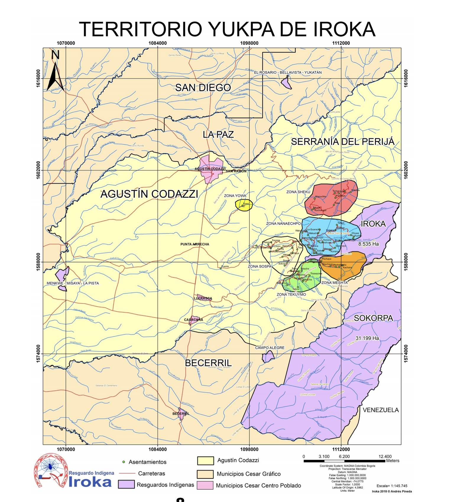
Pineda, Andrés. Territorio Yukpa de Iroka. Map. Resguardo Indígena Iroka, 2018. Accessed June 17, 2021. https://www.mineducacion.gov.co/1759/articles-378922_recurso_1.pdf
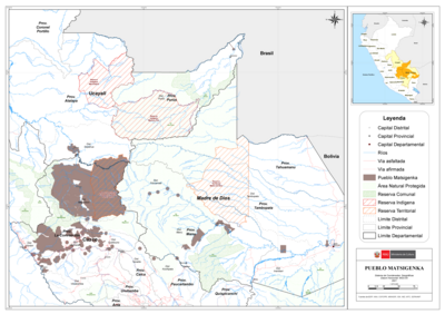
PUEBLO MATSIGENKA
Mapa 2021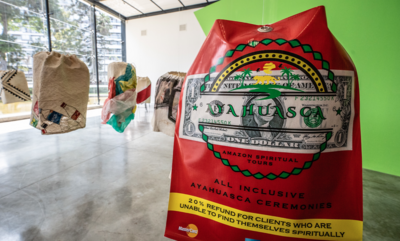
Lo que el progreso nos dejó
Obra de Arte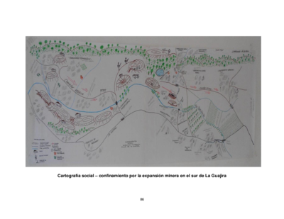
Cartografía social – confinamiento por la expansión minera en el sur de La Guajira
Mapa
RESGUARDOS Y TERRITORIOS INDIGENAS EN COLOMBIA
Mapa 2015
A New Chart of the Coast of Brazil from the Banks of St. Roque, to the Island of St. Sebastian;with the Islands and Soundings in the Offing
Mapa 1794
PUEBLO CHOL
Mapa 2020
Honduran municipios with highest percentage of each ethnic group, 2001
Mapa 2001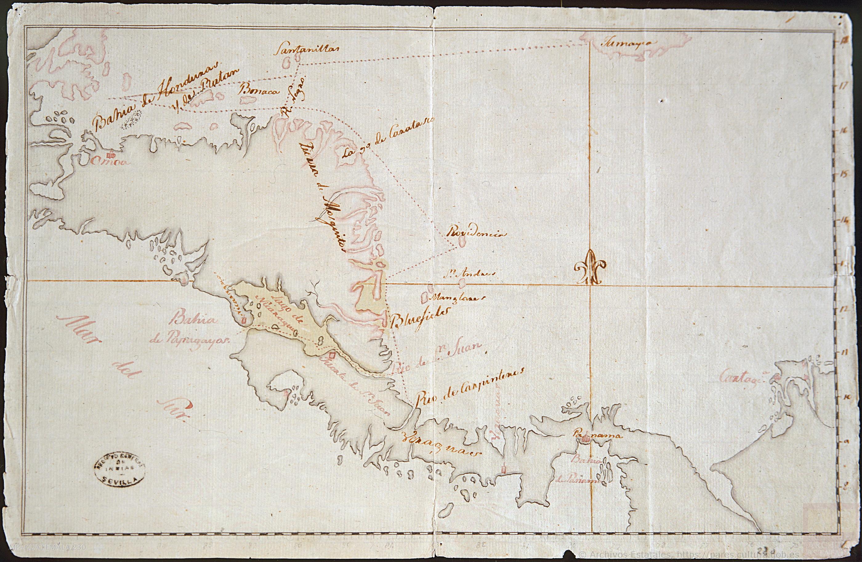
Mapa de la América Central comprendida entre el Golfo Dulce y Cartagena de Indias;por el Norte y entre la Bahía de Fonseca de Panamá por el Sur.
Mapa 1777