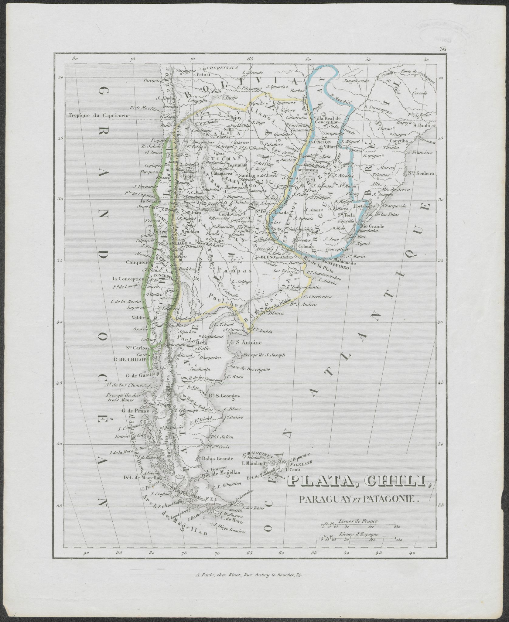
Pueblos
- PAMPAS
- PUELCHES
Cita
Monin, Charles. Plata, Chili, Paraguay Et Patagonie. Map. Paris, France: Binet, 1839. Accessed July 9, 2023. https://digital.iai.spk-berlin.de/viewer/image/630121478/1/LOG_0000/.
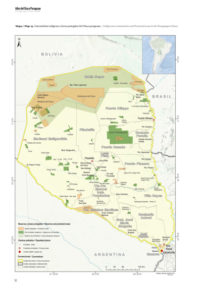
Comunidades indígenas y Áreas protegidas del Chaco paraguayo
Mapa 2020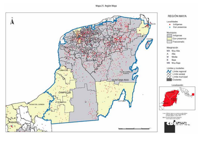
REGIÓN MAYA
Mapa 2000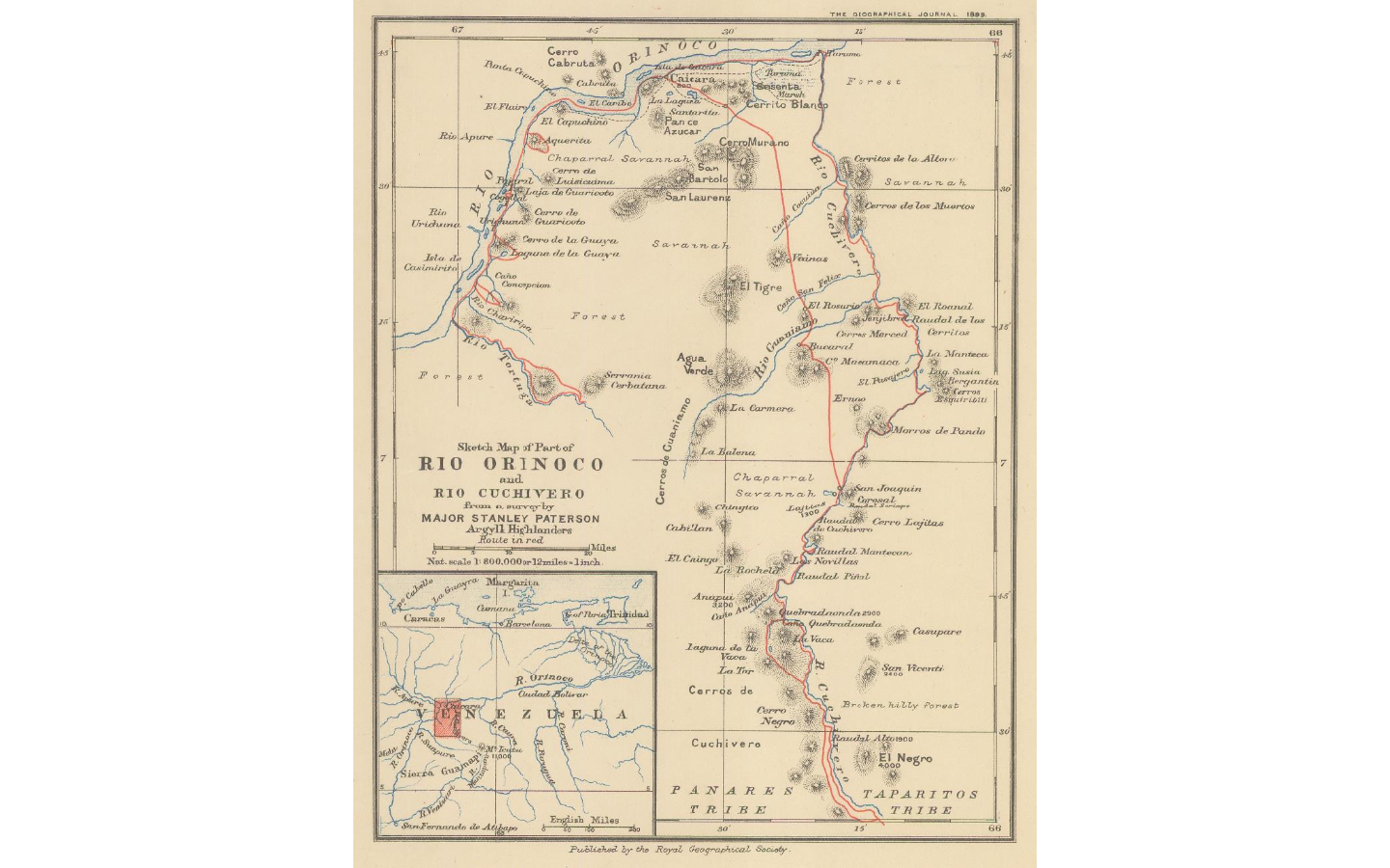
Sketch map of part of RÍO ORINOCO and RIO CUCHIVERO from a survey by MAJOR STANLEY PATERSON
Mapa 1896
South America from the latest discoveries, shewing the Spanish & Portuguese settlements according to Mr. D'Anville
Mapa 1771
Maya Communal Lands, Reservations, and Logging Concessions
Mapa 1997
Resguardo de los indios de Guateque. Plano en trazo simple de la cuchilla que pretenden los indios. Corresponde al expediente seguido por los indios con Francisco Javier del Castillo, por deslinde de tierras
Mapa 1801
Mapa 1. Ubicación geográfica del territorio Waorani
Mapa 2018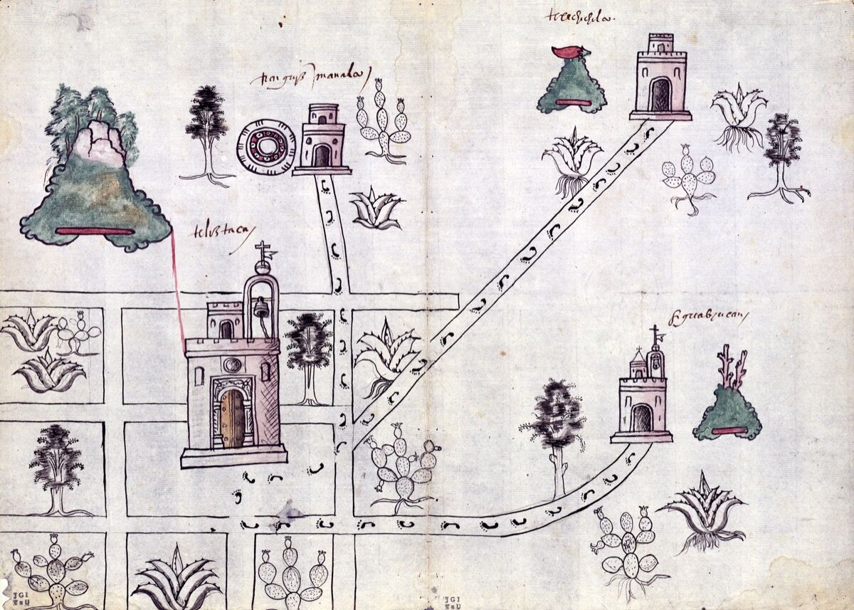
PINTURA DE GUEGUETLÁN
Mapa 1500 - 1599