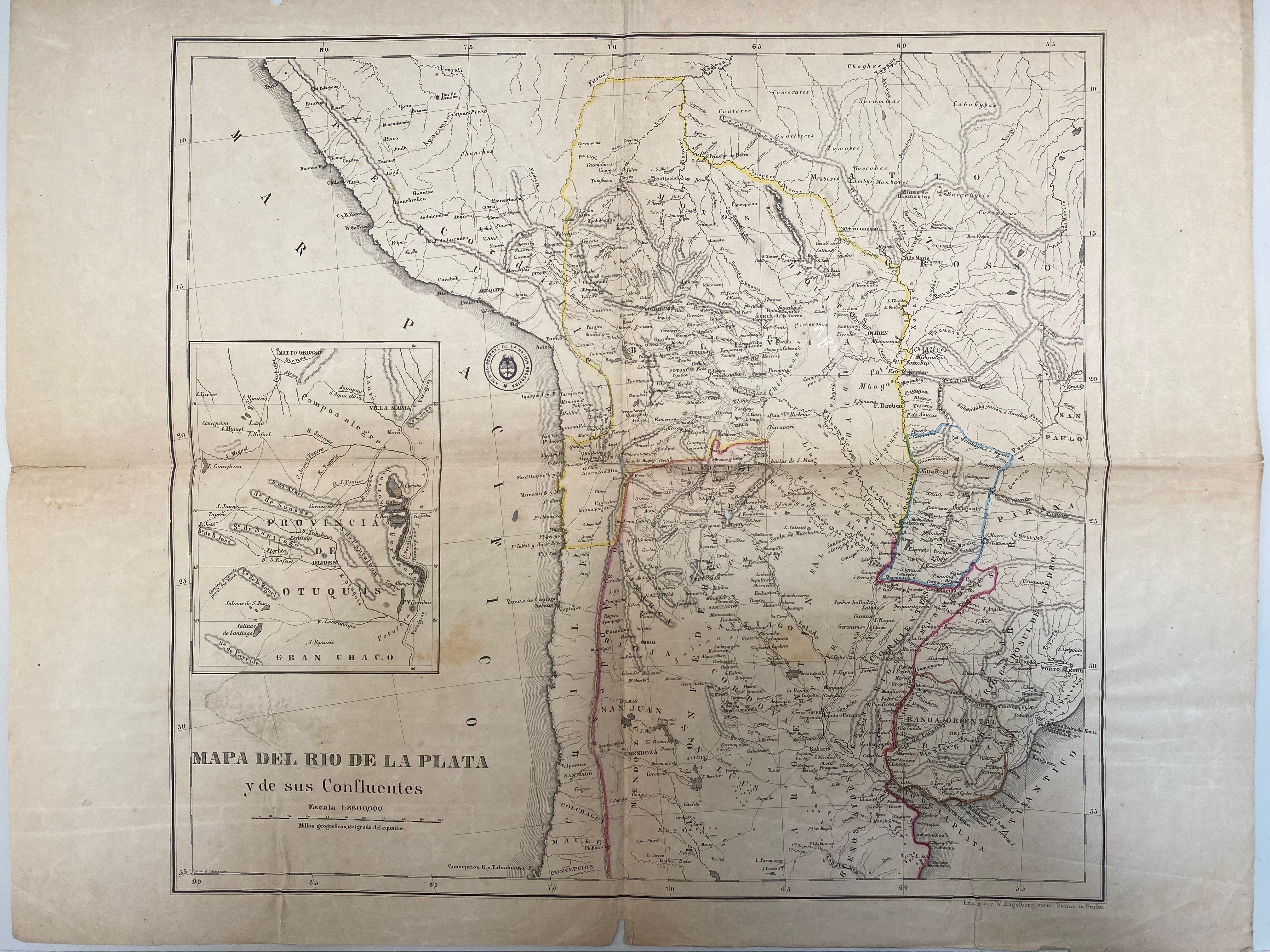
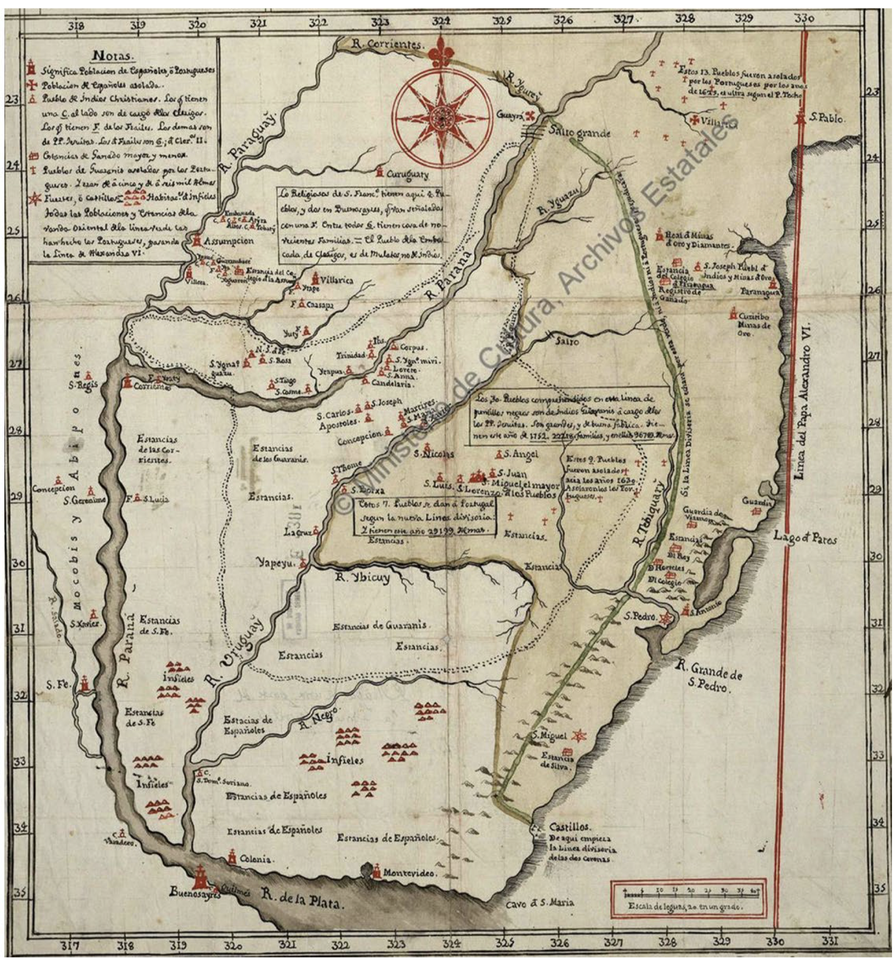
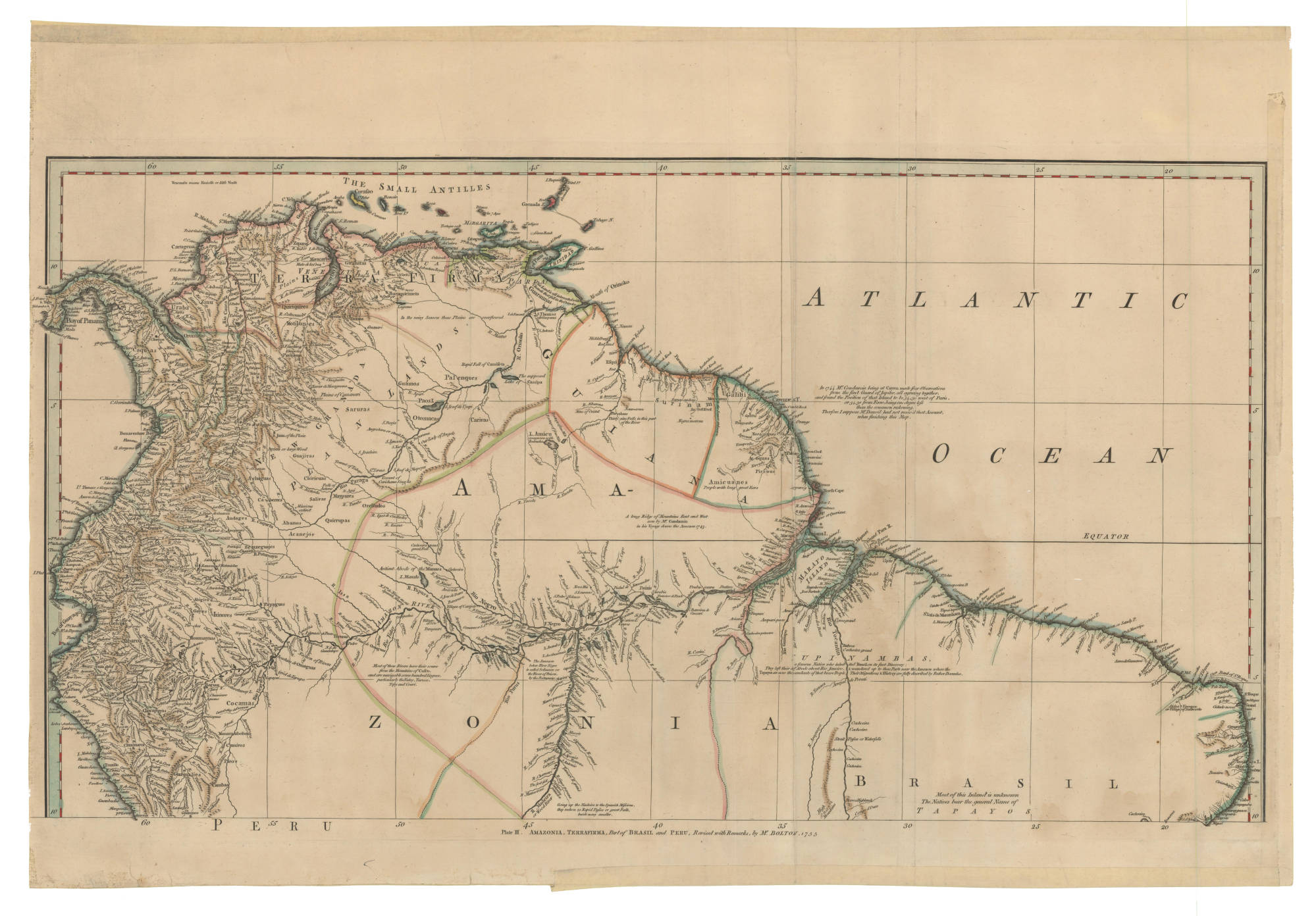
Dispossesions in the Americas

Dispossesions in the Americas

  • Inicio
  • Explorar
  • Autores
  • Sobre
  • Arte
  • Cuerpos
  • Planes de Estudio
  • Herencia Cultural
  • Mapas
  • Territorios
Volver a Explorar

Leyendo en Inglés

Mapa 1735

AMAZONIA;TERRAFIRMA;Part of BRASIL and PERÚ

  • BOLTON;HERBERT EUGENE

Publicado: 1755

  • Descargar Imágen
  • Descargar Imágen
Mapa 1735

AMAZONIA;TERRAFIRMA;Part of BRASIL and PERÚ

  • BOLTON;HERBERT EUGENE

Publicado: 1755

  • Descargar Imágen

Pueblos

  • WAYUU
  • ZAPARA
  • GUARUANA
  • PALENQUES
  • PAOS
  • GUAMOS
  • JIRAJARA
  • QUIRIQUIRES
  • BARI
  • CABERRE
  • ACHAGUA
  • JIVI
  • CIHRICOA
  • SALIVA
  • MAIPURE
  • OTOMACO
  • CARIVA
  • SARURAS
  • QUIRRUBAS
  • CARATES
  • ABANOS
  • ORELLUDOS
  • PIRIOUS
  • ACOQUAS
  • NORAGUES
  • URABA
  • ZINU
  • OROMIRAS
  • ZITARA
  • ANDARIEL
  • CAQUAS
  • GALIBIS
  • MERCIOUS
  • AMICUANES
  • EFQUIBI
  • ANDAGES
  • ANDAJIES
  • ACANEJOS
  • IXINORES
  • ZENZEGUAJES
  • PAYAGUAS
  • MAYORUNAS
  • GAYES
  • ABIGIRA
  • ROAMAYNAS
  • XIBAROS
  • QUIXOS
  • GUAMALIES
  • CAMBAS
  • PIROS
  • CUNIVOS
  • MANAMABOBOS
  • COCAMAS
  • TAPAYOS
  • UPINAMBAS

Cita

Bolton, Herbert Eugene. "Plate III. Amazonia, Terrafirma, Part of Brasli and Peru." Map. 1755. Accessed February 5, 2023. https://babel.banrepcultural.org/digital/collection/p17054coll13/id/7/rec/64.

  • Descargar Imágen

Leyendo en Portugués

Mapa 1735

AMAZONIA;TERRAFIRMA;Part of BRASIL and PERÚ

  • BOLTON;HERBERT EUGENE

Publicado: 1755

  • Descargar Imágen

Pueblos

  • WAYUU
  • ZAPARA
  • GUARUANA
  • PALENQUES
  • PAOS
  • GUAMOS
  • JIRAJARA
  • QUIRIQUIRES
  • BARI
  • CABERRE
  • ACHAGUA
  • JIVI
  • CIHRICOA
  • SALIVA
  • MAIPURE
  • OTOMACO
  • CARIVA
  • SARURAS
  • QUIRRUBAS
  • CARATES
  • ABANOS
  • ORELLUDOS
  • PIRIOUS
  • ACOQUAS
  • NORAGUES
  • URABA
  • ZINU
  • OROMIRAS
  • ZITARA
  • ANDARIEL
  • CAQUAS
  • GALIBIS
  • MERCIOUS
  • AMICUANES
  • EFQUIBI
  • ANDAGES
  • ANDAJIES
  • ACANEJOS
  • IXINORES
  • ZENZEGUAJES
  • PAYAGUAS
  • MAYORUNAS
  • GAYES
  • ABIGIRA
  • ROAMAYNAS
  • XIBAROS
  • QUIXOS
  • GUAMALIES
  • CAMBAS
  • PIROS
  • CUNIVOS
  • MANAMABOBOS
  • COCAMAS
  • TAPAYOS
  • UPINAMBAS

Cita

Bolton, Herbert Eugene. "Plate III. Amazonia, Terrafirma, Part of Brasli and Peru." Map. 1755. Accessed February 5, 2023. https://babel.banrepcultural.org/digital/collection/p17054coll13/id/7/rec/64.

  • Descargar Imágen

Artículos Relacionados

A New Map of Part /of the Great River / De la Plata, /of Tucuman / and the adjacent Countries, from Buenos Ayres to Potosí

A New Map of Part /of the Great River / De la Plata, /of Tucuman / and the adjacent Countries, from Buenos Ayres to Potosí

Mapa 1716
Pueblos Indígenas y Ecosistemas Naturales en Centroamérica y el Sur de México

Pueblos Indígenas y Ecosistemas Naturales en Centroamérica y el Sur de México

Mapa 2000 - 2024
Carta inédita de la extremidad austral de América construída por el P. José Cardiel, S. J. en 1747

Carta inédita de la extremidad austral de América construída por el P. José Cardiel, S. J. en 1747

Mapa 1700 - 1750
Ethnolinguistic territories of the Californias

Ethnolinguistic territories of the Californias

Mapa 2007
Mapa De La Gobernación Del Paraguay Y Buenos Aires, Con La Línea  Divisoria De Las Tierras De España Y Portugal_1752.

Mapa De La Gobernación Del Paraguay Y Buenos Aires, Con La Línea Divisoria De Las Tierras De España Y Portugal_1752.

Mapa 1752
Plano del castillo de San Ildefonso, a orillas del río Paraguay

Plano del castillo de San Ildefonso, a orillas del río Paraguay

Mapa 1600 - 1650
Corredor del conflicto armado en territorios indígenas de la Costa

Corredor del conflicto armado en territorios indígenas de la Costa

Mapa 2020
Principales Conventos en el Siglo XVI

Principales Conventos en el Siglo XVI

Mapa 1500 - 1599

Despojos en las Américas

Un Proyecto de

University of Pennsylvania

Copyright 2024

Con el apoyo de

Mellon Foundation

Diseño y Desarrollo del Sitio

Element 84

Créditos Artísticos

Bolton, Herbert Eugene. “Plate III. Amazonia, Terrafirma, Part of Brasli and Peru.” Map. 1755. Accessed February 5, 2023. https://babel.banrepcultural.org/digital/collection/p17054coll13/id/7/rec/64.

Páginas del Sitio

  • Inicio
  • Explorar
  • Autores
  • Sobre
  • Arte
  • Cuerpos
  • Planes de Estudio
  • Herencia Cultural
  • Mapas
  • Territorios