Pueblos
- QUIJOS
- CHIQUITOS
- OREJONES
- RANCHOS O PUEBLOS DE INFIELES
Cita
Archivo General de Indias, MP-BUENOS_AIRES, 145 http://pares.mcu.es:80/ParesBusquedas20/catalogo/description/16960
PUEBLO NAHUA DE HIDALGO
Mapa 2020
Mapa de diversidad étnica
Mapa 2012
Carte du gouvernement de Cayenne avec le Nombre des habitations, le lieu ou elles sont situées et le nom de ceux a qui elles appartiennent
Mapa 1600 - 1699
Bogotá y la Serrezuela
Mapa 1771
MAPA DE SAN MATEO IXTLAHUACAN
Mapa 1500 - 1599
Empire du BRÉSIL
Mapa 1835
A draught of the Bay of Honduras and part of the Musquetto Shore by George Robertson
Mapa 1766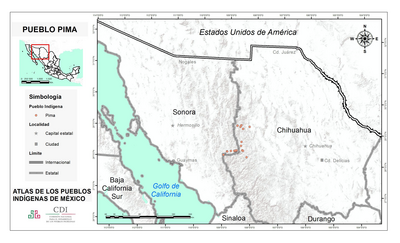
PUEBLO PIMA
Mapa 2020