Pueblos
- AROAS
Cita
Horatius, Andreas Antonius. Provincie del Para e del Maragnon. Map. Rome: Rossi, 1700. Accessed July 27, 2023. https://gallica.bnf.fr/ark:/12148/btv1b8596742d/f1.item.
Carte de la Guyana pour servir à l'Histoire Generale des Voyages.
Mapa 1757
Map representing the linguistic diversity that existed in Central America and the Gulf of Fonseca at the time of contact with the Spanish
Mapa 1522
Ritxoko / Boneca karajá
Obra de Arte
PUEBLO GUARIJIO
Mapa 2020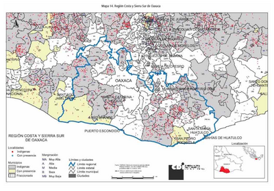
REGIÓN COSTA Y SIERRA SUR DE OAXACA
Mapa 2000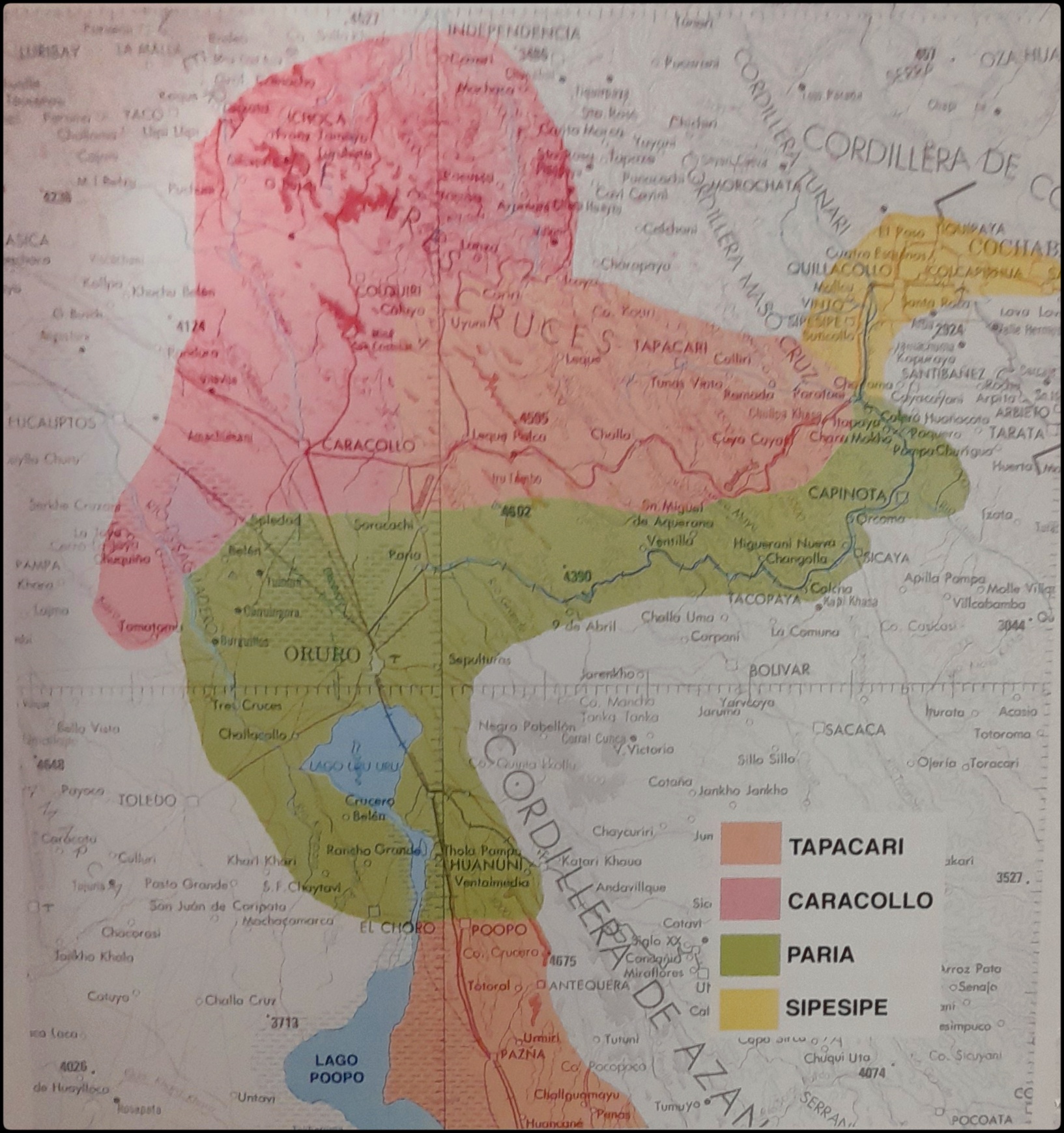
EL SEÑORÍO AYMARA DE LOS SURAS EN EL SIGLO XVI
Mapa 1500 - 1699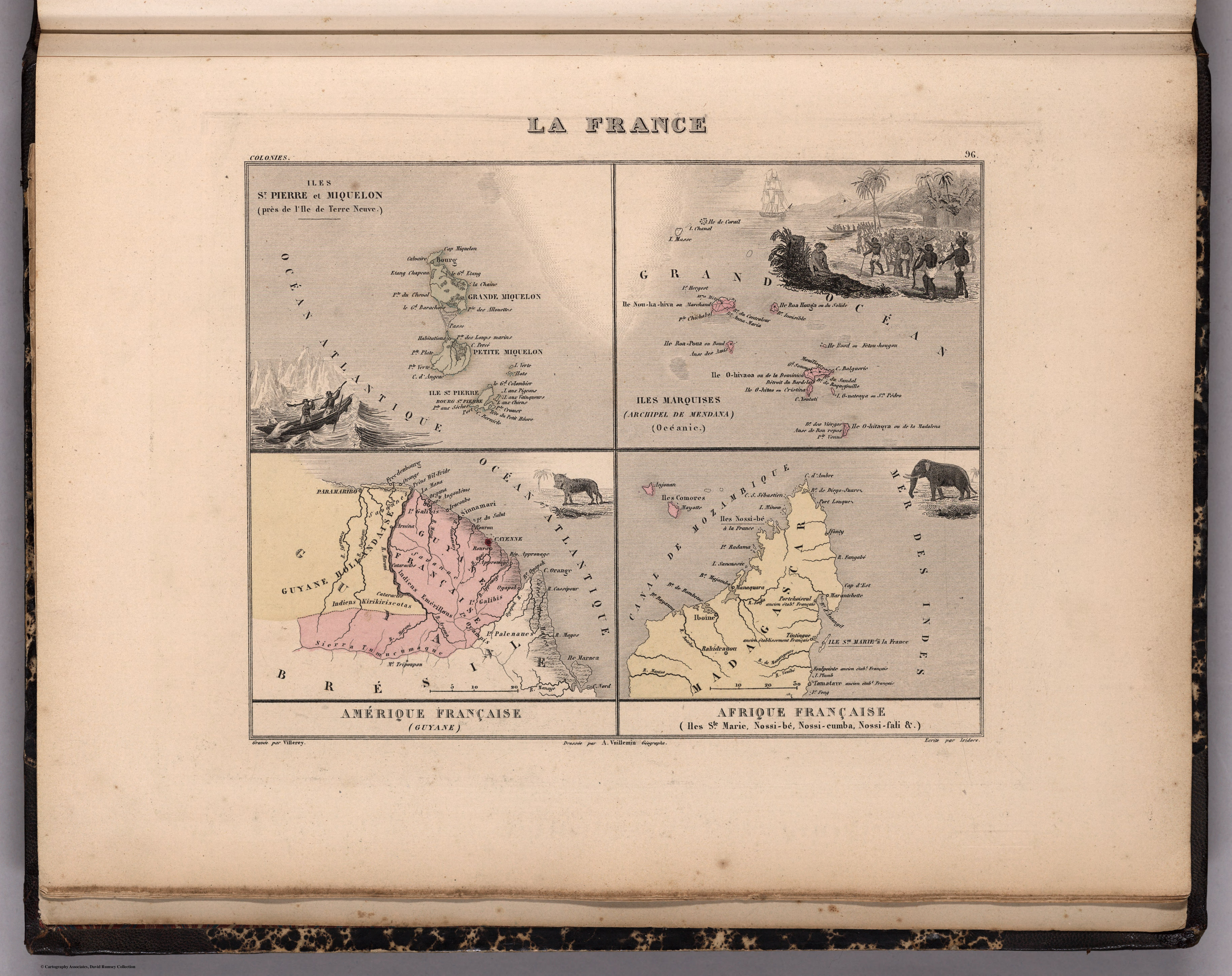
La France. Amérique Française (Guyane). Afrique Française (Illes S.te Marie, Nossi-bé, Nossi-cumba, Nossi-fali &.).
Mapa 1869![Pata Ewa’n – o coração do mundo [Pata Ewa’n – El corazón del mundo]](https://dnet8ble6lm7w.cloudfront.net/art_sm/ABRA022.png)
Pata Ewa’n – o coração do mundo [Pata Ewa’n – El corazón del mundo]
Obra de Arte