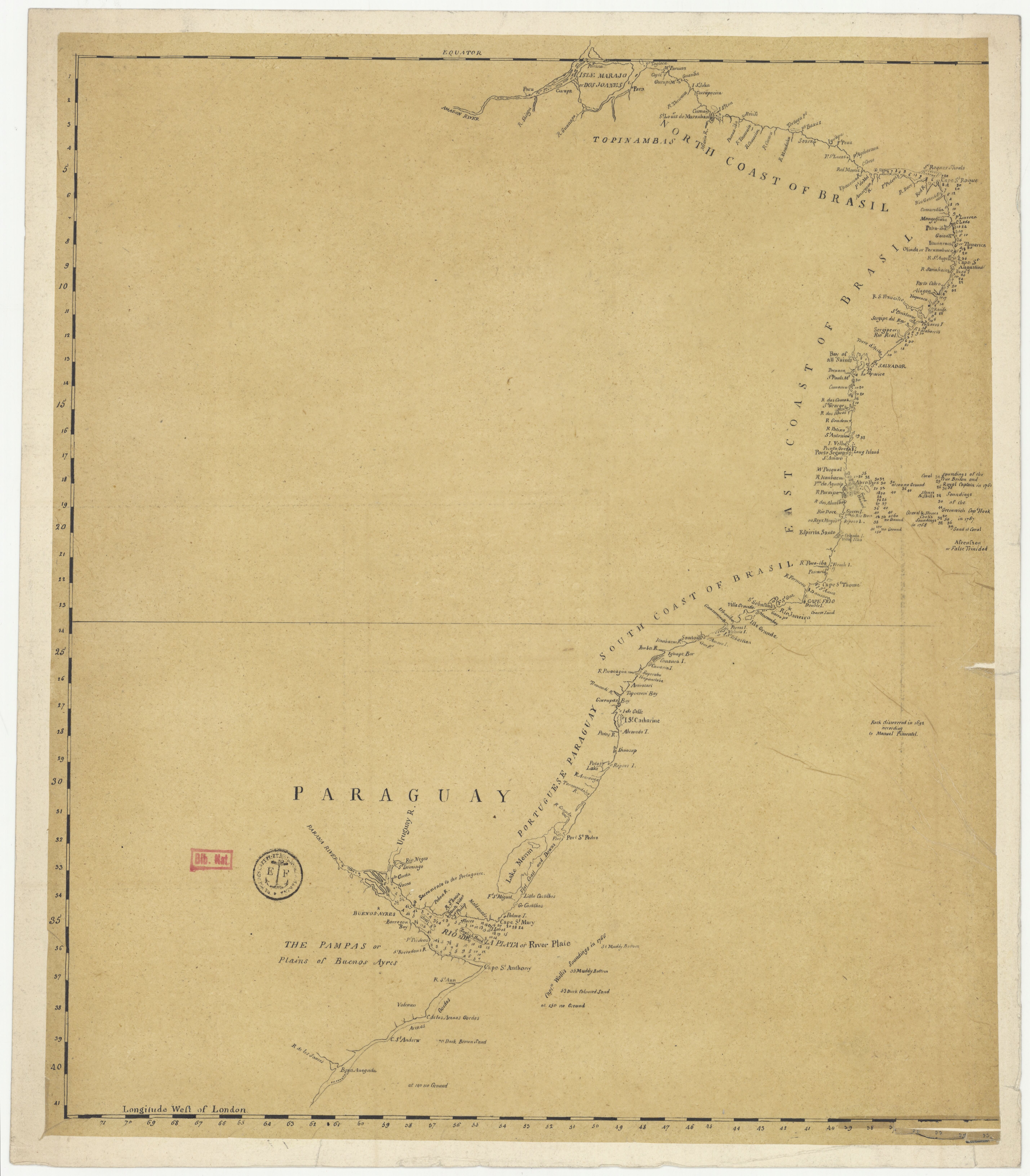
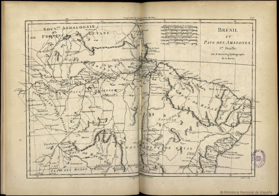
Dispossesions in the Americas

Dispossesions in the Americas

  • Inicio
  • Explorar
  • Autores
  • Sobre
  • Arte
  • Cuerpos
  • Planes de Estudio
  • Herencia Cultural
  • Mapas
  • Territorios
Volver a Explorar

Leyendo en Inglés

Mapa 1788

Brésil et Pays des Amazones

  • BONNE, RIGOBERT

Publicado: 1788

  • Descargar Imágen
  • Descargar Imágen
Mapa 1788

Brésil et Pays des Amazones

  • BONNE, RIGOBERT

Publicado: 1788

  • Descargar Imágen

Pueblos

  • ARINACOTOS
  • AMICOUANES
  • PAVANAS
  • CURINAS
  • ARAPIYUS
  • TOCANTINS
  • TOPINAMBAS
  • TAPUYAS
  • BARBADOS
  • QUIMAUS
  • OROGUATUS
  • APERAS
  • CUANARIS
  • ANAMARIS
  • GUARINUMAS
  • ABACATES
  • CURIGUERES
  • OZOANAS
  • GUARUNOS
  • ITUAHUATATES
  • CAYUBABAS
  • YTENES
  • MURES
  • GUARAYOS
  • CARIAUNAS
  • PALICOURS
  • MAYEZ

Citas

Bonne, Rigobert. "Brésil et Pays des Amazones." Map. In TitleAtlas Encyclopédique, contenant la Géographie Ancienne, et quelques cartes sur la Géographie du Moyen Age, la Geographie Moderne, et les Cartes Relatives á la Geographie Physique, by Rigobert Bonne and Nicolas Desmarest, 107. Vol. 2. Paris: Hôtel de Thou, 1788. Accessed July 11, 2023. http://bdh.bne.es/bnesearch/detalle/bdh0000000983.

  • Descargar Imágen

Artículos Relacionados

"Territorio Indígena Quitirrisí (Huétar)"

"Territorio Indígena Quitirrisí (Huétar)"

Mapa 2010
Provincia de Zacatecas

Provincia de Zacatecas

Mapa 1600 - 1699
Sketch map of part of RÍO ORINOCO and RIO CUCHIVERO from a survey by MAJOR STANLEY PATERSON

Sketch map of part of RÍO ORINOCO and RIO CUCHIVERO from a survey by MAJOR STANLEY PATERSON

Mapa 1896
CHART containing the greater part of the SOUTH SEA to the South of the LINE, with the ISLANDS dispersed thro' the same

CHART containing the greater part of the SOUTH SEA to the South of the LINE, with the ISLANDS dispersed thro' the same

Mapa 1794
MAPA 1. TERRITORIO WAORANI;GRUPOS TAGAERI;TAROMENANE Y BLOQUES PETROLEROS EN EL YASUNÍ

MAPA 1. TERRITORIO WAORANI;GRUPOS TAGAERI;TAROMENANE Y BLOQUES PETROLEROS EN EL YASUNÍ

Mapa 2013
Carte anglaise des côtes du Brésil

Carte anglaise des côtes du Brésil

Mapa 1700 - 1799
PUEBLO MAZATECO

PUEBLO MAZATECO

Mapa 2020
MAYAN SPIRITUAL SITES

MAYAN SPIRITUAL SITES

Mapa -2500 - 1520

Despojos en las Américas

Un Proyecto de

University of Pennsylvania

Copyright 2024

Con el apoyo de

Mellon Foundation

Diseño y Desarrollo del Sitio

Element 84

Créditos Artísticos

Bonne, Rigobert. “Brésil et Pays des Amazones.” Map. In TitleAtlas Encyclopédique, contenant la Géographie Ancienne, et quelques cartes sur la Géographie du Moyen Age, la Geographie Moderne, et les Cartes Relatives á la Geographie Physique, by Rigobert Bonne and Nicolas Desmarest, 107. Vol. 2. Paris: Hôtel de Thou, 1788. Accessed July 11, 2023. http://bdh.bne.es/bnesearch/detalle/bdh0000000983.

Páginas del Sitio

  • Inicio
  • Explorar
  • Autores
  • Sobre
  • Arte
  • Cuerpos
  • Planes de Estudio
  • Herencia Cultural
  • Mapas
  • Territorios