Pueblos
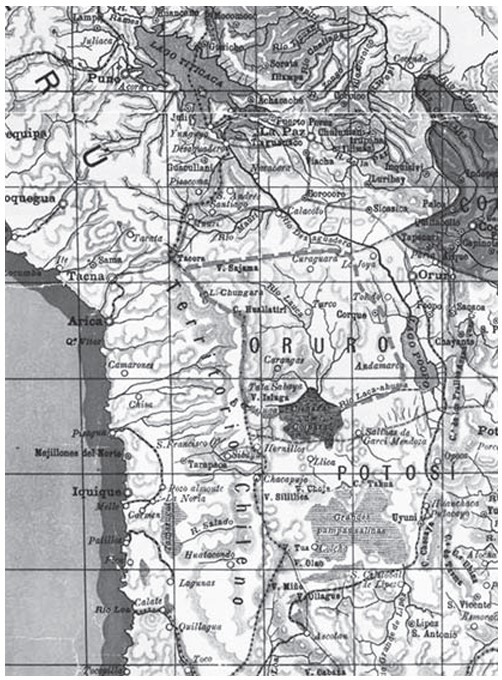
- CARANGAS
Cita
Idiáquez, E. (2000 [1894]). «Mapa Elemental de Bolivia». En: INSTITUTO GEOGRÁFICO MILITAR, La Paz
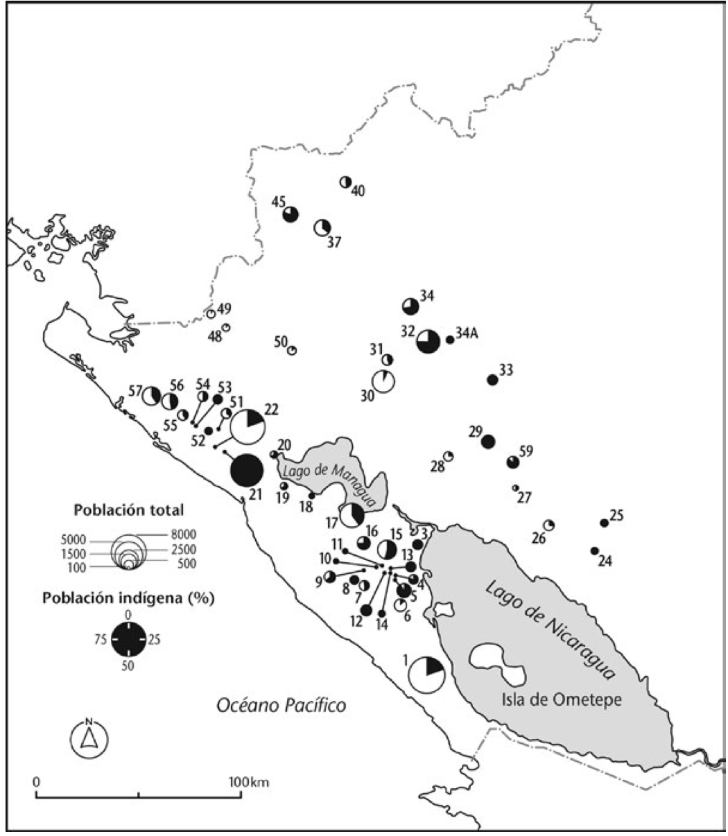
Mapa de la población total y porcentaje de indios;1776
Mapa 1776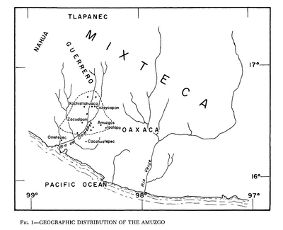
Geographic Distribution of the Amuzgo
Mapa 1969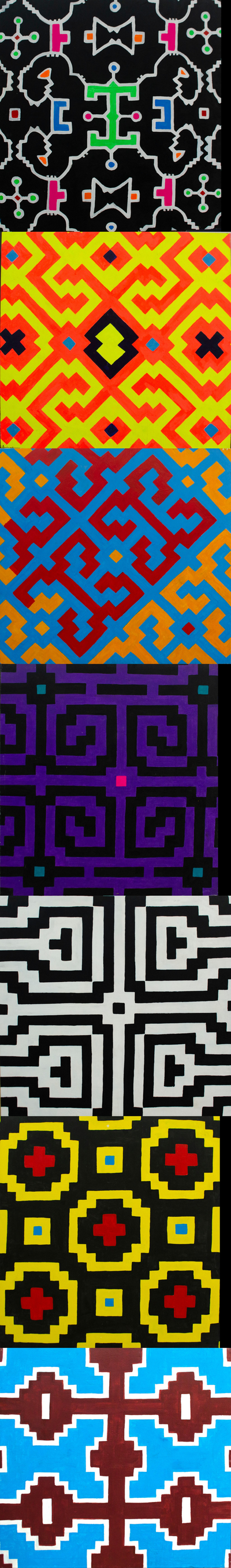
Serie Patrones
Obra de Arte
Matrimonios Duitama
Mapa 1500 - 1600
Guyanes. Amér. Mérid. no. 7. (Dresse par Ph. Vandermaelen, lithographie par H. Ode. Cinquième partie. - Amer. merid. Bruxelles. 1827)
Mapa 1800 - 1899
CONFED. ARGENTINA, CHILIE, PARAGUAY, Y URUGUAY.
Mapa 1850
Costa desde Cabo Falso;cerca del Cabo de Gracias a Dios;hasta Bluefields ("Campos Azules") (Nicaragua)
Mapa 1784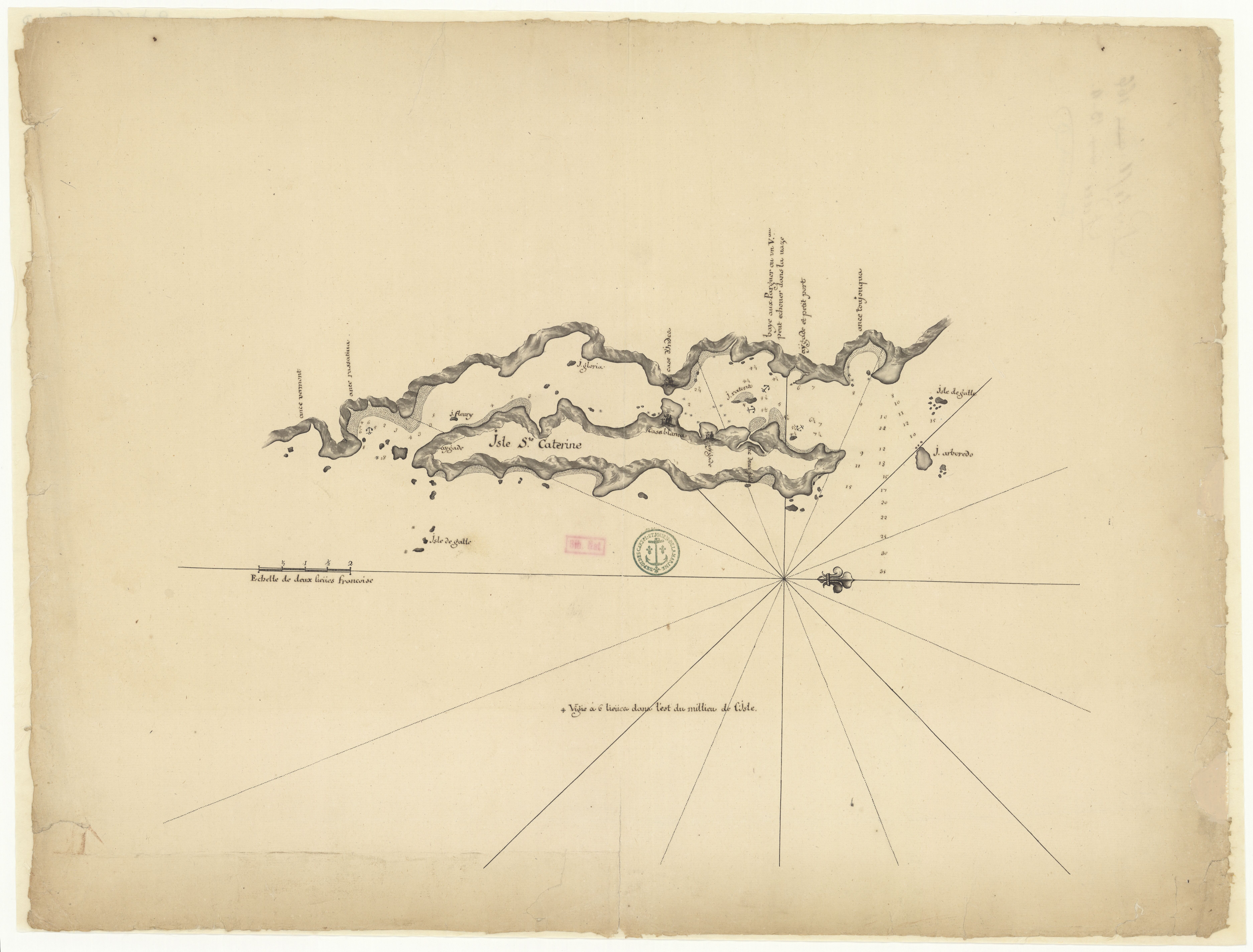
Isle Ste. Catherine
Mapa 1650 - 1750