Dispossesions in the Americas

Dispossesions in the Americas

  • Inicio
  • Explorar
  • Autores
  • Sobre
  • Arte
  • Cuerpos
  • Planes de Estudio
  • Herencia Cultural
  • Mapas
  • Territorios
Volver a Explorar

Leyendo en Inglés

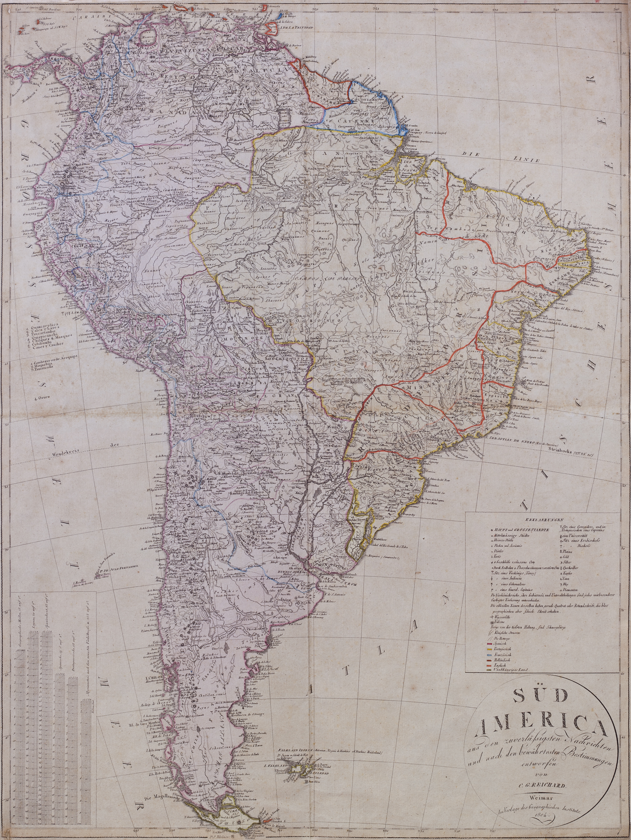
Mapa 1771

South America: From the latest Discoveries, Shewing the Spanish and Portuguese Settlements, according to Mr. D'Anville.

  • Delarochette,, Louis Stanislas d'Arcy.

Publicado: 1771

  • Descargar Imágen
  • Descargar Imágen
Mapa 1771

South America: From the latest Discoveries, Shewing the Spanish and Portuguese Settlements, according to Mr. D'Anville.

  • Delarochette,, Louis Stanislas d'Arcy.

Publicado: 1771

  • Descargar Imágen

Pueblos

  • PUELCHES
  • TEHUELCHES
  • PAMPAS
  • MOCOVI

Citas

Delarochette,, Louis Stanislas d'Arcy. South America: From the latest Discoveries, Shewing the Spanish and Portuguese Settlements, according to Mr. D'Anville. Map. London: Printed for John Bowles at the Black Horse in Cornhill, & Carington Bowles next the Chapter House in St. Pauls Church, 1771. https://catalogo.bn.gov.ar/F/VQ97SNCH5I2DMYK22HY1G878J53C6B39XM8KPYLPVFR7KMYYKA-34685?func=full-set-set&set_number=010736&set_entry=000037&format=999
  • Descargar Imágen

Artículos Relacionados

PARAGUAY

PARAGUAY

Mapa 1878
Comunidades indígenas del Paraguay

Comunidades indígenas del Paraguay

Mapa 2001
N. 24: Guyane.

N. 24: Guyane.

Mapa 1800 - 1899
PUEBLO CUICATECO

PUEBLO CUICATECO

Mapa 2020
Map of the basin of La Plata : based upon the results of the expedition under the command of Thos. J. Page;U.S. Navy;in the years 1853;-'54;-'55;& 56 and of the adjacent countries

Map of the basin of La Plata : based upon the results of the expedition under the command of Thos. J. Page;U.S. Navy;in the years 1853;-'54;-'55;& 56 and of the adjacent countries

Mapa 1853 - 1856
Mapa general de la Provincia de yndios Goagiros que llaman del Río del Hacha

Mapa general de la Provincia de yndios Goagiros que llaman del Río del Hacha

Mapa 1773
Tribus del Gran Chaco

Tribus del Gran Chaco

Mapa 1527 - 1790
TERRITORIO ARAWAKO

TERRITORIO ARAWAKO

Mapa 1399

Despojos en las Américas

Un Proyecto de

University of Pennsylvania

Copyright 2024

Con el apoyo de

Mellon Foundation

Diseño y Desarrollo del Sitio

Element 84

Créditos Artísticos

Delarochette,, Louis Stanislas d’Arcy. South America: From the latest Discoveries, Shewing the Spanish and Portuguese Settlements, according to Mr. D’Anville. Map. London: Printed for John Bowles at the Black Horse in Cornhill, & Carington Bowles next the Chapter House in St. Pauls Church, 1771. https://catalogo.bn.gov.ar/F/VQ97SNCH5I2DMYK22HY1G878J53C6B39XM8KPYLPVFR7KMYYKA-34685?func=full-set-set&set_number=010736&set_entry=000037&format=999
Páginas del Sitio

  • Inicio
  • Explorar
  • Autores
  • Sobre
  • Arte
  • Cuerpos
  • Planes de Estudio
  • Herencia Cultural
  • Mapas
  • Territorios