
Pueblos
- TONOKOTE
Cita
Biblioteca del Congreso de la Nación. Legislación oficial actualizada. September 1, 2020. Accessed June 8, 2025 https://bcn.gob.ar/uploads/SEPARATA-2-PUEBLOS-ORIGINARIOS-BORA-01-09-2020.pdf
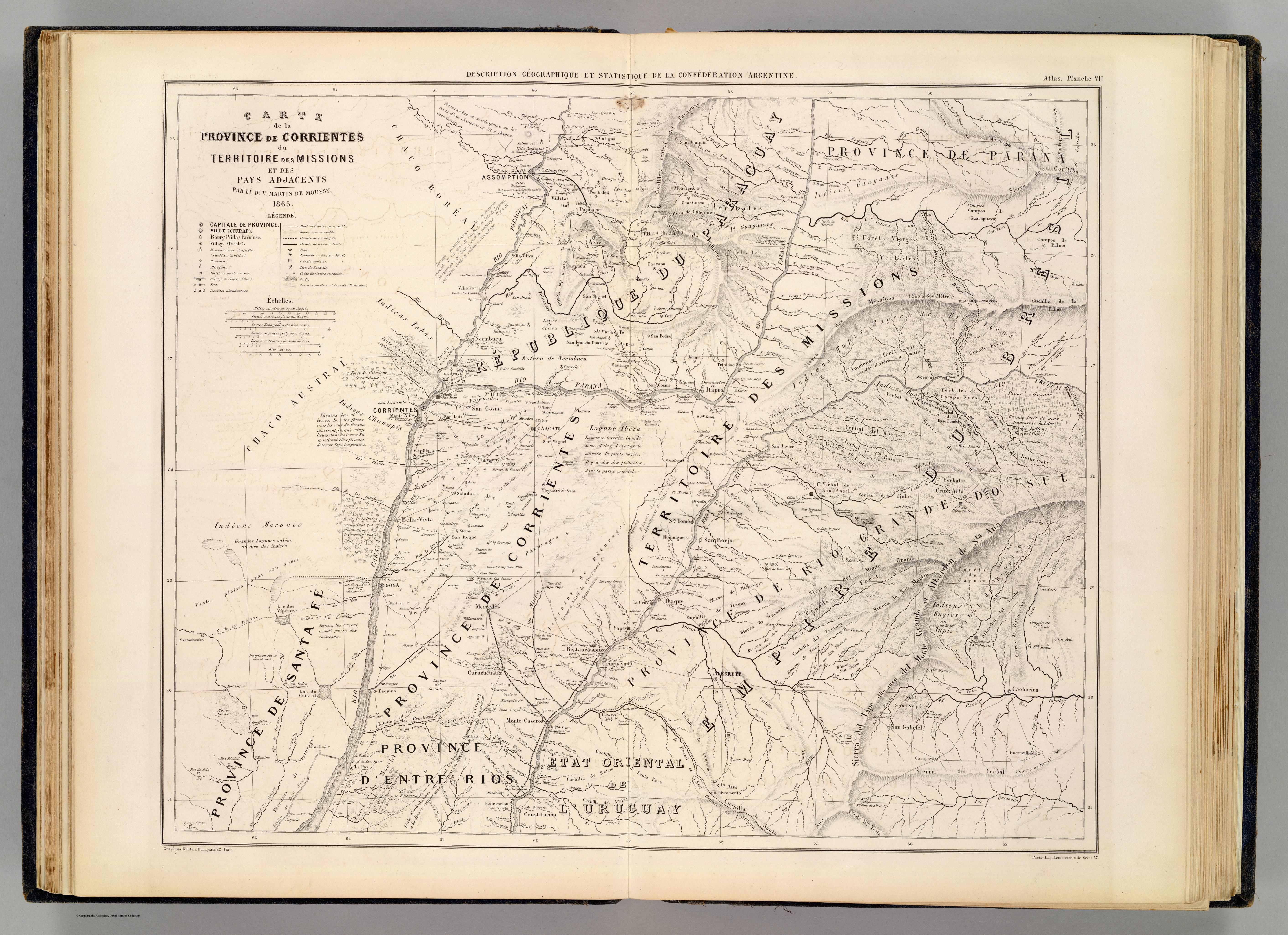
CARTE de la PROVINCE de CORRIENTES du TERRITOIRE des MISSIONS et des PAYS ADJACENTS
Mapa 1865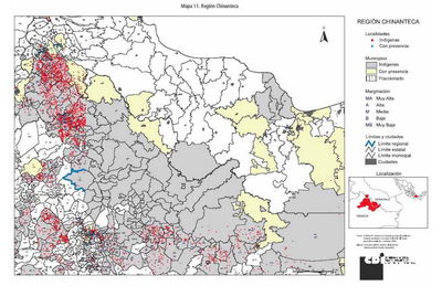
REGIÓN CHINANTECA
Mapa 2000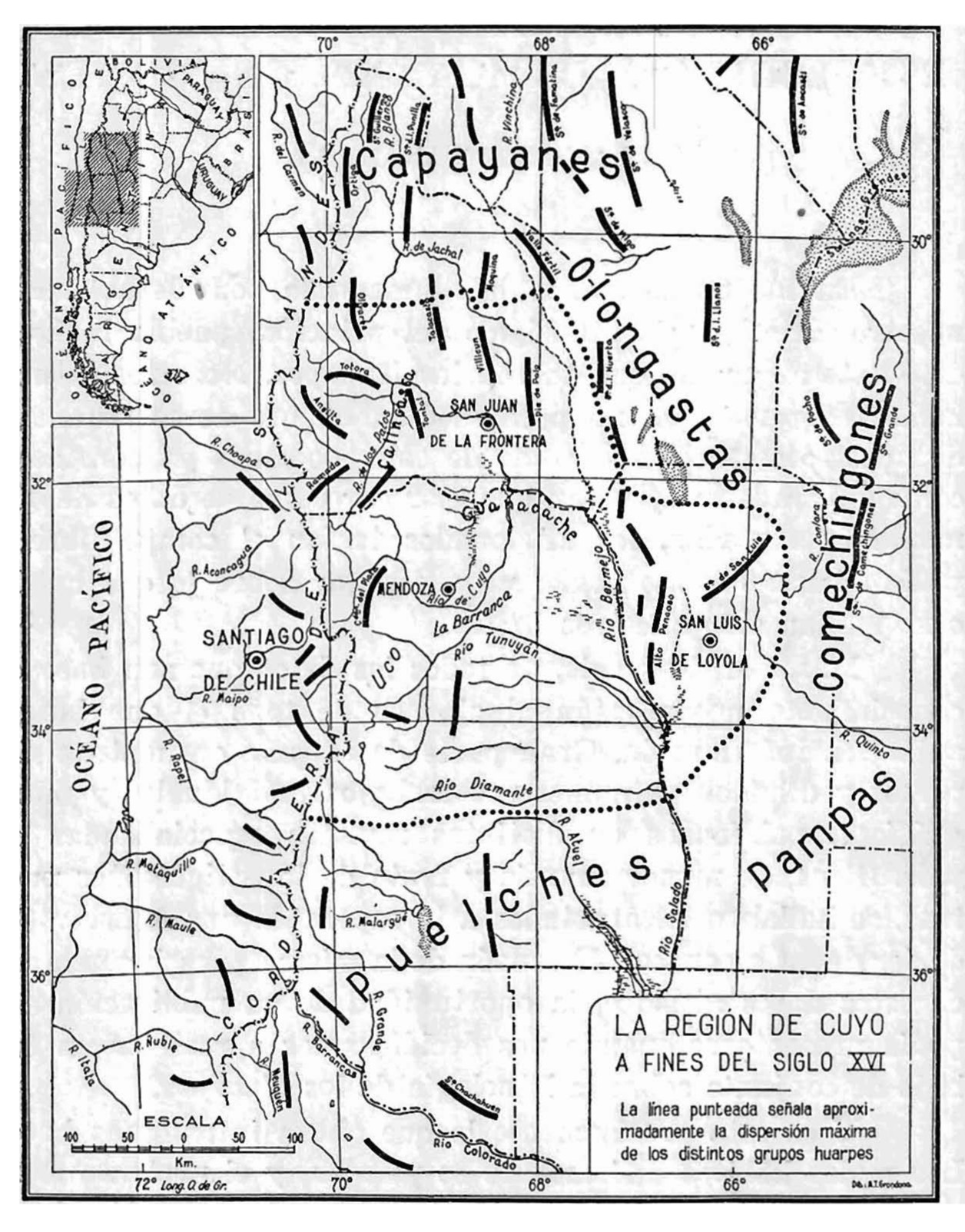
La región de Cuyo a fines del siglo XVI
Mapa 1590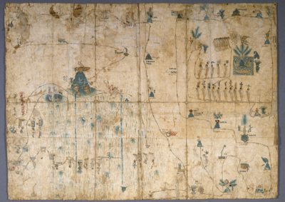
MAPA DE SIGUENZA/MAP OF SIGUENZA
Mapa 1500 - 1599
REGIÓN ALTOS DE CHIAPAS
Mapa 2000
This is a description of the Isle of Pines and Golden Island / William Hacke
Mapa 1688
CARTA ETNOGRÁFICA DE MEXICO
Mapa 1864
Map of the RIVER AQUIRY (an Affluent of the Purûs)
Mapa 1800 - 1850