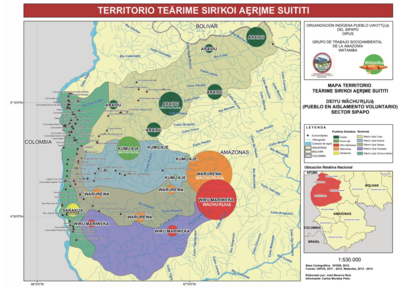
Peoples- PARIAGOTOS
- DISSERRADOS
- SALIVAS
- GARAN
- GARAUNOS
- ARUACOS
- CARIBES
- GUAYCAS
- PARIAPO
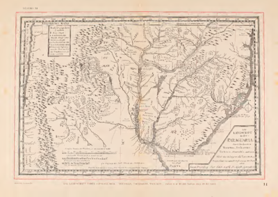
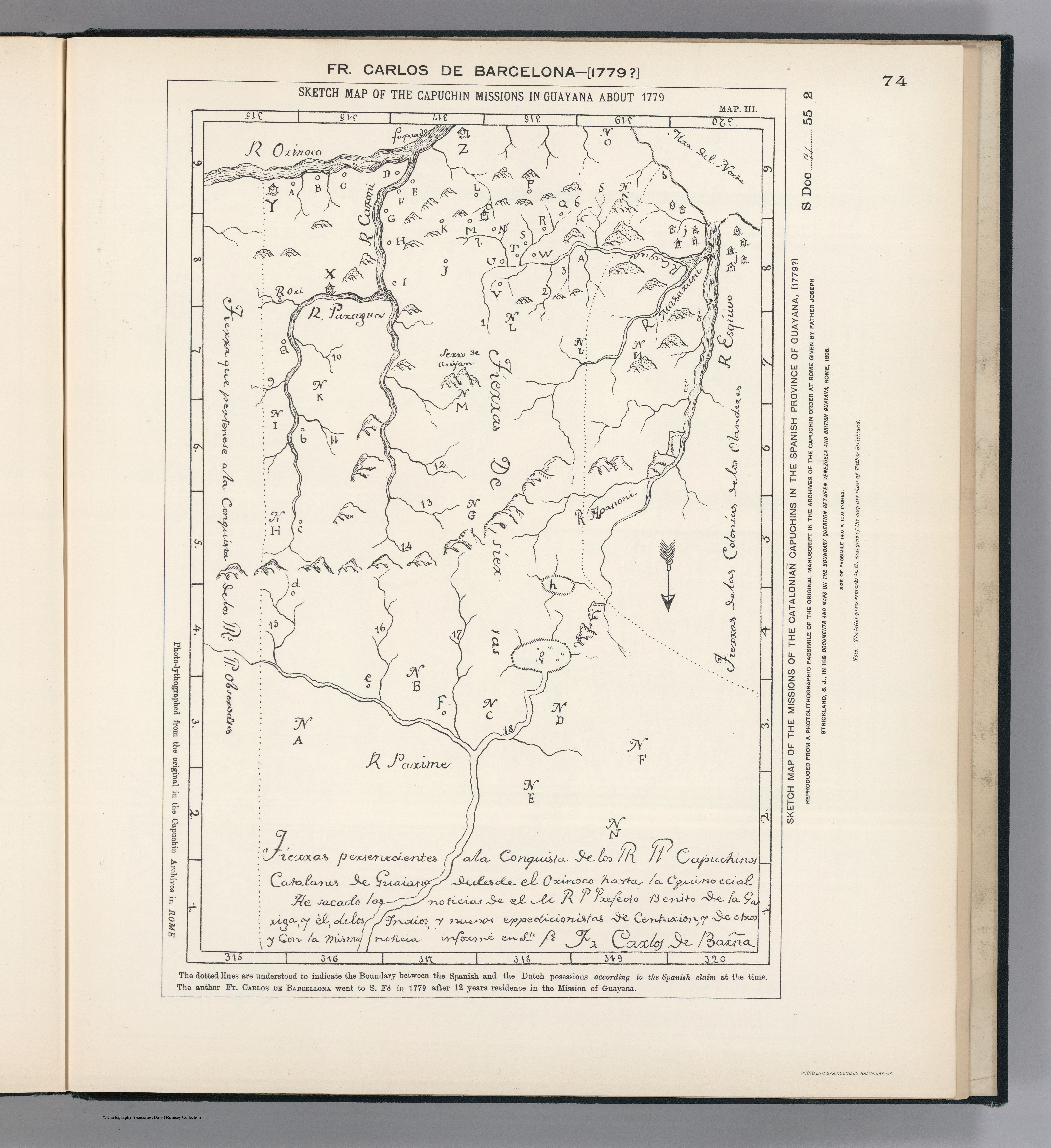
CitationCarlos de Barcelona;F. Sketch Map of the Capuchin Missions in Guayana about 1779. Map. Reproduced from a Photolithographic Facsimile of the Manuscript Original in the Archives of the Capuchin Order at Rome given by Father Joseph Strickland, S.J., in his Documents and Maps on the Boundary Question between Venezuela and British Guayana, Rome, 1898. Photo. Lith. by A. Hoen & Co., Baltimore MD. Accessed March 4;2023.
https://searchworks.stanford.edu/view/bw170wt2006.
Carlos de Barcelona;F. Sketch Map of the Capuchin Missions in Guayana about 1779. Map. Reproduced from a Photolithographic Facsimile of the Manuscript Original in the Archives of the Capuchin Order at Rome given by Father Joseph Strickland, S.J., in his Documents and Maps on the Boundary Question between Venezuela and British Guayana, Rome, 1898. Photo. Lith. by A. Hoen & Co., Baltimore MD. Accessed March 4;2023. https://searchworks.stanford.edu/view/bw170wt2006.