Dispossesions in the Americas

Dispossesions in the Americas

  • Home
  • Explore
  • About
  • Authors
  • Art
  • Bodies
  • Curricula
  • Cultural Heritage
  • Maps
  • Territories
Back to Explore
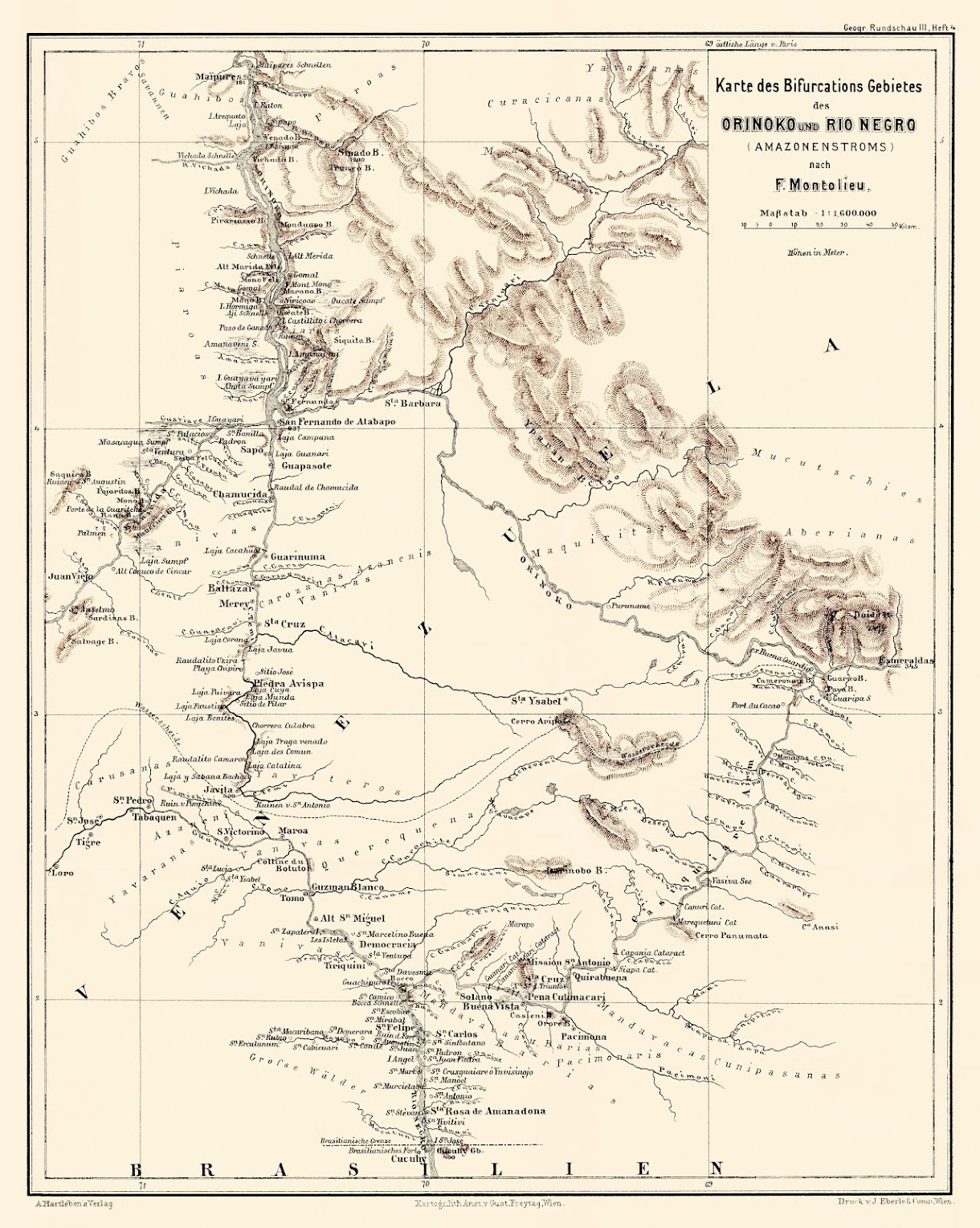
Map 1881

Karte des Bifurcations Gebietes des ORINOKO und RIO NEGRO (AMAZONENSTROMS)

  • MONTOLIEU;F.

Published: 1881

  • Download Image

Peoples

  • JIVI
  • PIAROA
  • CURACHICANAS
  • YAVARANA
  • YEKUANA
  • ABERIANA
  • MUCUCHIES
  • YAVITERO
  • QUEREQUENAS
  • MANDAWAKA
  • BARIA
  • PACIMONARIS
  • CUNIPASANAS
  • AZANENI
  • BANIVA
  • CARUSANAS

Citation

Montolieu;F. Karte des Bifurcations Gebietes des Orinoko und Rio Negro. Map. Deutsche Rundschau für Geographie und Statistik;1881. Accessed February 26;2023. https://photos.google.com/share/AF1QipNVdN9CqKjLxx5Ar1sTWTlvVFtux8HIRu5_mmgV_uM6g6Y4fD9qpRVyFGBVzwv_4w/photo/AF1QipMy7oBrbdiCXlBRsOtcj0olfcCFhswym23LuEvv?key=X3lqZGN3TXdJVk05bWN0OU54amFtNjNTdFd3VDVB.
  • Download Image

Reading in Spanish

Map 1881

Karte des Bifurcations Gebietes des ORINOKO und RIO NEGRO (AMAZONENSTROMS)

  • MONTOLIEU;F.

Published: 1881

  • Download Image
  • Download Image

Related Content

AL SERMO FERDINANDO II GRANDVCA DI TOSCANA

AL SERMO FERDINANDO II GRANDVCA DI TOSCANA

Map 1661
Isles de Cayenne

Isles de Cayenne

Map 1686
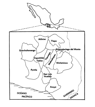
GRUPOS ETNOLINGÜÍSTICOS DE OAXACA

GRUPOS ETNOLINGÜÍSTICOS DE OAXACA

Map 1999 - 2002
Terra Indígena Atikum

Terra Indígena Atikum

Map 1996 - 2021
The coast of Tierra Firma from Cartagena to Golfo Triste

The coast of Tierra Firma from Cartagena to Golfo Triste

Map 1775
Nova carta DO BRAZIL e da AMERICA PORTUGUEZA

Nova carta DO BRAZIL e da AMERICA PORTUGUEZA

Map 1821
Map of the Ucayali River

Map of the Ucayali River

Map 1808 - 1812
PUEBLO NAHUA DE NAYARIT

PUEBLO NAHUA DE NAYARIT

Map 2020

Dispossessions in the Americas

A project by

University of Pennsylvania

Copyright 2024

With support from

Mellon Foundation

Site design & development

Element 84

Art Credits

Montolieu;F. Karte des Bifurcations Gebietes des Orinoko und Rio Negro. Map. Deutsche Rundschau für Geographie und Statistik;1881. Accessed February 26;2023. https://photos.google.com/share/AF1QipNVdN9CqKjLxx5Ar1sTWTlvVFtux8HIRu5_mmgV_uM6g6Y4fD9qpRVyFGBVzwv_4w/photo/AF1QipMy7oBrbdiCXlBRsOtcj0olfcCFhswym23LuEvv?key=X3lqZGN3TXdJVk05bWN0OU54amFtNjNTdFd3VDVB.
Site Pages

  • Home
  • Explore
  • About
  • Authors
  • Art
  • Bodies
  • Curricula
  • Cultural Heritage
  • Maps
  • Territories