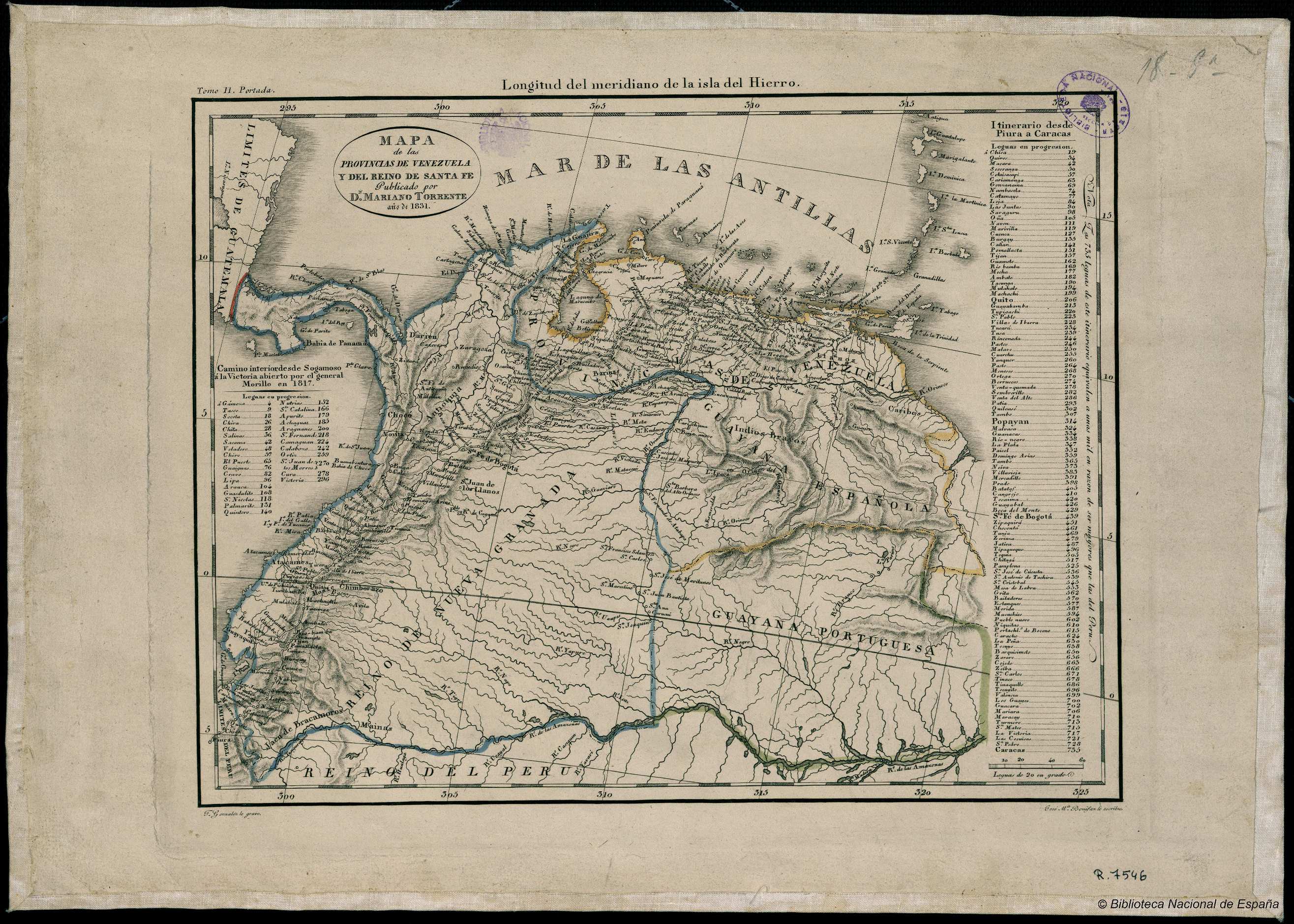
Peoples
- CARIBE
- INDIOS BRAVOS
Citation
González;F. Mapa de las Provincias de Venezuela y del Reino de Santa Fe. Map. Madrid: Mariano Torrente;1831. Accessed January 1;2023. http://bdh.bne.es/bnesearch/detalle/bdh0000018658.

Girls with Guitars
Artwork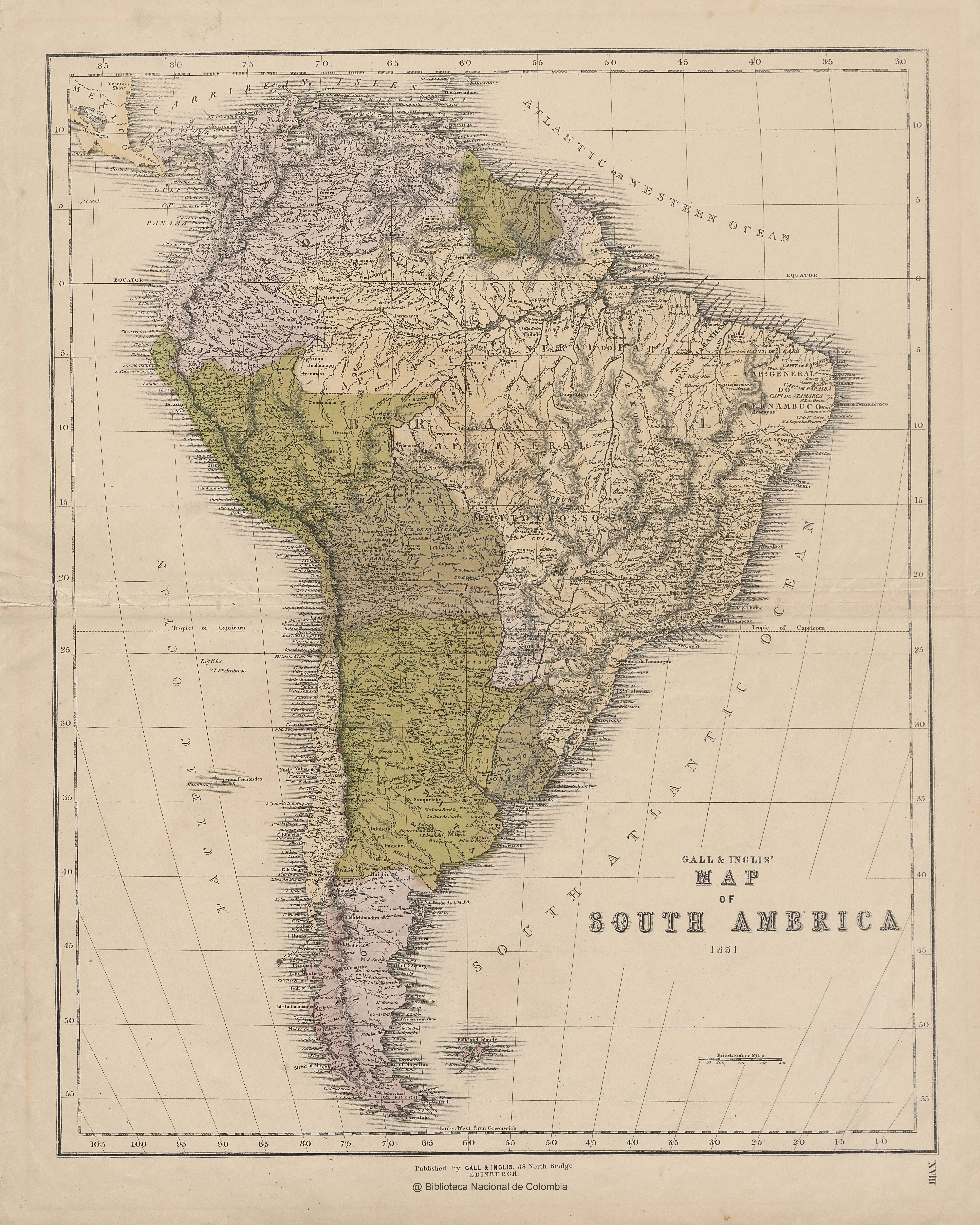
GALL & INGLIS' MAP OF SOUTH AMERICA
Map 1851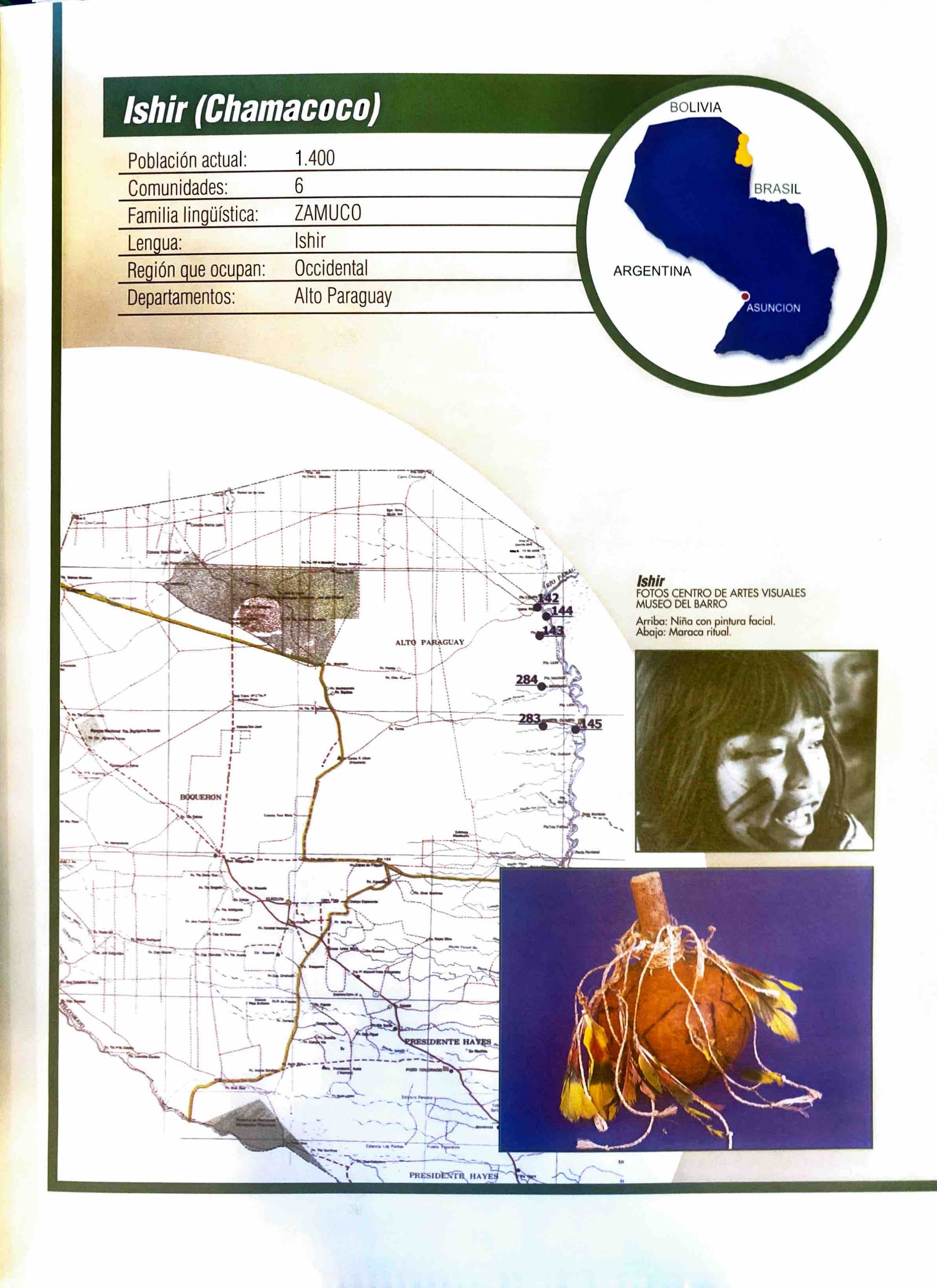
Ishir (Chamacoco)
Map 2001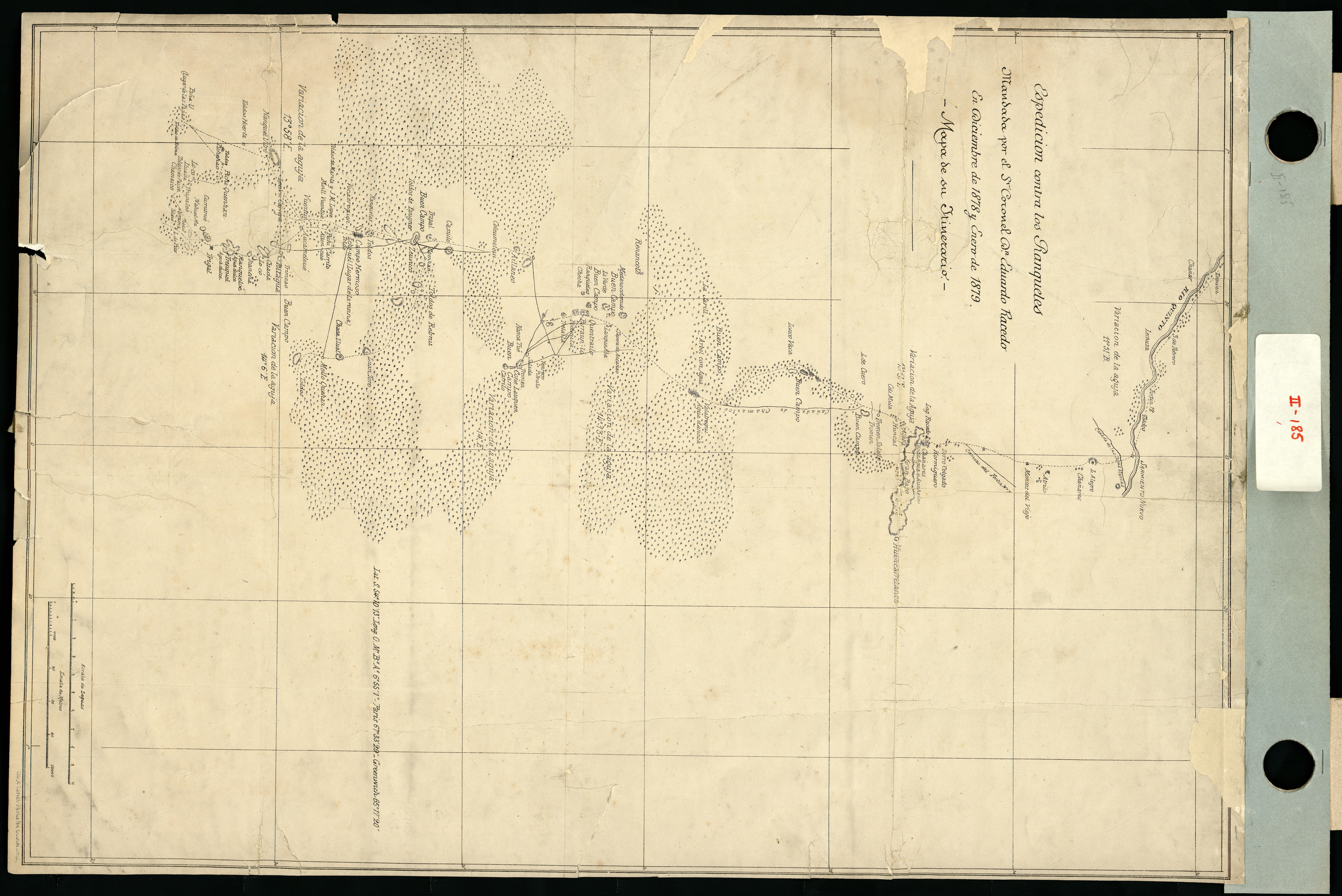
Espedicion contra los ranqueles
Map 1878 - 1879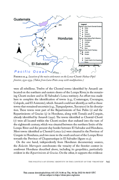
Location of the main settlements on the Lenca-Chortí-Nahua-Pipil frontier, 1530-1539. (Taken from Lara-Pinto 2009 with modifications.)
Map 1530 - 1539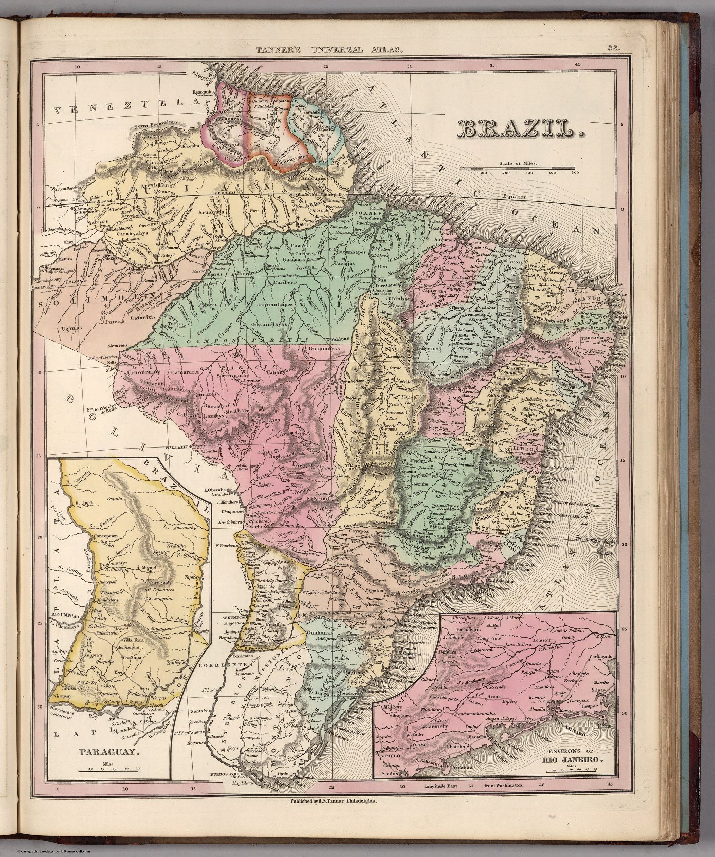
BRAZIL
Map 1800 - 1850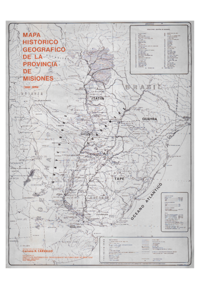
Mapa histórico geográfico de la provincia de Misiones (1585-1896)
Map 1585 - 1896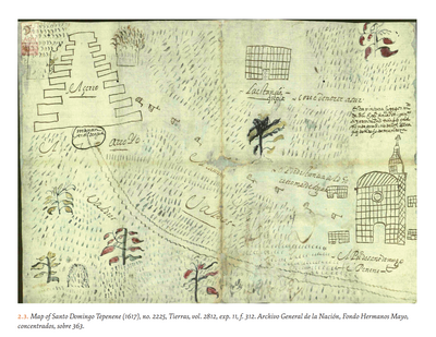
MAP OF SANTO DOMINGO TEPENENE
Map 1617