Peoples
- MINUANES
Citation
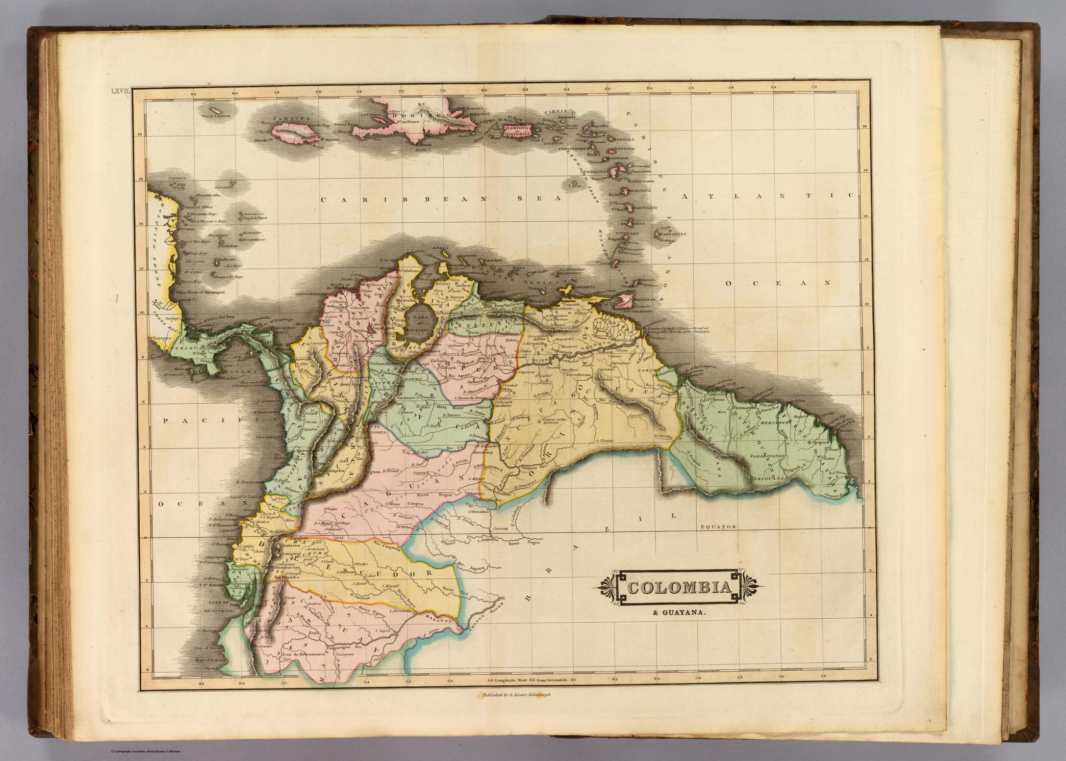
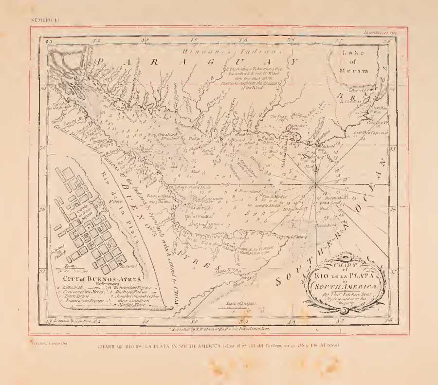
Kitchin Sen V, and Temas Falkner. Chart of Rio de la Plata in South America. Map. London: R. Baldwin at the Rose, 1783. Accessed August 14, 2022. https://ia802607.us.archive.org/17/items/cartografiajesui00furl/cartografiajesui00furl.pdf.