Dispossesions in the Americas

Dispossesions in the Americas

  • Home
  • Explore
  • About
  • Authors
  • Art
  • Bodies
  • Curricula
  • Cultural Heritage
  • Maps
  • Territories
Back to Explore
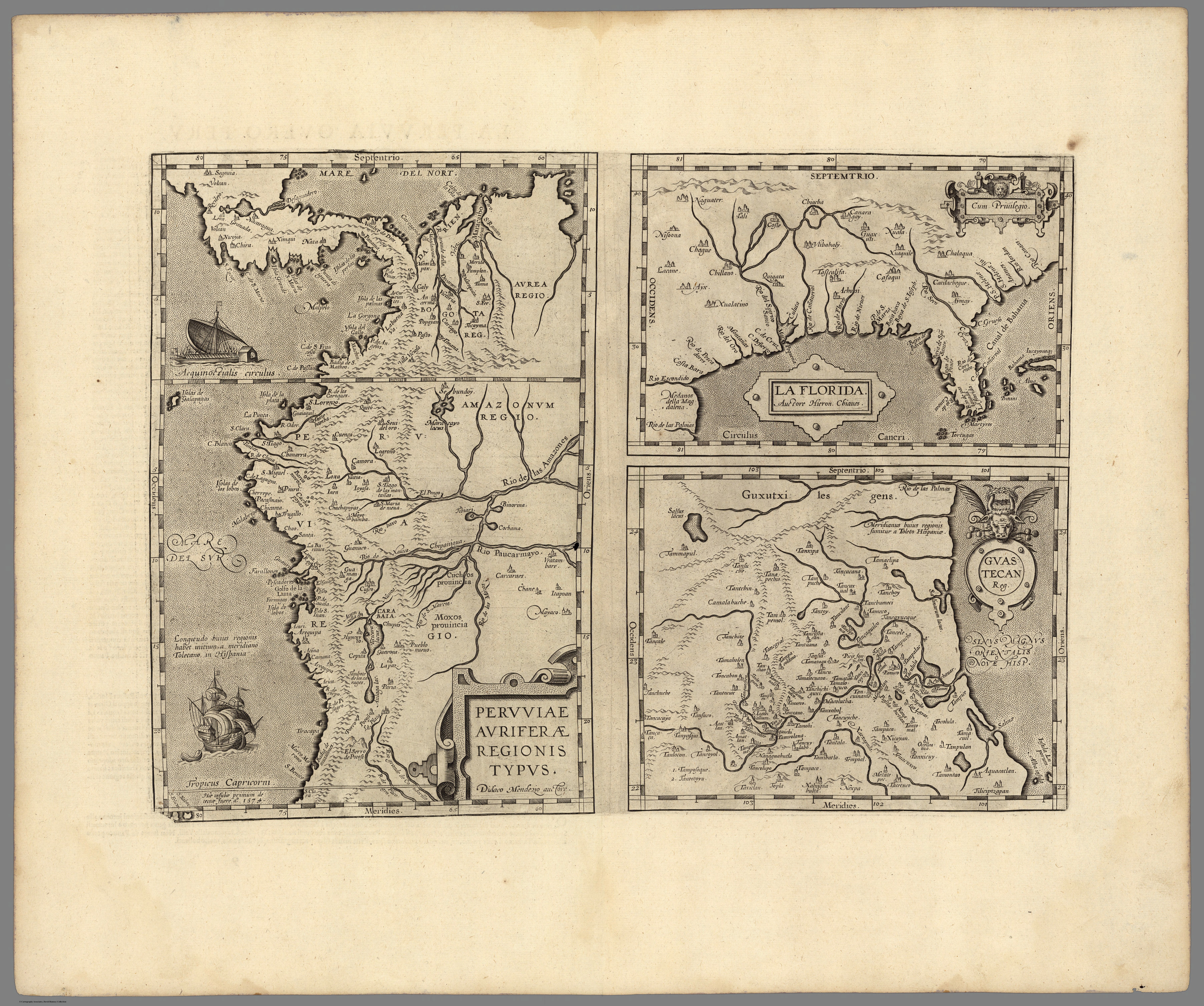
Map 1608

Peruviae Auriferae Regionis Typus. Didaco Mendezio auctore (with) La Florida. Auctore Hieron. Chiaves. Cum Privilegio. (with) Guastecan.

  • Abraham Ortelius y Jan Baptista Vrients

Published: 1608

  • Download Image

Peoples

  • BARCAMOROS
  • CACHAPOYAS
  • CARABAIA
  • CAROQUES
  • CARCARAES
  • CHANE
  • CHICAMA
  • CHIPANIGUA
  • GUXUTXI
  • MALABRIGO
  • MOXOS
  • NICOYA
  • PACASMAIO

Citation

Vrients, J. B. (Cartographer). (1608). Peruviae, La Florida, [Map]. David Rumsey. https://www.davidrumsey.com/luna/servlet/detail/RUMSEY~8~1~275537~90048979
  • Download Image

Reading in Spanish

Map 1608

Peruviae Auriferae Regionis Typus. Didaco Mendezio auctore (with) La Florida. Auctore Hieron. Chiaves. Cum Privilegio. (with) Guastecan.

  • Abraham Ortelius y Jan Baptista Vrients

Published: 1608

  • Download Image
  • Download Image

Related Content

PUEBLO SHARANAHUA

PUEBLO SHARANAHUA

Map 2021
Carte de l'Amérique Méridionale dressée par Alcide d'Orbigny. d'aprés ses itinéraires sur les parties qu'il à
parcourues servant à l'intelligence de son voyage et de ses observations sur l'homme américain

Carte de l'Amérique Méridionale dressée par Alcide d'Orbigny. d'aprés ses itinéraires sur les parties qu'il à parcourues servant à l'intelligence de son voyage et de ses observations sur l'homme américain

Map 1829
Carte de l'embouchure d'Ouyapoc

Carte de l'embouchure d'Ouyapoc

Map 1700 - 1799
Conversion of Ejidos into Private Property, Sajcabaja and Jocotenango, Guatemala, Late 18th Century through 19th Century

Conversion of Ejidos into Private Property, Sajcabaja and Jocotenango, Guatemala, Late 18th Century through 19th Century

Map 1700 - 1800
Entree de la Riviere d'Aprouak situee dans la Guyane

Entree de la Riviere d'Aprouak situee dans la Guyane

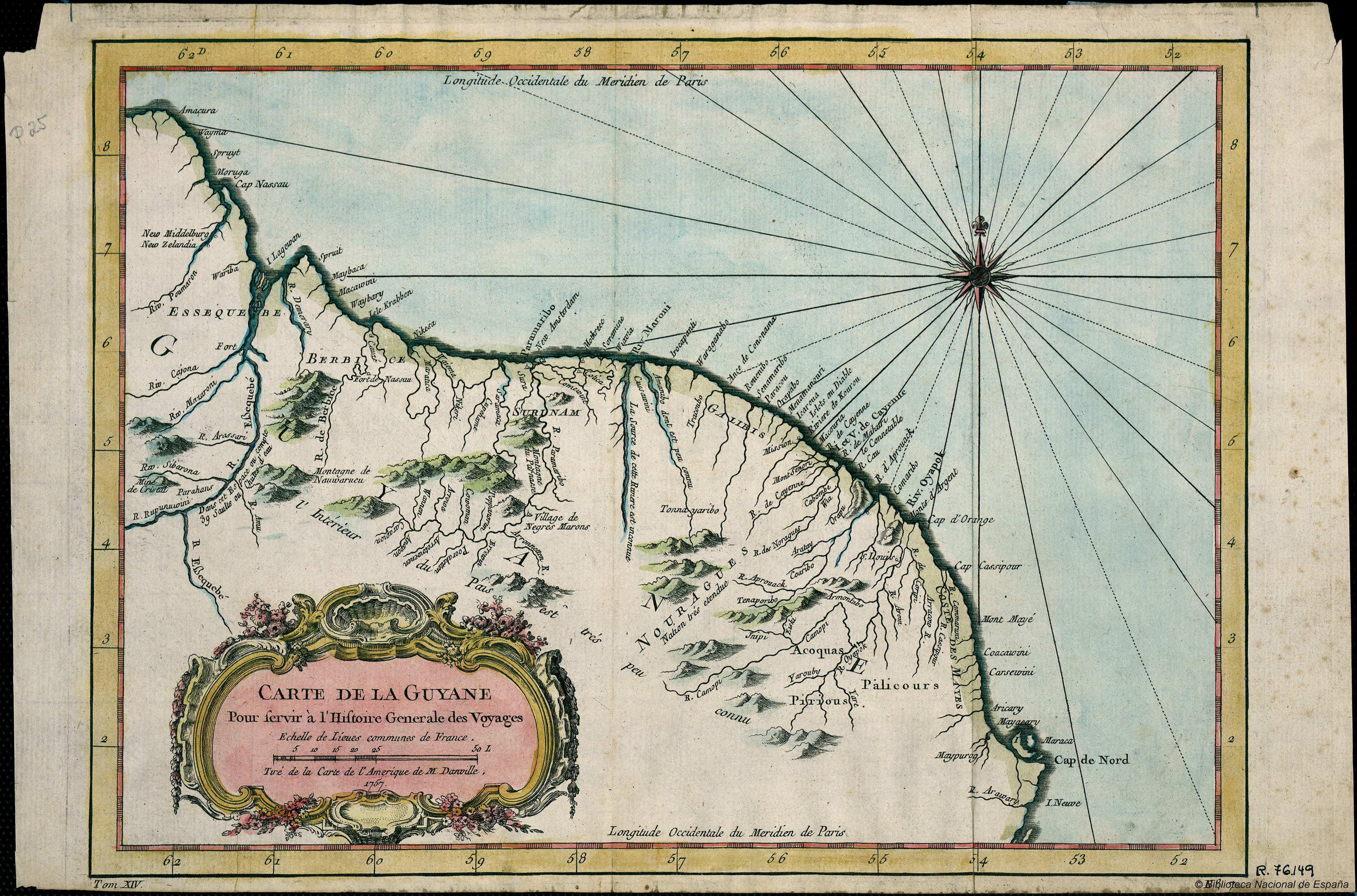
Map 1767
GUARANÍ OCCIDENTAL

GUARANÍ OCCIDENTAL

Map 2015
The Gulf of Amapalla or Fonesca

The Gulf of Amapalla or Fonesca

Map 1711
Lengua Pilagá - Ubicación geográfica

Lengua Pilagá - Ubicación geográfica

Map 2021

Dispossessions in the Americas

A project by

University of Pennsylvania

Copyright 2024

With support from

Mellon Foundation

Site design & development

Element 84

Art Credits

Vrients, J. B. (Cartographer). (1608). Peruviae, La Florida, [Map]. David Rumsey. https://www.davidrumsey.com/luna/servlet/detail/RUMSEY~8~1~275537~90048979

Site Pages

  • Home
  • Explore
  • About
  • Authors
  • Art
  • Bodies
  • Curricula
  • Cultural Heritage
  • Maps
  • Territories