
Peoples
- TINE
Citation
Ministerio de Cultura Perú. (2020). Lista de pueblos indígenas u originarios. BDPI: Base de Datos de Pueblos Indígenas u Originarios. https://bdpi.cultura.gob.pe/pueblos-indigenas
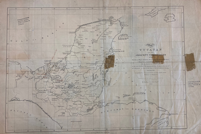
MAP OF YUCATAN AND THE ADJACENT TERRITORIES OF THE ITZAEX OR MAYA INDIANS, THE TIPUANS, QUECHEACHES, MOPANES, LACANDONES, CHOLES, & WITH THE DISTRICT OF VERA PAZ
Map 1854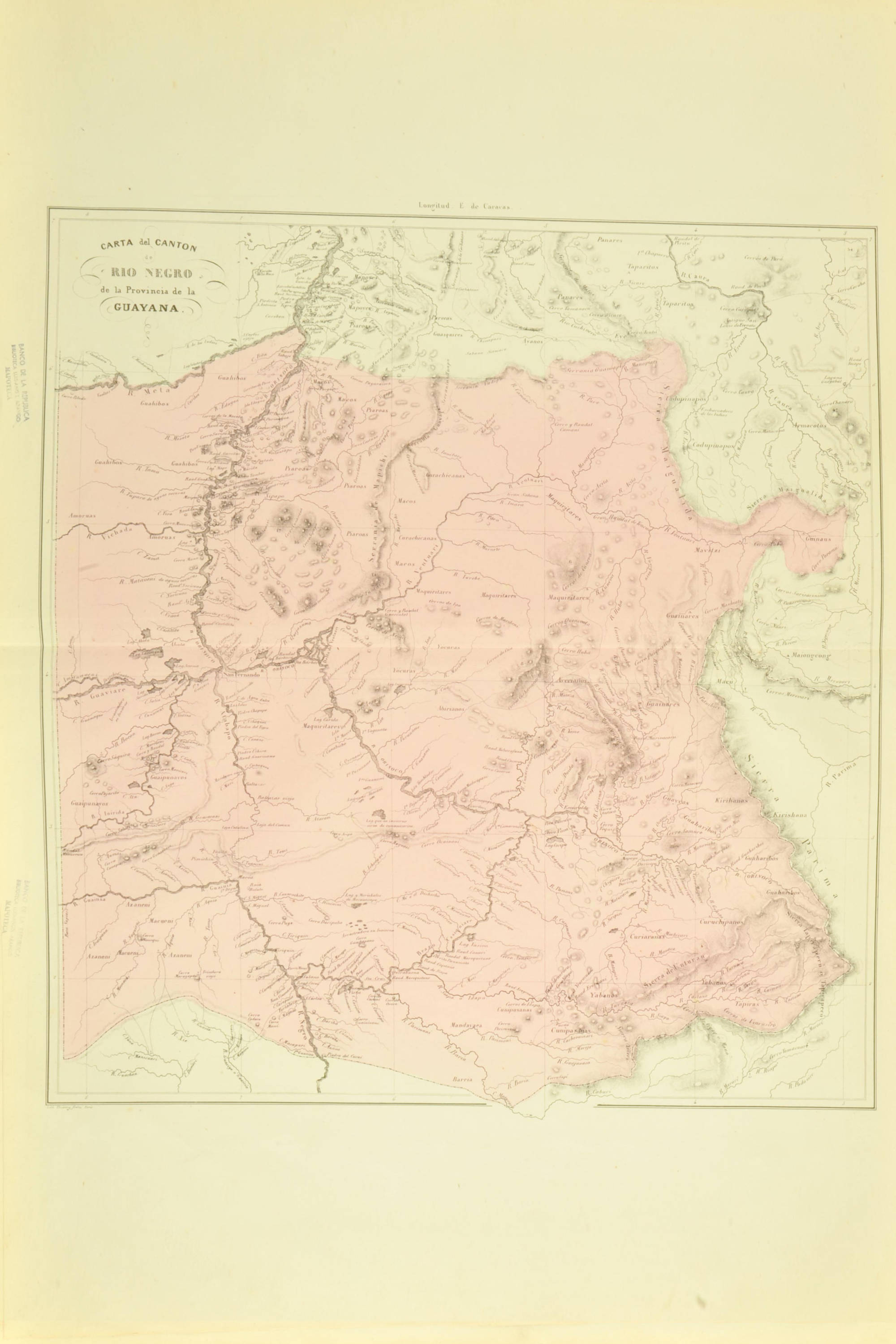
CARTA del CANTON de RÍO NEGRO de la Provincia de la GUAYANA
Map 1840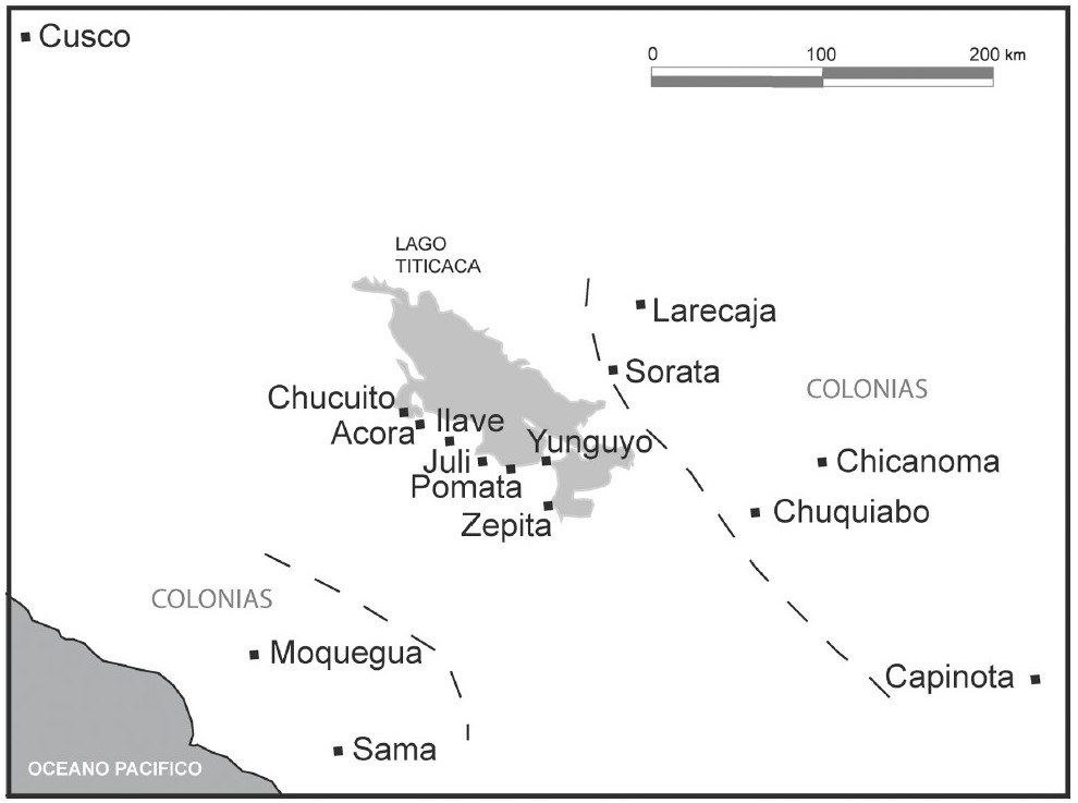
THE AYMARA POLITY OF THE LUPAQA: COMMERCIAL DESTINIES AND VERTICALITY IN THE 16TH CENTURY
Map 1500 - 1599
Serie Fatherland / Padre Patria
Artwork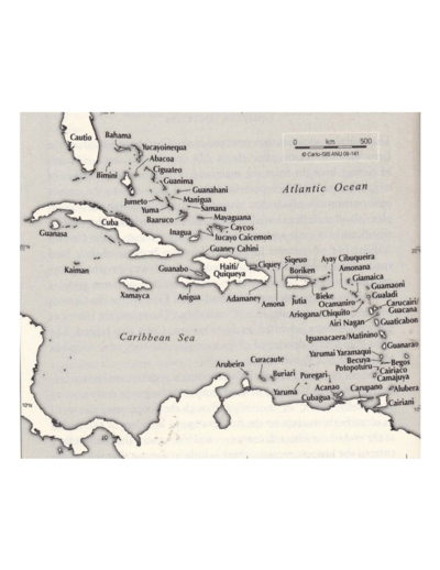
The Taino names of the Caribbean islands based on Jalil Sued-Badillo
Map 2003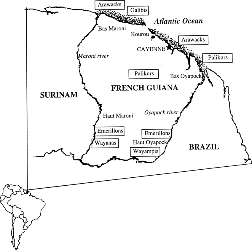
Fig. 1. Map of French Guiana with locations of the various Amerindian groups
Map 1999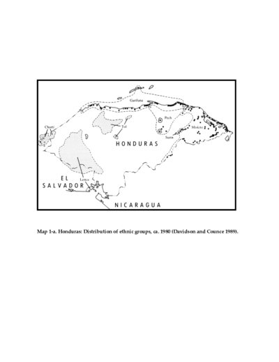
Honduras: Distribution of ethnic groups, ca. 1980 (Davidson and Counce 1989)
Map 1980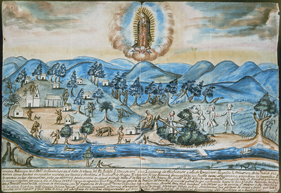
VISTA DE LA NUEVA POBLACION DE SAN FERNANDO DE GUADALUPE EN EL SALTO DE AGUA DEL RIO TULIJA, QUE LLEVA SU CORRIENTE A LAS LAGUNAS DE CHICHICASTE Y DE TÉRMINOS
Map 1795