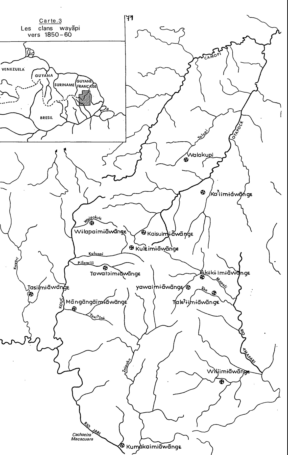
Peoples- YNDYOS ZAMBOS
- YNDYOS MOSQUITOS
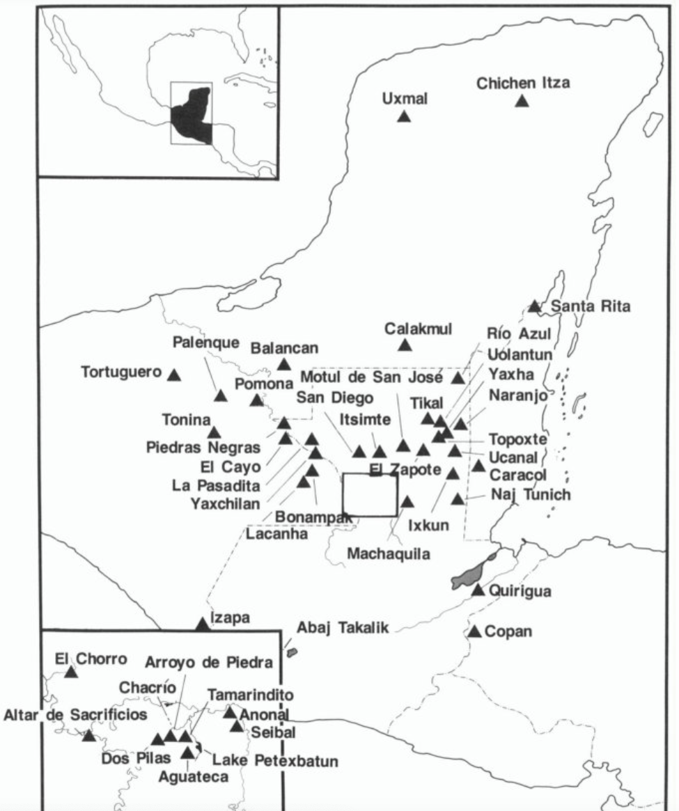
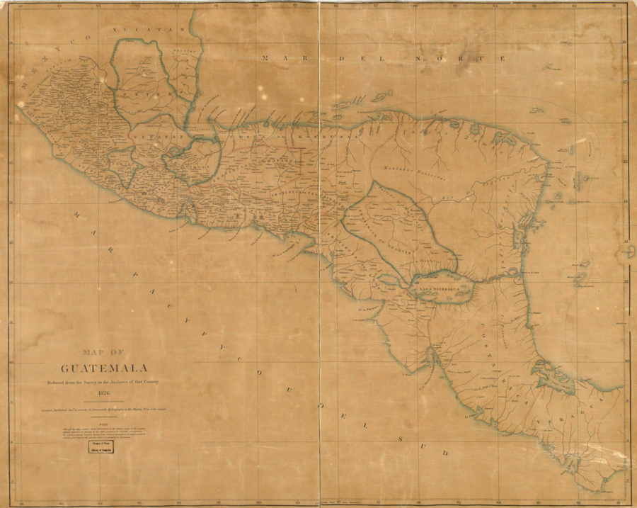
CitationArrowsmith;Aaron. Map of Guatemala: reduced from the survey in the archives of that country. [London: Published by A. Arrowsmith;to His Majesty;1826] Map. https://www.loc.gov/item/2004629011/.
Arrowsmith;Aaron. Map of Guatemala: reduced from the survey in the archives of that country. [London: Published by A. Arrowsmith;to His Majesty;1826] Map. https://www.loc.gov/item/2004629011/.
![[Côtes de la Guyane].](https://dnet8ble6lm7w.cloudfront.net/maps/CNT/CNT0171.jpeg)
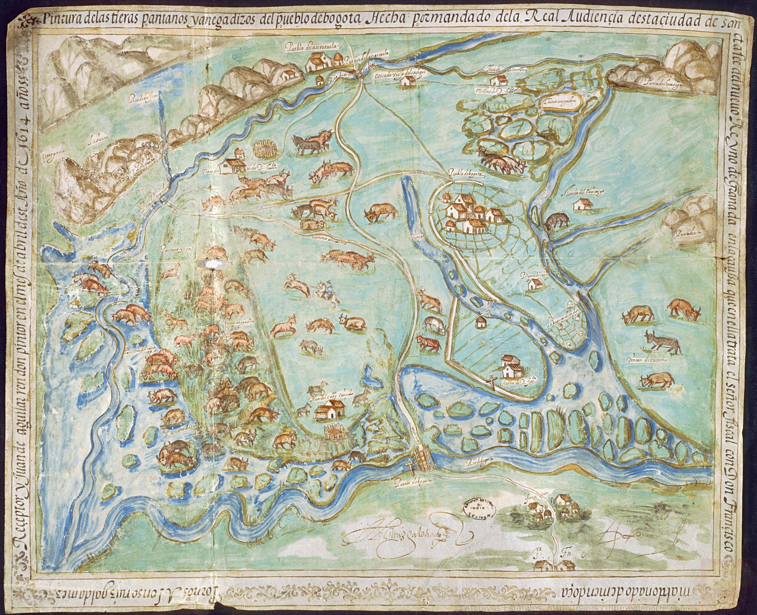
![Mapa particular que comprehende la mayor parte de las provincias de Cartagena y Panamá para la [...] con los Yndios Darienes y de las nuevas fundaciones que para su continuacion, y pacificacion y evitar el trato ilícito de extrangeros frecuentado [...] Año de 1785 en la costa del Norte del Ysthmo del Darien y en la del leste del golfo de Uraba, abandonadas en el de 90, y de las reforzadas ultimamente para su [...]nardo y San Geronimo situados en las orillas del Rio del Sinu, fronterizos a los mencionados Yndio](https://dnet8ble6lm7w.cloudfront.net/maps/COL/COL0083.jpg)