Dispossesions in the Americas

Dispossesions in the Americas

  • Home
  • Explore
  • About
  • Authors
  • Art
  • Bodies
  • Curricula
  • Cultural Heritage
  • Maps
  • Territories
Back to Explore
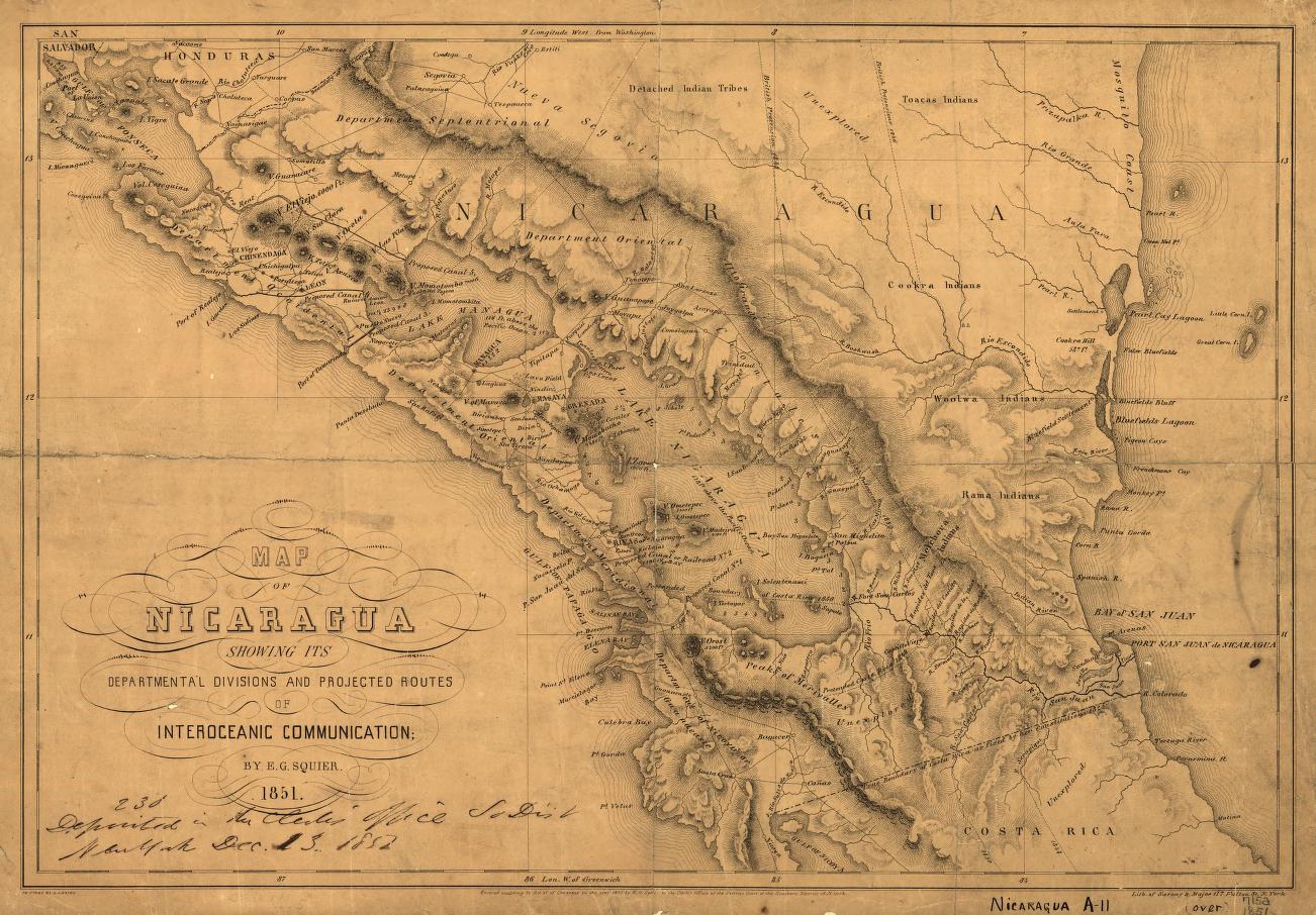
Map 1851

Map of Nicaragua showing departmental divisionsand projected routes of interoceanic communication.

  • SARONY & MAJOR

Published: 1851

  • Download Image

Peoples

  • TOACAS INDIANS
  • COOKRA INDIANS
  • WOOLWA INDIANS
  • RAMA INDIANS

Citation

Map of Nicaragua showing departmental divisionsand projected routes of interoceanic communication. Sarony & Major. 1851. New York. Library of Congress.G4850 1851 .S2 TIL. http://hdl.loc.gov/loc.gmd/g4850.ct000428AccessedJuly252023
  • Download Image

Reading in Spanish

Map 1851

Map of Nicaragua showing departmental divisionsand projected routes of interoceanic communication.

  • SARONY & MAJOR

Published: 1851

  • Download Image
  • Download Image

Related Content

GUARANÍ ÑANDÉVA

GUARANÍ ÑANDÉVA

Map 2015
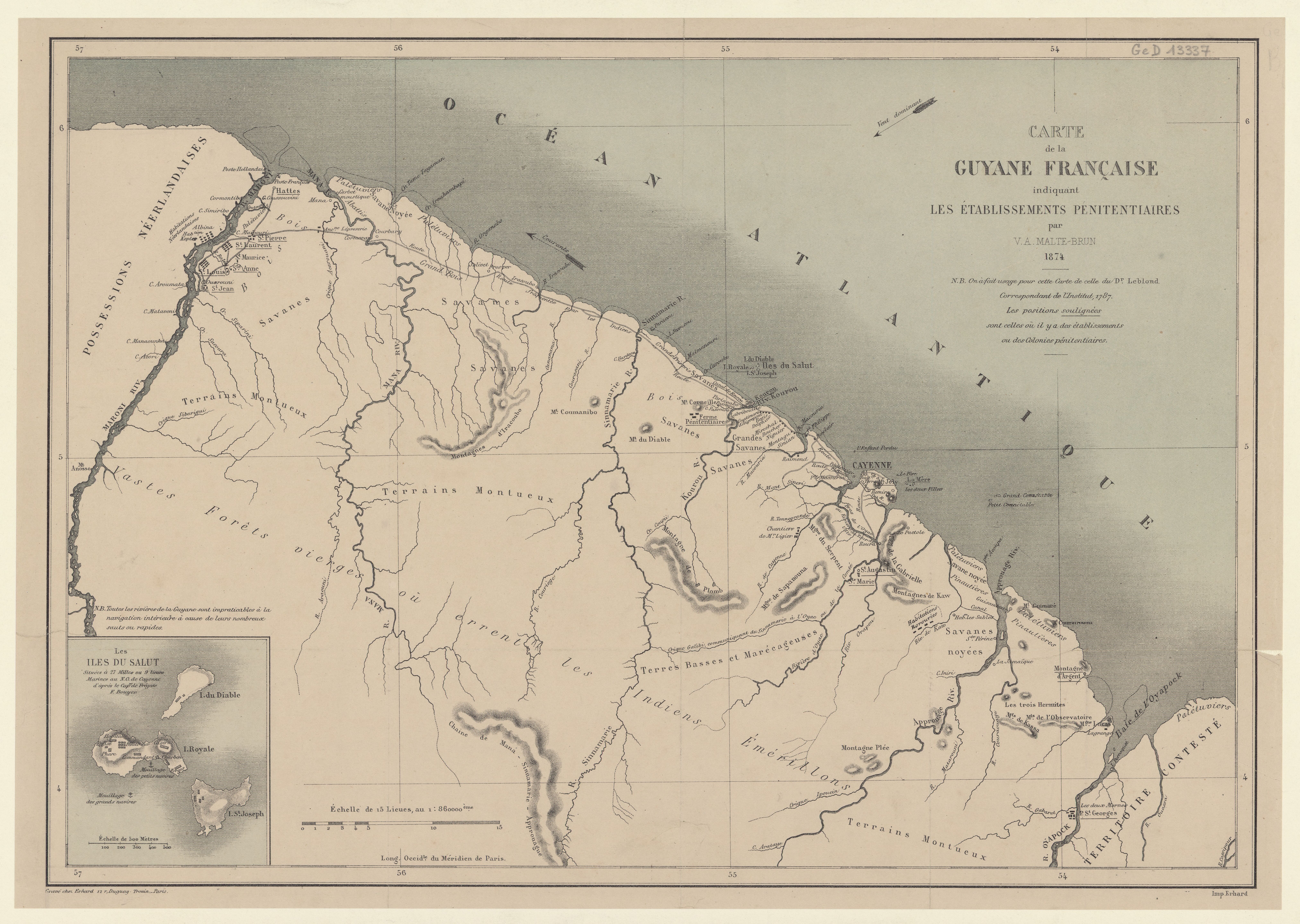
Plan de la Rivière de Kourou et de la mission.

Plan de la Rivière de Kourou et de la mission.

Map 1700 - 1799
PARTIE DE LA COLOMBIE

PARTIE DE LA COLOMBIE

Map 1827
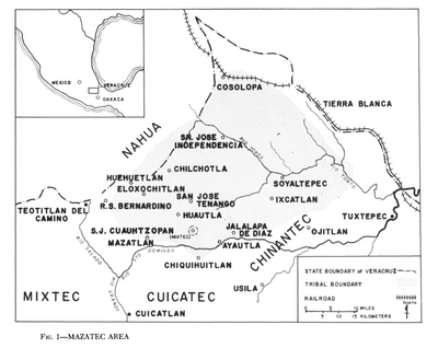
REGIÓN CUICATÁN, MAZATECA. TEHUACÁN Y ZONGOLICA

REGIÓN CUICATÁN, MAZATECA. TEHUACÁN Y ZONGOLICA

Map 2000
Mapa de la Republica de Nicaragua y parte de las de Honduras y Costa Rica Continiendo los mejores datos conocidos hasta 1873

Mapa de la Republica de Nicaragua y parte de las de Honduras y Costa Rica Continiendo los mejores datos conocidos hasta 1873

Map 1800 - 1873
TERRE FERME ou sont les governations ou gouvernemens de Terre ferme;Cartagene Ste. Marthe;Rio de la Hache;Venezuela;nouvelle Andalusie Popayein;nouveau royme de Grenade;&c

TERRE FERME ou sont les governations ou gouvernemens de Terre ferme;Cartagene Ste. Marthe;Rio de la Hache;Venezuela;nouvelle Andalusie Popayein;nouveau royme de Grenade;&c

Map 1656
Mbyá

Mbyá

Map 2001
Modern Distribution and Location of Tzetzal and Tzotzil Communities

Modern Distribution and Location of Tzetzal and Tzotzil Communities

Map 1959

Dispossessions in the Americas

A project by

University of Pennsylvania

Copyright 2024

With support from

Mellon Foundation

Site design & development

Element 84

Art Credits

Map of Nicaragua showing departmental divisionsand projected routes of interoceanic communication. Sarony & Major. 1851. New York. Library of Congress.G4850 1851 .S2 TIL. http://hdl.loc.gov/loc.gmd/g4850.ct000428AccessedJuly252023
Site Pages

  • Home
  • Explore
  • About
  • Authors
  • Art
  • Bodies
  • Curricula
  • Cultural Heritage
  • Maps
  • Territories